Broomhall
Settlement in Surrey
England
Broomhall
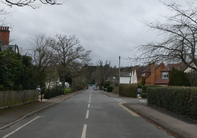
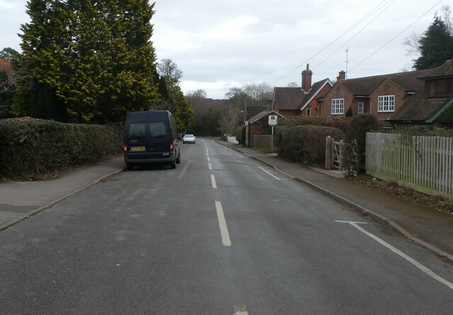
Broomhall is a small village located in the county of Surrey, England. Situated about 30 miles southwest of London, it falls within the district of Waverley. The village is nestled in the picturesque Surrey Hills, surrounded by beautiful countryside and rolling hills, offering residents and visitors a tranquil and scenic environment.
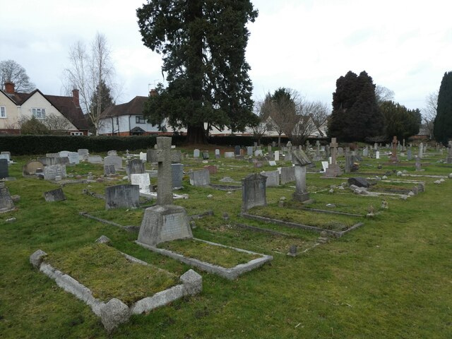
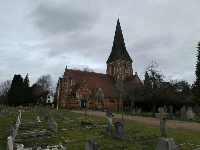
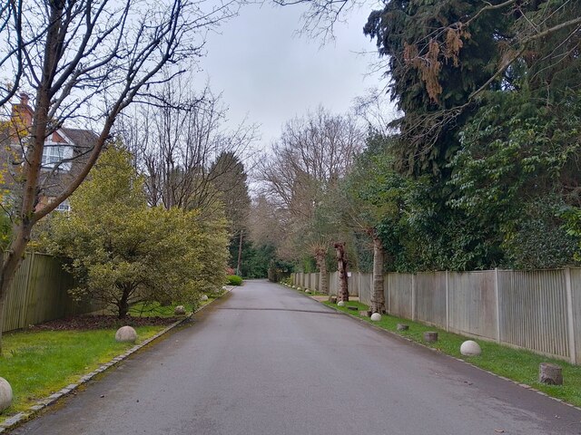
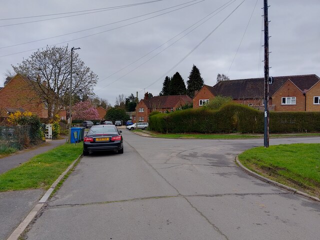
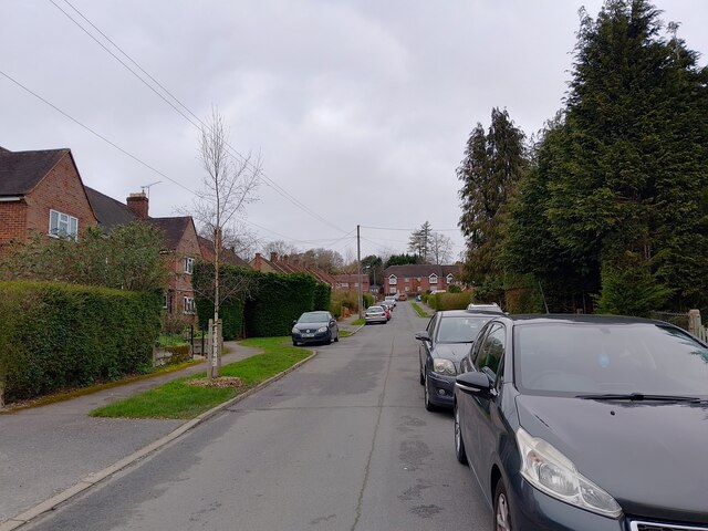
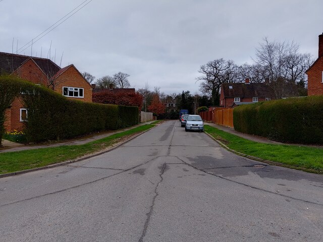
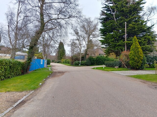
Broomhall is known for its charming and idyllic rural setting, making it a desirable location for those seeking a peaceful retreat from the hustle and bustle of city life. The village is characterized by its traditional English cottages and historic buildings, which add to its quaint and timeless appeal.
Despite its small size, Broomhall offers a range of amenities and services to its residents. These include a village hall, a primary school, and a local pub, providing a sense of community and meeting places for social gatherings. The village also benefits from excellent transport links, with nearby access to major road networks and public transportation, making it convenient for commuters and visitors.
Nature enthusiasts will find plenty to explore in and around Broomhall. The village is surrounded by vast areas of unspoiled countryside, offering opportunities for walking, hiking, and cycling. The nearby Surrey Hills Area of Outstanding Natural Beauty is a popular destination for outdoor activities, with its diverse landscapes, woodlands, and wildlife.
In summary, Broomhall is a charming village in Surrey, offering a peaceful and scenic retreat from urban life. Its idyllic setting, historic buildings, and access to nature make it an attractive destination for both residents and visitors seeking a quintessentially English countryside experience.
If you have any feedback on the listing, please let us know in the comments section below.
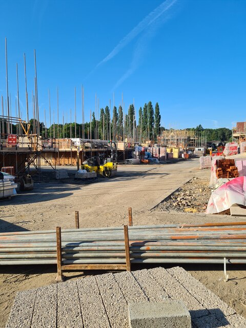
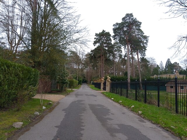
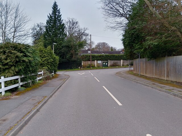
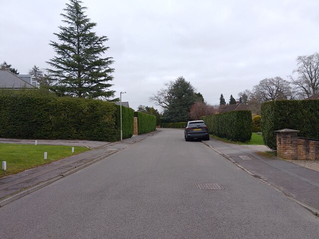
Broomhall Images
Images are sourced within 2km of 51.394789/-0.629822 or Grid Reference SU9667. Thanks to Geograph Open Source API. All images are credited.


Broomhall is located at Grid Ref: SU9667 (Lat: 51.394789, Lng: -0.629822)
Unitary Authority: Windsor and Maidenhead
Police Authority: Thames Valley
What 3 Words
///faster.tooth.simply. Near Sunningdale, Berkshire
Nearby Locations
Related Wikis
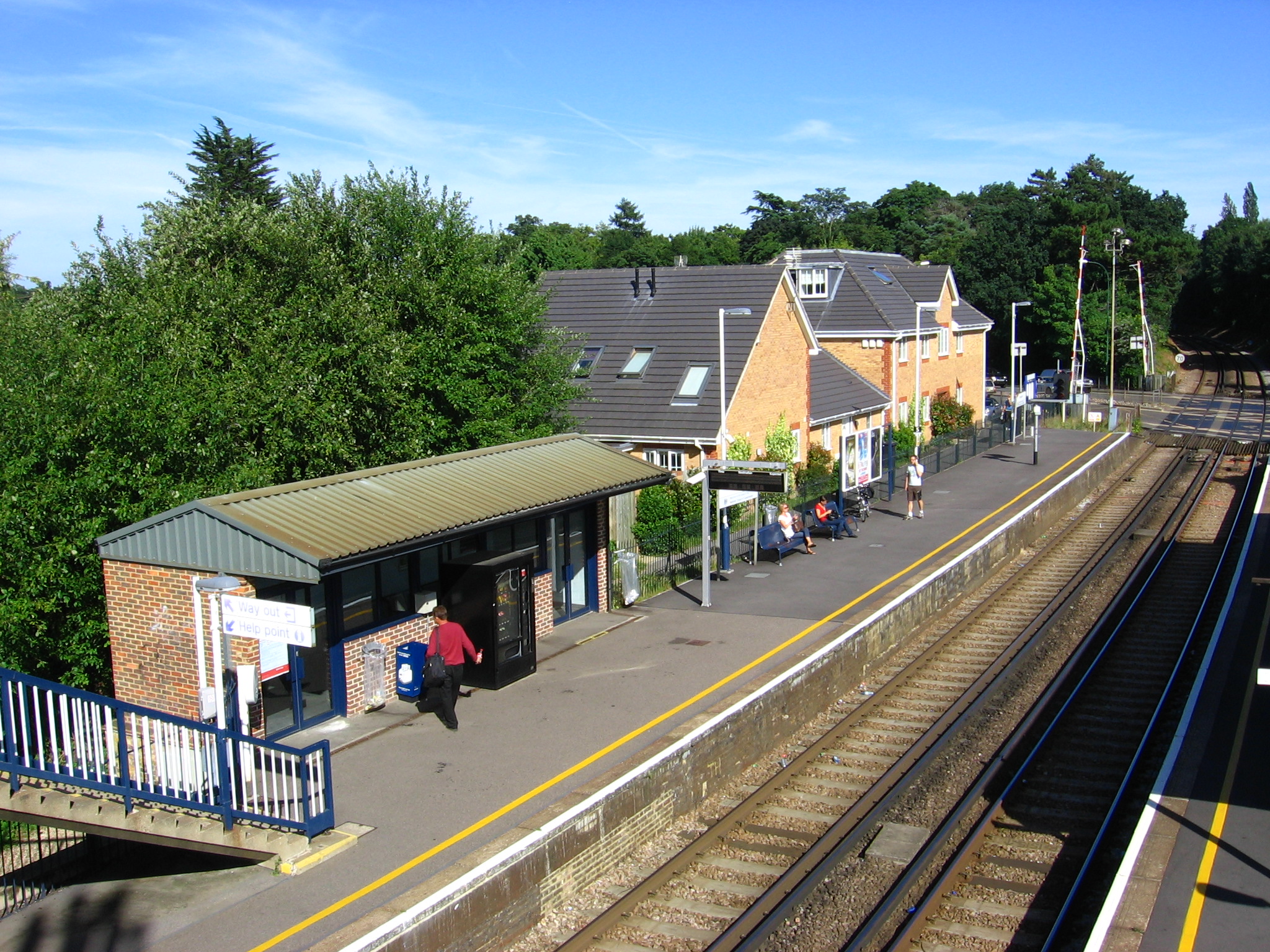
Sunningdale railway station
Sunningdale railway station serves the village of Sunningdale in Berkshire, England. It is 26 miles 71 chains (43.3 km) down the line from London Waterloo...

Sunningdale
Sunningdale is a large village with a retail area and a civil parish in the Royal Borough of Windsor and Maidenhead. It takes up the extreme south-east...

Bromhall Priory
Bromhall Priory was a nunnery of Benedictine nuns at Sunningdale in the English county of Berkshire. It was established in 1200 and when dissolved in 1524...
Sunningdale Barrow
Sunningdale Barrow is the site of three Bronze Age round barrows, including one bowl barrow near Sunningdale railway station, Sunningdale (grid reference...
Nearby Amenities
Located within 500m of 51.394789,-0.629822Have you been to Broomhall?
Leave your review of Broomhall below (or comments, questions and feedback).