Long Sutton
Civil Parish in Lincolnshire South Holland
England
Long Sutton

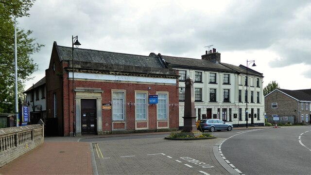
Long Sutton is a civil parish located in Lincolnshire, England. It is situated in the South Holland district and has a population of approximately 4,000 residents. The town is known for its historic market square, which dates back to the 13th century and is still used for weekly markets.
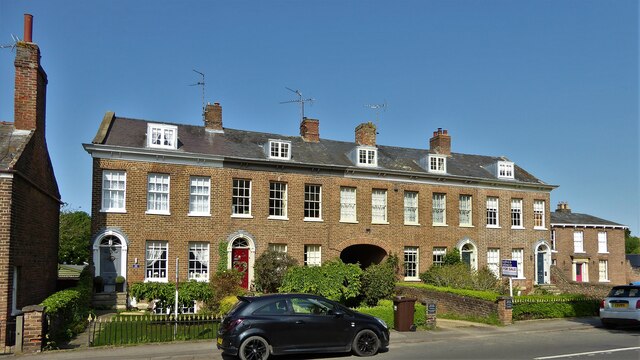
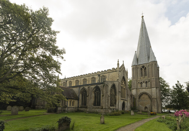
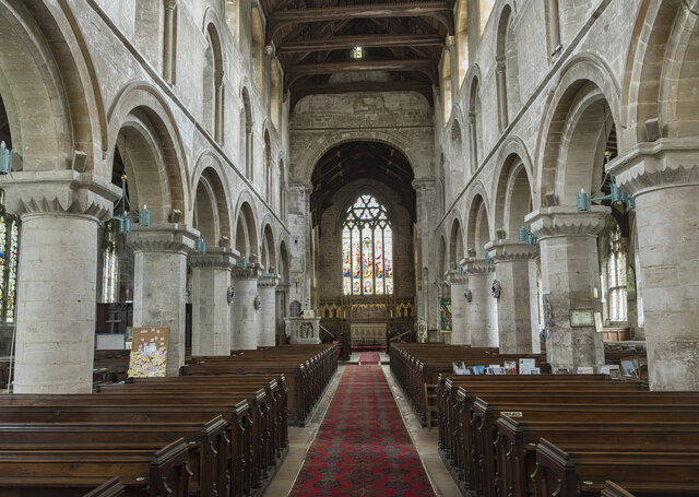
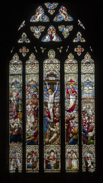
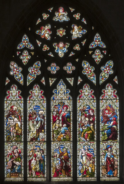
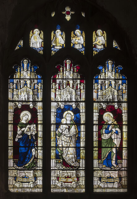
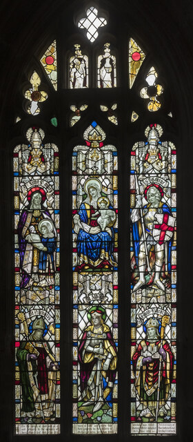
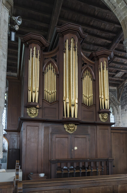
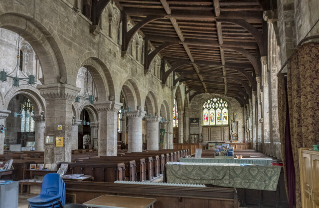
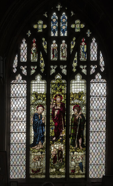
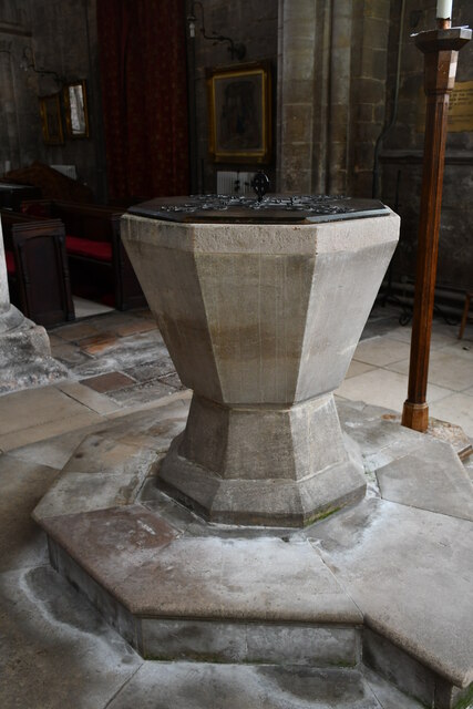
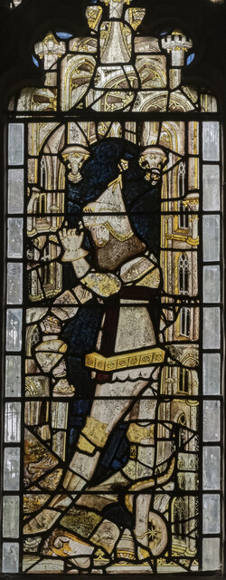
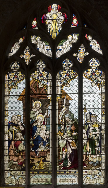
Long Sutton has a mix of historic buildings, including the Grade I listed St Mary's Church, which dates back to the 12th century. The town also has a range of amenities, including shops, restaurants, and schools, making it a popular place to live for families.
The town is well-connected by road, with the A17 running through the parish, providing easy access to nearby towns such as Spalding and King's Lynn. Long Sutton also has a railway station, providing services to Peterborough and Nottingham.
Overall, Long Sutton is a charming town with a rich history, offering a mix of amenities and easy access to the surrounding area.
If you have any feedback on the listing, please let us know in the comments section below.
Long Sutton Images
Images are sourced within 2km of 52.772386/0.115294 or Grid Reference TF4221. Thanks to Geograph Open Source API. All images are credited.


Long Sutton is located at Grid Ref: TF4221 (Lat: 52.772386, Lng: 0.115294)
Administrative County: Lincolnshire
District: South Holland
Police Authority: Lincolnshire
What 3 Words
///behalf.waitress.mammoth. Near Fleet, Lincolnshire
Nearby Locations
Related Wikis

Low Fulney
Low Fulney is a hamlet in the South Holland district of Lincolnshire, England. It is in the Spalding St. Paul's ward of the South Holland District Council...

Long Sutton railway station
Long Sutton railway station was a station in Long Sutton, Lincolnshire, England. It was part of the Midland and Great Northern Joint Railway which closed...

Long Sutton, Lincolnshire
Long Sutton is a market town in the South Holland district of Lincolnshire, England. It lies in The Fens, close to the Wash, 13 miles (21 km) east of Spalding...
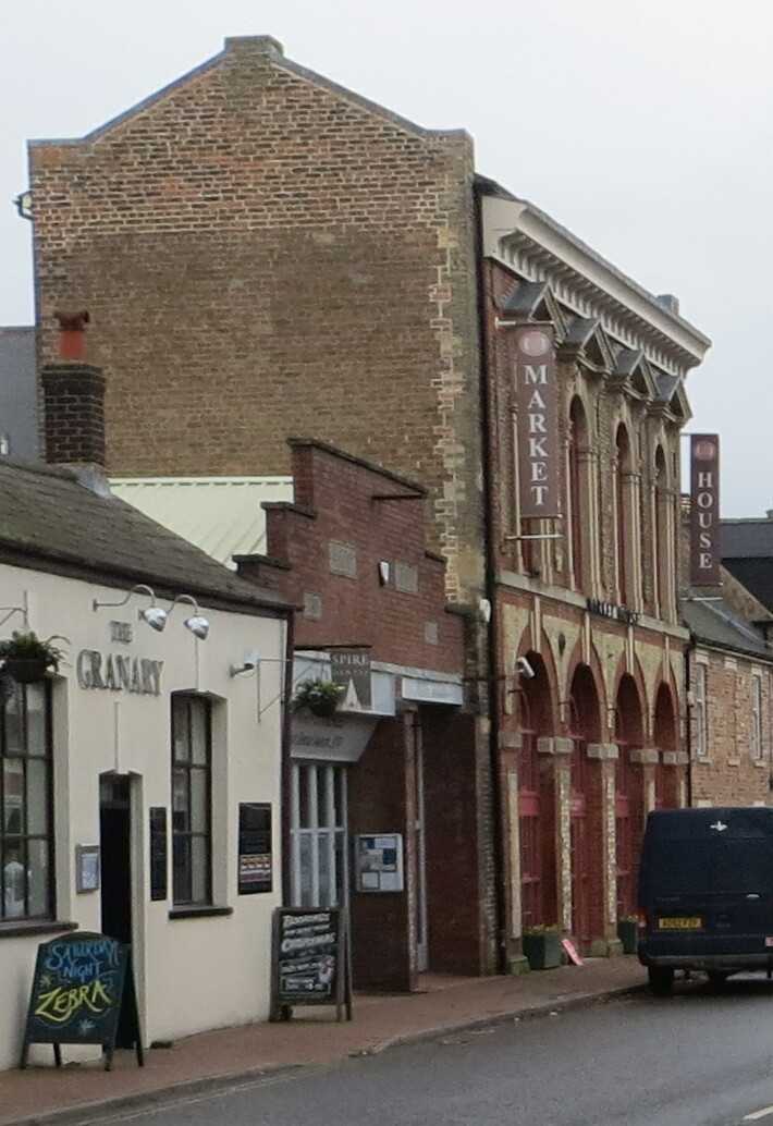
Long Sutton Market House
Long Sutton Market House, also known as Long Sutton Market House and Corn Exchange, is a commercial building in Market Street in Long Sutton, Lincolnshire...
Nearby Amenities
Located within 500m of 52.772386,0.115294Have you been to Long Sutton?
Leave your review of Long Sutton below (or comments, questions and feedback).