Loddon
Civil Parish in Norfolk South Norfolk
England
Loddon
Loddon is a civil parish located in the county of Norfolk, England. Situated on the southern bank of the River Chet, it is part of the South Norfolk district. The village of Loddon serves as the main settlement within the parish.
Loddon is known for its rich history, with evidence of human habitation in the area dating back to the Bronze Age. The village itself has a charming, traditional feel, with a mix of historic buildings and modern amenities. The Holy Trinity Church, a Grade I listed building, is a prominent feature of the village, showcasing stunning architecture from the 15th century.
The parish has a population of approximately 3,500 people, who enjoy the peaceful and picturesque surroundings. The River Chet offers opportunities for boating and fishing, and the surrounding countryside provides ample opportunities for outdoor activities such as walking and cycling.
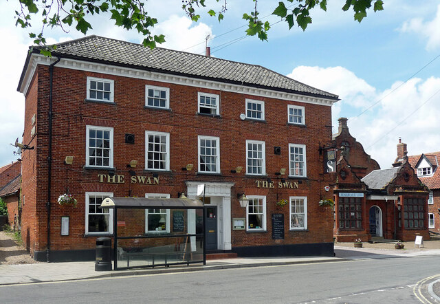
Loddon is well-served by a range of amenities, including shops, pubs, restaurants, and a primary school. The village also has a strong sense of community, with various local clubs and organizations offering activities and events for residents to participate in.
The parish is conveniently located within close proximity to the city of Norwich, which is approximately 12 miles away. This allows residents to easily access a wider range of amenities and services.
Overall, Loddon is a charming and welcoming village, offering a peaceful and idyllic setting for its residents.
If you have any feedback on the listing, please let us know in the comments section below.
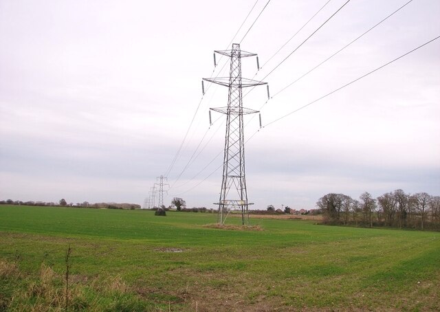
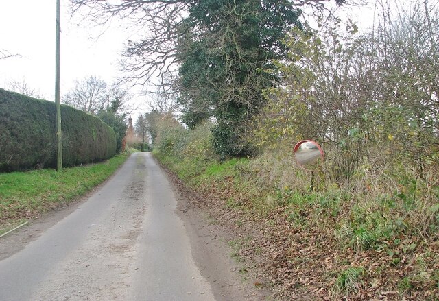
Loddon Images
Images are sourced within 2km of 52.536901/1.477088 or Grid Reference TM3598. Thanks to Geograph Open Source API. All images are credited.


Loddon is located at Grid Ref: TM3598 (Lat: 52.536901, Lng: 1.477088)
Administrative County: Norfolk
District: South Norfolk
Police Authority: Norfolk
What 3 Words
///medium.anguished.sigh. Near Loddon, Norfolk
Nearby Locations
Related Wikis
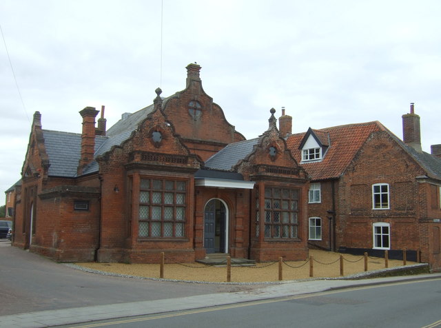
Old Town Hall, Loddon
The Old Town Hall is a former events venue in Bridge Street, Loddon, Norfolk, England. The structure, which is currently occupied for commercial use, is...
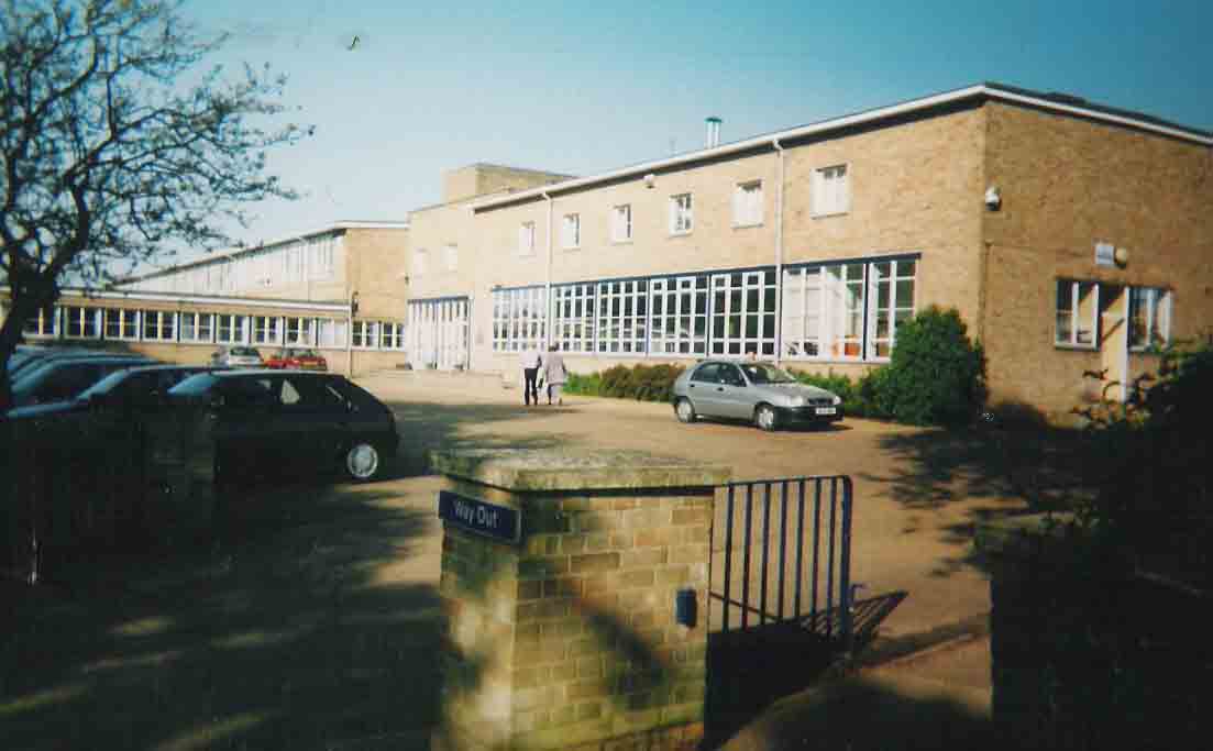
Hobart High School, Norfolk
Hobart High School is a coeducational secondary school with academy status, situated in the village of Loddon, near Norwich in Norfolk, England. It typically...

Loddon, Norfolk
Loddon is a town and civil parish in Norfolk, England, about 12 miles (19 km) south-east of Norwich. The town lies on the River Chet, a tributary of the...
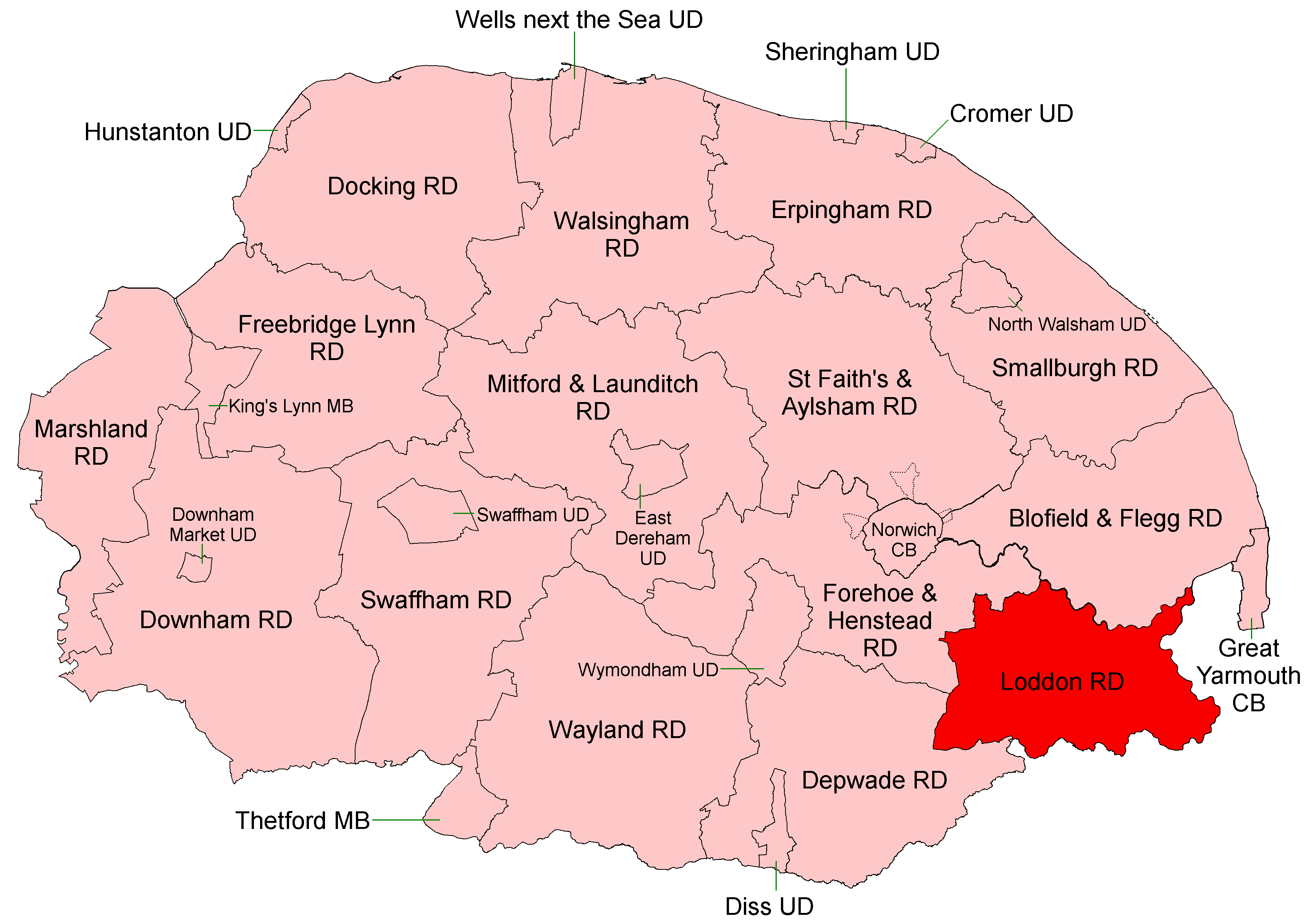
Loddon and Clavering Rural District
Loddon and Clavering Rural District was a rural district in Norfolk, England from 1894 to 1935., continuing, with very slight boundary changes, as Loddon...

A146 road
The A146 is an A road that connects Norwich in Norfolk and Lowestoft in Suffolk, two of East Anglia's largest population centres. It is around 27 miles...

Chedgrave
Chedgrave is a village and civil parish in English county of Norfolk. Chedgrave is separated from nearby Loddon by the River Chet. == History == Chedgrave...
Sisland
Sisland, historically Sislanda, is a very small village, manor and parish in the county of Norfolk, England, about a mile west of Loddon. In the 2001 census...

Langley Hall
Langley Hall is a red-brick building in the Palladian style, formerly a country house but now a private school, located near Loddon, Norfolk, England....
Nearby Amenities
Located within 500m of 52.536901,1.477088Have you been to Loddon?
Leave your review of Loddon below (or comments, questions and feedback).