Little Wilbraham

Civil Parish in Cambridgeshire South Cambridgeshire

England

Little Wilbraham

Through wheat to Fulbourn This path - always well defined - runs from Hawk Mill Farm at Little Wilbraham to Fulbourn (ahead). These fields are near the southern end of the Cambridgeshire Fens and are not so pancake-flat as those further north. Comparable views: <a href="https://www.geograph.org.uk/photo/5499134">TL5357 : Path through beans</a> and <a href="https://www.geograph.org.uk/photo/6462676">TL5357 : Footpath to Fulbourn</a>.
Through wheat to Fulbourn Credit: John Sutton

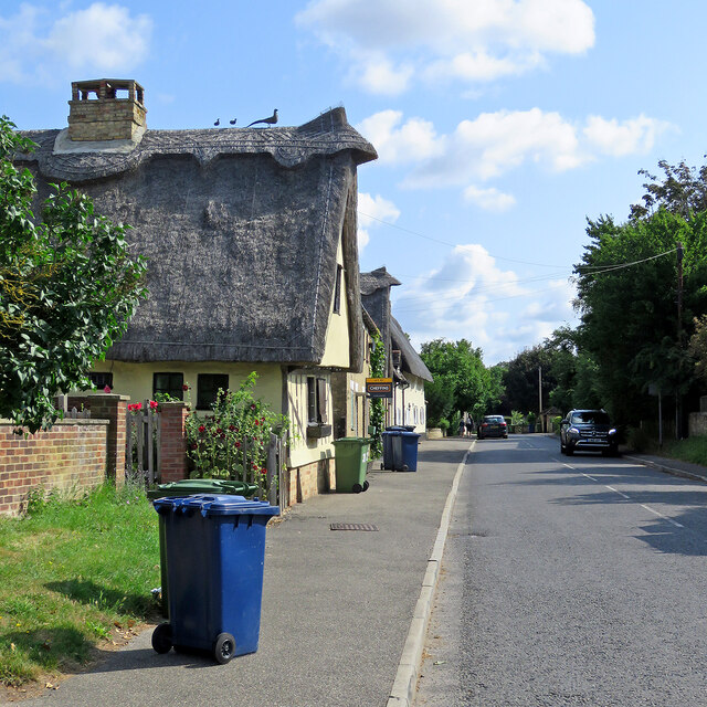
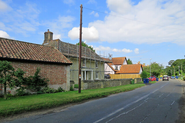
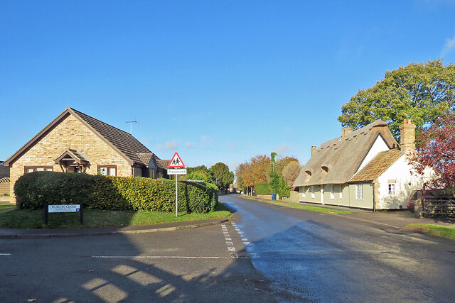
Little Wilbraham is a civil parish located in the county of Cambridgeshire, England. It is situated approximately 9 miles east of the city of Cambridge. The small village is set in a rural area, surrounded by picturesque countryside, and has a population of around 300 residents.

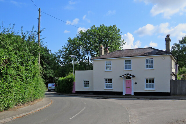
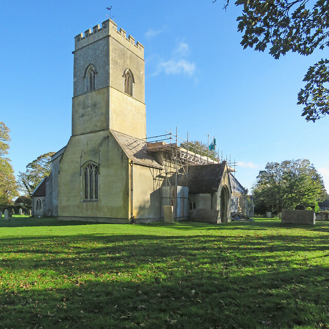
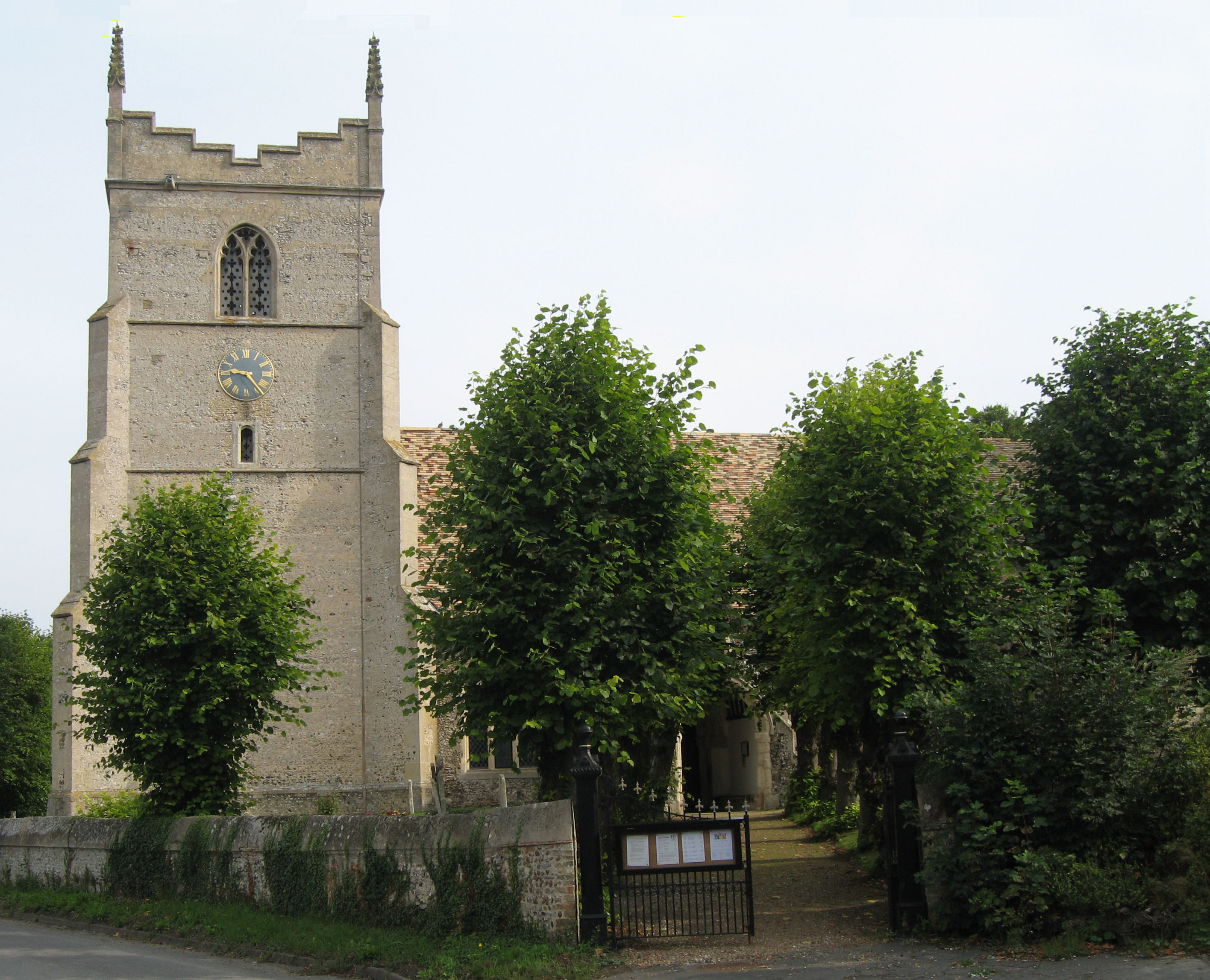
The parish is known for its historic charm, with several listed buildings and a rich history dating back to the Domesday Book of 1086. The centerpiece of the village is the Grade I listed St. John the Evangelist Church, which dates back to the 13th century and features stunning medieval architecture.

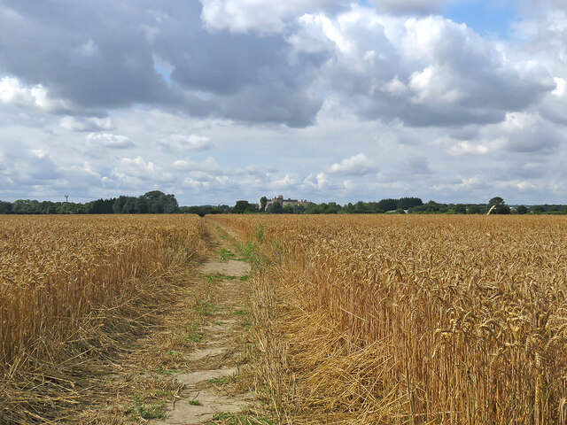
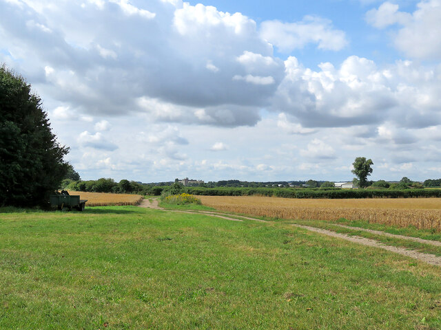
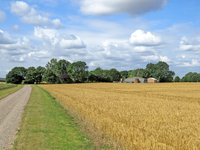
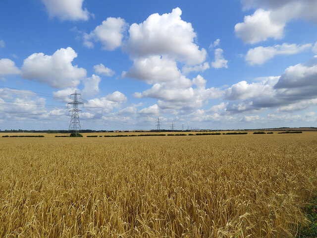
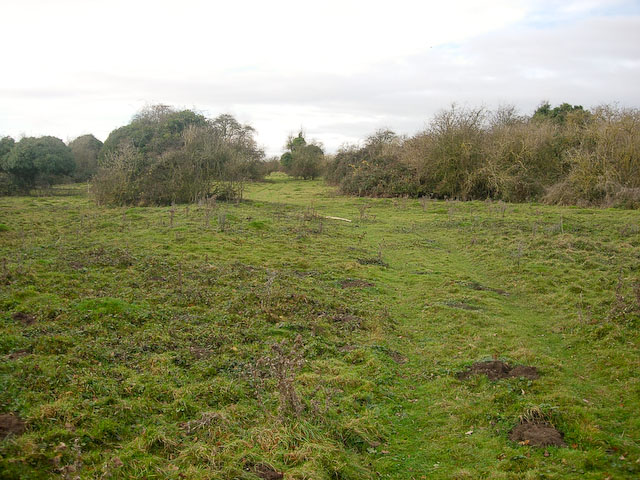
Little Wilbraham is predominantly an agricultural community, with farming being the main occupation for many of its residents. The fertile land surrounding the village is used for arable farming, and the area is known for its production of crops such as wheat, barley, and oilseed rape.

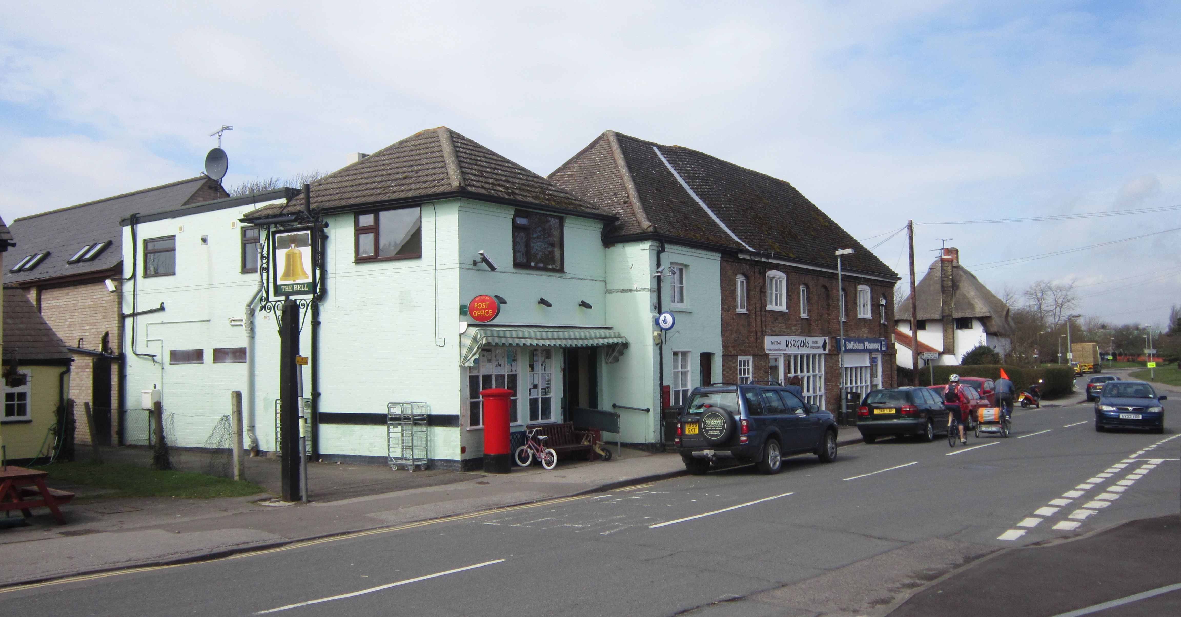
Despite its small size, the village offers a range of amenities for its residents. These include a village hall, a primary school, and a pub, providing a sense of community and a gathering place for locals.

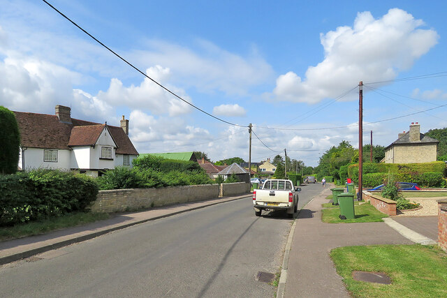
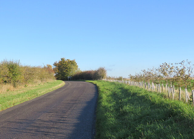
The village is also well-connected to nearby towns and cities. The A1303 road runs through Little Wilbraham, providing easy access to Cambridge and Newmarket. Additionally, the village is served by a regular bus service, enabling residents to travel to nearby destinations.

Overall, Little Wilbraham is a quaint and idyllic village, offering a peaceful and rural lifestyle while still being within close proximity to larger urban areas.

If you have any feedback on the listing, please let us know in the comments section below.

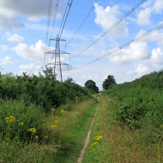
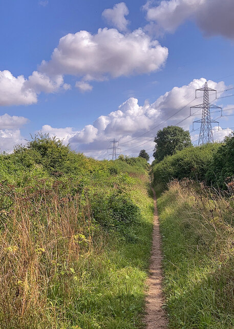
Little Wilbraham Images

Images are sourced within 2km of 52.206095/0.261318 or Grid Reference TL5458. Thanks to Geograph Open Source API. All images are credited.

Through wheat to Fulbourn This path - always well defined - runs from Hawk Mill Farm at Little Wilbraham to Fulbourn (ahead). These fields are near the southern end of the Cambridgeshire Fens and are not so pancake-flat as those further north. Comparable views: <a href="https://www.geograph.org.uk/photo/5499134">TL5357 : Path through beans</a> and <a href="https://www.geograph.org.uk/photo/6462676">TL5357 : Footpath to Fulbourn</a>.
Through wheat to Fulbourn
This path - always well defined - runs from Hawk Mill Farm at Little Wilbraham to Fulbourn (ahead). These fields are near the southern end of the Cambridgeshire Fens and are not so pancake-flat as those further north. Comparable views: TL5357 : Path through beans and TL5357 : Footpath to Fulbourn.
From Hawk Mill Farm to Fulbourn The farm track is shared by the public footpath to Fulbourn, which diverges to the left 150 yards or so ahead. The S&B Herba plant on Station Road in Fulbourn shows on the skyline just to the left of centre.
From Hawk Mill Farm to Fulbourn
The farm track is shared by the public footpath to Fulbourn, which diverges to the left 150 yards or so ahead. The S&B Herba plant on Station Road in Fulbourn shows on the skyline just to the left of centre.
Little Wilbraham: a barley field at Hawk Mill Farm The farm road is shared by a public footpath, which passes through the farmyard. Thereafter, turn left for Fulbourn or right to Quy, both pleasant routes.
Little Wilbraham: a barley field at Hawk Mill Farm
The farm road is shared by a public footpath, which passes through the farmyard. Thereafter, turn left for Fulbourn or right to Quy, both pleasant routes.
Little Wilbraham High Street A sunny early-August morning which was about to cloud over. For a better idea of the Grade II listed 16th-century house on the left, see <a href="https://www.geograph.org.uk/photo/5312748">TL5458 : Little Wilbraham: White Hall</a>. I was taken by the bright green corrugated-iron roof of the outbuildings next door and the post box's vivid splash of red opposite.
Little Wilbraham High Street
A sunny early-August morning which was about to cloud over. For a better idea of the Grade II listed 16th-century house on the left, see TL5458 : Little Wilbraham: White Hall. I was taken by the bright green corrugated-iron roof of the outbuildings next door and the post box's vivid splash of red opposite.
Ripe wheat, big sky, pylons Looking north from the byway from Great Wilbraham to Bottisham or Six Mile Bottom on a bright morning in early August. <a href="https://www.geograph.org.uk/photo/3299980">TL5658 : Power line and snowy fields</a> is a wintry view of the pylons, taken from nearer the road.
Ripe wheat, big sky, pylons
Looking north from the byway from Great Wilbraham to Bottisham or Six Mile Bottom on a bright morning in early August. TL5658 : Power line and snowy fields is a wintry view of the pylons, taken from nearer the road.
Path to Great Wilbraham This track runs from Heath Road (which links Bottisham and Six Mile Bottom) to Great Wilbraham (ahead).
Path to Great Wilbraham
This track runs from Heath Road (which links Bottisham and Six Mile Bottom) to Great Wilbraham (ahead).
Path and pylons This track runs from Great Wilbraham to Heath Road (which links Bottisham and Six Mile Bottom). The picture was taken on a bright morning in early August.
Path and pylons
This track runs from Great Wilbraham to Heath Road (which links Bottisham and Six Mile Bottom). The picture was taken on a bright morning in early August.
Great Wilbraham: a pink front door Clare House, at the corner of High Street, Angle End (left) and Butt Lane (right), has been repainted since I last pointed a camera in this direction, in January 2015: <a href="https://www.geograph.org.uk/photo/4311518">TL5557 : A January morning in Great Wilbraham</a>.
Great Wilbraham: a pink front door
Clare House, at the corner of High Street, Angle End (left) and Butt Lane (right), has been repainted since I last pointed a camera in this direction, in January 2015: TL5557 : A January morning in Great Wilbraham.
Great Wilbraham: recycling bins day Blue (recyclable card, paper, metal, glass and plastic) and green (compostable garden and kitchen waste) bins are waiting to be collected. The timber-framed houses are some of a good number of Grade II listed historic houses in the village.
Great Wilbraham: recycling bins day
Blue (recyclable card, paper, metal, glass and plastic) and green (compostable garden and kitchen waste) bins are waiting to be collected. The timber-framed houses are some of a good number of Grade II listed historic houses in the village.
Great Wilbraham: scaffolding at Rookery Farm The Grade II listed farmhouse is 17th-century in origin, with a front remodelled in the nineteenth. The farm's 17th-century barn (now housing and out of the picture to the left) is also Grade II listed - see <a href="https://www.geograph.org.uk/photo/5720544">TL5457 : Great Wilbraham: a barn conversion</a>.  This is the road to Fulbourn and Cambridge.
Great Wilbraham: scaffolding at Rookery Farm
The Grade II listed farmhouse is 17th-century in origin, with a front remodelled in the nineteenth. The farm's 17th-century barn (now housing and out of the picture to the left) is also Grade II listed - see TL5457 : Great Wilbraham: a barn conversion. This is the road to Fulbourn and Cambridge.
On Little Wilbraham Road in November The long narrow plantation marks the line of part of the main runway of Bottisham Airfield (1940-6), which at first had a grass runway. According to the American Air Museum in Britain website “The P-47 Thunderbolts of the 361st Fighter Group damaged the surfaces of the airfield so much in the first months of flying from Bottisham that American engineers were called in to lay a new runway. In January 1944 they constructed a 1,470-yard-long runway with pierced-steel planking in just three days”.

These images may be of interest: <a href="https://www.geograph.org.uk/photo/5991392">TL5458 : Little Wilbraham: a farm track with a history</a>, <a href="https://www.geograph.org.uk/photo/5610857">TL5460 : Restored buildings at Bottisham Airfield Museum</a> and <a href="https://www.geograph.org.uk/photo/5610851">TL5460 : The Stars and Stripes at Bottisham Airfield Museum</a>.
On Little Wilbraham Road in November
The long narrow plantation marks the line of part of the main runway of Bottisham Airfield (1940-6), which at first had a grass runway. According to the American Air Museum in Britain website “The P-47 Thunderbolts of the 361st Fighter Group damaged the surfaces of the airfield so much in the first months of flying from Bottisham that American engineers were called in to lay a new runway. In January 1944 they constructed a 1,470-yard-long runway with pierced-steel planking in just three days”. These images may be of interest: TL5458 : Little Wilbraham: a farm track with a history, TL5460 : Restored buildings at Bottisham Airfield Museum and TL5460 : The Stars and Stripes at Bottisham Airfield Museum.
Little Wilbraham: on Primrose Farm Road Leaving the village on a sunny November morning.
Little Wilbraham: on Primrose Farm Road
Leaving the village on a sunny November morning.
Little Wilbraham: restoration of the parish church One of the large south windows in the nave - the one next to the porch - is being renewed. Robin Webster's <a href="https://www.geograph.org.uk/photo/5064375">TL5458 : Little Wilbraham church</a> shows the south side clearly.
Little Wilbraham: restoration of the parish church
One of the large south windows in the nave - the one next to the porch - is being renewed. Robin Webster's TL5458 : Little Wilbraham church shows the south side clearly.
Great Wilbraham: St Nicholas's Church and graveyard Photographed from Angle End shortly after ten o'clock on an unexpectedly sunny November morning.
Great Wilbraham: St Nicholas's Church and graveyard
Photographed from Angle End shortly after ten o'clock on an unexpectedly sunny November morning.
Great Wilbraham: St Nicholas through the trees A view from the Recreation Ground, taken on a cloudless November morning. The church is Grade II* listed and pleasingly placed at the north end of the village.
Great Wilbraham: St Nicholas through the trees
A view from the Recreation Ground, taken on a cloudless November morning. The church is Grade II* listed and pleasingly placed at the north end of the village.
Great Wilbraham: across the Recreation Ground Looking towards Angle End on a brilliantly sunny November morning. The roped-off cricket square edges into the right-hand side of the picture.
Great Wilbraham: across the Recreation Ground
Looking towards Angle End on a brilliantly sunny November morning. The roped-off cricket square edges into the right-hand side of the picture.
Great Wilbraham: High Street and Church Close Like most villages in the Cambridgeshire Fens, Great Wilbraham has a mixture of old timber-framed houses and more modern ones.
Great Wilbraham: High Street and Church Close
Like most villages in the Cambridgeshire Fens, Great Wilbraham has a mixture of old timber-framed houses and more modern ones.
Gulls in a fenland field After being disturbed, these gulls had briefly circled (<a href="https://www.geograph.org.uk/photo/7014143">TL5357 : Gulls circling on a November morning</a>) before settling again on this autumn-sown field north of the Fulbourn to Great Wilbraham road. The fields round these two villages are the southernmost in the Cambridgeshire Fens.
Gulls in a fenland field
After being disturbed, these gulls had briefly circled (TL5357 : Gulls circling on a November morning) before settling again on this autumn-sown field north of the Fulbourn to Great Wilbraham road. The fields round these two villages are the southernmost in the Cambridgeshire Fens.
Show me another place!

Little Wilbraham is located at Grid Ref: TL5458 (Lat: 52.206095, Lng: 0.261318)

Administrative County: Cambridgeshire

District: South Cambridgeshire

Police Authority: Cambridgeshire

What 3 Words

///vitamins.eagles.irritated. Near Bottisham, Cambridgeshire

Related Wikis

Little Wilbraham

Little Wilbraham is a village in Cambridgeshire, England, 6 miles (10 km) east of Cambridge between the A1303 and the A11. It is in the district of South...

RAF Bottisham

Royal Air Force Bottisham or more simply RAF Bottisham is a former Royal Air Force station located 5 miles (8 km) east of Cambridge, Cambridgeshire, England...

Great Wilbraham Preceptory

Great Wilbraham Preceptory is a preceptory in Great and Little Wilbraham, Cambridgeshire. Much of the Church of Saint Nicholas at Great Wilbraham dates...

Great Wilbraham

Great Wilbraham is a small village situated in a rural area some seven miles (11 km) to the east of Cambridge, between the edge of an area of low-lying...

Bottisham

Bottisham is a village and civil parish in the East Cambridgeshire district of Cambridgeshire, England, about 6 miles (10 km) east of Cambridge, halfway...

Great Wilbraham Common

Great Wilbraham Common is a 23.5-hectare (58-acre) biological Site of Special Scientific Interest west of Great Wilbraham in Cambridgeshire. It is managed...
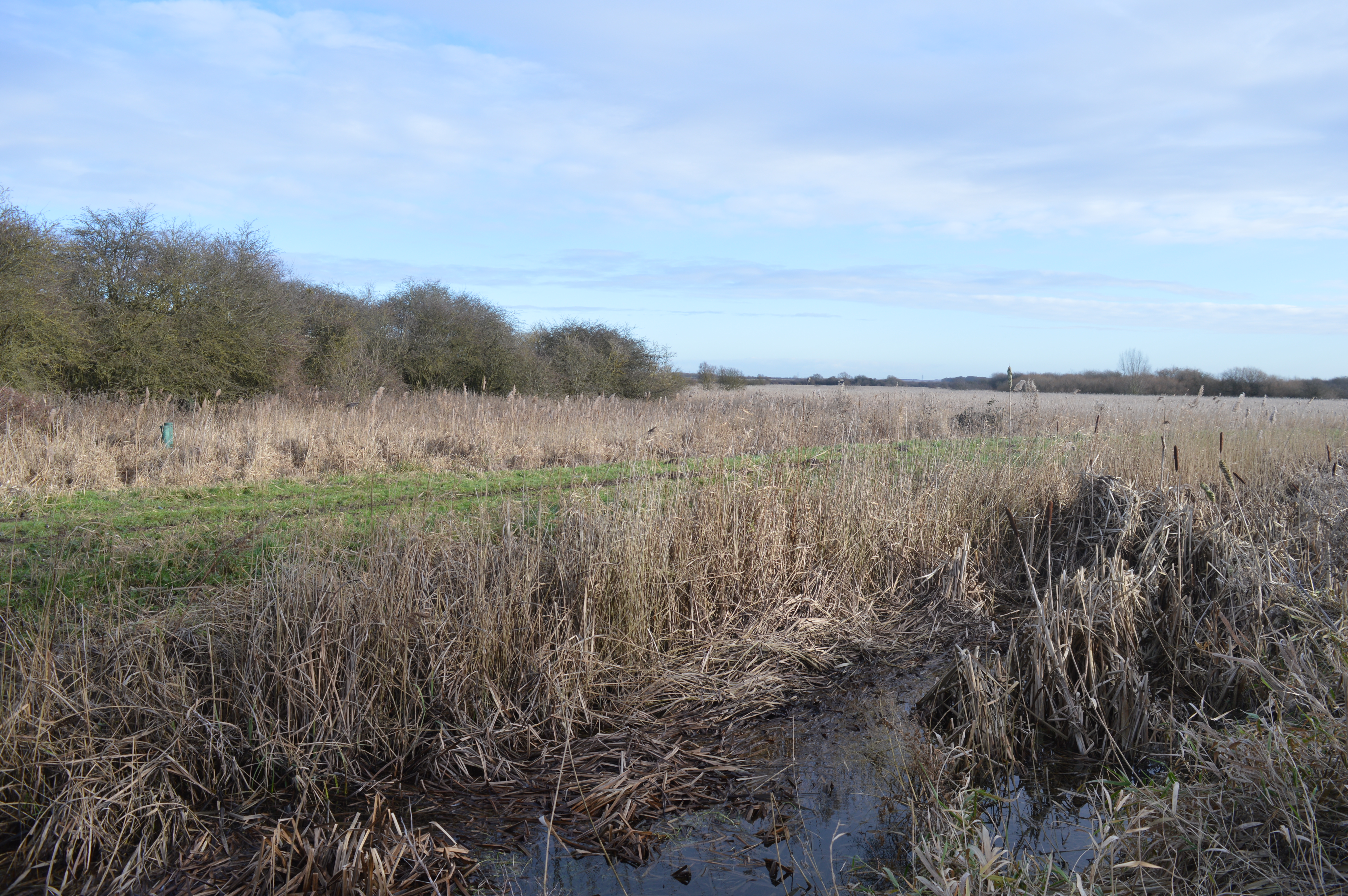
Wilbraham Fens

Wilbraham Fens is a 62.5-hectare (154-acre) biological Site of Special Scientific Interest east of Cambridge.This is an example of a fen habitat, which...

Bottisham Hall

Bottisham Hall is a country house in Bottisham, Cambridgeshire, England. Built in 1797 for the Reverend George Leonard Jenyns to replace the family's previous...

Nearby Amenities

Located within 500m of 52.206095,0.261318
Bus Stop
Rectory Farm Road
Naptan AtcoCode: 0500SLITW003
Naptan Bearing: NW
Naptan CommonName: Rectory Farm Road
Naptan Indicator: opp
Naptan Landmark: Rectory Farm Road
Naptan NaptanCode: cmbgajat
Naptan ShortCommonName: Rectory Farm Road
Naptan Street: Church Road
Naptan Verified: no
Source: naptan_import
Lat/Long: 52.202807/0.261253
Bus Stop
Rectory Farm Road
Naptan AtcoCode: 0500SLITW004
Naptan Bearing: SE
Naptan BusStopType: CUS
Naptan CommonName: Rectory Farm Road
Naptan Indicator: near
Naptan Landmark: Rectory Farm Road
Naptan NaptanCode: cmbgajaw
Naptan Street: Church Road
Naptan Verified: no
Source: naptan_import
Lat/Long: 52.2028494/0.2613869
Bench
Inscription: Reg Poulter
Lat/Long: 52.2053977/0.2607536
Bench
Backrest: yes
Inscription: Marriage of Prince William and Kate Middleton, 2011
Material: wood
Seats: 4
Lat/Long: 52.2033724/0.259681
Waste Basket
Lat/Long: 52.2033754/0.2597718
Power: pole
Lat/Long: 52.2041352/0.2585555
Power: pole
Lat/Long: 52.2045121/0.2597012
Bench
Inscription: Mary Frend
Lat/Long: 52.2040445/0.2601221
Power: pole
Lat/Long: 52.2045047/0.257817
Power: pole
Lat/Long: 52.2037279/0.2574402
Power: pole
Lat/Long: 52.2048803/0.260864
Line Attachment: pin
Line Management: switch
Location Transition: yes
Power: pole
Lat/Long: 52.2046166/0.262999
Power: pole
Lat/Long: 52.2049702/0.2563253
Power: pole
Lat/Long: 52.2048124/0.2571943
Power: pole
Lat/Long: 52.204628/0.2548894
Man Made: street_cabinet
Operator: BT
Street Cabinet: telecom
Lat/Long: 52.2066073/0.2589472
Man Made: street_cabinet
Operator: BT
Street Cabinet: telecom
Lat/Long: 52.2065843/0.2589244
Line Attachment: pin
Material: wood
Power: pole
Lat/Long: 52.2047499/0.2619231
Bench
Backrest: yes
Material: wood
Seats: 2
Lat/Long: 52.2040326/0.2599147
Street Lamp
Ref: L3TIE
Lat/Long: 52.203623/0.2619036
Street Lamp
Lamp Mount: straight_mast
Lamp Type: led
Ref: L1TIE
Lat/Long: 52.2029293/0.2614292
Street Lamp
Ref: L5THW
Lat/Long: 52.2034251/0.2583711
Street Lamp
Ref: L4THW
Lat/Long: 52.2035408/0.2588743
Street Lamp
Refitted: L4TIE
Lat/Long: 52.2040612/0.2620632
Street Lamp
Ref: L1TID
Lat/Long: 52.2037439/0.2568186
Street Lamp
Ref: L2THW
Lat/Long: 52.203093/0.2605471
Street Lamp
Ref: L7THW
Lat/Long: 52.2037493/0.2571292
Street Lamp
Ref: L6THW
Lat/Long: 52.2035017/0.2575208
Street Lamp
Ref: L2TID
Lat/Long: 52.2039765/0.2568441
Street Lamp
Lamp Mount: straight_mast
Lamp Type: led
Ref: L2TIE
Lat/Long: 52.2032463/0.2616032
Street Lamp
Ref: L2THY
Lat/Long: 52.2026893/0.2616222
Street Lamp
Ref: L1THZ
Lat/Long: 52.2033296/0.2567644
Street Lamp
Ref: L5TIE
Lat/Long: 52.2044996/0.2621617
Street Lamp
Lamp Mount: straight_mast
Lamp Type: led
Ref: L1THY
Lat/Long: 52.2026845/0.2619324
Little Wilbraham
Man Made: village_sign
Source: survey
Tourism: artwork
Lat/Long: 52.2036308/0.2570116
Street Lamp
Lat/Long: 52.2032649/0.259753
Man Made: utility_pole
Material: wood
Ref: 1A
Utility: telecom
Lat/Long: 52.2028499/0.2613269
Street Lamp
Lamp Mount: straight_mast
Lat/Long: 52.2028887/0.2610265
Guyed: yes
Height: 7
Man Made: utility_pole
Material: wood
Ref: DP282
Utility: telecom
Lat/Long: 52.2045202/0.2620821
Height: 7
Man Made: utility_pole
Material: wood
Ref: 3
Utility: telecom
Lat/Long: 52.2033368/0.2597904
Height: 6
Man Made: utility_pole
Material: wood
Utility: telecom
Lat/Long: 52.2029667/0.2609474
Man Made: utility_pole
Material: wood
Ref: DP70
Utility: telecom
Lat/Long: 52.2031299/0.2617502
Height: 6
Man Made: utility_pole
Material: wood
Ref: DP69
Utility: telecom
Lat/Long: 52.2027299/0.2617764
Guyed: yes
Height: 6
Man Made: utility_pole
Material: wood
Ref: DP72
Utility: telecom
Lat/Long: 52.204799/0.2627916
Height: 6
Man Made: utility_pole
Material: wood
Ref: 2
Utility: telecom
Lat/Long: 52.2031019/0.2605252
Guyed: yes
Height: 7
Line Attachment: pin
Line Management: switch
Material: wood
Power: pole
Lat/Long: 52.2046223/0.2629484
Height: 6
Man Made: utility_pole
Material: wood
Ref: 1
Utility: telecom
Lat/Long: 52.2040304/0.2620761
Height: 5
Man Made: utility_pole
Material: wood
Ref: DP71
Utility: telecom
Lat/Long: 52.2037679/0.261969
The data included in this document is from www.openstreetmap.org. The data is made available under ODbL.

Have you been to Little Wilbraham?

Leave your review of Little Wilbraham below (or comments, questions and feedback).