Little Sutton
Civil Parish in Lincolnshire South Holland
England
Little Sutton
Little Sutton is a civil parish located in the county of Lincolnshire, England. Situated approximately 8 miles southeast of the city of Lincoln, the parish covers an area of about 8 square miles. The village itself is nestled in the Lincolnshire Wolds, an Area of Outstanding Natural Beauty.
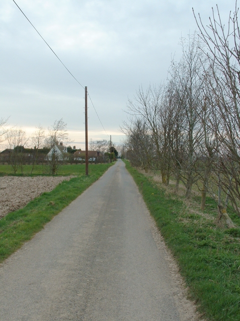
Little Sutton is home to a small population, with the 2011 census reporting a total of 200 residents. The village is characterized by its picturesque countryside setting, with rolling hills, meandering streams, and charming rural landscapes. The area is known for its agricultural heritage, with farming being a significant part of the local economy.
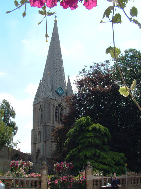
The heart of the village is centered around St. Michael's Church, a Grade II listed building that dates back to the 12th century. The church is a prominent feature in the area, providing a place of worship and a hub for community events.
Despite its small size, Little Sutton offers a range of amenities and services for residents and visitors alike. These include a primary school, a village hall, and a pub, providing a sense of community and social gathering spaces.
The surrounding countryside provides ample opportunities for outdoor activities, such as walking, cycling, and horse riding, with numerous footpaths and bridleways crisscrossing the area. The Lincolnshire Wolds also offer stunning views and a tranquil environment for nature enthusiasts.
Overall, Little Sutton offers a peaceful and idyllic setting, with a close-knit community and easy access to the beautiful Lincolnshire countryside.
If you have any feedback on the listing, please let us know in the comments section below.
Little Sutton Images
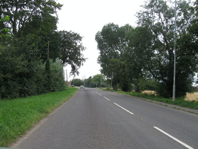
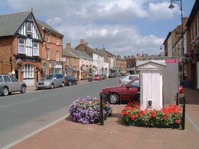
Images are sourced within 2km of 52.770561/0.147317 or Grid Reference TF4421. Thanks to Geograph Open Source API. All images are credited.


Little Sutton is located at Grid Ref: TF4421 (Lat: 52.770561, Lng: 0.147317)
Administrative County: Lincolnshire
District: South Holland
Police Authority: Lincolnshire
What 3 Words
///clotting.hormones.occupiers. Near Sutton Bridge, Lincolnshire
Nearby Locations
Related Wikis

Little Sutton, Lincolnshire
Little Sutton is a small civil parish, containing a few farms and a few houses, lying between the much larger parishes of Long Sutton and Sutton Bridge...

Low Fulney
Low Fulney is a hamlet in the South Holland district of Lincolnshire, England. It is in the Spalding St. Paul's ward of the South Holland District Council...
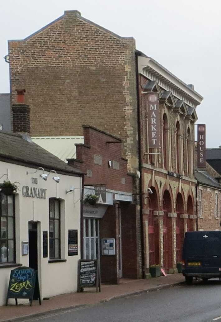
Long Sutton Market House
Long Sutton Market House, also known as Long Sutton Market House and Corn Exchange, is a commercial building in Market Street in Long Sutton, Lincolnshire...

Long Sutton, Lincolnshire
Long Sutton is a market town in the South Holland district of Lincolnshire, England. It lies in The Fens, close to the Wash, 13 miles (21 km) east of Spalding...
Nearby Amenities
Located within 500m of 52.770561,0.147317Have you been to Little Sutton?
Leave your review of Little Sutton below (or comments, questions and feedback).