Little Sampford
Civil Parish in Essex Uttlesford
England
Little Sampford

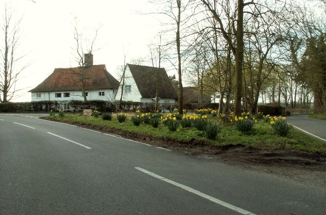
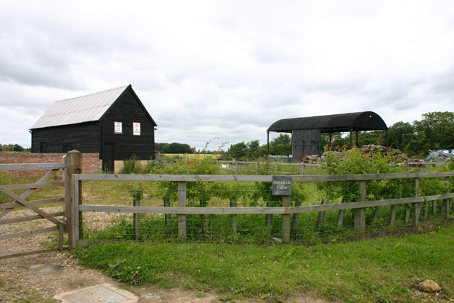
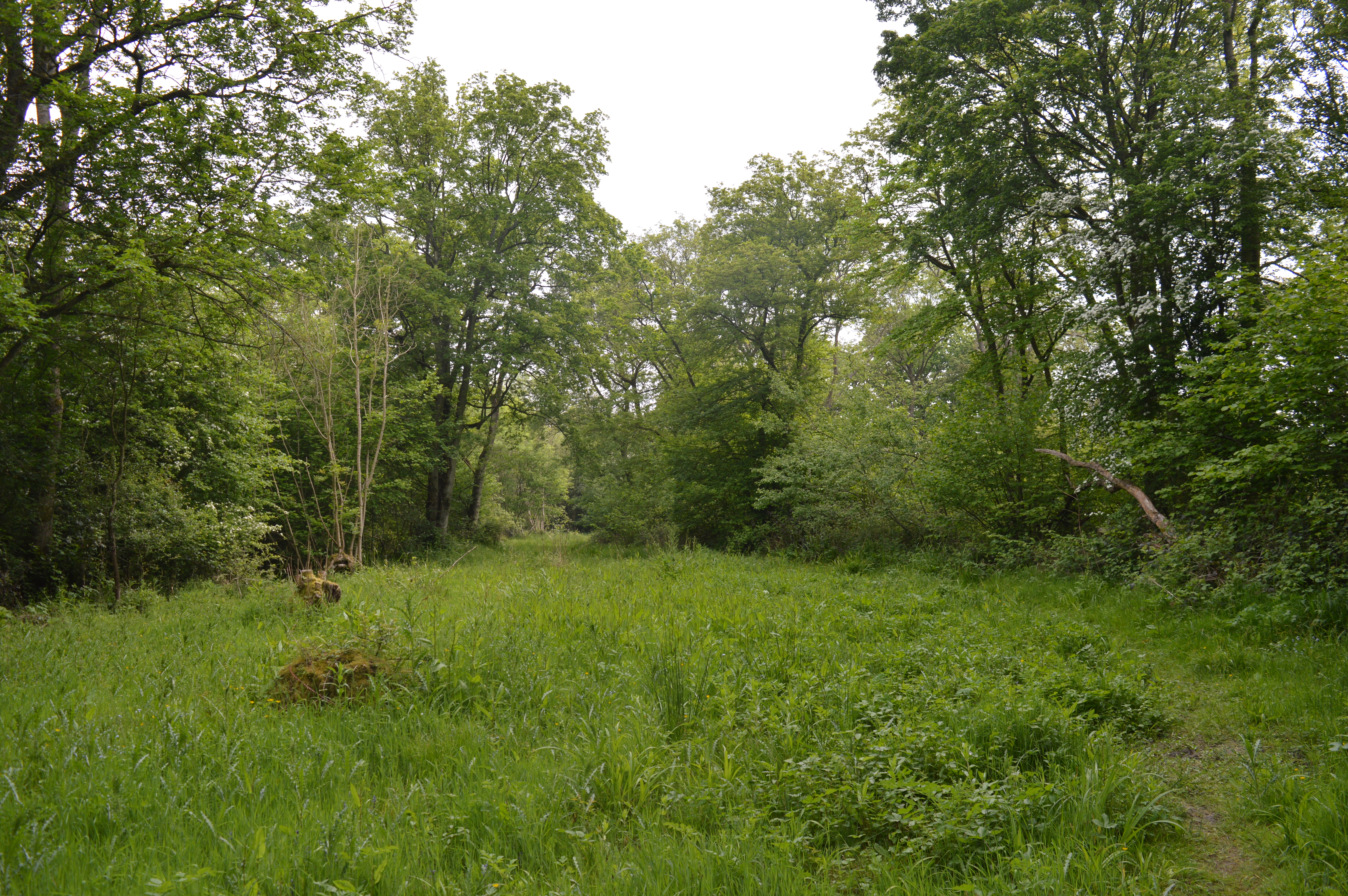
Little Sampford is a small civil parish located in the county of Essex, England. Situated in the Uttlesford district, it is nestled in the beautiful countryside and covers an area of approximately 6.9 square kilometers. The parish is mainly rural and is surrounded by agricultural land, with patches of woodland scattered throughout.
The village itself is charming and picturesque, with a population of around 200 residents. It has a close-knit community feel and offers a tranquil and peaceful way of life. The architecture in Little Sampford is a mix of traditional English cottages and more modern homes, creating a pleasant blend of old and new.
The parish boasts a variety of amenities for its residents. These include a parish church, St. Mary's, which dates back to the 14th century and is known for its beautiful stained glass windows. Additionally, there is a village hall that serves as a hub for community events and gatherings.
Little Sampford is also home to a primary school, providing education to local children. The school is highly regarded for its nurturing environment and high academic standards.
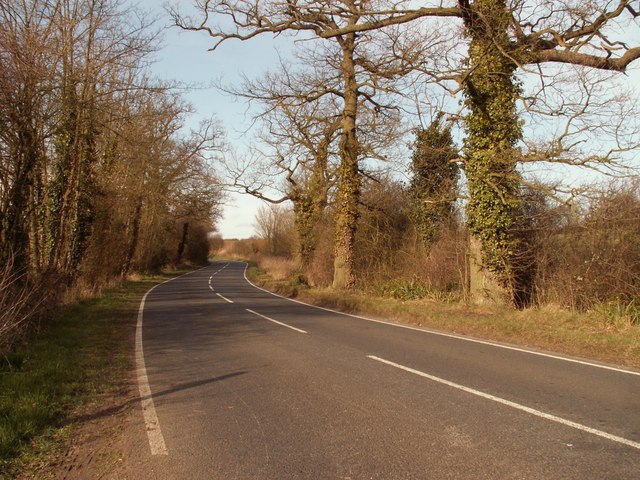
For nature enthusiasts, the parish offers ample opportunities for outdoor activities. The surrounding countryside provides scenic walking and cycling routes, allowing residents to enjoy the natural beauty of the area.
Overall, Little Sampford is a charming and idyllic village, offering a peaceful and close-knit community for its residents. Its picturesque surroundings and range of amenities make it an attractive place to live for those seeking a rural lifestyle.
If you have any feedback on the listing, please let us know in the comments section below.
Little Sampford Images
Images are sourced within 2km of 51.976013/0.38439 or Grid Reference TL6333. Thanks to Geograph Open Source API. All images are credited.


Little Sampford is located at Grid Ref: TL6333 (Lat: 51.976013, Lng: 0.38439)
Administrative County: Essex
District: Uttlesford
Police Authority: Essex
What 3 Words
///pounce.reclusive.case. Near Thaxted, Essex
Nearby Locations
Related Wikis

Great Sampford
Great Sampford is a village and civil parish on the junction of the B1053 and B1051 roads in the Uttlesford district, in the north-west of the English...
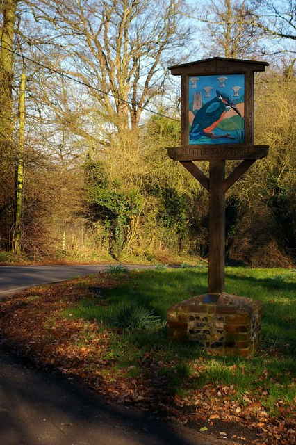
Little Sampford
Little Sampford is a village and a civil parish on the B1053 road, in the Uttlesford district, in the county of Essex, England. The population of the civil...
West Wood, Little Sampford
West Wood is a 23.6 hectares (58 acres) biological Site of Special Scientific Interest in Little Sampford, north of Thaxted in northwestern Essex. It is...

Hawkspur Green
Hawkspur Green is a hamlet in the Uttlesford district, in the county of Essex, England. It is located near the villages of Great Bardfield and Finchingfield...
RAF Great Sampford
Royal Air Force Great Sampford or more simply RAF Great Sampford is a former Royal Air Force satellite station located 1.7 miles (2.7 km) west of Great...

Boyton End, Essex
Boyton End is a hamlet in the Uttlesford district of Essex, England. It is located approximately one mile north-east of Thaxted on the B1051 road.

Little Bardfield
Little Bardfield is a village and civil parish in the Uttlesford district of northwest Essex, England. Little Bardfield is a small scattered village on...

Thaxted
Thaxted is a town and civil parish in the Uttlesford district of north-west Essex, England. The town is in the valley of the River Chelmer, not far from...
Nearby Amenities
Located within 500m of 51.976013,0.38439Have you been to Little Sampford?
Leave your review of Little Sampford below (or comments, questions and feedback).