Little Malvern

Civil Parish in Worcestershire Malvern Hills

England

Little Malvern

Giant's Cave, Hangman's Hill, Malvern Hills
Giant's Cave, Hangman's Hill, Malvern Hills Credit: peter robinson

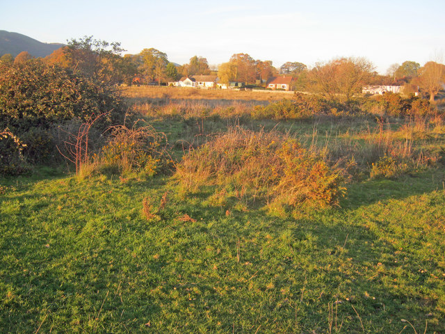
Little Malvern is a picturesque civil parish located in Worcestershire, England. Situated within the Malvern Hills District, this small community offers a tranquil and idyllic setting for residents and visitors alike.

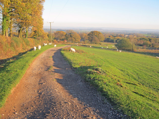
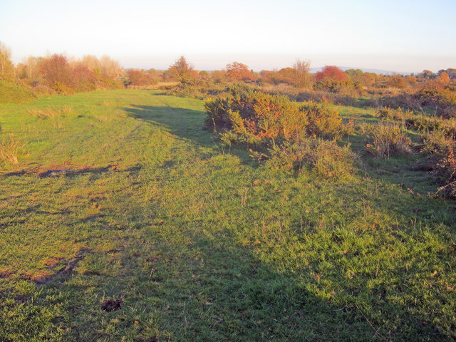
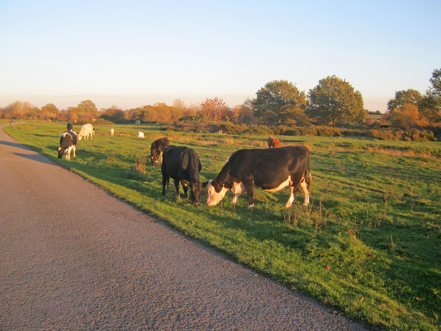
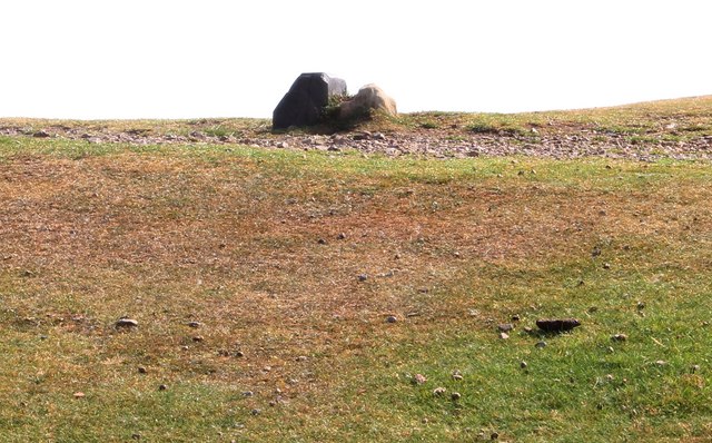
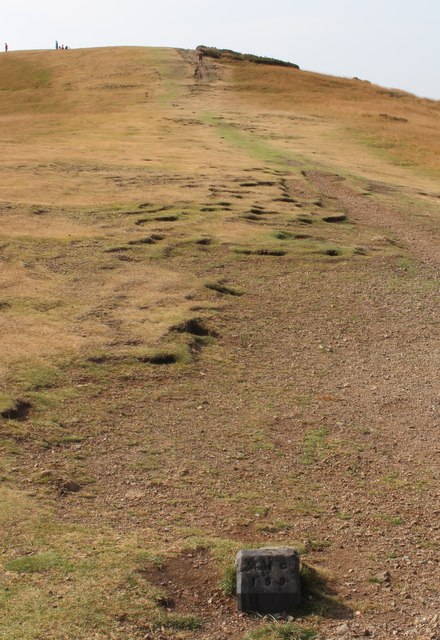
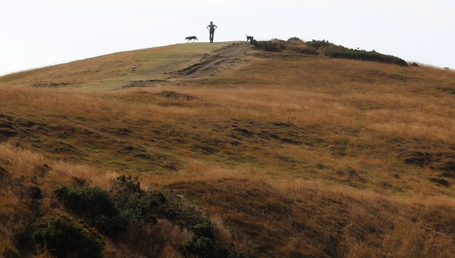
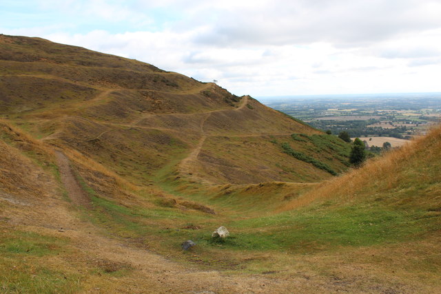
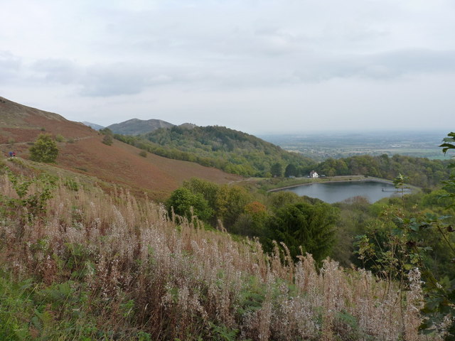
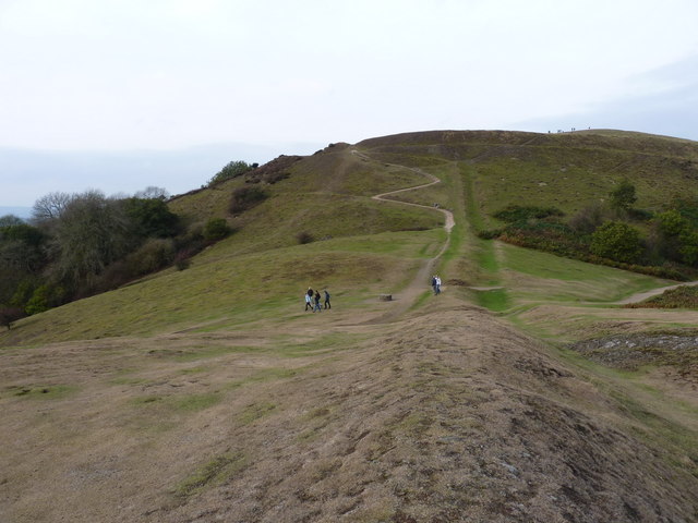
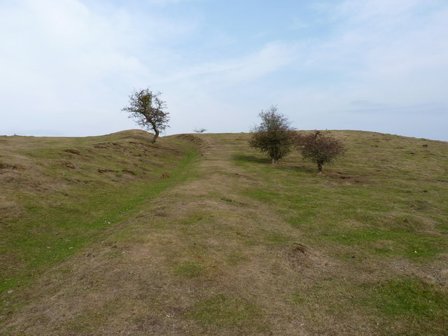
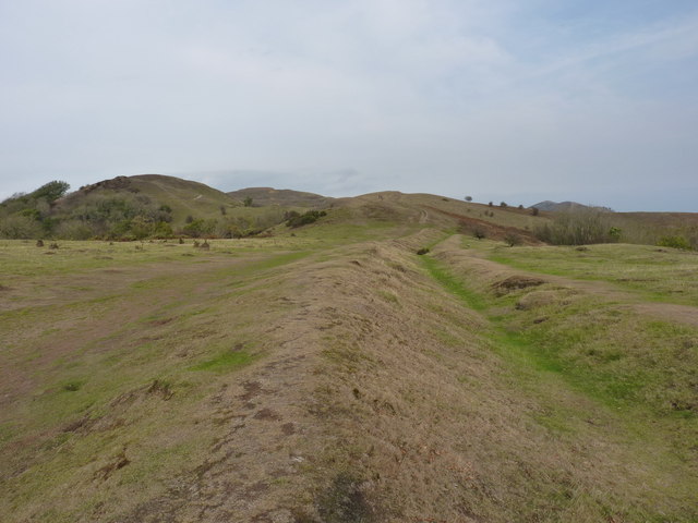
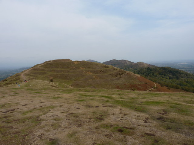
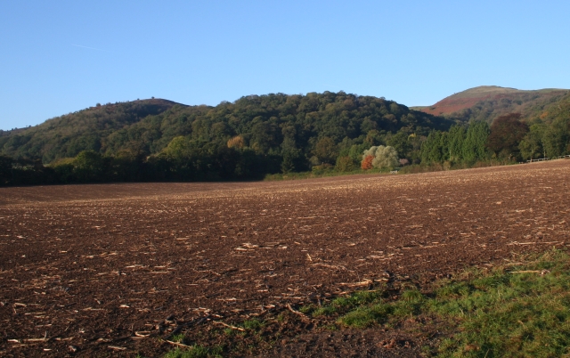
Nestled at the foot of the Malvern Hills, Little Malvern is known for its stunning natural beauty. The area is renowned for its rolling hills, lush green landscapes, and panoramic views. It is a popular destination for outdoor enthusiasts, with ample opportunities for hiking, walking, and enjoying the countryside.

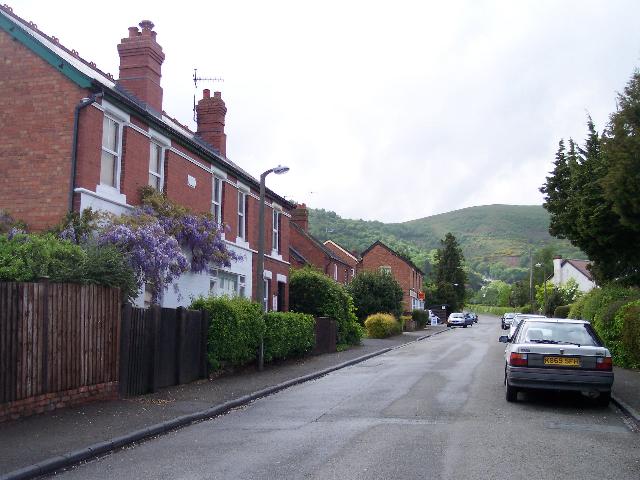
The village itself is small and charming, with a tight-knit community. It is home to a handful of residential properties, including traditional cottages and more modern houses. There is also a local church, Little Malvern Priory, which dates back to the 12th century. This historic building is a notable attraction in the area and showcases beautiful architectural features.

Little Malvern is conveniently located just a short distance from the town of Great Malvern, which offers a wider range of amenities and services. Here, residents can find shops, restaurants, schools, and other facilities. The nearby Malvern Hills provide ample opportunities for outdoor activities, including hiking, cycling, and horse riding.

Overall, Little Malvern offers a peaceful and picturesque place to live or visit, with its stunning natural surroundings and close-knit community. It is a hidden gem in Worcestershire, perfect for those seeking a quiet and scenic retreat.

If you have any feedback on the listing, please let us know in the comments section below.

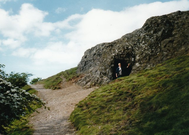
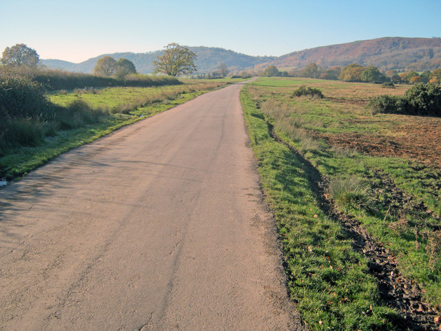
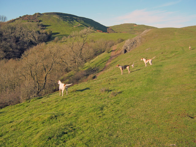
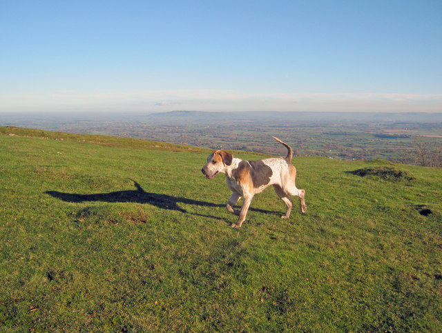
Little Malvern Images

Images are sourced within 2km of 52.058754/-2.335887 or Grid Reference SO7740. Thanks to Geograph Open Source API. All images are credited.

Giant's Cave, Hangman's Hill, Malvern Hills
Lane across Castlemorton Common Long straight lane heading towards Hollybush. Popular route for weekend picnics as it is possible to park on many of the green spaces.
Lane across Castlemorton Common
Long straight lane heading towards Hollybush. Popular route for weekend picnics as it is possible to park on many of the green spaces.
Hounds on Broad Down View north to the Herefordshire Beacon with Clutter's Cave just ahead. The Ledbury Hunt is scouring the Eastnor estate off to the left and these hounds have come up to the hilltop to check things out.
Hounds on Broad Down
View north to the Herefordshire Beacon with Clutter's Cave just ahead. The Ledbury Hunt is scouring the Eastnor estate off to the left and these hounds have come up to the hilltop to check things out.
Hound on Broad Down A member of the Ledbury Hunt pack bounds across the top of the down. Bredon Hill and the Cotswold escarpment in the distance to the east.
Hound on Broad Down
A member of the Ledbury Hunt pack bounds across the top of the down. Bredon Hill and the Cotswold escarpment in the distance to the east.
Track across Castlemorton Common Heading east towards Bowling Green.
Track across Castlemorton Common
Heading east towards Bowling Green.
Scrubland at Castlemorton Common View east with Bredon Hill just visible on the horizon. The evening sun highlights the mixture of rough grazing, gorse and scrub in this more inaccessible part of the common.
Scrubland at Castlemorton Common
View east with Bredon Hill just visible on the horizon. The evening sun highlights the mixture of rough grazing, gorse and scrub in this more inaccessible part of the common.
West side of Castlemorton Common Looking north to the cottages on Hancock's Lane lit up by the evening sun.
West side of Castlemorton Common
Looking north to the cottages on Hancock's Lane lit up by the evening sun.
Cattle grazing near Hancocks Lane Cattle are always to be found somewhere on the common where commoners exercise their grazing rights.
Cattle grazing near Hancocks Lane
Cattle are always to be found somewhere on the common where commoners exercise their grazing rights.
Boundary Stones, British Camp, the Malvern Hills Two boundary markers: the right-hand one being a somewhat sunken stone and the other being a Malvern Hills Conservators' blue brick marker.
They are on the ridge of the Malvern hills in the saddle between Herefordshire Beacon and Millennium Hill. 
The iron-age hill fort known as British camp occupies both hill tops and these markers are close to the western gate to the fort.
Boundary Stones, British Camp, the Malvern Hills
Two boundary markers: the right-hand one being a somewhat sunken stone and the other being a Malvern Hills Conservators' blue brick marker. They are on the ridge of the Malvern hills in the saddle between Herefordshire Beacon and Millennium Hill. The iron-age hill fort known as British camp occupies both hill tops and these markers are close to the western gate to the fort.
Boundary marker, British Camp, Malvern The blue brick marker is bears the inscription MHC 159.
It was placed here by the Malvern Hills Conservators on the ridge of the hills in the saddle between Herefordshire Beacon and Millennium Hill.
The peak of the latter can be seen along the well worn ridge.
Just behind the marker and barely visible in this photo is a much older boundary stone in a somewhat sunken state.
If one looks carefully it is possible to see the levelled hut platforms of the iron-age town on the slopes of the hill side.
Boundary marker, British Camp, Malvern
The blue brick marker is bears the inscription MHC 159. It was placed here by the Malvern Hills Conservators on the ridge of the hills in the saddle between Herefordshire Beacon and Millennium Hill. The peak of the latter can be seen along the well worn ridge. Just behind the marker and barely visible in this photo is a much older boundary stone in a somewhat sunken state. If one looks carefully it is possible to see the levelled hut platforms of the iron-age town on the slopes of the hill side.
Millennium Hill, Malvern Hills The hill is the southern of two peaks included in the iron-age hill fort known as British Camp.
Almost all of the Malvern Hills is under the care of the Malvern Hills Conservators and is open to the public and very popular with dog walkers.
Millennium Hill, Malvern Hills
The hill is the southern of two peaks included in the iron-age hill fort known as British Camp. Almost all of the Malvern Hills is under the care of the Malvern Hills Conservators and is open to the public and very popular with dog walkers.
Wake detection, British Camp reservoir The ducks were almost invisible (to my eyes), but with the sun at the right angle the wake indicates their location.
The reservoir is no longer used as a water supply, but it remains as an iconic reminder of Victorian engineering and it is also a picturesque scene
Wake detection, British Camp reservoir
The ducks were almost invisible (to my eyes), but with the sun at the right angle the wake indicates their location. The reservoir is no longer used as a water supply, but it remains as an iconic reminder of Victorian engineering and it is also a picturesque scene
Boundary Stones, British Camp, the Malvern Hills The county boundary making use of the iron-age defensive ditch. The stone marker is older and the blue brick is a Malvern Hills Conservator marker.
Boundary Stones, British Camp, the Malvern Hills
The county boundary making use of the iron-age defensive ditch. The stone marker is older and the blue brick is a Malvern Hills Conservator marker.
British Camp reservoir from high above
Shire Ditch and the path onto Millennium Hill
Shire Ditch running south on Hangman's Hill
Shire Ditch running north Looking north from the ditch on Hangman's Hill, across Broad Down and up towards Millennium Hill
Shire Ditch running north
Looking north from the ditch on Hangman's Hill, across Broad Down and up towards Millennium Hill
Northwards from the summit of Millennium Hill Towards the earthworks and fort on the Herefordshire Beacon.
Northwards from the summit of Millennium Hill
Towards the earthworks and fort on the Herefordshire Beacon.
Show me another place!

Little Malvern is located at Grid Ref: SO7740 (Lat: 52.058754, Lng: -2.335887)

Administrative County: Worcestershire

District: Malvern Hills

Police Authority: West Mercia

What 3 Words

///voted.shrugging.moguls. Near Great Malvern, Worcestershire

Related Wikis

Little Malvern

Little Malvern is a small village and civil parish in Worcestershire, England. It is situated on the lower slopes of the Malvern Hills, south of Malvern...

Tinkers Hill

Tinkers Hill is situated in the range of Malvern Hills that runs about 13 kilometres (8 mi) north-south along the Herefordshire-Worcestershire border....

St Wulstan's Roman Catholic Church

St Wulstan's Roman Catholic Church, Little Malvern, Worcestershire, England is a Benedictine parish church administered by the monks of Downside Abbey...

Upper Welland

Upper Welland is a small settled area within the civil parish of Malvern Wells, in Worcestershire, England. Lying close to the county boundaries of Herefordshire...

Nearby Amenities

Located within 500m of 52.058754,-2.335887
Little Malvern
Place: village
Wikidata: Q576836
Wikipedia: en:Little Malvern
Lat/Long: 52.0619167/-2.3367585
Bus Stop
Little Malvern Priory
Bus: yes
Naptan AtcoCode: 2000G043900
Naptan Bearing: SE
Naptan BusStopType: CUS
Naptan CommonName: Little Malvern Priory
Naptan Indicator: opp
Naptan Landmark: Little Malvern Priory
Naptan NaptanCode: wocgjdjd
Naptan Street: A4104
Naptan Verified: no
Public Transport: platform
Source: naptan_import
Lat/Long: 52.062118/-2.3371741
Bus Stop
Little Malvern Priory
Bus: yes
Naptan AtcoCode: 2000G323402
Naptan Bearing: NW
Naptan BusStopType: CUS
Naptan CommonName: Little Malvern Priory
Naptan Indicator: adj
Naptan Landmark: Little Malvern Priory
Naptan NaptanCode: wocdmdta
Naptan Street: A4104
Naptan Verified: no
Public Transport: platform
Source: naptan_import
Lat/Long: 52.0620733/-2.3372638
Barrier: stile
Foot: yes
Lat/Long: 52.0596259/-2.3325677
Barrier: stile
Lat/Long: 52.0618976/-2.335869
Power: pole
Lat/Long: 52.0560229/-2.3357886
Power: pole
Lat/Long: 52.0570296/-2.3341657
Power: pole
Lat/Long: 52.0580627/-2.3324853
Power: pole
Lat/Long: 52.0591057/-2.3314562
Power: pole
Lat/Long: 52.0602114/-2.3303574
Barrier: stile
Foot: yes
Lat/Long: 52.0581574/-2.3293912
Generator Method: photovoltaic
Generator Output Electricity: yes
Generator Source: solar
Generator Type: solar_photovoltaic_panel
Location: roof
Power: generator
Lat/Long: 52.0619051/-2.3373762
Generator Method: photovoltaic
Generator Output Electricity: yes
Generator Source: solar
Generator Type: solar_photovoltaic_panel
Location: roof
Power: generator
Lat/Long: 52.0618803/-2.3373185
Power: pole
Transformer: distribution
Lat/Long: 52.0632259/-2.3362362
The Grange
Power: pole
Transformer: distribution
Voltage Primary: 11000
Lat/Long: 52.0598157/-2.329121
Power: pole
Lat/Long: 52.059034/-2.3290017
Power: pole
Lat/Long: 52.0582341/-2.3288863
Tinkers Hill
Power: pole
Transformer: distribution
Voltage Primary: 11000
Lat/Long: 52.0553826/-2.3370449
Power: pole
Lat/Long: 52.0553744/-2.3357796
Power: pole
Lat/Long: 52.0553694/-2.3345833
Power: pole
Lat/Long: 52.0553587/-2.3328808
Power: pole
Lat/Long: 52.0553488/-2.3311628
Tinker's Hill
Alt Name: Tinkers' Hill
Ele: 213
Natural: peak
Wikidata: Q7808348
Lat/Long: 52.057788/-2.3428345
The data included in this document is from www.openstreetmap.org. The data is made available under ODbL.

Have you been to Little Malvern?

Leave your review of Little Malvern below (or comments, questions and feedback).