Little Hoole

Civil Parish in Lancashire South Ribble

England

Little Hoole

Liverpool Road at Walmer Bridge boundary
Liverpool Road at Walmer Bridge boundary Credit: Colin Pyle

Little Hoole is a civil parish located in the county of Lancashire, England. It is situated in the South Ribble district and is part of the larger ecclesiastical parish of Hoole. The village is nestled in the picturesque countryside, surrounded by lush green fields and farmland.

Little Hoole has a rich history that dates back centuries. It has been mentioned in the Domesday Book of 1086 and was once a thriving agricultural community. Today, it retains its rural charm and is known for its peaceful and tranquil atmosphere.

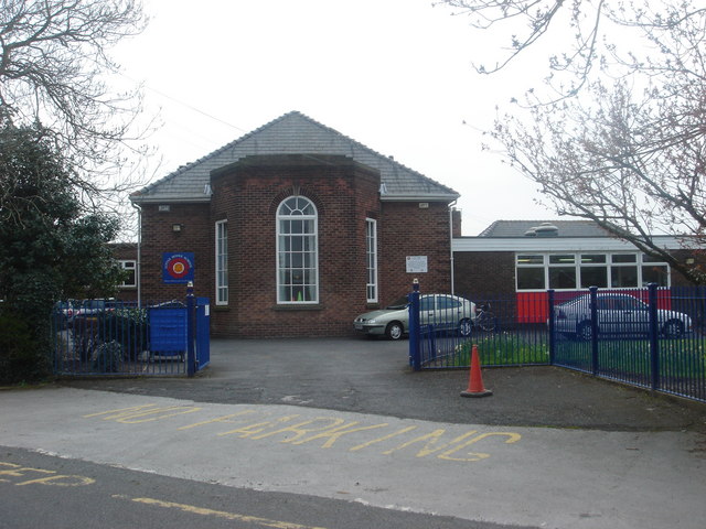
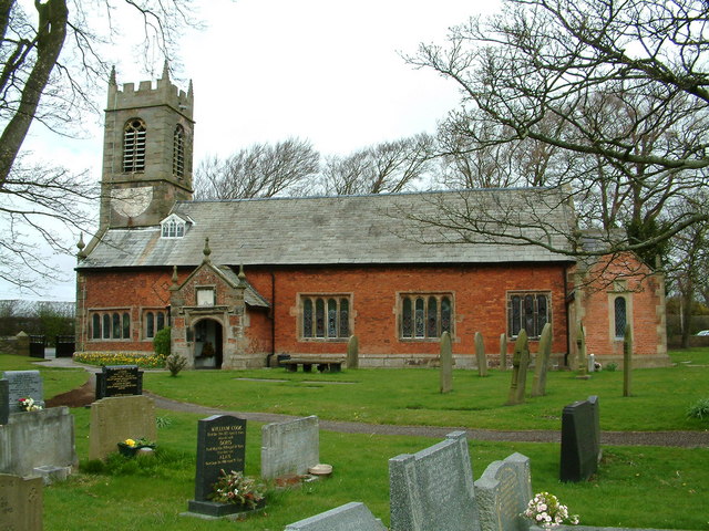
The village itself is small, with a population of just over 500 residents. It consists of a few scattered houses, a local pub, a church, and a primary school. The community is tight-knit, with a strong sense of community spirit.

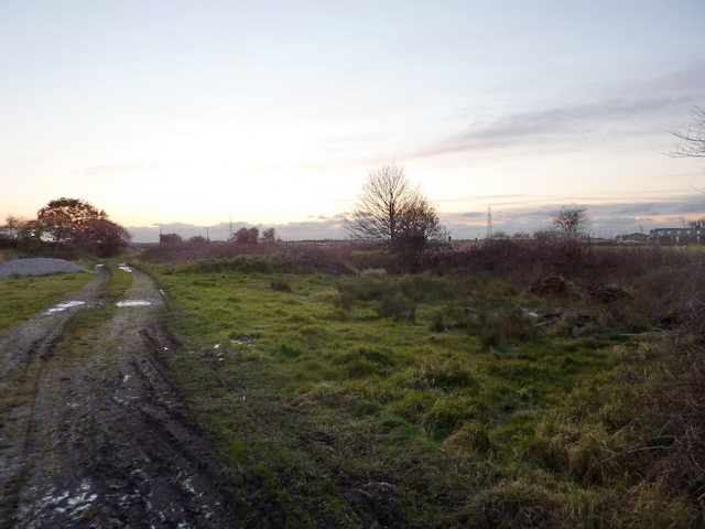
The surrounding countryside offers plenty of opportunities for outdoor activities and exploration. There are several walking and cycling routes that wind through the beautiful landscape, allowing residents and visitors to enjoy the natural beauty of the area.

Despite its small size, Little Hoole is well-connected to the larger towns and cities in the region. It is located just a short drive away from the bustling market town of Leyland, which offers a range of amenities and services.

Overall, Little Hoole is a charming and idyllic village that offers a peaceful escape from the hustle and bustle of city life. Its rich history, beautiful countryside, and close-knit community make it a desirable place to live or visit.

If you have any feedback on the listing, please let us know in the comments section below.

Little Hoole Images

Images are sourced within 2km of 53.709382/-2.789707 or Grid Reference SD4723. Thanks to Geograph Open Source API. All images are credited.

Liverpool Road at Walmer Bridge boundary
Station Road looking west
Remains of level crossing on Station Road
Liverpool Road at Walmer Bridge boundary
Hall Carr Lane
Hall Carr Lane
Marsh Lane looking east
Liverpool Road, Longton
A59 nears Gill Lane roundabout
Methodist Burial Ground, Much Hoole
Inside Methodist Burial Ground, Much Hoole
Liverpool Old Road, Much Hoole
Boundary stone between Little Hoole and Much Hoole
Much Hoole Woodland Burial Ground This a privately owned burial ground and the only one in the country that is consecrated   <span class="nowrap"><a title="http://www.muchhoolewoodlandburialground.co.uk" rel="nofollow ugc noopener" href="http://www.muchhoolewoodlandburialground.co.uk">Link</a><img style="margin-left:2px;" alt="External link" title="External link - shift click to open in new window" src="https://s1.geograph.org.uk/img/external.png" width="10" height="10"/></span>
Much Hoole Woodland Burial Ground
This a privately owned burial ground and the only one in the country that is consecrated LinkExternal link
Entrance to the Woodland Burial Ground This a privately owned burial ground and the only one in the country that is consecrated   <span class="nowrap"><a title="http://www.muchhoolewoodlandburialground.co.uk" rel="nofollow ugc noopener" href="http://www.muchhoolewoodlandburialground.co.uk">Link</a><img style="margin-left:2px;" alt="External link" title="External link - shift click to open in new window" src="https://s1.geograph.org.uk/img/external.png" width="10" height="10"/></span>
Entrance to the Woodland Burial Ground
This a privately owned burial ground and the only one in the country that is consecrated LinkExternal link
Much Hoole, Woodland Burial Ground This a privately owned burial ground and the only one in the country that is consecrated   <span class="nowrap"><a title="http://www.muchhoolewoodlandburialground.co.uk" rel="nofollow ugc noopener" href="http://www.muchhoolewoodlandburialground.co.uk">Link</a><img style="margin-left:2px;" alt="External link" title="External link - shift click to open in new window" src="https://s1.geograph.org.uk/img/external.png" width="10" height="10"/></span>
Much Hoole, Woodland Burial Ground
This a privately owned burial ground and the only one in the country that is consecrated LinkExternal link
Much Hoole Methodist Church
The  footpath  is  the  other  side The footpath to Longton is the other side of the ditch, it comes in from the right then straight ahead through the gate up to Longton. The field drainage is being updated so a slight detour, taken from the grounds of Willow Cottage our B & B for the night. Longton is the start of the Ribble Way
The footpath is the other side
The footpath to Longton is the other side of the ditch, it comes in from the right then straight ahead through the gate up to Longton. The field drainage is being updated so a slight detour, taken from the grounds of Willow Cottage our B & B for the night. Longton is the start of the Ribble Way
Willow  Cottage  Longton Our very nice B & B for the night when we started to walk the Ribble Way
Willow Cottage Longton
Our very nice B & B for the night when we started to walk the Ribble Way
Show me another place!

Little Hoole is located at Grid Ref: SD4723 (Lat: 53.709382, Lng: -2.789707)

Administrative County: Lancashire

District: South Ribble

Police Authority: Lancashire

What 3 Words

///closed.noises.town. Near Tarleton, Lancashire

Related Wikis

Walmer Bridge

Walmer Bridge is a small village in Lancashire, England. Surrounding villages are Much Hoole and Longton. == History == Walmer Bridge is first recorded...

Little Hoole

Little Hoole is a civil parish in Lancashire, England, It contains the village of Walmer Bridge, and the remaining part is predominantly a farming community...

Much Hoole

Much Hoole is a village and civil parish in the borough of South Ribble, Lancashire, England. The parish of Much Hoole had a population of 1,851 at the...

Hoole railway station

Hoole railway station was on the West Lancashire Railway in England. It was in the civil parish of Little Hoole about a mile from the village of Much Hoole...

Nearby Amenities

Located within 500m of 53.709382,-2.789707
Walmer Bridge
Place: village
Source: npe
Lat/Long: 53.7122495/-2.7893424
School
Little Hoole Primary School
Source: OS OpenData StreetView
Lat/Long: 53.7102465/-2.7869339
Fuel
Suthers Star Garage
Operator: Esso
Lat/Long: 53.7095443/-2.7926583
Walmer grove Farm Shop
Shop: butcher
Lat/Long: 53.7126236/-2.7898674
Cafe
Tootsies Ice Cream
Addr City: Preston
Addr Country: GB
Addr Parentstreet: Liverpool Road
Addr Postcode: PR4 5JT
Addr Street: Bridge Court
Addr Unit: 10
Cuisine: coffee_shop
Fhrs Id: 159174
Source: Bing
Lat/Long: 53.7071095/-2.7956158
Noexit: yes
Lat/Long: 53.7095473/-2.7857852
Bench
Lat/Long: 53.7068904/-2.7942737
Restaurant
The Lounge Bar and Restaurant
Addr City: Preston
Addr Housenumber: 9
Addr Place: Bridge Court
Addr Postcode: PR4 5JT
Addr Suburb: Little Hoole
Lat/Long: 53.7070892/-2.7958352
Spar
Addr City: Preston
Addr Country: GB
Addr Hamlet: Walmer Bridge
Addr Housenumber: 108
Addr Postcode: PR4 5GE
Addr Street: Liverpool Old Road
Brand: Spar
Brand Wikidata: Q610492
Brand Wikipedia: en:Spar (retailer)
Fhrs Id: 77305
Opening Hours: Mo-Su 06:30-22:00
Phone: +44 1772613198
Shop: convenience
Website: https://www.spar.co.uk/store-locator/hal11017-spar-walmer-bridge/
Lat/Long: 53.7104214/-2.791103
Turning Circle
Lat/Long: 53.7116963/-2.7915721
Noexit: yes
Lat/Long: 53.7106236/-2.7848458
Crossing
Crossing Island: yes
Lat/Long: 53.7123529/-2.7848632
The data included in this document is from www.openstreetmap.org. The data is made available under ODbL.

Have you been to Little Hoole?

Leave your review of Little Hoole below (or comments, questions and feedback).