Little Chesterford
Civil Parish in Essex Uttlesford
England
Little Chesterford
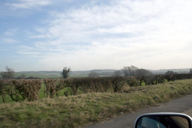
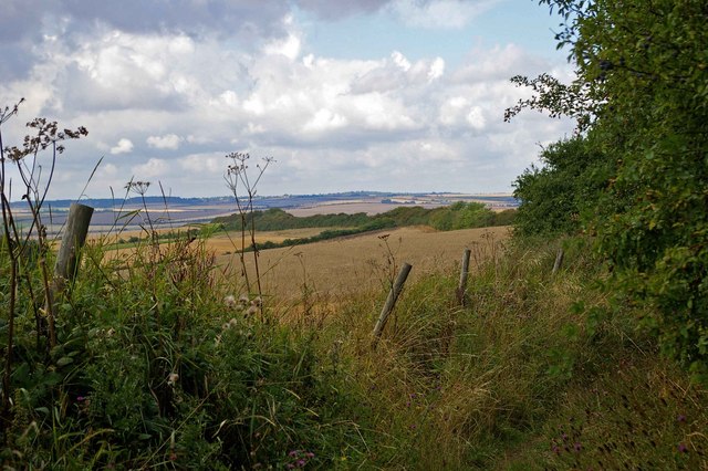
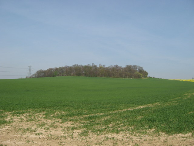
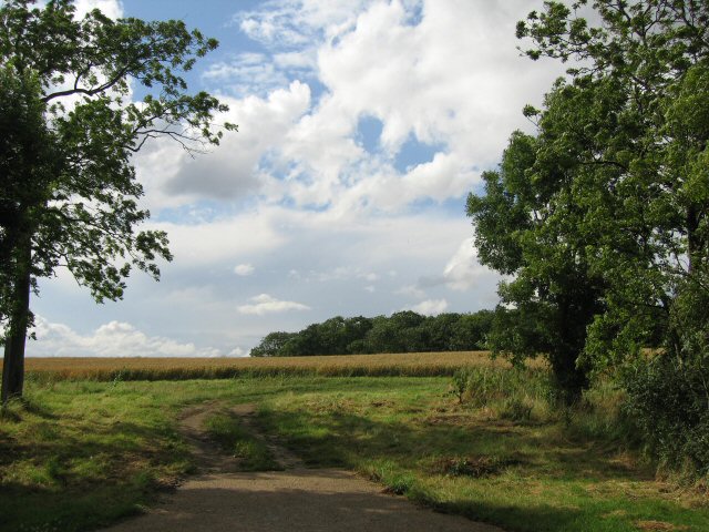
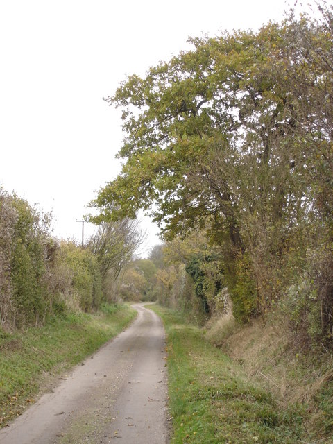
Little Chesterford is a small civil parish located in the county of Essex, England. Situated approximately 45 miles north of London, it lies within the Uttlesford district. The village is nestled in the picturesque Cambridgeshire countryside, surrounded by rolling hills and fields.
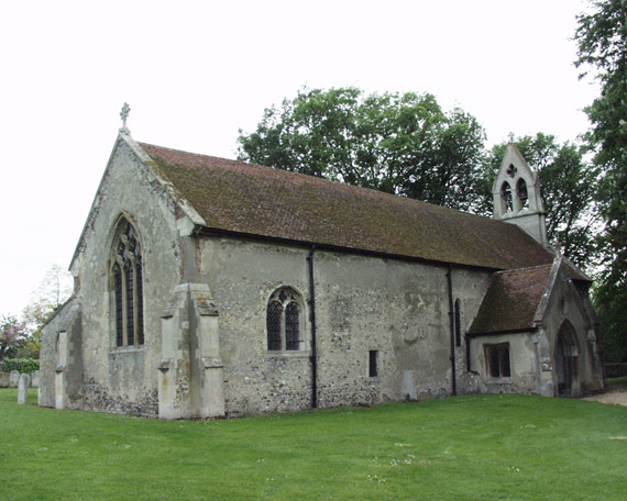
With a population of around 500 residents, Little Chesterford exudes a quaint and peaceful atmosphere. The parish is characterized by its charming traditional English cottages, many of which date back several centuries. The village is centered around a beautiful medieval church, St. Mary's, which stands as a testament to the area's rich history.
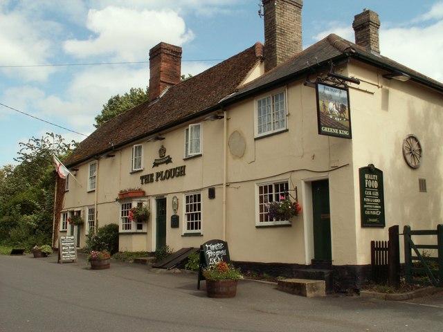
The parish benefits from a close-knit community, with a range of local amenities and services. These include a primary school, village hall, and a well-stocked village shop. The nearby market town of Saffron Walden, just a short drive away, provides additional conveniences such as supermarkets, restaurants, and leisure facilities.
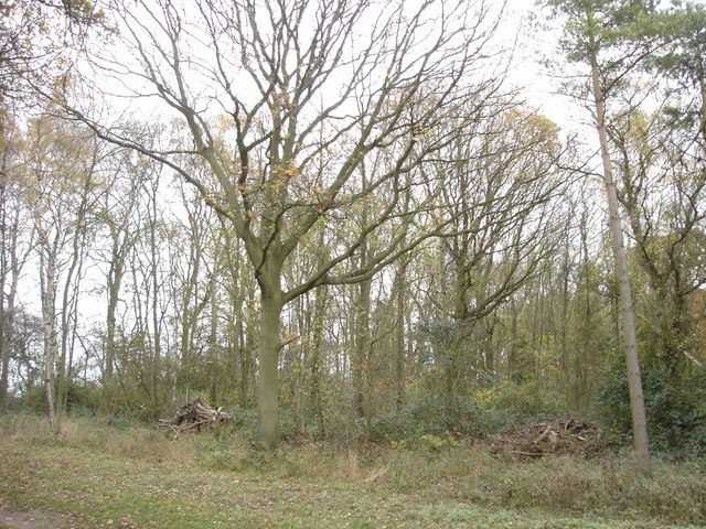
Nature enthusiasts are drawn to Little Chesterford's idyllic surroundings, which offer ample opportunities for outdoor activities. The village is located near the River Cam, making it popular for boating and fishing. There are also several nature reserves and parks in the vicinity, allowing residents to explore and appreciate the local flora and fauna.
Little Chesterford's location provides excellent transport links, with easy access to major roads and rail connections. The M11 motorway is just a few miles away, providing convenient access to London and other nearby cities. The village also benefits from a nearby train station, Audley End, which offers regular services to London Liverpool Street and Cambridge.
Overall, Little Chesterford is a charming and tranquil village, offering a peaceful countryside lifestyle while still being within reach of urban amenities and excellent transport connections.
If you have any feedback on the listing, please let us know in the comments section below.
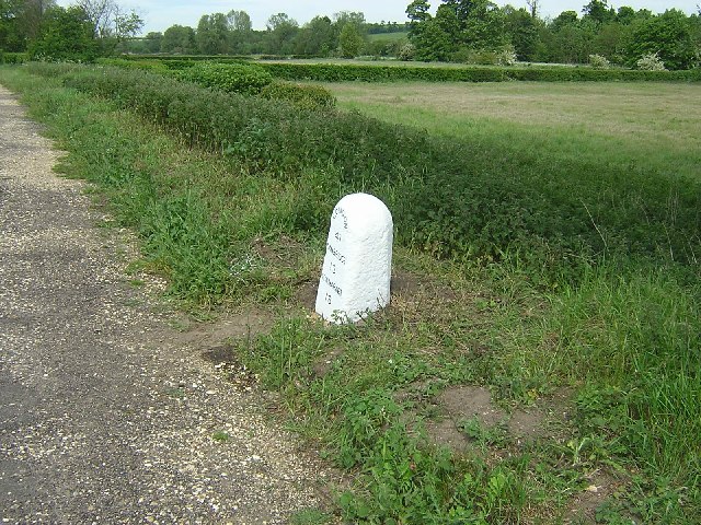
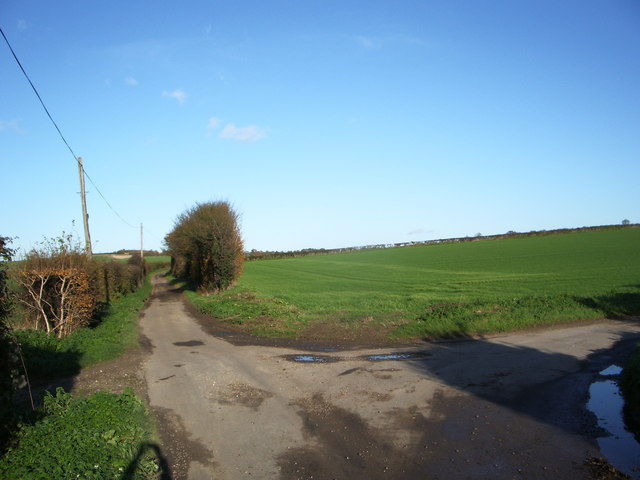
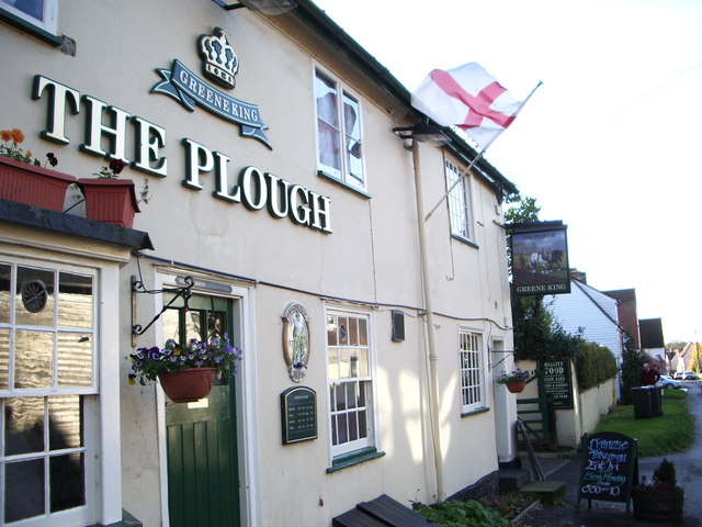
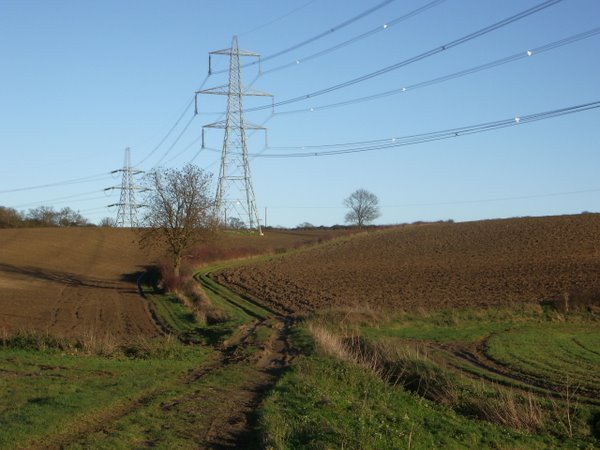
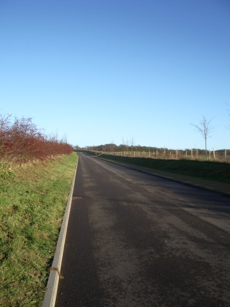
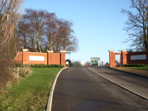
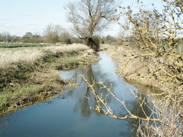
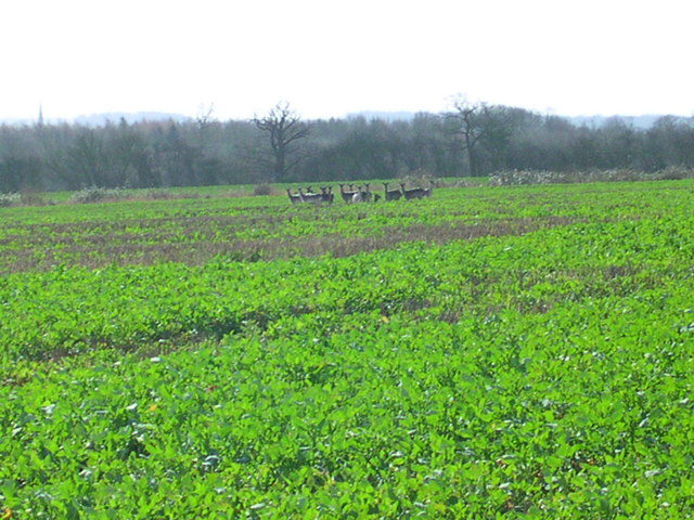
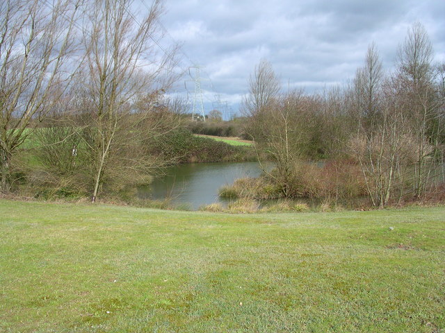
Little Chesterford Images
Images are sourced within 2km of 52.054858/0.222703 or Grid Reference TL5241. Thanks to Geograph Open Source API. All images are credited.

Little Chesterford is located at Grid Ref: TL5241 (Lat: 52.054858, Lng: 0.222703)
Administrative County: Essex
District: Uttlesford
Police Authority: Essex
What 3 Words
///rich.monkey.housework. Near Great Chesterford, Essex
Nearby Locations
Related Wikis

Little Chesterford
Little Chesterford is a small village and civil parish in Uttlesford, Essex, in the East of England. Close to the Cambridgeshire border, it is built principally...

Great Chesterford
Great Chesterford is a village and civil parish in the Uttlesford district of Essex, England. The village is 13 miles (20 km) north from Bishop's Stortford...

Great Chesterford railway station
Great Chesterford railway station is on the West Anglia Main Line serving the village of Great Chesterford in Essex, England. It is 45 miles 56 chains...

Little Walden
Little Walden is a small settlement in the Uttlesford district, in the English county of Essex. It lies about 3 miles (5 km) north of the market town of...

Littlebury
Littlebury is a village and civil parish in the Uttlesford district, north-west Essex, England. The village is approximately a mile and a half from the...

Bridge End Gardens
Bridge End Gardens is a group of linked ornamental gardens in Saffron Walden, Essex, England. The gardens are listed Grade II* on the Register of Parks...
Saffron Walden Town F.C.
Saffron Walden Town Football Club is a football club based in Saffron Walden, Essex, England. They are currently members of the Essex Senior League and...
RAF Little Walden
Royal Air Force Little Walden or more simply RAF Little Walden is a former Royal Air Force station primarily used by the United States Army Air Forces...
Nearby Amenities
Located within 500m of 52.054858,0.222703Have you been to Little Chesterford?
Leave your review of Little Chesterford below (or comments, questions and feedback).