Little Canfield
Civil Parish in Essex Uttlesford
England
Little Canfield
Little Canfield is a civil parish located in the county of Essex, England. Situated approximately 35 miles northeast of London, it falls within the Uttlesford district. The parish covers an area of around 11 square kilometers and has a population of around 1,000 residents.
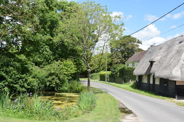
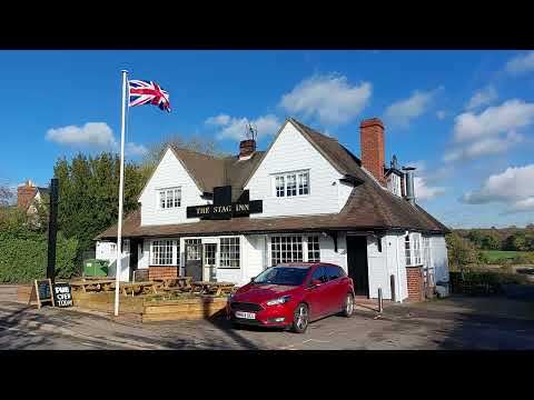
The village of Little Canfield is a small, rural settlement surrounded by picturesque countryside. It is predominantly residential, with a mix of old cottages and modern houses. The village itself has limited amenities, including a local pub and a village hall, but residents can easily access a wider range of facilities in nearby towns such as Bishop's Stortford and Great Dunmow.
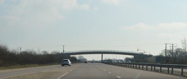
Little Canfield is well-connected in terms of transportation. The M11 motorway runs alongside the parish, providing convenient road links to London, Cambridge, and other major cities. The village is also within close proximity to Stansted Airport, which offers a range of national and international flights.
The area surrounding Little Canfield is rich in natural beauty, with rolling hills, meadows, and woodlands. There are several walking and cycling routes in the vicinity, offering opportunities for outdoor enthusiasts to explore the picturesque countryside.
Overall, Little Canfield is a peaceful and idyllic village, offering residents a rural lifestyle with easy access to larger towns and cities. With its charming setting and convenient location, it is an attractive place to live for those seeking a tranquil countryside retreat.
If you have any feedback on the listing, please let us know in the comments section below.
Little Canfield Images
Images are sourced within 2km of 51.86583/0.309268 or Grid Reference TL5921. Thanks to Geograph Open Source API. All images are credited.


Little Canfield is located at Grid Ref: TL5921 (Lat: 51.86583, Lng: 0.309268)
Administrative County: Essex
District: Uttlesford
Police Authority: Essex
What 3 Words
///universes.when.bead. Near Takeley, Essex
Nearby Locations
Related Wikis
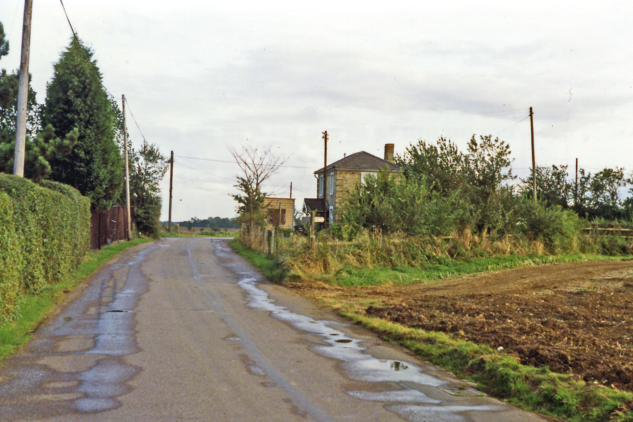
Easton Lodge railway station
Easton Lodge railway station was located to the west of Great Dunmow, Essex, near Easton Lodge. The station on the Bishop's Stortford to Braintree branch...

High Wood, Dunmow
High Wood, Dunmow is a 41.5-hectare (103-acre) biological Site of Special Scientific Interest in Great Dunmow in Essex. The local planning authority is...

Little Canfield
Little Canfield is a village and a civil parish in the Uttlesford district of Essex, England. The village is situated the B1256 road, near the A120 road...
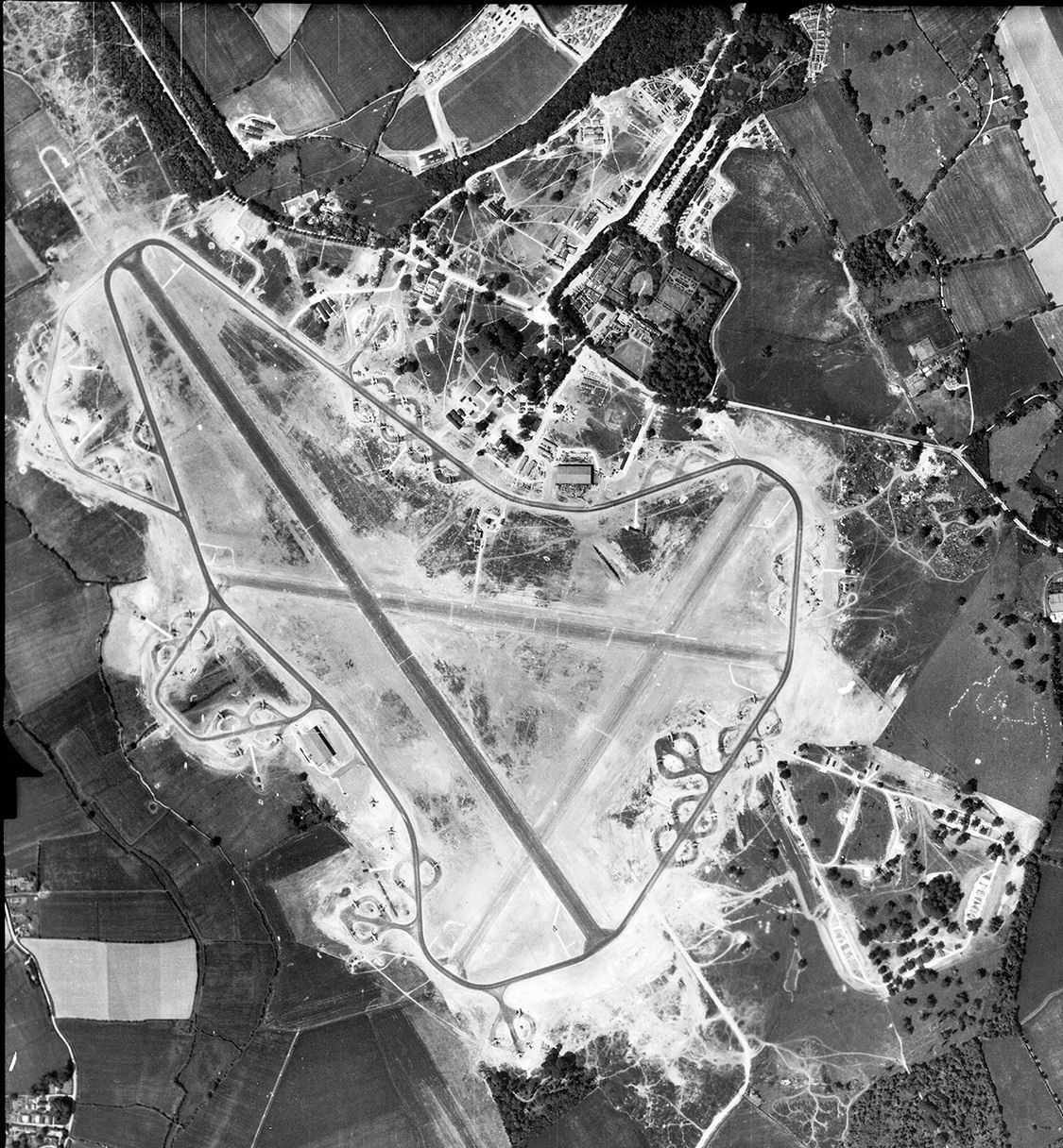
RAF Great Dunmow
Royal Air Force Great Dunmow or more simply RAF Great Dunmow is a former Royal Air Force station in the parish of Little Easton, Essex, England. The airfield...

Stane Street (Colchester)
Stane Street is a 39 mi (63 km) Roman road that runs from Ermine Street at Braughing, Hertfordshire to Colchester in Essex. == Route == Stane Street can...

Easton Lodge
Easton Lodge was a Victorian Gothic style stately home in Little Easton and north-west of Great Dunmow, Essex, England. Once famous for its weekend society...
Takeley F.C.
Takeley Football Club is an English football club based in Takeley, Essex. The club are currently members of the Essex Senior League and play at Station...
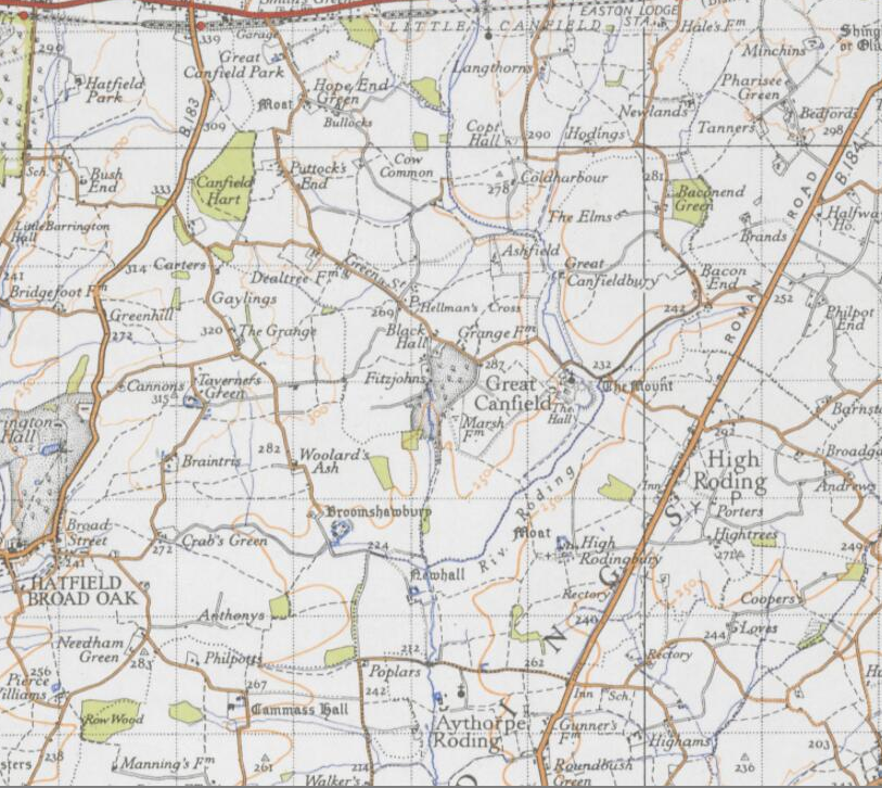
Great Canfield
Great Canfield is a village and a civil parish in the Uttlesford district of Essex, England. The village, which sits at the south-east edge of its civil...
Related Videos

What is a walking horse called? #shorts
What to do if a horse runs towards you? Stand still and let those with more experience handle the situation. If the horse runs ...
St Mary the Virgin Church, Little Easton, Essex, November 2022
St Mary the Virgin Church, Little Easton, Essex, November 2022. RAF Dunmow, Little Easton Manor, Daisy Countess Warwick.

Farm Fitness Workout
Built For Athletes promotional video featuring Rig Training founder Chris Rigby and London Rooftop Gym founder Gauri Chopra.

Nearby Amenities
Located within 500m of 51.86583,0.309268Have you been to Little Canfield?
Leave your review of Little Canfield below (or comments, questions and feedback).