Little Bardfield

Civil Parish in Essex Uttlesford

England

Little Bardfield

Field by Dunmow Road, Great Bardfield
Field by Dunmow Road, Great Bardfield Credit: David Howard

Little Bardfield is a civil parish located in the county of Essex, England. It is situated approximately 6 miles northeast of the town of Braintree and 11 miles southwest of the city of Chelmsford. The parish covers an area of around 6 square miles and is home to a population of approximately 500 residents.

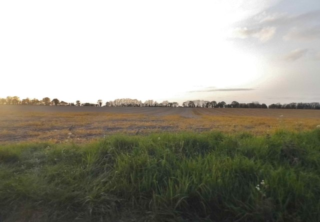
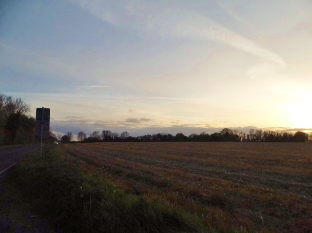
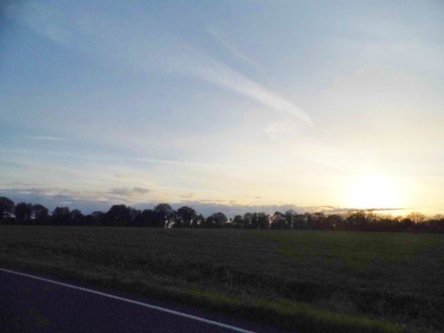
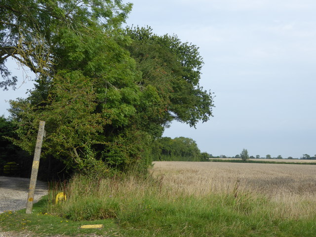
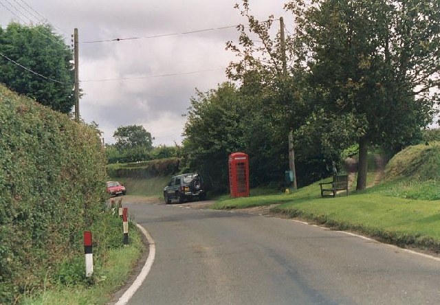
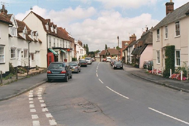
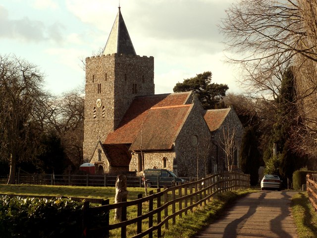
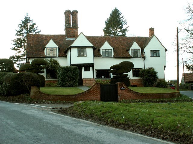
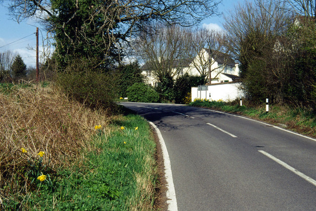
The village of Little Bardfield is set in a rural landscape, surrounded by picturesque countryside and farmland. It is known for its charming and traditional English village atmosphere, with a mix of historic and modern buildings. The village church, dedicated to St. Katherine, is a notable landmark, dating back to the 12th century.

The village has a small but active community, with a village hall that serves as a hub for various social and cultural events. There is also a primary school, providing education for local children.

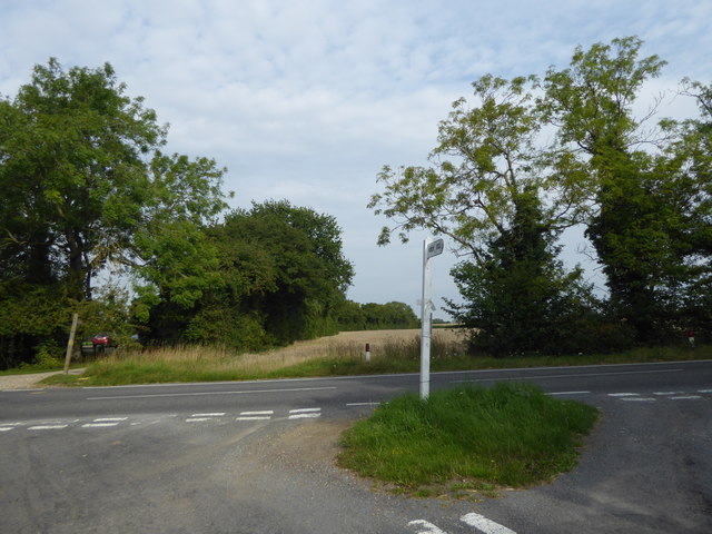
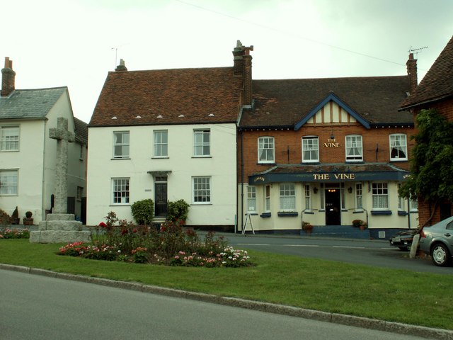
Little Bardfield offers a range of amenities for its residents, including a post office, a village store, and a pub. The surrounding area provides opportunities for outdoor activities such as walking, cycling, and horse riding, with numerous footpaths and bridleways.

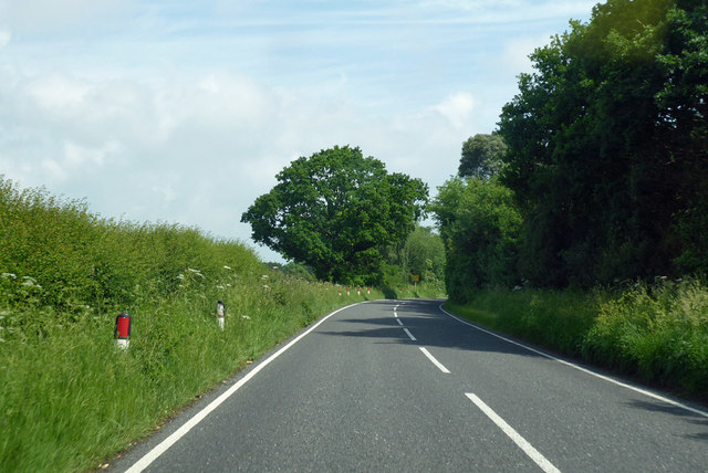
The parish is well-connected by road, with the A120 passing nearby, providing easy access to the nearby towns and cities. The closest railway station is in Braintree, offering regular services to London and other major cities.

In summary, Little Bardfield is a picturesque and rural civil parish in Essex, with a close-knit community and a range of amenities. It offers a peaceful and scenic environment, making it an attractive place to live for those seeking a quintessential English village experience.

If you have any feedback on the listing, please let us know in the comments section below.

Little Bardfield Images

Images are sourced within 2km of 51.950672/0.407364 or Grid Reference TL6530. Thanks to Geograph Open Source API. All images are credited.

Field by Dunmow Road, Great Bardfield
Sunset over Dunmow Road, Oxen End
Looking across Dunmow Road This is unnamed lane leads off the B1057 (Dunmow Road) to pass Fann's Farm and back again to meet Dunmow Road here.
Looking across Dunmow Road
This is unnamed lane leads off the B1057 (Dunmow Road) to pass Fann's Farm and back again to meet Dunmow Road here.
Bridleway at Oxen End This bridleway leads away from the B1057 (Dunmow Road) here at Oxen End to eventually reach Little Bardfield.
Bridleway at Oxen End
This bridleway leads away from the B1057 (Dunmow Road) here at Oxen End to eventually reach Little Bardfield.
B1057 towards Great Bardfield The hamlet of Oxen End is just round the bend.
B1057 towards Great Bardfield
The hamlet of Oxen End is just round the bend.
Entering Great Bardfield from the Dunmow direction The festival signs are a week out of date.
Entering Great Bardfield from the Dunmow direction
The festival signs are a week out of date.
Direction Sign – Signpost on the B1057 Dunmow Road in Little Bardfield parish Located on a grass triangle on the east side of a T junction of the B1057 Dunmow Road and a minor road to Fann's Farm in Little Bardfield parish. 1 arm and no finial. Restored by Steve Willing in 2021.


Milestone Society National ID: EX_TL6629
Direction Sign – Signpost on the B1057 Dunmow Road in Little Bardfield parish
Located on a grass triangle on the east side of a T junction of the B1057 Dunmow Road and a minor road to Fann's Farm in Little Bardfield parish. 1 arm and no finial. Restored by Steve Willing in 2021. Milestone Society National ID: EX_TL6629
Old phone box, Little Bardfield The photo is taken from just inside TL6530 - however the main feature is the old red phone box which is just inside the square I have submitted this for.
Old phone box, Little Bardfield
The photo is taken from just inside TL6530 - however the main feature is the old red phone box which is just inside the square I have submitted this for.
Main Street, Great Bardfield Looking north on the B1057 to the village centre.
Main Street, Great Bardfield
Looking north on the B1057 to the village centre.
St. Katherine's church, Little Bardfield, Essex This church stands in a very pleasant setting next to Little Bardfield Hall. It has a very fine late Anglo-Saxon tower.
St. Katherine's church, Little Bardfield, Essex
This church stands in a very pleasant setting next to Little Bardfield Hall. It has a very fine late Anglo-Saxon tower.
Chequers, Little Bardfield, Essex A very handsome timber-framed house with a date of 1609, though parts could be older.
Chequers, Little Bardfield, Essex
A very handsome timber-framed house with a date of 1609, though parts could be older.
Stones Farm Looking along the Great Bardfield - Thaxted road.  The building directly facing the photographer is Stones Farm, the one to the right behind the trees is called Stones Corner; the location is just marked as 'Stones' on the OS map.
Stones Farm
Looking along the Great Bardfield - Thaxted road. The building directly facing the photographer is Stones Farm, the one to the right behind the trees is called Stones Corner; the location is just marked as 'Stones' on the OS map.
'The Vine' public house at Great Bardfield, Essex On the left of the picture is the village war memorial.
'The Vine' public house at Great Bardfield, Essex
On the left of the picture is the village war memorial.
Bridge End cottages, Great Bardfield, Essex The road is the B.1057
Bridge End cottages, Great Bardfield, Essex
The road is the B.1057
Narrow bridge at Bridge End
Oxen End This junction is on the B.1057 Dunmow Road at Oxen End.
Oxen End
This junction is on the B.1057 Dunmow Road at Oxen End.
Brook House The road links Little Bardfield with Little Sampford.
Brook House
The road links Little Bardfield with Little Sampford.
Show me another place!

Little Bardfield is located at Grid Ref: TL6530 (Lat: 51.950672, Lng: 0.407364)

Administrative County: Essex

District: Uttlesford

Police Authority: Essex

What 3 Words

///coins.refer.printout. Near Great Bardfield, Essex

Related Wikis

Little Bardfield

Little Bardfield is a village and civil parish in the Uttlesford district of northwest Essex, England. Little Bardfield is a small scattered village on...

Hawkspur Green

Hawkspur Green is a hamlet in the Uttlesford district, in the county of Essex, England. It is located near the villages of Great Bardfield and Finchingfield...
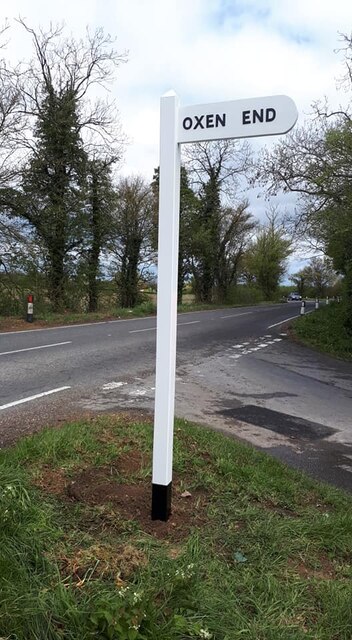
Oxen End

Oxen End is a hamlet on the B1057 road, in the Uttlesford District, in the English county of Essex. It is located a few miles from the village of Great...
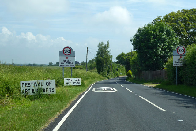
Great Bardfield

Great Bardfield is a large village in the Braintree district of Essex, England. It is located approximately 9 mi (14 km) northwest of the town of Braintree...

Bustard Green

Bustard Green is a hamlet in the civil parish of Lindsell, and the Uttlesford district of Essex, England, and is just under 1 mile (2 km) north from the...

Gibraltar Mill, Great Bardfield

Gibraltar Mill is a grade II listed Tower mill at Great Bardfield, Essex, England which has been converted to residential use. == History == The first...

Holder's Green

Holder's Green is a hamlet near the village of Lindsell, in the Uttlesford district of Essex, England. The hamlet is the site of the Essex Wildlife Trust...

Little Sampford

Little Sampford is a village and a civil parish on the B1053 road, in the Uttlesford district, in the county of Essex, England. The population of the civil...

Nearby Amenities

Located within 500m of 51.950672,0.407364
Little Bardfield
Place: village
Lat/Long: 51.9531276/0.4117988
The data included in this document is from www.openstreetmap.org. The data is made available under ODbL.

Have you been to Little Bardfield?

Leave your review of Little Bardfield below (or comments, questions and feedback).