Little Altcar
Civil Parish in Lancashire Sefton
England
Little Altcar

Little Altcar is a civil parish located in the county of Lancashire, England. It is situated on the coast of the Irish Sea, about 8 miles north of the city of Liverpool. The parish has a population of around 1,200 residents and covers an area of approximately 4 square miles.
The landscape of Little Altcar is predominantly rural, with open fields, farmland, and a few scattered residential areas. The village itself is small and picturesque, with traditional stone-built houses and a charming village green. The parish is surrounded by beautiful countryside, offering stunning views of the nearby Formby sand dunes and the sea.
The area has a rich history, with evidence of human habitation dating back to prehistoric times. There are several archaeological sites within the parish, including ancient burial mounds and Roman remains. The village also has a Grade II listed church, St. Michael's Church, which dates back to the 17th century and is a notable architectural landmark.
Little Altcar is primarily a residential area, with a close-knit community and a strong sense of local pride. The village has a primary school, a community center, and a few small businesses, including a pub and a convenience store. It is well-connected to other nearby towns and cities, with good transport links and easy access to major roads.
Overall, Little Altcar offers a tranquil and idyllic setting for its residents, with its rural charm, natural beauty, and sense of history.
If you have any feedback on the listing, please let us know in the comments section below.
Little Altcar Images
Images are sourced within 2km of 53.532549/-3.076427 or Grid Reference SD2804. Thanks to Geograph Open Source API. All images are credited.


Little Altcar is located at Grid Ref: SD2804 (Lat: 53.532549, Lng: -3.076427)
Administrative County: Merseyside
District: Sefton
Police Authority: Merseyside
What 3 Words
///resting.awake.compliant. Near Hightown, Merseyside
Nearby Locations
Related Wikis
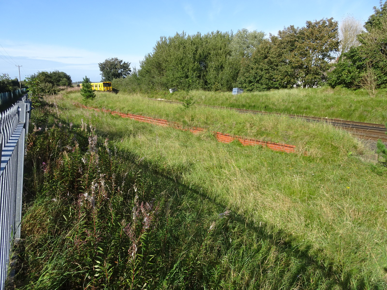
Altcar Rifle Range railway station
Altcar Rifle Range railway station was a railway station on the Liverpool, Crosby and Southport Railway, situated a third of a mile north of Hightown,...
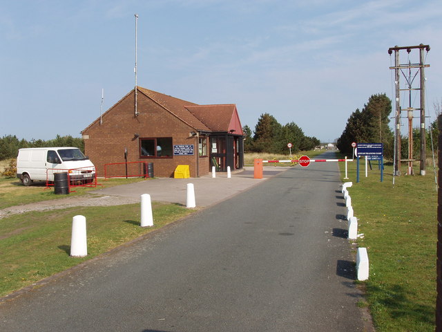
Altcar Training Camp
Altcar Training Camp is located in Hightown, Merseyside, England. The 620-acre (250 ha) estate is composed of beaches, marshland, fields and small woods...
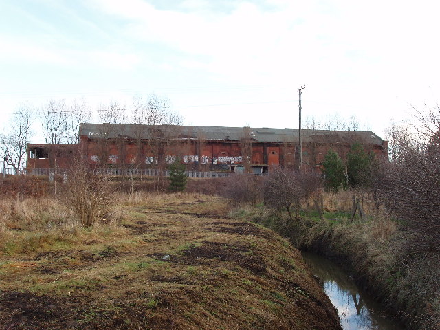
Formby Power Station railway station
Formby Power Station railway station was a railway station on the Liverpool, Crosby and Southport Railway, situated south of Hogshill Lane and just north...

Range High School
Range High School is a coeducational secondary school and sixth form located in Formby, Merseyside, England. It was built during the early 1970s after...
Nearby Amenities
Located within 500m of 53.532549,-3.076427Have you been to Little Altcar?
Leave your review of Little Altcar below (or comments, questions and feedback).