Broom

Settlement in Pembrokeshire

Wales

Broom

Reynalton Congregational Chapel The Congregational Chapel (now United Reformed Church) was built in 1867 and rebuilt in 1904, although meeting of the 'Independents' started in the barn at East Farm in 1846.  It is a simple building, but with an elaborate door-surround with a name plaque over it in the rendered gable wall facing the road, painted rather unusually in white and pale blue.
Reynalton Congregational Chapel Credit: Humphrey Bolton

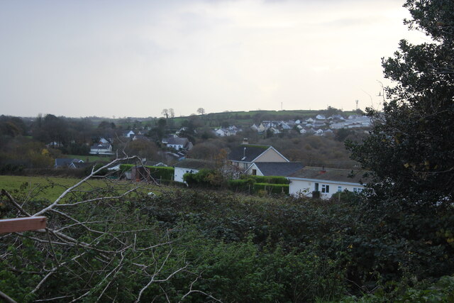
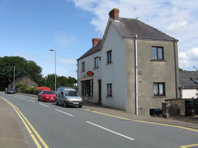
Broom is a small village located in the county of Pembrokeshire, Wales. Situated near the western coast of the country, it is nestled in a rural setting amidst picturesque countryside and rolling hills. The village is surrounded by natural beauty, with lush green fields, meandering streams, and woodlands, making it an ideal destination for nature enthusiasts and those seeking a peaceful retreat.

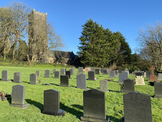
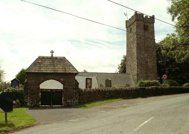
Despite its small size, Broom has a rich history, dating back to medieval times. The village maintains its traditional charm with a cluster of stone cottages and a quaint village church, which stands as a testament to its past. The local community is known for its warm and welcoming nature, offering a genuine taste of Welsh hospitality to visitors.

While Broom may be a quiet village, it offers a range of activities and attractions for visitors. The surrounding countryside is perfect for leisurely walks and hikes, with scenic trails that showcase the area's natural beauty. Outdoor enthusiasts can also explore the nearby Pembrokeshire Coast National Park, which boasts stunning coastal views, sandy beaches, and rugged cliffs.

For those interested in history, a visit to the nearby town of Pembroke is a must. Here, visitors can explore the magnificent Pembroke Castle, a well-preserved medieval fortress that has stood for over 900 years. The castle offers guided tours and a glimpse into the region's fascinating past.

In summary, Broom is a charming village in Pembrokeshire that offers a peaceful and idyllic escape for visitors. With its natural beauty, rich history, and warm community, it is a hidden gem worth exploring for those looking to experience the beauty of rural Wales.

If you have any feedback on the listing, please let us know in the comments section below.
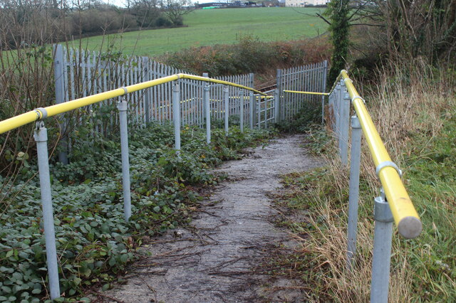
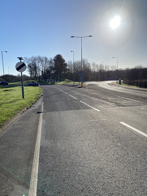
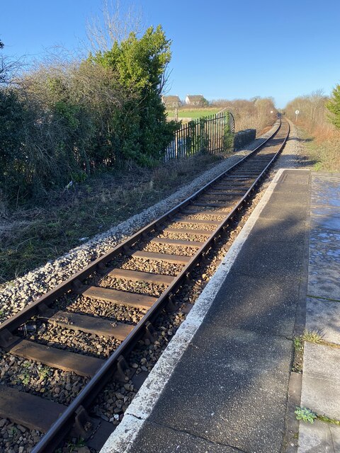
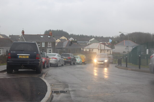
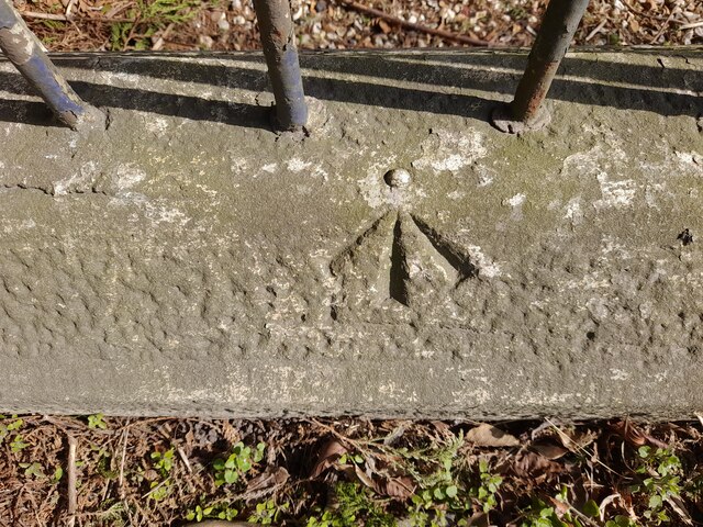
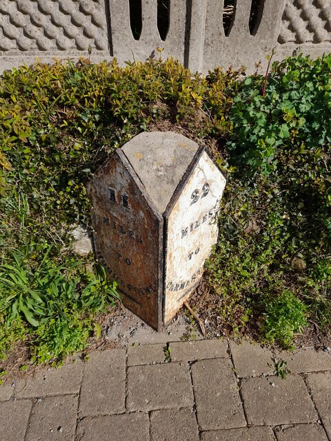
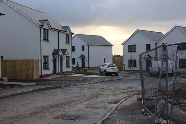
Broom Images

Images are sourced within 2km of 51.740819/-4.73719 or Grid Reference SN1108. Thanks to Geograph Open Source API. All images are credited.

Reynalton Congregational Chapel The Congregational Chapel (now United Reformed Church) was built in 1867 and rebuilt in 1904, although meeting of the 'Independents' started in the barn at East Farm in 1846.  It is a simple building, but with an elaborate door-surround with a name plaque over it in the rendered gable wall facing the road, painted rather unusually in white and pale blue.
Reynalton Congregational Chapel
The Congregational Chapel (now United Reformed Church) was built in 1867 and rebuilt in 1904, although meeting of the 'Independents' started in the barn at East Farm in 1846. It is a simple building, but with an elaborate door-surround with a name plaque over it in the rendered gable wall facing the road, painted rather unusually in white and pale blue.
Entrance to Langdon Farm Langdon Farm and B & B with junction to Langdon bridge right of centre.
Entrance to Langdon Farm
Langdon Farm and B & B with junction to Langdon bridge right of centre.
Fieldscape Near Hackett
Lane At Hackett
Lane At Hackett
Lane Junction At Langdon
View West From Langdon Junction
View of Jeffreyston Church on a foggy morning
Path from lay-by to railway line The concrete path leads via a locked gate to what appears to be a small platform next to the line.
Path from lay-by to railway line
The concrete path leads via a locked gate to what appears to be a small platform next to the line.
Railway line by A478 road The Pembroke & Tenby line on an embankment comes its closest to the road here.
Railway line by A478 road
The Pembroke & Tenby line on an embankment comes its closest to the road here.
Approaching the King’s Moor roundabout
St Mary’s Church, Begelly View of the parish church across the churchyard.
St Mary’s Church, Begelly
View of the parish church across the churchyard.
Kilgetty Railway Railway line and station at Kilgetty, towards Narberth.
Kilgetty Railway
Railway line and station at Kilgetty, towards Narberth.
Road to Stepaside Community Primary School Unnamed road in the rain from Carmarthen Road to school and (not on OS map) housing construction site, Kilgetty.
Road to Stepaside Community Primary School
Unnamed road in the rain from Carmarthen Road to school and (not on OS map) housing construction site, Kilgetty.
Ordnance Survey Rivet This OS rivet can be found on the wall of the Zion Chapel. It marks a point 76.906m above mean sea level.
Ordnance Survey Rivet
This OS rivet can be found on the wall of the Zion Chapel. It marks a point 76.906m above mean sea level.
Milestone - Carmarthen 22
New houses, Meadow Gardens, Kilgetty Partly completed housing estate.
New houses, Meadow Gardens, Kilgetty
Partly completed housing estate.
View over Kilgetty Looking SSW from the end of Meadow Gardens.
View over Kilgetty
Looking SSW from the end of Meadow Gardens.
Road junction on A477
Show me another place!

Broom is located at Grid Ref: SN1108 (Lat: 51.740819, Lng: -4.73719)

Unitary Authority: Pembrokeshire

Police Authority: Dyfed Powys

What 3 Words

///noun.acute.escapades. Near Kilgetty, Pembrokeshire

Nearby Locations

Broom Shipping

Related Wikis

Folly Farm Adventure Park and Zoo

The Folly Farm Adventure Park and Zoo (also known as Folly Farm), situated to the north of Saundersfoot and Tenby in Pembrokeshire, is a visitor attraction...

Kilgetty/Begelly

Kilgetty/Begelly is a community in southeast Pembrokeshire, Wales. It includes the settlements of Begelly, Broom, Kilgetty, Reynalton, Shipping and Thomas...

Begelly

Begelly (Welsh: Begeli) is a village and parish in south Pembrokeshire, Wales, 4.3 miles (6.9 km) north of Tenby on the A478 road. The parish includes...

Kilgetty

Kilgetty (Welsh: Cilgeti; ) is a village immediately north of Saundersfoot in Pembrokeshire, Wales, at the junction of the A477 between St. Clears and...

Nearby Amenities

Located within 500m of 51.740819,-4.73719
Power: tower
Lat/Long: 51.7433711/-4.7431363
Power: tower
Lat/Long: 51.7430452/-4.7418926
Jolly Roger
Leisure: playground
Lat/Long: 51.7442814/-4.7337732
Bench
Lat/Long: 51.7450606/-4.7370313
Vending Machine
Lat/Long: 51.7434961/-4.7322704
Bench
Lat/Long: 51.7451087/-4.7366987
Fast Food
Carousel Burger Bar
Lat/Long: 51.7433998/-4.7333336
Toilets
Lat/Long: 51.7437286/-4.7327156
Drinking Water
Lat/Long: 51.744569/-4.7351549
Giraffe
Tourism: viewpoint
Lat/Long: 51.7425114/-4.7342548
Lions
Tourism: viewpoint
Lat/Long: 51.7441905/-4.7348315
Barrier: bollard
Lat/Long: 51.7427179/-4.734934
Theatre
Folly Theatre
Lat/Long: 51.7432978/-4.7318003
Restaurant
Folly Restaurant
Lat/Long: 51.7436649/-4.7316476
Direction: SSW
Generator Method: photovoltaic
Generator Output Electricity: yes
Generator Solar Modules: 8
Generator Source: solar
Generator Type: solar_photovoltaic_panel
Location: roof
Power: generator
Lat/Long: 51.7410597/-4.7361669
Direction: WSW
Generator Method: photovoltaic
Generator Output Electricity: yes
Generator Solar Modules: 16
Generator Source: solar
Generator Type: solar_photovoltaic_panel
Location: roof
Power: generator
Lat/Long: 51.7420078/-4.7391551
Direction: WSW
Generator Method: photovoltaic
Generator Output Electricity: yes
Generator Solar Modules: 12
Generator Source: solar
Generator Type: solar_photovoltaic_panel
Location: roof
Power: generator
Lat/Long: 51.7419599/-4.739112
Direction: 215
Generator Method: photovoltaic
Generator Output Electricity: yes
Generator Solar Modules: 14
Generator Source: solar
Generator Type: solar_photovoltaic_panel
Location: roof
Power: generator
Lat/Long: 51.7424847/-4.7395626
Leisure: picnic_table
Lat/Long: 51.7446356/-4.7335162
Leisure: picnic_table
Lat/Long: 51.7446213/-4.7335886
Leisure: picnic_table
Lat/Long: 51.7446064/-4.733685
Leisure: picnic_table
Lat/Long: 51.7445382/-4.7336276
Leisure: picnic_table
Lat/Long: 51.7445524/-4.7335311
Leisure: picnic_table
Lat/Long: 51.7445282/-4.7338239
Leisure: picnic_table
Lat/Long: 51.7444536/-4.734026
Leisure: picnic_table
Lat/Long: 51.7443953/-4.733987
Leisure: picnic_table
Lat/Long: 51.744337/-4.734134
Leisure: picnic_table
Lat/Long: 51.744359/-4.7335828
Leisure: picnic_table
Lat/Long: 51.744327/-4.7335667
Leisure: picnic_table
Lat/Long: 51.7443071/-4.7335541
Leisure: picnic_table
Lat/Long: 51.7442893/-4.7335484
Leisure: picnic_table
Lat/Long: 51.7442317/-4.7335392
Leisure: picnic_table
Lat/Long: 51.7444088/-4.7334703
Leisure: picnic_table
Lat/Long: 51.7444038/-4.7335093
Leisure: picnic_table
Lat/Long: 51.744418/-4.7331821
Leisure: picnic_table
Lat/Long: 51.7443924/-4.733065
Leisure: picnic_table
Lat/Long: 51.7443953/-4.7330259
Leisure: picnic_table
Lat/Long: 51.7441658/-4.733881
Leisure: picnic_table
Lat/Long: 51.7441572/-4.7339442
Leisure: picnic_table
Lat/Long: 51.7441449/-4.7340117
Leisure: picnic_table
Lat/Long: 51.7441347/-4.7340731
Leisure: picnic_table
Lat/Long: 51.7440876/-4.7340455
Leisure: picnic_table
Lat/Long: 51.7440961/-4.7339857
Leisure: picnic_table
Lat/Long: 51.7441058/-4.7339165
Leisure: picnic_table
Lat/Long: 51.7441154/-4.7338568
Leisure: picnic_table
Lat/Long: 51.7431457/-4.7335442
Leisure: picnic_table
Lat/Long: 51.7431019/-4.7334943
Leisure: picnic_table
Lat/Long: 51.7430883/-4.733619
Leisure: picnic_table
Lat/Long: 51.7431383/-4.733618
Leisure: picnic_table
Lat/Long: 51.7431235/-4.7338642
Leisure: picnic_table
Lat/Long: 51.7431161/-4.733931
Leisure: picnic_table
Lat/Long: 51.7430821/-4.7338861
Leisure: picnic_table
Lat/Long: 51.7430408/-4.733926
Leisure: picnic_table
Lat/Long: 51.7430136/-4.7338333
Leisure: picnic_table
Lat/Long: 51.7430624/-4.7338183
Leisure: picnic_table
Lat/Long: 51.7429883/-4.7336957
Leisure: picnic_table
Lat/Long: 51.7429852/-4.7335861
Leisure: picnic_table
Lat/Long: 51.7429895/-4.7335472
Leisure: picnic_table
Lat/Long: 51.7429611/-4.7334236
Leisure: picnic_table
Lat/Long: 51.7429297/-4.7336857
Leisure: picnic_table
Lat/Long: 51.7432198/-4.7340576
Leisure: picnic_table
Lat/Long: 51.7432481/-4.7340745
Leisure: picnic_table
Lat/Long: 51.7432636/-4.7339738
Leisure: picnic_table
Lat/Long: 51.7432901/-4.7339958
The data included in this document is from www.openstreetmap.org. The data is made available under ODbL.

Have you been to Broom?

Leave your review of Broom below (or comments, questions and feedback).