Ledsham

Civil Parish in Cheshire

England

Ledsham

A540 Parkgate Road Approaching Chester
A540 Parkgate Road Credit: Richard Webb

Ledsham is a small civil parish located in Cheshire, England. It is situated approximately 10 miles south of Liverpool and 15 miles north of Chester. The parish covers an area of around 2.5 square miles and is home to a population of just over 500 residents.

The village of Ledsham is a picturesque and historic settlement, with many traditional stone-built houses and cottages dating back to the 18th and 19th centuries. The parish is surrounded by beautiful countryside, making it an ideal location for those seeking a peaceful and rural lifestyle.

Ledsham is well-connected by road, with easy access to the nearby towns of Ellesmere Port and Neston. The parish is also within close proximity to the M53 motorway, providing convenient links to Liverpool, Chester, and beyond.

In terms of amenities, Ledsham has a village hall, a primary school, and a church, providing residents with essential services and a sense of community. Overall, Ledsham is a charming and idyllic rural parish, offering a tranquil setting for those looking to escape the hustle and bustle of urban life.

If you have any feedback on the listing, please let us know in the comments section below.
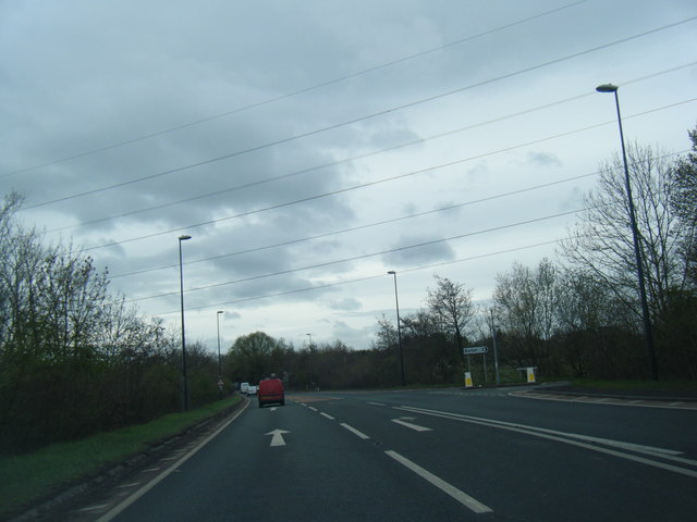
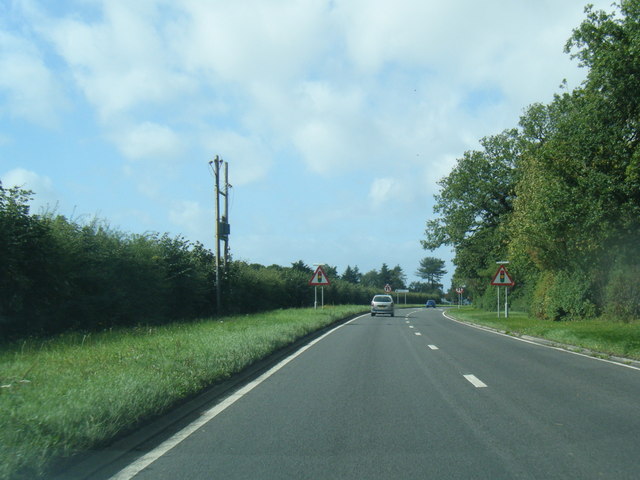
Ledsham Images

Images are sourced within 2km of 53.267744/-2.968643 or Grid Reference SJ3574. Thanks to Geograph Open Source API. All images are credited.

A540 Parkgate Road Approaching Chester
A540 Parkgate Road
Approaching Chester
The Yacht Inn, Parkgate Road, near Capenhurst
Car dealers, Parkgate Road
Carpet showrooms, Parkgate Road
Old Milepost by the A550, south of Hooton Cast iron post by the A550, in parish of Ellesmere Port (Ellesmere Port and Neston District), near Ledsham Station, on the verge, on East side of road. Cast iron CCC1898, erected by the County Council in the 19th century. 

Inscription reads:-
: QUEENS FERRY / 5 MILES : : CHESHIRE / 1898 / COUNTY COUNCIL : : LEDSHAM STATION / ⅛ MILE / EASTHAM / FERRY 4 / BIRKENHEAD / WOODSIDE / FERRY 9 :
Maker:-
: W H SMITH & CO / MAKERS / WHITCHURCH :

Milestone Society National ID: CH_QFBH05
Old Milepost by the A550, south of Hooton
Cast iron post by the A550, in parish of Ellesmere Port (Ellesmere Port and Neston District), near Ledsham Station, on the verge, on East side of road. Cast iron CCC1898, erected by the County Council in the 19th century. Inscription reads:- : QUEENS FERRY / 5 MILES : : CHESHIRE / 1898 / COUNTY COUNCIL : : LEDSHAM STATION / ⅛ MILE / EASTHAM / FERRY 4 / BIRKENHEAD / WOODSIDE / FERRY 9 : Maker:- : W H SMITH & CO / MAKERS / WHITCHURCH : Milestone Society National ID: CH_QFBH05
Welsh Road/Badgers Rake Lane junction
Welsh Road/Ledsham Lane junction
Welsh Road
Welsh Road
Two Mills junction of A550 and A540
Welsh Road, south of Two Mills
Chester High Road The A540 which goes from Chester to Hoylake along the length of the Wirral.
Chester High Road
The A540 which goes from Chester to Hoylake along the length of the Wirral.
The grounds of Inglewood Manor Hotel
Badgers Rake Lane
Badgers Rake Lane
Badgers Rake Lane
Badgers Rake Lane
Parkgate Road
Parkgate Road
Urenco Offices, Capenhurst
Offices in Capenhurst Technology Park
Holy Trinity Parish Church. Capenhurst
Show me another place!

Ledsham is located at Grid Ref: SJ3574 (Lat: 53.267744, Lng: -2.968643)

Unitary Authority: Cheshire West and Chester

Police Authority: Cheshire

What 3 Words

///expires.contracting.readjust. Near Ledsham, Cheshire

Nearby Locations

Ledsham Ledsham

Related Wikis

Ledsham, Cheshire

Ledsham is a village and civil parish in the unitary authority of Cheshire West and Chester and the ceremonial county of Cheshire, England. The civil parish...

Ellesmere Port and Neston

Ellesmere Port and Neston was, from 1974 to 2009, a local government district with borough status in Cheshire, England. It covered the southern part of...

Ellesmere Port and Neston (UK Parliament constituency)

Ellesmere Port and Neston is a constituency represented in the House of Commons of the UK Parliament since 2015 by Justin Madders of the Labour Party.Further...

Inglewood, Cheshire

Inglewood is a house to the north-west of the village of Ledsham, Cheshire, England. It was built in 1909, but is dated 1915. The house was built for...

Nearby Amenities

Located within 500m of 53.267744,-2.968643
Power: tower
Lat/Long: 53.2687906/-2.9635201
Power: tower
Lat/Long: 53.2670145/-2.9676485
Power: tower
Lat/Long: 53.2650381/-2.9723263
Power: tower
Lat/Long: 53.2637777/-2.9679084
Power: tower
Lat/Long: 53.2655517/-2.9658874
Power: tower
Lat/Long: 53.2675705/-2.9613514
Power: pole
Lat/Long: 53.2666849/-2.9644537
Power: pole
Lat/Long: 53.2670667/-2.9638931
Power: pole
Lat/Long: 53.2675849/-2.9633835
Power: pole
Lat/Long: 53.2678127/-2.96288
Power: pole
Lat/Long: 53.268302/-2.9619557
Bus Stop
Ledsham, Ledsham Lane / Suttons Nursery
Bus: yes
Naptan AtcoCode: 0610CHD3025
Naptan Bearing: S
Naptan BusStopType: CUS
Naptan CommonName: Suttons Nursery
Naptan Indicator: o/s
Naptan Landmark: Suttons Nursery
Naptan LocalityName: Ledsham
Naptan NaptanCode: chwadgag
Naptan ShortCommonName: Suttons Nursery
Naptan Street: Ledsham Lane
Public Transport: platform
Source: naptan_import
Lat/Long: 53.2650719/-2.962726
The data included in this document is from www.openstreetmap.org. The data is made available under ODbL.

Have you been to Ledsham?

Leave your review of Ledsham below (or comments, questions and feedback).