Leavenheath

Civil Parish in Suffolk Babergh

England

Leavenheath

Stoke Road at the junction of Nayland Road
Stoke Road at the junction of Nayland Road Credit: David Howard

The requested URL returned error: 429 Too Many Requests

If you have any feedback on the listing, please let us know in the comments section below.
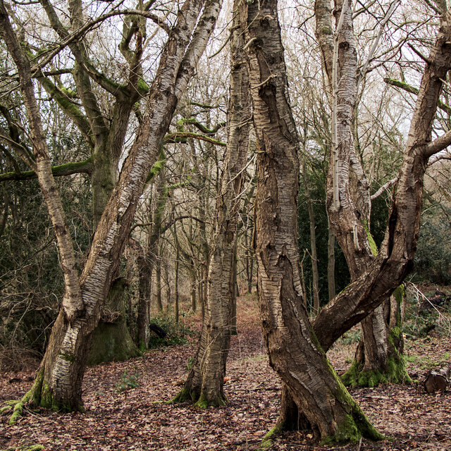
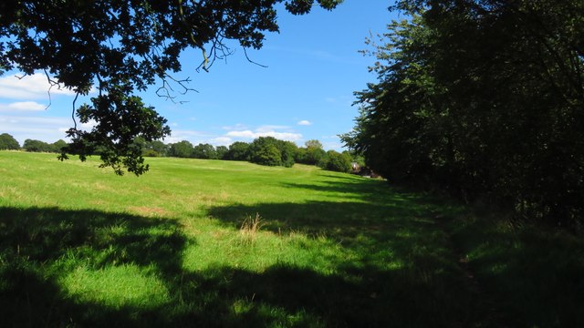
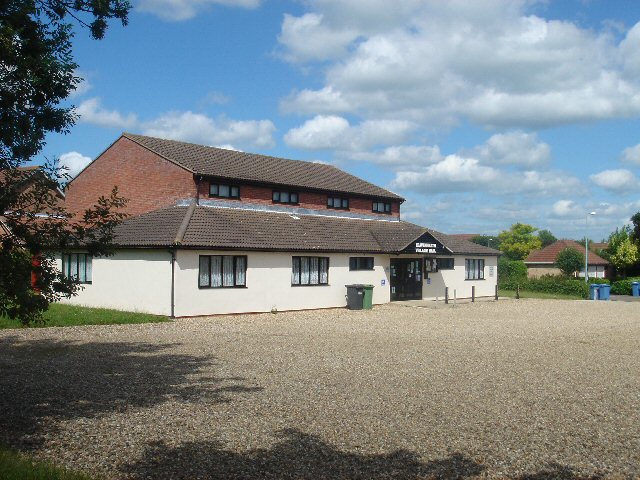
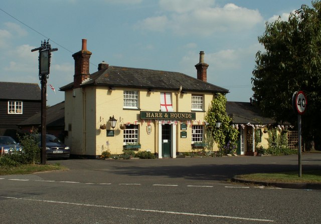
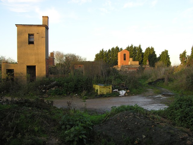
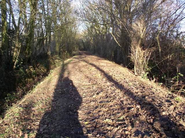
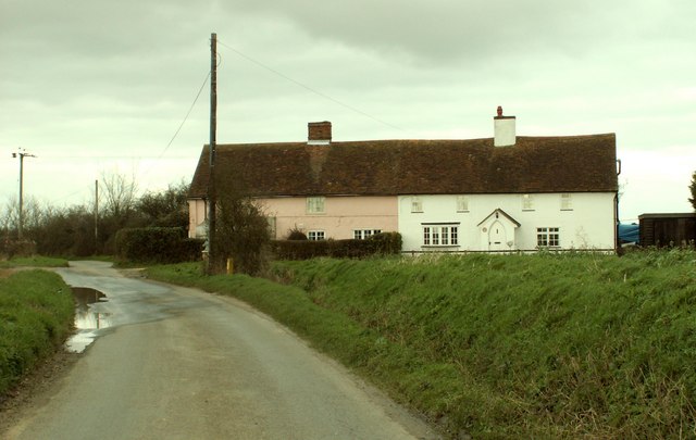
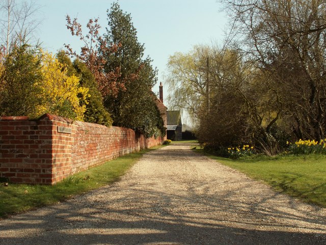
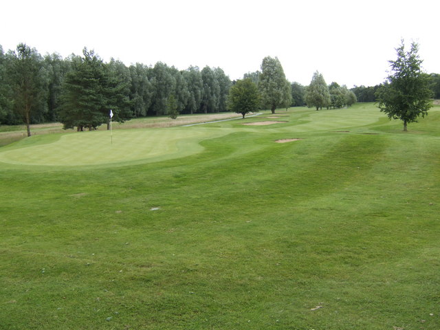
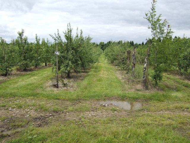
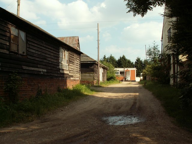
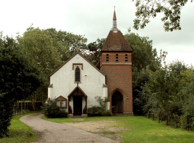
Leavenheath Images

Images are sourced within 2km of 51.993037/0.84437 or Grid Reference TL9536. Thanks to Geograph Open Source API. All images are credited.

Stoke Road at the junction of Nayland Road
Stoke Road, Leavenheath
Sylvan Birches, Arger Fen & Spouse's Vale Nature Reserve A January view of some Silver Birches near a walk in Spouse's Grove.
Sylvan Birches, Arger Fen & Spouse's Vale Nature Reserve
A January view of some Silver Birches near a walk in Spouse's Grove.
Field between roads, Leavenheath The name of the road from which this is taken, the Old Road, suggests that the A road visible between the trees is a later realignment to take out a sharp bend a little north of here.
Field between roads, Leavenheath
The name of the road from which this is taken, the Old Road, suggests that the A road visible between the trees is a later realignment to take out a sharp bend a little north of here.
Following St Edmund Way east towards Wissington Grange
Lion on the A134 This is the Lion at Honey Tye near Leavenheath between Colchester and Sudbury. A Free House noted for its good food in fact almost more a Restaurant than a pub. The photo was taken from the junction of Radley’s Lane and the A134 looking towards Leavenheath
Lion on the A134
This is the Lion at Honey Tye near Leavenheath between Colchester and Sudbury. A Free House noted for its good food in fact almost more a Restaurant than a pub. The photo was taken from the junction of Radley’s Lane and the A134 looking towards Leavenheath
Leavenheath Village Hall A busy meeting point for a growing South Suffolk village.
Leavenheath Village Hall
A busy meeting point for a growing South Suffolk village.
'Hare And Hounds' inn, Leavenheath, Suffolk This inn stands alongside the busy A134 road.
'Hare And Hounds' inn, Leavenheath, Suffolk
This inn stands alongside the busy A134 road.
Signpost to Leavenheath Village Hall On the A134 between Sudbury and Colchester.
Signpost to Leavenheath Village Hall
On the A134 between Sudbury and Colchester.
Derelict building at The Carrs near Leavenheath
Kingsland Lane, Leavenheath, Suffolk A public bridleway south of Leavenheath. Very muddy and littered with debris from recent storms.
Kingsland Lane, Leavenheath, Suffolk
A public bridleway south of Leavenheath. Very muddy and littered with debris from recent storms.
Road to Brunning's Farm
Cottages along Marshalls Green
Part of Harrow Street Farm
Green at Stoke-by-Nayland Golf Club.
Apple orchards at Leavenheath We are not far from the manufacturers of Copella fruit juices here.
Apple orchards at Leavenheath
We are not far from the manufacturers of Copella fruit juices here.
Part of Daltons Farm
St. Matthew; the parish church of Leavenheath This church was built in 1835 and designed by G. Russell French.
St. Matthew; the parish church of Leavenheath
This church was built in 1835 and designed by G. Russell French.
Show me another place!

Leavenheath is located at Grid Ref: TL9536 (Lat: 51.993037, Lng: 0.84437)

Administrative County: Suffolk

District: Babergh

Police Authority: Suffolk

What 3 Words

///upstarts.binds.guard. Near Bures St Mary, Suffolk

Nearby Locations

Leavenheath

Related Wikis

Leavenheath

Leavenheath is a village and civil parish in Suffolk, England, close to the Essex border. Located on the A134 between Sudbury and Colchester, it is part...
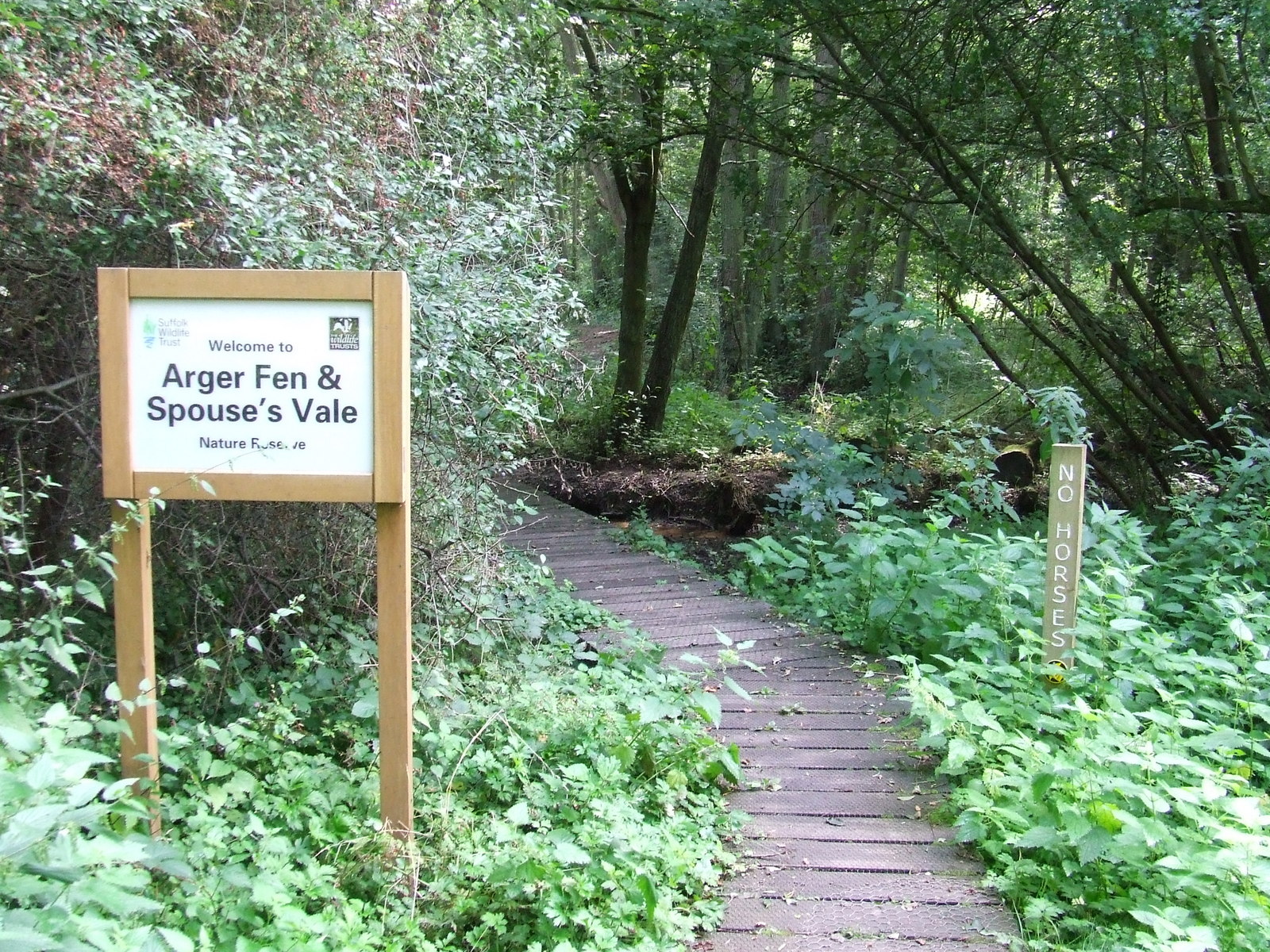
Arger Fen

Arger Fen is a 49.7-hectare (123-acre) biological Site of Special Scientific Interest (SSSI) south-east of Sudbury in Suffolk, England. The site occupies...

Assington

Assington is a village in Suffolk, England, 4 miles (6.4 km) south-east of Sudbury. At the 2011 Census it had a population of 402, estimated at 445 in...

Hagmore Green

Hagmore Green is a hamlet in the civil parish of Boxford, in the Babergh district, in the county of Suffolk, England. The nearest village is Boxford, the...

Nearby Amenities

Located within 500m of 51.993037,0.84437
Maple Road
Naptan AtcoCode: 390010100
Naptan Bearing: N
Naptan BusStopType: CUS
Naptan CommonName: Maple Road
Naptan Indicator: adj
Naptan Landmark: Maple Road
Naptan NaptanCode: sufadjag
Naptan Street: High Road
Naptan Verified: no
Source: naptan_import
Lat/Long: 51.990179/0.840565
Bus Stop
Shelter
Naptan AtcoCode: 390010101
Naptan Bearing: E
Naptan CommonName: Shelter
Naptan Indicator: o/s
Naptan Landmark: Shelter
Naptan NaptanCode: sufadjaj
Naptan Street: High Road
Naptan Verified: no
Public Transport: platform
Source: naptan_import
Lat/Long: 51.9897077/0.8427821
Shelter
Naptan AtcoCode: 390010726
Naptan Bearing: W
Naptan BusStopType: CUS
Naptan CommonName: Shelter
Naptan Indicator: opp
Naptan Landmark: Shelter
Naptan NaptanCode: sufjdmpg
Naptan Street: High Road
Naptan Verified: no
Public Transport: platform
Source: naptan_import
Lat/Long: 51.9896281/0.8429729
Edies Lane
Naptan AtcoCode: 390010727
Naptan Bearing: W
Naptan BusStopType: CUS
Naptan CommonName: Edies Lane
Naptan Indicator: adj
Naptan Landmark: Edies Lane
Naptan NaptanCode: sufjdmpj
Naptan Street: High Road
Naptan Verified: no
Public Transport: platform
Source: naptan_import
Lat/Long: 51.9902151/0.8390669
Edies Lane
Naptan AtcoCode: 390010728
Naptan Bearing: E
Naptan BusStopType: CUS
Naptan CommonName: Edies Lane
Naptan Indicator: opp
Naptan Landmark: Edies Lane
Naptan NaptanCode: sufjdmpm
Naptan Street: High Road
Naptan Verified: no
Public Transport: platform
Source: naptan_import
Lat/Long: 51.9902766/0.839129
Bus Stop
High Road
Naptan AtcoCode: 390019667
Naptan BusStopType: CUS
Naptan NaptanCode: sufmgwmp
Naptan Verified: no
Public Transport: platform
Source: naptan
Lat/Long: 51.9891704/0.844779
Bus Stop
High Road
Naptan AtcoCode: 390018668
Naptan BusStopType: CUS
Naptan NaptanCode: sufmgwmt
Naptan Verified: no
Public Transport: platform
Source: naptan
Lat/Long: 51.989677/0.8450297
The data included in this document is from www.openstreetmap.org. The data is made available under ODbL.

Have you been to Leavenheath?

Leave your review of Leavenheath below (or comments, questions and feedback).