Lavenham
Civil Parish in Suffolk Babergh
England
Lavenham
Lavenham is a picturesque village located in Suffolk, England. It is a civil parish situated about 20 miles west of Ipswich and is known for its well-preserved medieval architecture. The village is nestled in the stunning countryside of the Babergh district and is surrounded by rolling hills and fields.
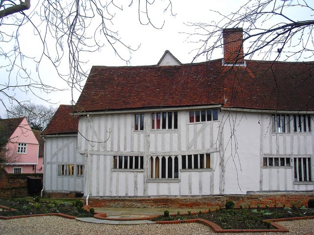
Lavenham boasts a rich history that dates back to the 13th century when it was a prosperous wool town. The village thrived during the medieval period, and evidence of its wealth can be seen in its stunning timber-framed buildings. Lavenham is often referred to as the "finest medieval village in England" due to its well-preserved half-timbered houses, many of which have been converted into charming shops, cafes, and inns.
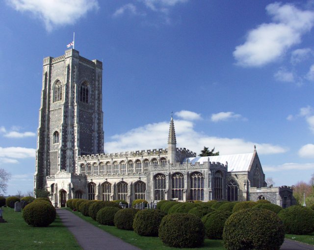
Visitors to Lavenham can take a leisurely stroll along the village's narrow streets and admire the beautiful architecture, including the impressive Guildhall, which dates back to the 16th century. The village is also home to the stunning Church of St Peter and St Paul, a magnificent example of Perpendicular Gothic architecture.
Lavenham offers a range of amenities for visitors, including boutique shops, art galleries, and traditional pubs serving delicious local cuisine. The village is also a popular destination for film and TV productions, with its historic buildings providing the perfect backdrop for period dramas.
Overall, Lavenham is a captivating destination that offers a glimpse into England's medieval past. Its well-preserved architecture, charming atmosphere, and idyllic location make it a must-visit for history enthusiasts and those seeking a peaceful retreat in the Suffolk countryside.
If you have any feedback on the listing, please let us know in the comments section below.
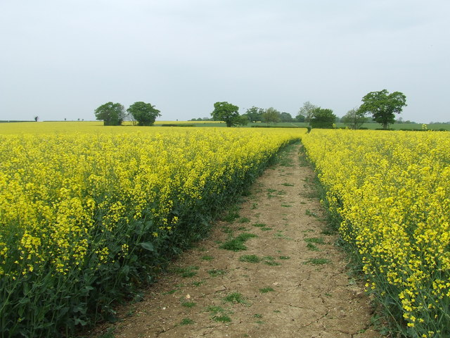
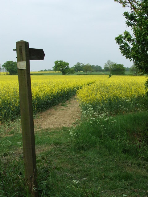
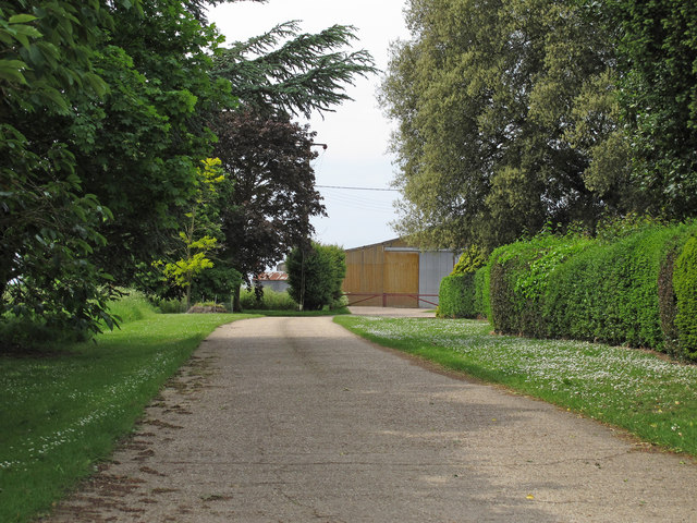
Lavenham Images
Images are sourced within 2km of 52.11389/0.790255 or Grid Reference TL9149. Thanks to Geograph Open Source API. All images are credited.


Lavenham is located at Grid Ref: TL9149 (Lat: 52.11389, Lng: 0.790255)
Administrative County: Suffolk
District: Babergh
Police Authority: Suffolk
What 3 Words
///bathtubs.stepping.acids. Near Lavenham, Suffolk
Nearby Locations
Related Wikis
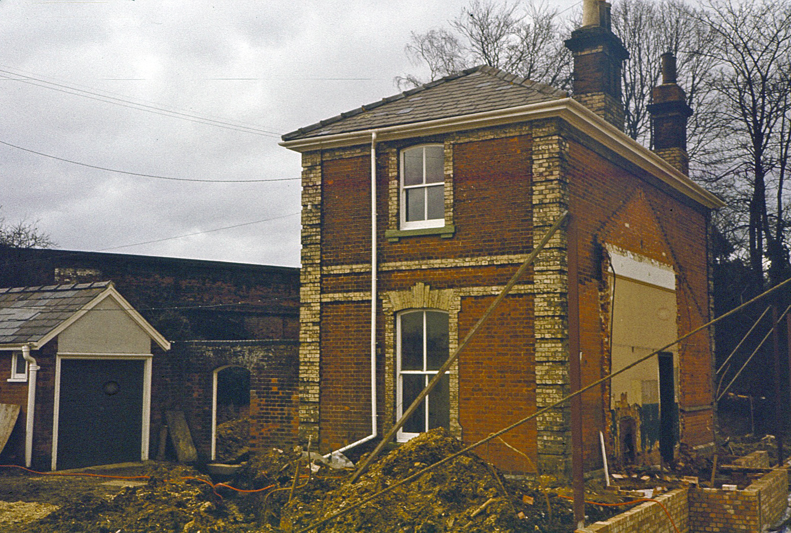
Lavenham railway station
Lavenham railway station was a station in Lavenham, Suffolk, on the Long Melford–Bury St Edmunds branch line. It closed to passengers in 1961, and the...

Lavenham Guildhall
Lavenham Guildhall is a timber-framed municipal building in Lavenham, Suffolk, England. It is Grade I listed. == History == By the late 14th century, Lavenham...

Lavenham
Lavenham is a village, civil parish and electoral ward in the Babergh district, in the county of Suffolk, England. It is noted for its Guildhall, Little...
St Peter and St Paul's Church, Lavenham
St Peter and St Paul's Church, Lavenham is a Grade I listed parish church in the Church of England in Lavenham, Suffolk. It is a notable wool church and...
Lavenham Priory
Lavenham Priory is a 13th-century Grade I listed building in Lavenham, Suffolk, England.Aubrey de Vere I was the Lord of the Manor, according to the Domesday...

The Railway Walks
The Railway Walks is a 25.3 hectare Local Nature Reserve which runs along parts of a former railway line between Sudbury and Lavenham in Suffolk. It is...

Rooksey Green
Rooksey Green is a hamlet in the parish of Preston St Mary, in the Babergh District in the English county of Suffolk. == Other nearby settlements == Other...

Lineage Wood & Railway Track, Long Melford
Lineage Wood & Railway Track, Long Melford is a 78.7-hectare (194-acre) biological Site of Special Scientific Interest north-east of Long Melford in Suffolk...
Nearby Amenities
Located within 500m of 52.11389,0.790255Have you been to Lavenham?
Leave your review of Lavenham below (or comments, questions and feedback).