Brookside

Settlement in Derbyshire Chesterfield

England

Brookside

Car park at Morrison's supermarket Chesterfield
Car park at Morrison's supermarket Chesterfield Credit: Rod Allday

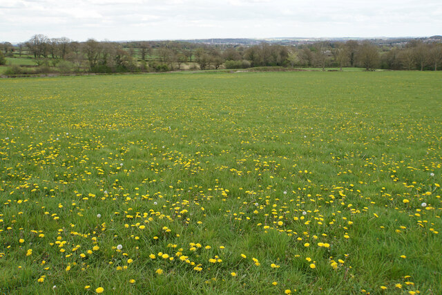
Brookside is a picturesque village located in Derbyshire, England. Situated in the heart of the Peak District National Park, it offers breathtaking views of the surrounding countryside and is renowned for its natural beauty. With a population of around 500 residents, it retains a small, close-knit community atmosphere.

The village is characterized by its traditional stone cottages and charming rural architecture, which adds to its timeless appeal. The area is rich in history, with evidence of human habitation dating back to the Roman times. Brookside is also known for its proximity to the historic Chatsworth House, a magnificent stately home and gardens that attracts visitors from far and wide.

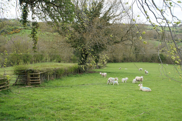
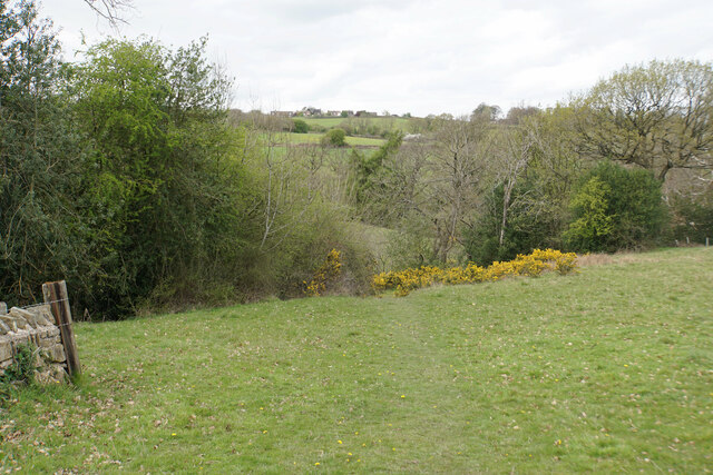
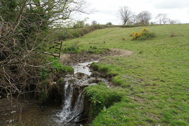
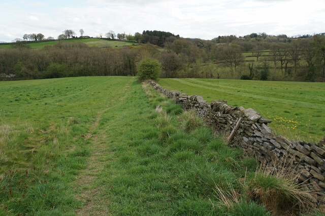
Nature enthusiasts are drawn to Brookside for its abundance of outdoor recreational opportunities. The Peak District offers countless trails and paths for hiking and cycling, allowing visitors to explore the stunning landscapes and discover hidden gems along the way. Additionally, the nearby River Derwent provides opportunities for fishing and boating.

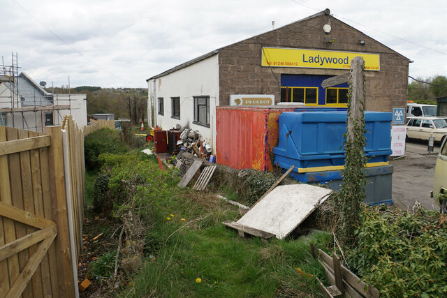
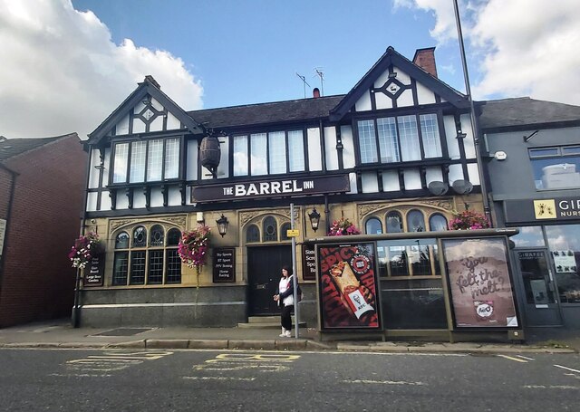
The village is well-served by amenities, including a local pub, a primary school, and a post office. It also benefits from excellent transport links, with regular bus services connecting it to the neighboring towns and cities.

Overall, Brookside is a tranquil and idyllic village that offers a perfect escape from the hustle and bustle of city life. Its natural beauty, rich history, and welcoming community make it a truly special place to visit or call home.

If you have any feedback on the listing, please let us know in the comments section below.
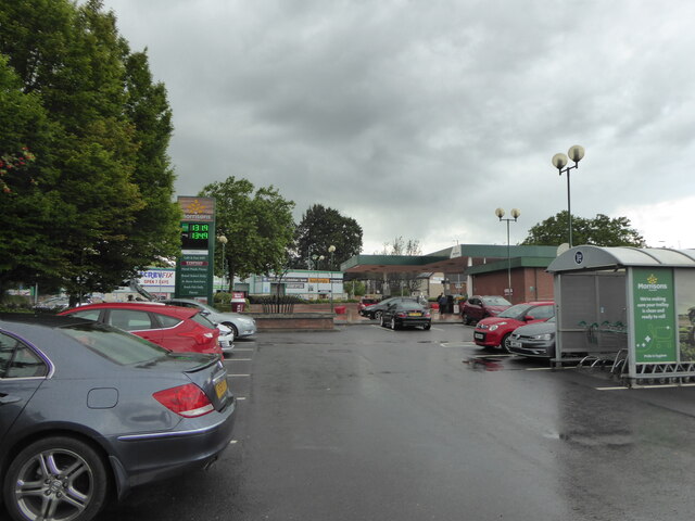
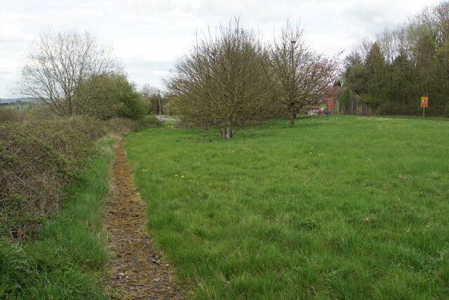
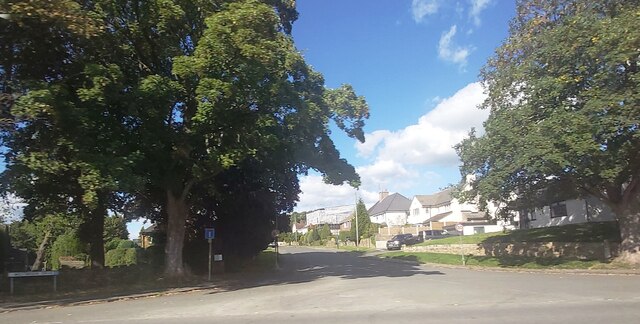
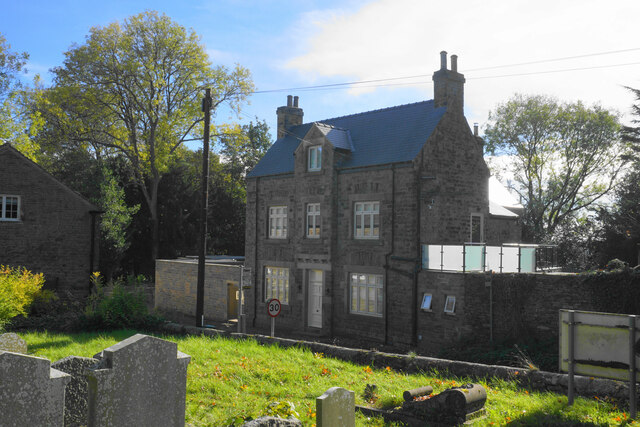
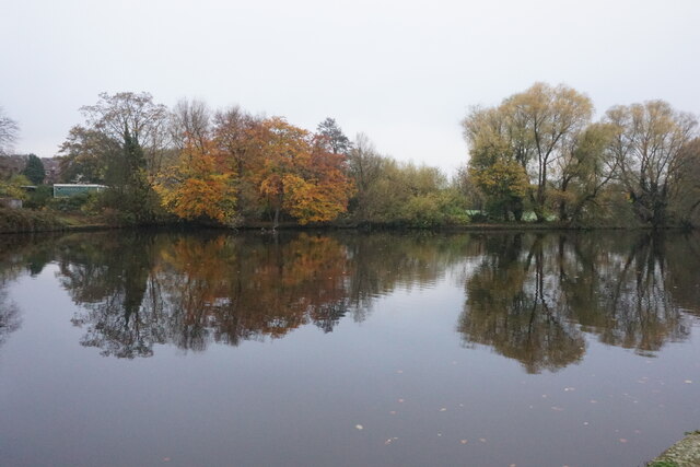
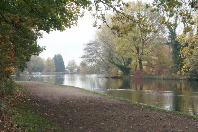
Brookside Images

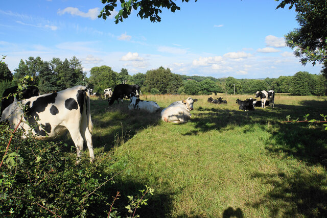
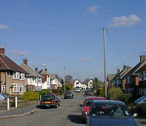
Images are sourced within 2km of 53.23073/-1.475641 or Grid Reference SK3570. Thanks to Geograph Open Source API. All images are credited.

Car park at Morrison's supermarket Chesterfield
Loundsley Green, 12-15 Chiltern Court OS BM on 12-15 Chiltern Court

Sk3637 7190
Loundsley Green, 12-15 Chiltern Court
OS BM on 12-15 Chiltern Court Sk3637 7190
Former course of the A619 The road from Chesterfield to Baslow used to be bendier on this side of the hill, but many of the bends have been lessened. The new road runs to the right in this image where the road signs are.
Former course of the A619
The road from Chesterfield to Baslow used to be bendier on this side of the hill, but many of the bends have been lessened. The new road runs to the right in this image where the road signs are.
Lambs with their mothers near Ladywood Farm The valley behind carries a tributary of the River Hipper.
Lambs with their mothers near Ladywood Farm
The valley behind carries a tributary of the River Hipper.
Footpath to Old Brampton Perhaps not the most scenic start for the path as it leaves the A619.
Footpath to Old Brampton
Perhaps not the most scenic start for the path as it leaves the A619.
Footpath to Old Brampton The path has just left Westwick Lane. It descends to a brook, then climbs to Old Brampton which can be seen at the top of the hill.
Footpath to Old Brampton
The path has just left Westwick Lane. It descends to a brook, then climbs to Old Brampton which can be seen at the top of the hill.
Brook below Frithhallwood Farm A footpath crosses this brook. It is fine at the moment, but could be a challenge in the winter months when the mud is wet and soft.
Brook below Frithhallwood Farm
A footpath crosses this brook. It is fine at the moment, but could be a challenge in the winter months when the mud is wet and soft.
Footpath towards Chanderhill Two brooks are crossed in the valley bottom before the path climbs the other side.
Footpath towards Chanderhill
Two brooks are crossed in the valley bottom before the path climbs the other side.
Field of dandelions near Old Brampton From this field you can see down to Chesterfield with its crooked spire.
Field of dandelions near Old Brampton
From this field you can see down to Chesterfield with its crooked spire.
The Barrel Inn - Chesterfield
Chatsworth Road Medical Centre
Ladywoods Garage
Ladywoods Garage
Westbrook Drive - Brookside
The former George & Dragon Once the village pub but now a private residence. It is viewed from the churchyard.
The former George & Dragon
Once the village pub but now a private residence. It is viewed from the churchyard.
Walton Dam A reservoir constructed to power a former corn mill. It is now a pleasant enclave amongst a lot of new housing in Walton.
Walton Dam
A reservoir constructed to power a former corn mill. It is now a pleasant enclave amongst a lot of new housing in Walton.
Path by Walton Dam A pleasant place for residents of Brampton and Walton, by the side of a former mill reservoir in the valley of the River Hipper. Autumn mist is still lingering into the afternoon.
Path by Walton Dam
A pleasant place for residents of Brampton and Walton, by the side of a former mill reservoir in the valley of the River Hipper. Autumn mist is still lingering into the afternoon.
Towards Holmebrook Park from Chesterfield A walk from Chesterfield Market Square to Holmebrook Valley Park.
Towards Holmebrook Park from Chesterfield
A walk from Chesterfield Market Square to Holmebrook Valley Park.
Cattle by Matlock Road On the outskirts of the Chesterfield conurbation.
Cattle by Matlock Road
On the outskirts of the Chesterfield conurbation.
Show me another place!

Brookside is located at Grid Ref: SK3570 (Lat: 53.23073, Lng: -1.475641)

Administrative County: Derbyshire

District: Chesterfield

Police Authority: Derbyshire

What 3 Words

///situated.perfectly.enacted. Near Walton, Derbyshire

Nearby Locations

Brookside

Related Wikis

Brookfield Community School, Chesterfield

Brookfield Community School is an academy school located on Chatsworth Road (A619) in the west of Chesterfield, Derbyshire. The school's most recent Ofsted...

Somersall Hall

Somersall Hall is a small country house near Brampton, Chesterfield, Derbyshire. It is a Grade II listed building.The Clarke family owned the estate in...

Brampton, Derbyshire

Brampton is a suburb in the west of Chesterfield, Derbyshire. Originally a village known as New Brampton and separate from the town, it became absorbed...

Ashgate, Derbyshire

Ashgate is an area in northeast Derbyshire, England, west of the town of Chesterfield. It is close to the town centre and local amenities. A leading place...

Nearby Amenities

Located within 500m of 53.23073,-1.475641
Traffic Signals
Crossing: no
Traffic Signals Direction: forward
Lat/Long: 53.2309554/-1.4703662
Brookside
Is In: Chesterfield, Derbyshire, England, UK
Place: suburb
Lat/Long: 53.2319703/-1.4766523
Access: private
Barrier: bollard
Foot: yes
Horse: no
Motor Vehicle: no
Motorcycle: yes
Lat/Long: 53.2313417/-1.4688548
Entrance: main
Lat/Long: 53.2311838/-1.4706647
Barrier: kissing_gate
Foot: yes
Lat/Long: 53.2338459/-1.4781005
Turning Circle
Lat/Long: 53.2292284/-1.4690566
Turning Circle
Lat/Long: 53.2324945/-1.4780359
Turning Circle
Lat/Long: 53.2331963/-1.4787849
Turning Circle
Lat/Long: 53.2298487/-1.4727344
Post Box
Brand: Royal Mail
Brand Wikidata: Q638098
Brand Wikipedia: en:Royal Mail
Collection Times: Mo-Fr 09:00; Sa 07:00
Operator: Royal Mail
Operator Wikidata: Q638098
Post Box Type: wall
Postal Code: S40 3JY
Ref: S40 197D
Royal Cypher: GR
Royal Cypher Wikidata: Q33102273
Lat/Long: 53.2308421/-1.4700075
Post Box
Brand: Royal Mail
Brand Wikidata: Q638098
Brand Wikipedia: en:Royal Mail
Collection Times: Mo-Fr 09:00; Sa 07:00
Operator: Royal Mail
Operator Wikidata: Q638098
Post Box Type: wall
Postal Code: S40 3PB
Ref: S40 94D
Royal Cypher: EVIIR
Royal Cypher Wikidata: Q33102324
Lat/Long: 53.2314429/-1.4761824
Bus Stop
Somersall Close
Bus: yes
Ele: 100.8232422
Public Transport: platform
Lat/Long: 53.2281132/-1.4707415
Bench
Ele: 107.0716553
Lat/Long: 53.2306945/-1.4697116
Ele: 107.0716553
Removed Amenity: telephone
Lat/Long: 53.2307331/-1.469894
Bus Stop
Somersall Willows
Bus: yes
Ele: 109.2347412
Public Transport: platform
Lat/Long: 53.2298286/-1.4711824
Bus Stop
Proctor's Nurseries
Bus: yes
Ele: 111.0000000
Naptan AtcoCode: 1000DBCP7716
Naptan NaptanCode: dbsjadtg
Public Transport: platform
Lat/Long: 53.2308863/-1.4828144
Bus Stop
Proctor's Nurseries
Bus: yes
Ele: 109.0000000
Public Transport: platform
Lat/Long: 53.2311528/-1.4821331
Ele: 102.0000000
Removed Amenity: telephone
Lat/Long: 53.2314739/-1.4786892
Ele: 98
Lat/Long: 53.2277965/-1.4740469
Ele: 97
Lat/Long: 53.2280047/-1.4740772
Ele: 98
Lat/Long: 53.228448/-1.4749878
Ele: 98
Lat/Long: 53.2294898/-1.4760266
Ele: 99
Lat/Long: 53.229756/-1.4761933
Ele: 98
Lat/Long: 53.2297905/-1.4762067
Traffic Calming: island
Lat/Long: 53.2314004/-1.4786331
Ele: 97
Lat/Long: 53.2276326/-1.4709105
Ele: 97
Lat/Long: 53.227517/-1.4709347
Barrier: stile
Steps: 1
Stile: stepover
Lat/Long: 53.2334019/-1.4810805
Barrier: stile
Steps: 1
Stile: stepover
Lat/Long: 53.233415/-1.4811074
Description: Mobile phone mast
Man Made: tower
Tower Construction: lattice
Tower Type: communication
Lat/Long: 53.2329923/-1.4744323
Barrier: stile
Steps: 0
Stile: stepover
Lat/Long: 53.233281/-1.4806541
Bus Stop
Brookfield Avenue
Bus: yes
Naptan AtcoCode: 1000DBCB7712
Naptan NaptanCode: dbsagpgp
Public Transport: platform
Lat/Long: 53.2315296/-1.4740414
Bus Stop
Brookside Bar
Bus: yes
Naptan AtcoCode: 100000008426
Naptan NaptanCode: dbsdwmpj
Public Transport: platform
Lat/Long: 53.2313145/-1.4791699
Bus Stop
Brookfield Community School
Bus: yes
Public Transport: platform
Lat/Long: 53.2307502/-1.4697887
Barrier: kissing_gate
Lat/Long: 53.2337911/-1.478116
Crossing
Crossing: uncontrolled
Lat/Long: 53.2272353/-1.4709394
Access: private
Barrier: lift_gate
Lat/Long: 53.2318192/-1.4685374
Entrance: yes
Lat/Long: 53.2317911/-1.470216
Entrance: main
Lat/Long: 53.2313676/-1.4703632
Crossing
Button Operated: yes
Crossing: traffic_signals
Crossing Island: no
Crossing Ref: pelican
Tactile Paving: yes
Lat/Long: 53.2309787/-1.4704456
Entrance: main
Lat/Long: 53.2328237/-1.4742805
Entrance: emergency
Lat/Long: 53.2329292/-1.4742495
Generator Method: photovoltaic
Generator Output Electricity: yes
Generator Source: solar
Generator Type: solar_photovoltaic_panel
Location: roof
Power: generator
Lat/Long: 53.2306326/-1.4794653
Generator Method: photovoltaic
Generator Output Electricity: yes
Generator Source: solar
Generator Type: solar_photovoltaic_panel
Location: roof
Power: generator
Lat/Long: 53.2289619/-1.4785815
Generator Method: photovoltaic
Generator Output Electricity: yes
Generator Source: solar
Generator Type: solar_photovoltaic_panel
Location: roof
Power: generator
Lat/Long: 53.2304362/-1.4806502
Generator Method: photovoltaic
Generator Output Electricity: yes
Generator Source: solar
Generator Type: solar_photovoltaic_panel
Location: roof
Power: generator
Lat/Long: 53.2303197/-1.4808207
Generator Method: photovoltaic
Generator Output Electricity: yes
Generator Source: solar
Generator Type: solar_photovoltaic_panel
Location: roof
Power: generator
Lat/Long: 53.2302127/-1.4809985
Generator Method: photovoltaic
Generator Output Electricity: yes
Generator Source: solar
Generator Type: solar_photovoltaic_panel
Location: roof
Power: generator
Lat/Long: 53.2301319/-1.4812024
Generator Method: photovoltaic
Generator Output Electricity: yes
Generator Source: solar
Generator Type: solar_photovoltaic_panel
Location: roof
Power: generator
Lat/Long: 53.2304086/-1.4811345
Generator Method: photovoltaic
Generator Output Electricity: yes
Generator Source: solar
Generator Type: solar_photovoltaic_panel
Location: roof
Power: generator
Lat/Long: 53.2332454/-1.4800661
Generator Method: photovoltaic
Generator Output Electricity: yes
Generator Source: solar
Generator Type: solar_photovoltaic_panel
Location: roof
Power: generator
Lat/Long: 53.2322503/-1.4777996
Generator Method: photovoltaic
Generator Output Electricity: yes
Generator Source: solar
Generator Type: solar_photovoltaic_panel
Location: roof
Power: generator
Lat/Long: 53.2320006/-1.47591
Generator Method: photovoltaic
Generator Output Electricity: yes
Generator Source: solar
Generator Type: solar_photovoltaic_panel
Location: roof
Power: generator
Lat/Long: 53.2319444/-1.476771
Generator Method: photovoltaic
Generator Output Electricity: yes
Generator Source: solar
Generator Type: solar_photovoltaic_panel
Location: roof
Power: generator
Lat/Long: 53.23161/-1.471774
Generator Method: photovoltaic
Generator Output Electricity: yes
Generator Source: solar
Generator Type: solar_photovoltaic_panel
Location: roof
Power: generator
Lat/Long: 53.2311339/-1.4740253
Generator Method: photovoltaic
Generator Output Electricity: yes
Generator Source: solar
Generator Type: solar_photovoltaic_panel
Location: roof
Power: generator
Lat/Long: 53.2305311/-1.4684101
Traffic Signals
Crossing: no
Traffic Signals Direction: backward
Lat/Long: 53.2309908/-1.4704902
Bus Stop
Brookside Bar
Bus: yes
Naptan AtcoCode: 1000DBCB7715
Naptan NaptanCode: dbsagpgw
Public Transport: platform
Lat/Long: 53.2314524/-1.4798927
Bus Stop
Brookfield Avenue
Bus: yes
Naptan AtcoCode: 1000DBCB7713
Naptan NaptanCode: dbsagpgt
Public Transport: platform
Lat/Long: 53.2316226/-1.4737371
Bus Stop
Brookfield Community School
Bus: yes
Naptan AtcoCode: 1000DBC07711
Naptan NaptanCode: dbsagmam
Public Transport: platform
Lat/Long: 53.2309169/-1.4698049
Bus Stop
Somersall Willows
Bus: yes
Naptan AtcoCode: 1000DSSS7536
Naptan NaptanCode: dbsgwapm
Public Transport: platform
Lat/Long: 53.2301423/-1.4711715
Turning Circle
Lat/Long: 53.2321773/-1.4733691
The data included in this document is from www.openstreetmap.org. The data is made available under ODbL.

Have you been to Brookside?

Leave your review of Brookside below (or comments, questions and feedback).