Langton Long Blandford

Civil Parish in Dorset North Dorset

England

Langton Long Blandford

Hill Top Roundabout A350/A354
Hill Top Roundabout A350/A354 Credit: Paul Barnett

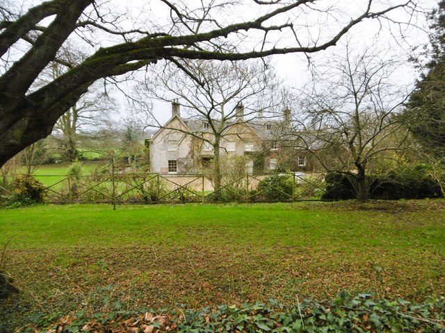
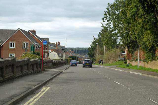
Langton Long Blandford is a civil parish located in the county of Dorset, England. It is situated approximately 4 miles northwest of the town of Blandford Forum and covers an area of around 2 square miles. The parish is primarily rural, characterized by rolling countryside, farmlands, and scattered residential properties.

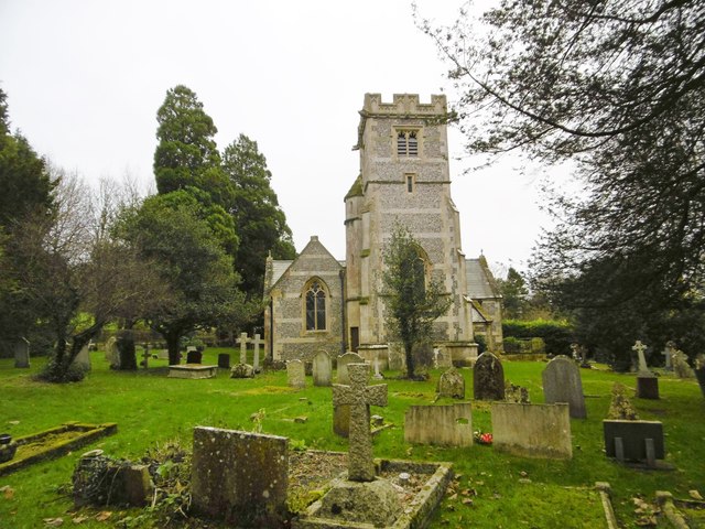
The village of Langton Long Blandford itself is small and picturesque, with a population of just over 100 residents. It has a quaint and charming atmosphere, with traditional stone cottages and historic buildings adding to its appeal. The village is centered around St. James' Church, a beautiful 12th-century building that serves as a focal point for the community.

The surrounding countryside offers stunning views and is a popular destination for walkers and nature enthusiasts. There are several footpaths and bridleways that crisscross the area, providing opportunities to explore the scenic landscape. The River Stour also runs through the parish, offering additional recreational activities such as fishing and boating.

Despite its small size, Langton Long Blandford has a strong sense of community spirit. The village hosts various events and activities throughout the year, including a summer fete and Christmas celebrations. There is a village hall that serves as a hub for gatherings and social events.

Overall, Langton Long Blandford is a peaceful and idyllic parish, perfect for those seeking a rural lifestyle amidst beautiful natural surroundings.

If you have any feedback on the listing, please let us know in the comments section below.

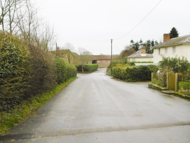
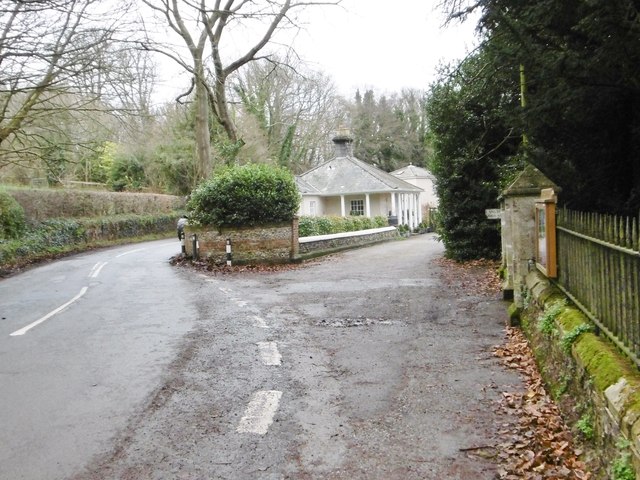
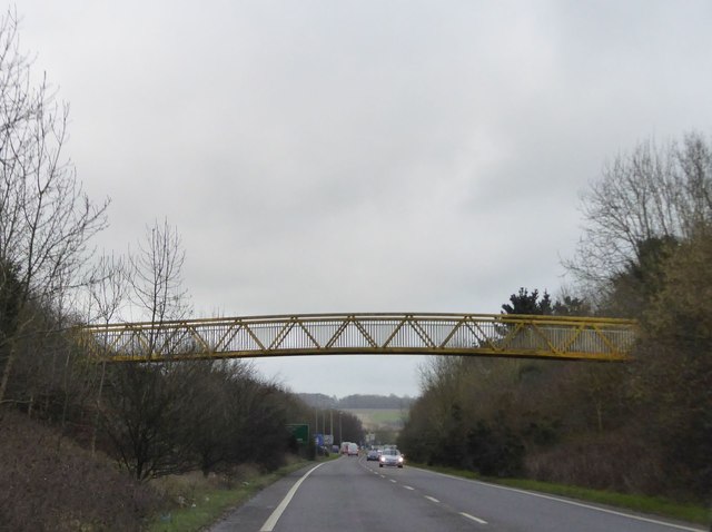
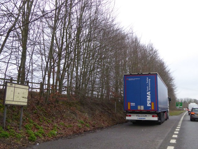
Langton Long Blandford Images

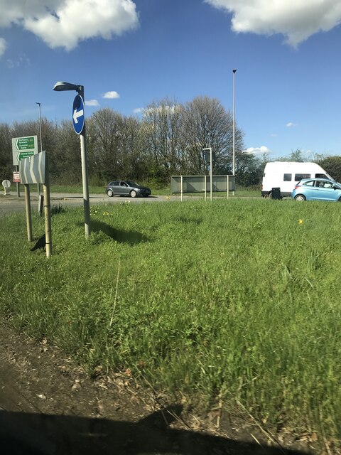
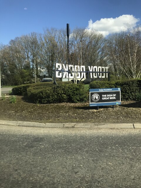
Images are sourced within 2km of 50.85726/-2.134741 or Grid Reference ST9006. Thanks to Geograph Open Source API. All images are credited.

Hill Top Roundabout A350/A354
Badger  Roundabout A350/A354
Badger Roundabout A350/A354
Langton Long, All Saints C19 parish church, listed by Historic England (Grade II): <span class="nowrap"><a title="http://www.britishlistedbuildings.co.uk/en-103723-church-of-all-saints-langton-long-blandf" rel="nofollow ugc noopener" href="http://www.britishlistedbuildings.co.uk/en-103723-church-of-all-saints-langton-long-blandf">Link</a><img style="margin-left:2px;" alt="External link" title="External link - shift click to open in new window" src="https://s1.geograph.org.uk/img/external.png" width="10" height="10"/></span>
Langton Long, All Saints
C19 parish church, listed by Historic England (Grade II): LinkExternal link
Langton Long, former rectory C18/19 former rectory, behind the parish church <a href="https://www.geograph.org.uk/photo/4766217">ST8905 : Langton Long, All Saints</a>; listed by Historic England <span class="nowrap"><a title="http://www.imagesofengland.org.uk/Details/Default.aspx?id=103722&mode=adv" rel="nofollow ugc noopener" href="http://www.imagesofengland.org.uk/Details/Default.aspx?id=103722&mode=adv">Link</a><img style="margin-left:2px;" alt="External link" title="External link - shift click to open in new window" src="https://s1.geograph.org.uk/img/external.png" width="10" height="10"/></span>
Langton Long, former rectory
C18/19 former rectory, behind the parish church ST8905 : Langton Long, All Saints; listed by Historic England LinkExternal link
Langton Long, Langton Farm
Langton Long, South Lodge Former lodge to Langton House, now private; early C19, listed by Historic England: <span class="nowrap"><a title="http://www.imagesofengland.org.uk/Details/Default.aspx?id=103724&mode=adv" rel="nofollow ugc noopener" href="http://www.imagesofengland.org.uk/Details/Default.aspx?id=103724&mode=adv">Link</a><img style="margin-left:2px;" alt="External link" title="External link - shift click to open in new window" src="https://s1.geograph.org.uk/img/external.png" width="10" height="10"/></span>
Langton Long, South Lodge
Former lodge to Langton House, now private; early C19, listed by Historic England: LinkExternal link
Footbridge over A350, Blandford Forum by-pass
Shallow cutting on A350, Blandford Forum by-pass Just north of the roundabout where the A354 joins the by-pass
Shallow cutting on A350, Blandford Forum by-pass
Just north of the roundabout where the A354 joins the by-pass
Lay-by on A354, Blandford Forum by-pass There is a tourist information sign on this small lay-by, advertising North Dorset
Lay-by on A354, Blandford Forum by-pass
There is a tourist information sign on this small lay-by, advertising North Dorset
Blandford Forum by-pass dropping into valley of River Stour The by-pass crosses the wide flood plain between roundabouts for the B3082 and A350.  The minor road on the left follows the edge of the flood plain and the by-pass is raised above the fields, hence the crash barriers
Blandford Forum by-pass dropping into valley of River Stour
The by-pass crosses the wide flood plain between roundabouts for the B3082 and A350. The minor road on the left follows the edge of the flood plain and the by-pass is raised above the fields, hence the crash barriers
Old Milestone, Salisbury Road, Blandford Forum The milestone is located outside No. 115, by the roadside, on the south side of road. Parish of Blandford Forum (North Dorset District). Carved stone post, Dorset 1 (limestone) design, erected by the Harnham, Blandford & Dorchester turnpike trust in the 19th century. 

Inscription reads:-
Blandford
1
Sarum
21

Grade II Listed, List Entry Number: 1110834
<span class="nowrap"><a title="https://historicengland.org.uk/listing/the-list/list-entry/1110834" rel="nofollow ugc noopener" href="https://historicengland.org.uk/listing/the-list/list-entry/1110834">Link</a><img style="margin-left:2px;" alt="External link" title="External link - shift click to open in new window" src="https://s1.geograph.org.uk/img/external.png" width="10" height="10"/></span>

Milestone Society National ID: DO_BFSA01
Old Milestone, Salisbury Road, Blandford Forum
The milestone is located outside No. 115, by the roadside, on the south side of road. Parish of Blandford Forum (North Dorset District). Carved stone post, Dorset 1 (limestone) design, erected by the Harnham, Blandford & Dorchester turnpike trust in the 19th century. Inscription reads:- Blandford 1 Sarum 21 Grade II Listed, List Entry Number: 1110834 LinkExternal link Milestone Society National ID: DO_BFSA01
'The Dolphin', Blandford Forum
Blandford viaduct, River Stour floodplain
Remains of Somerset and Dorset railway bridge over River Stour
A354 Salisbury Road Entering the outskirts of Blandford Forum.
A354 Salisbury Road
Entering the outskirts of Blandford Forum.
Salisbury Road, Blandford Forum Heading towards the town centre.
Salisbury Road, Blandford Forum
Heading towards the town centre.
Salisbury Road, Blandford Forum Heading towards the old town.
Salisbury Road, Blandford Forum
Heading towards the old town.
Damory Street, Blandford Forum Part of the town centre one way system.
Damory Street, Blandford Forum
Part of the town centre one way system.
Show me another place!

Langton Long Blandford is located at Grid Ref: ST9006 (Lat: 50.85726, Lng: -2.134741)

Administrative County: Dorset

District: North Dorset

Police Authority: Dorset

What 3 Words

///altitude.paramedic.with. Near Blandford Forum, Dorset

Related Wikis

Langton Long Blandford

Langton Long Blandford is a small village and civil parish in the county of Dorset in southern England. It is sited by the River Stour, approximately 3...

Buzbury Rings

Buzbury Rings is an Iron Age hillfort about 2 miles (3.2 km) east of Blandford Forum and 1 mile (1.6 km) northwest of the village of Tarrant Keyneston...

Royal Signals Museum

The Royal Signals Museum is a military museum based at Blandford Camp in the civil parish of Tarrant Monkton, northwest of the town of Blandford Forum...

Blandford Camp

Blandford Camp is a military base comprising some 390 hectares of downland lying 2 miles (3 km) north-east of Blandford Forum in the county of Dorset in...

Defence School of Communications and Information Systems

The Defence School of Communications and Information Systems (DSCIS) is a Defence Training Establishment of the British Ministry of Defence. It was formed...

Blandford Forum railway station

Blandford Forum railway station was a station on the Somerset & Dorset Joint Railway which served the town of Blandford Forum. == History == Originally...

Coombs Ditch Hundred

Coombs Ditch Hundred was a hundred in the county of Dorset, England, containing the following parishes: Anderson Blandford Forum (borough from 1605) Blandford...

Pump House, Blandford Forum

The Pump House, Blandford Forum, Dorset, England, is an 18th-century water source erected in 1760 in commemoration of a fire which almost destroyed the...

Nearby Amenities

Located within 500m of 50.85726,-2.134741
Power: tower
Source: bing
Lat/Long: 50.854011/-2.1335126
Power: tower
Source: bing
Lat/Long: 50.8562267/-2.1348068
Power: tower
Source: bing
Lat/Long: 50.8574224/-2.1354779
Power: tower
Source: bing
Lat/Long: 50.8596035/-2.1365876
Power: tower
Source: bing
Lat/Long: 50.8614369/-2.1373206
The data included in this document is from www.openstreetmap.org. The data is made available under ODbL.

Have you been to Langton Long Blandford?

Leave your review of Langton Long Blandford below (or comments, questions and feedback).