Langton
Civil Parish in Durham
England
Langton

Langton is a civil parish situated in the county of Durham, England. It is located approximately 8 miles southwest of the city of Durham and covers an area of around 4 square miles. The parish is predominantly rural, with picturesque landscapes and a tranquil atmosphere.
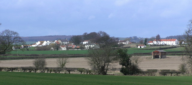
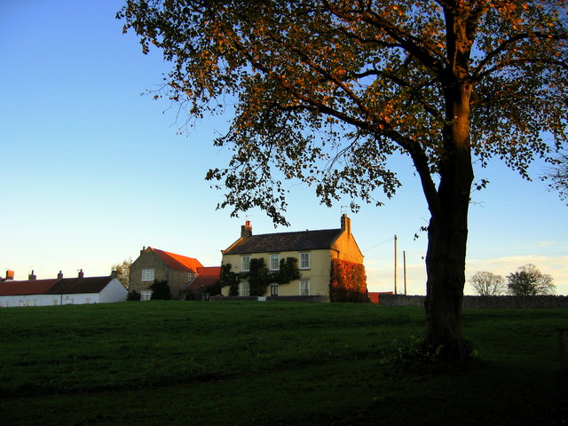
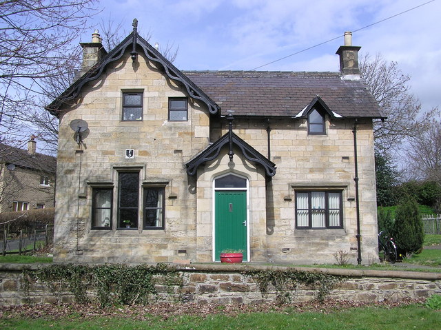
The village of Langton itself is small and charming, with a population of around 400 residents. It has a rich history, dating back to medieval times, and is known for its traditional architecture, including a number of well-preserved stone cottages and a historic church, St. Giles. The church is a prominent feature in the village, with its tall spire and stained glass windows.
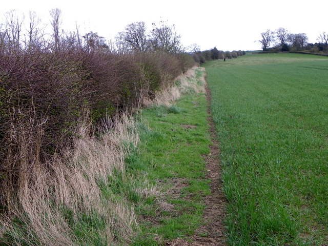
The parish is surrounded by rolling hills and farmland, providing a scenic backdrop for outdoor activities such as hiking and cycling. The area is also home to a variety of wildlife, including birds, deer, and other native species, making it popular among nature enthusiasts.
Langton is well connected to nearby towns and cities, with good transport links including several bus routes and major roads. The village has limited amenities, with a small shop and a community hall, but residents have access to a wider range of services and facilities in the nearby towns.
Overall, Langton offers a peaceful and idyllic setting, perfect for those seeking a rural lifestyle with easy access to urban areas. Its historical charm, natural beauty, and close-knit community make it a desirable place to live or visit.
If you have any feedback on the listing, please let us know in the comments section below.
Langton Images
Images are sourced within 2km of 54.570325/-1.755452 or Grid Reference NZ1519. Thanks to Geograph Open Source API. All images are credited.


Langton is located at Grid Ref: NZ1519 (Lat: 54.570325, Lng: -1.755452)
Unitary Authority: County Durham
Police Authority: Durham
What 3 Words
///perfect.reddish.lightens. Near Ingleton, Co. Durham
Nearby Locations
Related Wikis
Langton, County Durham
Langton is a village and civil parish in County Durham, in England. It is situated to the west of Darlington, near Headlam and Ingleton. The population...

Ingleton, County Durham
Ingleton is a village and civil parish in County Durham, England. The population of the parish (which includes Headlam and Langton) as taken at the 2011...

Hilton, County Durham
Hilton is a village and civil parish in County Durham, about 9 miles (14 km) northwest of Darlington. Nearby places are Ingleton and Staindrop. The 2011...

Headlam Hall
Headlam Hall is a 17th-century country house at The Green, Headlam, near Gainford, County Durham, England. It is a Grade II* listed building now in use...
Headlam
Headlam is a village in the borough of Darlington and the ceremonial county of County Durham, England. It lies to the west of Darlington. The population...

Winston railway station
Winston railway station served the village of Winston, County Durham, England, from 1856 to 1965 on the Darlington and Barnard Castle Railway. == History... ==
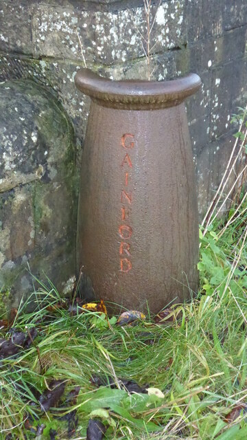
Gainford railway station
Gainford railway station is a disused station in Gainford, County Durham, North East England, on the Darlington and Barnard Castle Railway. On 24 October...

Gainford Hall
Gainford Hall is a privately owned Jacobean manor house at Gainford, County Durham. It is a Grade I listed building but as of 2014 is registered as a Building...
Have you been to Langton?
Leave your review of Langton below (or comments, questions and feedback).