Langsett

Civil Parish in Yorkshire Barnsley

England

Langsett

Hordron, near Langsett, lots of heather
Hordron, near Langsett, lots of heather Credit: Dave Pickersgill

Langsett is a civil parish located in the metropolitan county of South Yorkshire, England. Situated within the district of Barnsley, Langsett is a small rural village nestled in the heart of the Peak District National Park. It is positioned approximately 10 miles northwest of the market town of Barnsley and 16 miles southwest of the city of Sheffield.

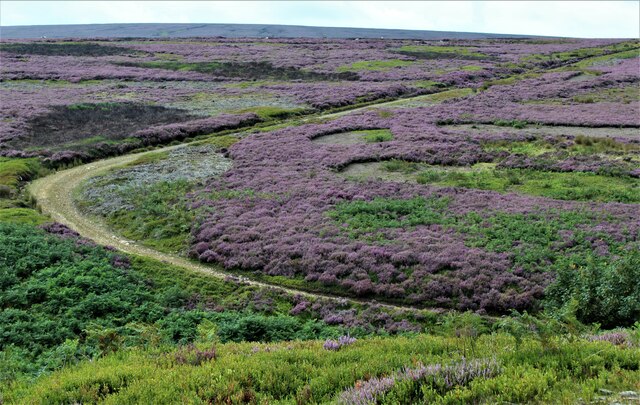
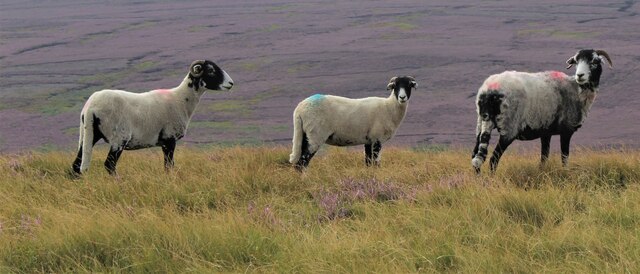
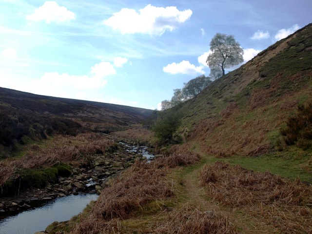
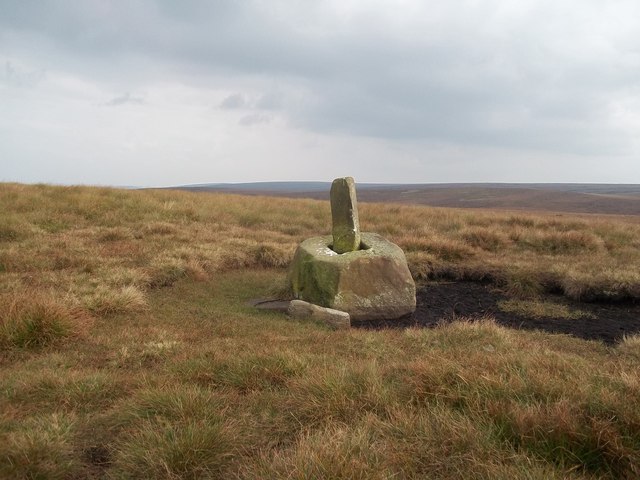
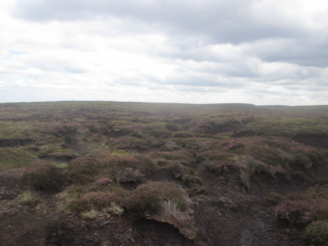
The village is known for its picturesque surroundings, with rolling hills, moorland, and dense woodlands, making it a popular destination for outdoor enthusiasts and nature lovers. The Langsett Reservoir, a man-made lake constructed in the mid-19th century, is a prominent feature that attracts visitors for its scenic beauty and tranquil atmosphere.

Langsett is also renowned for its historic inn, the Langsett Inn, which has been serving locals and tourists since the 18th century. The inn offers a warm and friendly atmosphere along with traditional Yorkshire hospitality and serves a variety of locally sourced food and drinks.

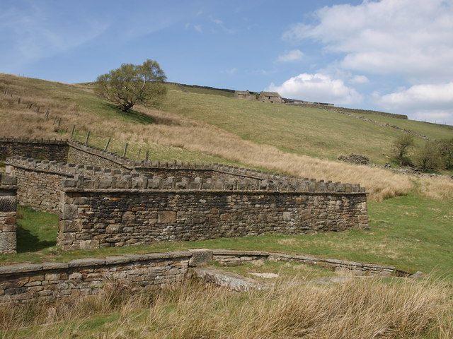
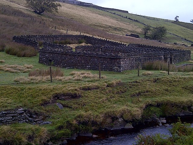
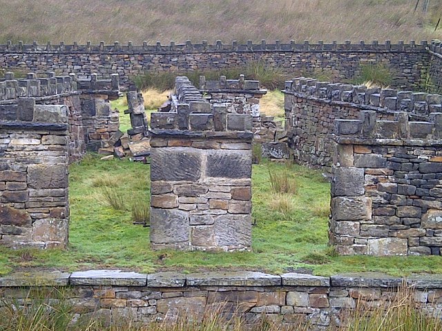
Despite its small size, Langsett has a rich history with evidence of human habitation dating back to the Bronze Age. The village was once a thriving hub for the textile industry, with several mills and factories operating in the area during the 19th century.

Today, Langsett remains a close-knit community with a population of around 150 residents. It offers a peaceful and idyllic setting for those seeking a rural retreat, while still being within close proximity to larger towns and cities for amenities and services.

If you have any feedback on the listing, please let us know in the comments section below.
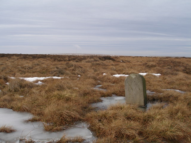
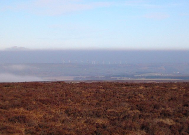
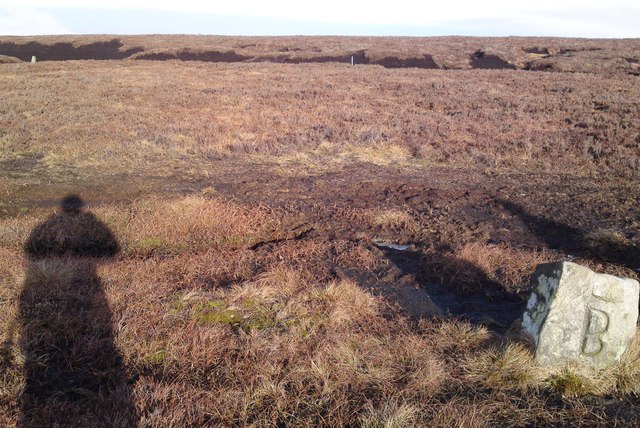
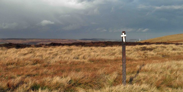
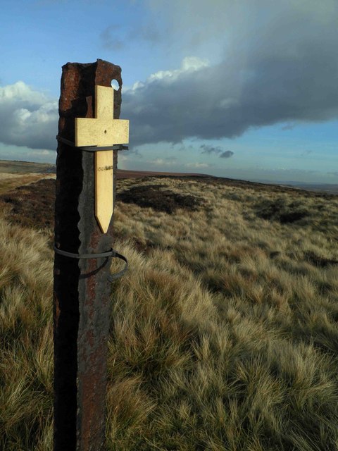
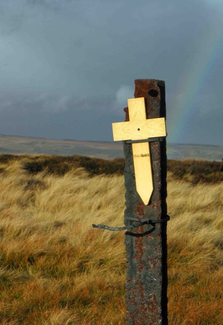
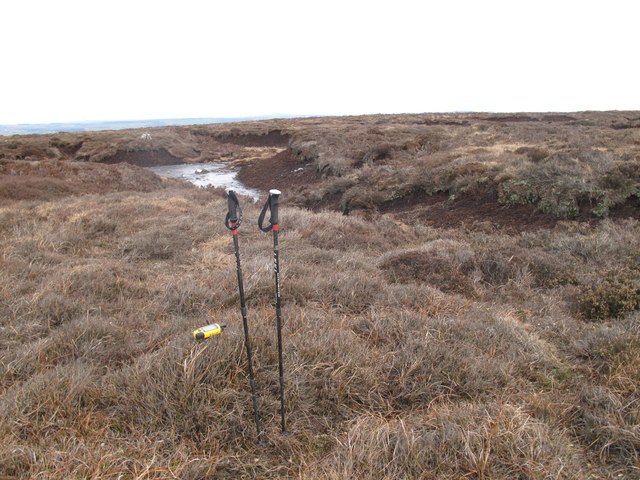
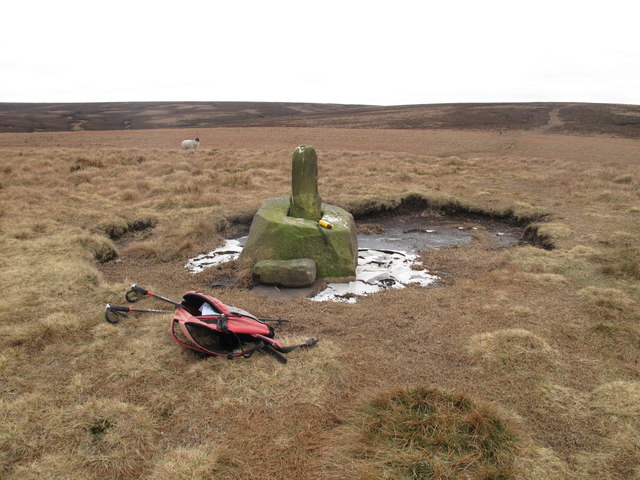
Langsett Images

Images are sourced within 2km of 53.493555/-1.749451 or Grid Reference SK1699. Thanks to Geograph Open Source API. All images are credited.

Hordron, near Langsett, lots of heather
Sheep on the moors
Sheep on the moors
Lady Cross above Woodhead This ancient cross marked the highest point of the packhorse route over the moors above Woodhead.
Lady Cross above Woodhead
This ancient cross marked the highest point of the packhorse route over the moors above Woodhead.
Memorial Plaque On the main Derwent Watershed path across Howden Edge is a tribute to a walker who I hope had a long and fruitful love of the hills as I do.
Memorial Plaque
On the main Derwent Watershed path across Howden Edge is a tribute to a walker who I hope had a long and fruitful love of the hills as I do.
Looking back The Little Don valley in this area is a lovely area to walk. There are paths everywhere, none of which are marked on the OS Maps. Like any area you need to know where the paths are from experience.
Looking back
The Little Don valley in this area is a lovely area to walk. There are paths everywhere, none of which are marked on the OS Maps. Like any area you need to know where the paths are from experience.
Quality Stonework The sheep pen and dip in the foreground are stunning in their construction. There is another, almost identical one near Hazlehead on by the Trans Pennine Trail in Wogden Clough (GR.SE183027). It is a shame that Hordron Farm in the background is disused and starting to decay.
Quality Stonework
The sheep pen and dip in the foreground are stunning in their construction. There is another, almost identical one near Hazlehead on by the Trans Pennine Trail in Wogden Clough (GR.SE183027). It is a shame that Hordron Farm in the background is disused and starting to decay.
Sheepfold on the River Porter (Little Don River) Beautiful stonework
Sheepfold on the River Porter (Little Don River)
Beautiful stonework
Sheepfold on the River Porter (Little Don River) Beautiful stonework
Sheepfold on the River Porter (Little Don River)
Beautiful stonework
Milestone on the old road near Lady Cross
Harden Moor, looking towards Royd Moor wind farm On the border of South Yorkshire and West Yorkshire, yet not far from Derbyshire.

The A628 Woodhead road is in the dip, almost unseen although little more than a mile away. The noise of heavy traffic gives it away, breaking the silence.

On this walk we didn't meet another human for almost 5 hours.
Harden Moor, looking towards Royd Moor wind farm
On the border of South Yorkshire and West Yorkshire, yet not far from Derbyshire. The A628 Woodhead road is in the dip, almost unseen although little more than a mile away. The noise of heavy traffic gives it away, breaking the silence. On this walk we didn't meet another human for almost 5 hours.
Boundary stones  at top of Harden Clough These look quite old so pre-date the establishment of South Yorkshire. They seem to stand on the current boundary of Sheffield and Barnsley, although I suspect they originally marked either a parish or landowner's boundary.
Boundary stones at top of Harden Clough
These look quite old so pre-date the establishment of South Yorkshire. They seem to stand on the current boundary of Sheffield and Barnsley, although I suspect they originally marked either a parish or landowner's boundary.
Remembrance day On the track to Lady Cross on the Saltersbrook road (track) remembrance day crosses have been placed. See <a href="https://www.geograph.org.uk/photo/3219627">SK1599 : Moorland remembrance</a>
Remembrance day
On the track to Lady Cross on the Saltersbrook road (track) remembrance day crosses have been placed. See SK1599 : Moorland remembrance
Moorland remembrance On the track to Lady Cross on the Saltersbrook road (track) remembrance day crosses have been placed. See <a href="https://www.geograph.org.uk/photo/3219626">SK1599 : Remembrance day</a>
Moorland remembrance
On the track to Lady Cross on the Saltersbrook road (track) remembrance day crosses have been placed. See SK1599 : Remembrance day
Remembrance Cross and rainbow Remembrance crosses attached to moorland fence.
Remembrance Cross and rainbow
Remembrance crosses attached to moorland fence.
Hoar Stones - Howden Edge Climbed from A628 with easy going due to frozen ground. Small cairn and lower stone with plaque at bottom of peat hag appear close to highest point.
Barnsley current county/UA top.
Name: Hoar Stones - Howden Edge
Hill number: 5482
Height: 514m / 1686ft
Area: 36: Lancashire, Cheshire & the Southern Pennines
Class: CoU
Grid ref: SK 15852 98318
Summit feature: no feature; peat hags
Drop: 7m
Col: 507m  SK158980
Hoar Stones - Howden Edge
Climbed from A628 with easy going due to frozen ground. Small cairn and lower stone with plaque at bottom of peat hag appear close to highest point. Barnsley current county/UA top. Name: Hoar Stones - Howden Edge Hill number: 5482 Height: 514m / 1686ft Area: 36: Lancashire, Cheshire & the Southern Pennines Class: CoU Grid ref: SK 15852 98318 Summit feature: no feature; peat hags Drop: 7m Col: 507m SK158980
Lady Cross Lady Cross photoed on way to Hoar Stones and Horse Stone Naze on a cool morning.
Lady Cross
Lady Cross photoed on way to Hoar Stones and Horse Stone Naze on a cool morning.
Lady Cross Situated around 400 metres south of the A628 Road.
Lady Cross
Situated around 400 metres south of the A628 Road.
Howden Edge towards Hoar Stones
Show me another place!

Langsett is located at Grid Ref: SK1699 (Lat: 53.493555, Lng: -1.749451)

Division: West Riding

Administrative County: South Yorkshire

District: Barnsley

Police Authority: South Yorkshire

What 3 Words

///microfilm.pink.handbook. Near Penistone, South Yorkshire

Related Wikis

Dunford Bridge

Dunford Bridge is a remote hamlet in the civil parish of Dunford, lying northwest of Sheffield in South Yorkshire, England, 1.3 miles (2 km) from the...

Dunford Bridge railway station

Dunford Bridge railway station was a railway station that served the village of Dunford Bridge on the Sheffield, Ashton-under-Lyne and Manchester Railway...

Longdendale

Longdendale is a valley in the Peak District of England, north of Glossop and southwest of Holmfirth. The name means "long wooded valley" and the valley...

Winscar Reservoir

Winscar Reservoir (also known as Winscar dam), is a compensation reservoir on the headwaters of the River Don in South Yorkshire, England. The reservoir...

Dunford

Dunford is a civil parish in the Metropolitan Borough of Barnsley, 14.5 miles (23.3 km) northwest of Sheffield in South Yorkshire, England. It lies in...

Carlecotes

Carlecotes is a village in the metropolitan borough of Barnsley in South Yorkshire, England. Carlecotes is within Dunford civil parish. The village is...

Hazlehead Bridge railway station

Hazlehead Bridge railway station was a railway station on the Sheffield, Ashton-under-Lyne and Manchester Railway's Woodhead Line. It served villages scattered...

Langsett Reservoir

Langsett Reservoir is in Yorkshire, England, near the villages of Langsett and Upper Midhope, on the edge of the Peak District National Park. The reservoir...

Have you been to Langsett?

Leave your review of Langsett below (or comments, questions and feedback).