Langham

Civil Parish in Essex Colchester

England

Langham

Field north of Birchwood Road
Field north of Birchwood Road Credit: Robin Webster

Langham is a civil parish located in the county of Essex, England. It is situated approximately 26 miles northeast of the city of London and lies within the district of Colchester. Covering an area of around 9 square miles, Langham is a predominantly rural parish with a population of approximately 1,200 residents.

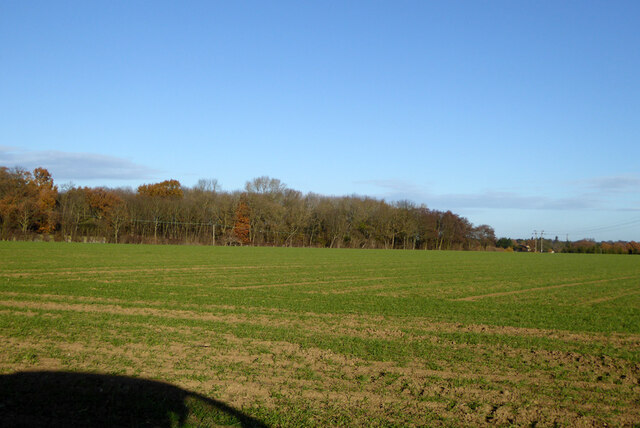
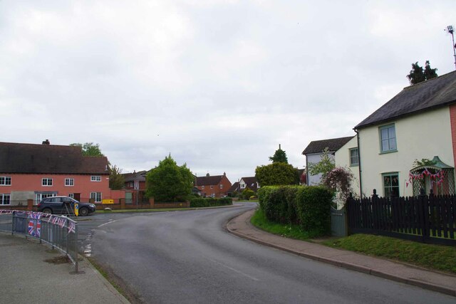
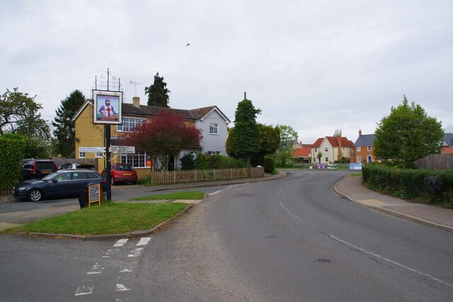
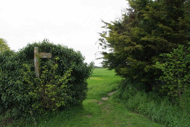
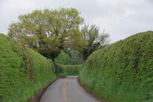
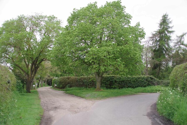
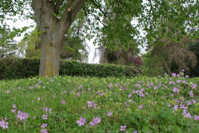
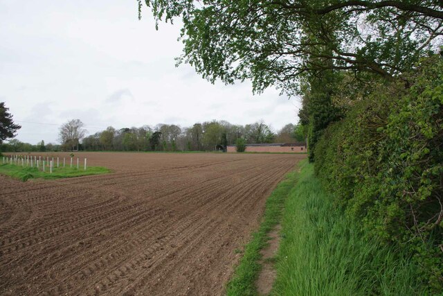
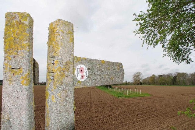
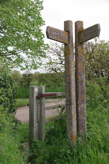
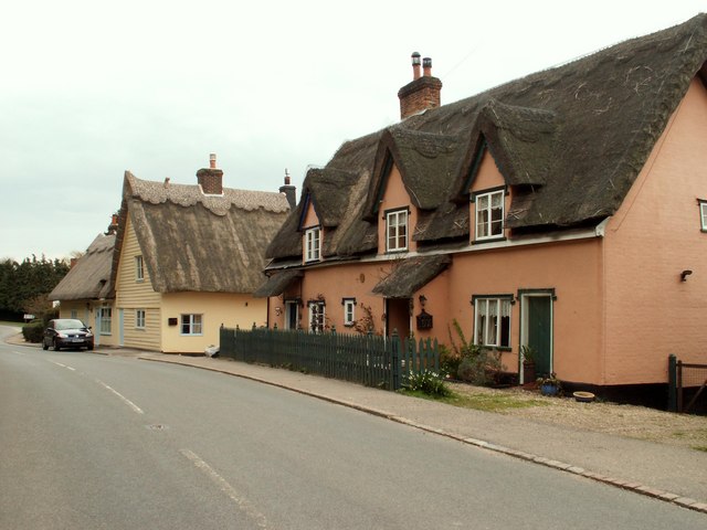
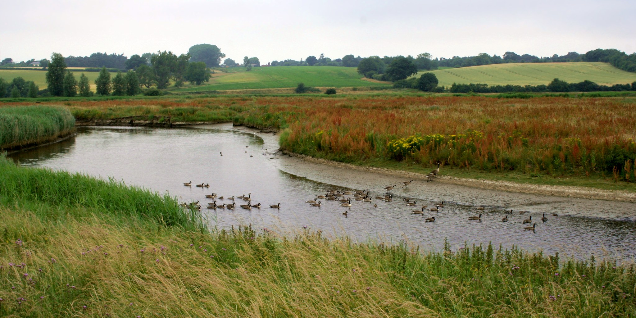
The village of Langham is known for its picturesque beauty, with charming thatched cottages, historic buildings, and well-maintained gardens. The parish is surrounded by lush green fields and rolling countryside, making it an ideal destination for nature lovers and those seeking a peaceful retreat.

Langham is home to the Grade I listed Church of St. Mary, a beautiful medieval church that dates back to the 12th century. The church features stunning architectural details and houses a number of historical artifacts. The village also has a primary school, a village hall, and a local pub, providing essential amenities for the community.

The parish is well-connected to nearby towns and cities through a network of roads and public transportation. The A12 road runs close to Langham, providing easy access to Colchester and other major cities in the region. The nearest railway station is in the nearby town of Manningtree, which offers frequent train services to London and other destinations.

Langham offers a close-knit community atmosphere, with various social and recreational activities organized by local groups and organizations. The countryside surrounding the village provides ample opportunities for outdoor pursuits such as hiking, cycling, and horse riding. Overall, Langham is a charming and tranquil parish that offers a delightful rural lifestyle within easy reach of urban amenities.

If you have any feedback on the listing, please let us know in the comments section below.
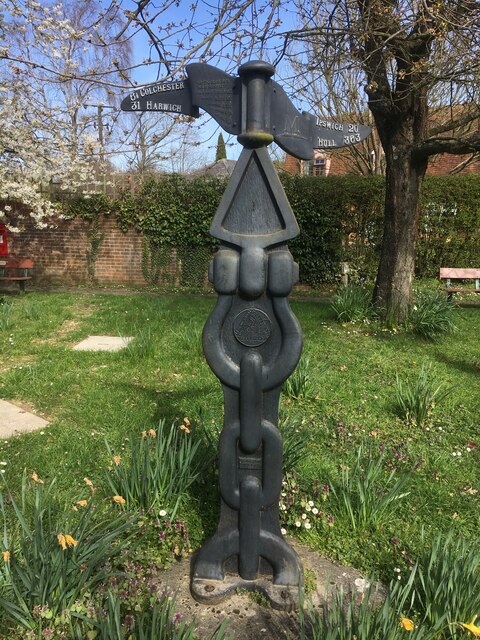
Langham Images

Images are sourced within 2km of 51.950351/0.942807 or Grid Reference TM0232. Thanks to Geograph Open Source API. All images are credited.

Field north of Birchwood Road
National Cycle Network Milestone Langham Rowe Type National Cycle Network Milepost on Route 1 in Langham, Near Colchester, Essex.

1000 Millennium cast iron mileposts were funded by the Royal Bank of Scotland to mark the creation of the National Cycle Network, and found along the cycles routes through the UK.

There are four different types of posts, "Fossil Tree" by John Mills, "The Cockerel" by Iain McColl, "Rowe Type" by Andrew Rowe, and "Tracks" by David Dudgeon. The four artists are from each country of the UK though all posts can be found in all four countries.
National Cycle Network Milestone Langham
Rowe Type National Cycle Network Milepost on Route 1 in Langham, Near Colchester, Essex. 1000 Millennium cast iron mileposts were funded by the Royal Bank of Scotland to mark the creation of the National Cycle Network, and found along the cycles routes through the UK. There are four different types of posts, "Fossil Tree" by John Mills, "The Cockerel" by Iain McColl, "Rowe Type" by Andrew Rowe, and "Tracks" by David Dudgeon. The four artists are from each country of the UK though all posts can be found in all four countries.
Towards West Lodge The lane that leads from a <a href="https://www.geograph.org.uk/photo/7476998">TM0234 : Essex & Suffolk Water Company Facility</a>
Towards West Lodge
Docura's Farm Looking across the verdant winter cereal.
Docura's Farm
Looking across the verdant winter cereal.
Langham Footpath #3 The path leads to Stratford St Mary
Langham Footpath #3
The path leads to Stratford St Mary
Footpath #3 Langham <a href="https://www.geograph.org.uk/photo/7477025">TM0233 : Langham Footpath #3</a> starts in Stratford St Mary and ends in a junction with Boxted path #15 and Langham #18 a few hundred metres from here.
Footpath #3 Langham
TM0233 : Langham Footpath #3 starts in Stratford St Mary and ends in a junction with Boxted path #15 and Langham #18 a few hundred metres from here.
Thatched Cottage at Whalebone Corner
Bridleway to Glebe Farm This is Langham path #20.
Bridleway to Glebe Farm
This is Langham path #20.
Path to Langham Hall This is Langham Footpath #2 it merges with Langham #3 and comes out in Stratford St Mary.
Path to Langham Hall
This is Langham Footpath #2 it merges with Langham #3 and comes out in Stratford St Mary.
Bunting and Boxted Cross Coronation morning in Boxted Cross
Bunting and Boxted Cross
Coronation morning in Boxted Cross
The Village Sign at Boxted Cross Taken on coronation morning.
The Village Sign at Boxted Cross
Taken on coronation morning.
Boxted Footpath # 18 This path heads for Hill Farm.
Boxted Footpath # 18
This path heads for Hill Farm.
High Hedges Near Rivers Hall
The Way to Rivers Hall The right hand fork is Sky Hall Hill. The flush of pink under the tree 
is <a href="https://www.geograph.org.uk/photo/7477285">TM0133 : Red Stem Stork's-Bill</a>
The Way to Rivers Hall
The right hand fork is Sky Hall Hill. The flush of pink under the tree is TM0133 : Red Stem Stork's-Bill
Red Stem Stork's-Bill Well that is what my phone app told me!
Red Stem Stork's-Bill
Well that is what my phone app told me!
Boxted Footpath #46 Part of the Essex Way.
Boxted Footpath #46
Part of the Essex Way.
The Essex Way A brace of concrete fingerposts at a footpath junction.
The Essex Way
A brace of concrete fingerposts at a footpath junction.
Footpath Junction at Rivers Hall This is the Junction with Boxted Footpath #46 (The Essex Way) and Boxted footpath 10 to Boxted Cross.
Footpath Junction at Rivers Hall
This is the Junction with Boxted Footpath #46 (The Essex Way) and Boxted footpath 10 to Boxted Cross.
Show me another place!

Langham is located at Grid Ref: TM0232 (Lat: 51.950351, Lng: 0.942807)

Administrative County: Essex

District: Colchester

Police Authority: Essex

What 3 Words

///commuting.willing.dean. Near Boxted, Essex

Related Wikis

Langham, Essex

Langham is a small village in the City of Colchester district of Essex, England. == History == There is little evidence of pre-Roman occupation of what...

RAF Boxted

Royal Air Force Boxted or more simply RAF Boxted is a former Royal Air Force station located 4 miles (6.4 km) north-northeast of Colchester, Essex England...

Lamb Corner

Lamb Corner is a hamlet on the B1029 road, in the civil parish of Dedham in the Colchester district, in the county of Essex, England. Lamb Corner formerly...

Dedham Vale

Dedham Vale is a designated Area of Outstanding Natural Beauty on the Essex-Suffolk border in east England. It comprises the area around the River Stour...

Nearby Amenities

Located within 500m of 51.950351,0.942807
Parking
Lat/Long: 51.9475385/0.9421956
Townhall
Langham Community Hall
Leisure: sports_centre
Lat/Long: 51.947468/0.9418363
Pub
The Shepherd
Food: yes
Garden: yes
Old Name: The Shepherd and Dog
Opening Hours: Mo-Sa 10:00-23:00; Su 10:00-17:00
Phone: +44 1206 272711
Postal Code: CO4 5NR
Source: survey;local_knowledge;website
Website: http://www.shepherdlangham.co.uk/
Lat/Long: 51.9481903/0.936832
Bus Stop
The Shepherd & Dog
Naptan AtcoCode: 1500IM2005
Naptan Bearing: NE
Naptan BusStopType: CUS
Naptan CommonName: The Shepherd & Dog
Naptan Indicator: o/s
Naptan Landmark: The Shepherd & Dog
Naptan NaptanCode: esxadmtm
Naptan Street: Moor Road
Naptan Verified: no
Public Transport: platform
Source: naptan_import
Lat/Long: 51.9480065/0.937062
Power: pole
Lat/Long: 51.9525408/0.9481879
Power: pole
Lat/Long: 51.9532154/0.9440625
Power: pole
Lat/Long: 51.9527304/0.9453601
Power: pole
Lat/Long: 51.9526466/0.9467234
Power: pole
Lat/Long: 51.9532369/0.9442557
Power: pole
Lat/Long: 51.9474294/0.9425872
Power: pole
Lat/Long: 51.9469995/0.9435742
Power: pole
Lat/Long: 51.9465829/0.9445023
Bus Stop
The Shepherd & Dog
Direction: SW
Naptan AtcoCode: 1500IM20Y5
Naptan NaptanCode: esxjmgtd
Object Street: Moor Road
Operator: Constable Coaches
Public Transport: platform
Shelter: no
Source: survey;website
Lat/Long: 51.9478611/0.937023
Bench
Backrest: yes
Note: given in memory of a resident (labelled with small plaque)
Lat/Long: 51.948081/0.9375862
Post Office
Langham Post Office
Addr City: Colchester
Addr Housename: Langham Community Centre
Addr Postcode: CO4 5PA
Addr Street: School Road
Addr Village: Langham
Brand: Post Office
Brand Wikidata: Q1783168
Opening Hours: Mo,Th 09:00-11:30
Ref Pol Id: 96149
Lat/Long: 51.9476001/0.9416616
Bus Stop
School
Naptan AtcoCode: 1500IM201Y0
Naptan NaptanCode: esxjmgtp
Naptan Verified: no
Public Transport: platform
Lat/Long: 51.9478143/0.9415175
Bus Stop
School
Naptan AtcoCode: 1500IM20100
Naptan NaptanCode: esxjmgtm
Naptan Verified: no
Public Transport: platform
Lat/Long: 51.9478868/0.9414931
Colour: red and white
Marker: aerial
Utility: gas
Lat/Long: 51.9527163/0.9407387
Information: guidepost
Tourism: information
Lat/Long: 51.948154/0.9377136
Information: guidepost
Tourism: information
Lat/Long: 51.9481276/0.9376671
Advertising: board
Lat/Long: 51.9481022/0.9376671
Defibrillator
Access: yes
Defibrillator Location: outside Langham Community Hall - to right of entrance
Emergency: defibrillator
Indoor: no
Ref GB The Circuit: 875D577C-E9F1-457D-8438-B15D00D996DF
Lat/Long: 51.9475909/0.9418679
The data included in this document is from www.openstreetmap.org. The data is made available under ODbL.

Have you been to Langham?

Leave your review of Langham below (or comments, questions and feedback).