Kyre

Civil Parish in Worcestershire Malvern Hills

England

Kyre

Contented woolies At Lower House, the Kyre Equestrian Centre near Tenbury Wells.
Contented woolies Credit: John Phillips

Kyre is a civil parish located in Worcestershire, England. It is situated about 14 miles east of the city of Worcester, in the Malvern Hills District. The parish covers an area of approximately 4 square miles and has a population of around 200 people.

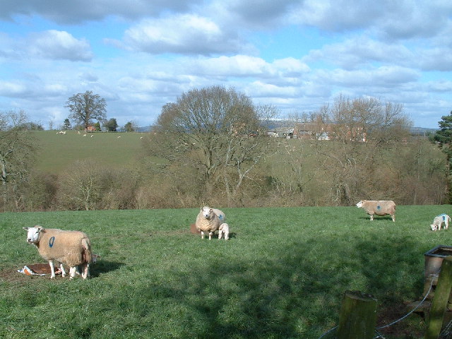
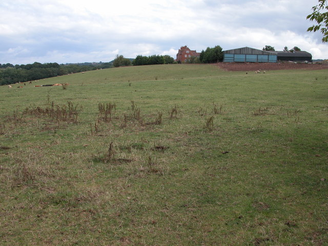
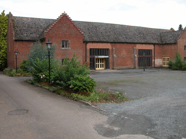
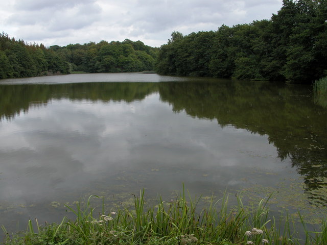
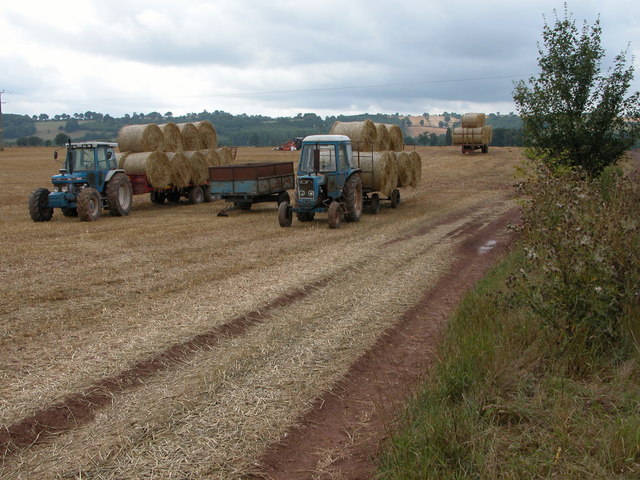
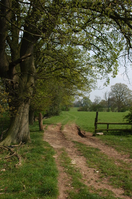
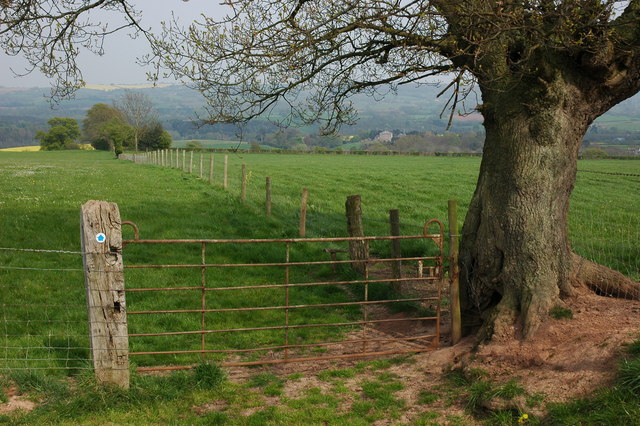
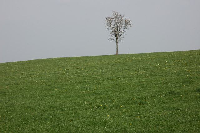
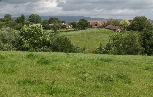
The village of Kyre is known for its picturesque countryside and rural charm. It is surrounded by rolling hills and farmland, creating a peaceful and idyllic setting. The parish is home to a mix of traditional stone cottages and newer residential properties, adding to its character and appeal.

Kyre is well-connected to the surrounding areas, with good road links to Worcester and nearby towns such as Tenbury Wells and Bromyard. The village has a small primary school, providing education for local children, and there are also a few local businesses and amenities, including a village hall and a pub.

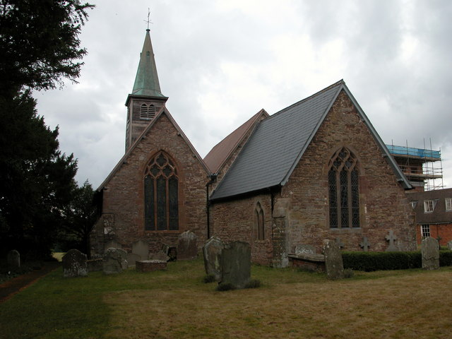
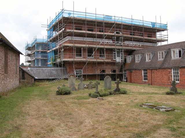
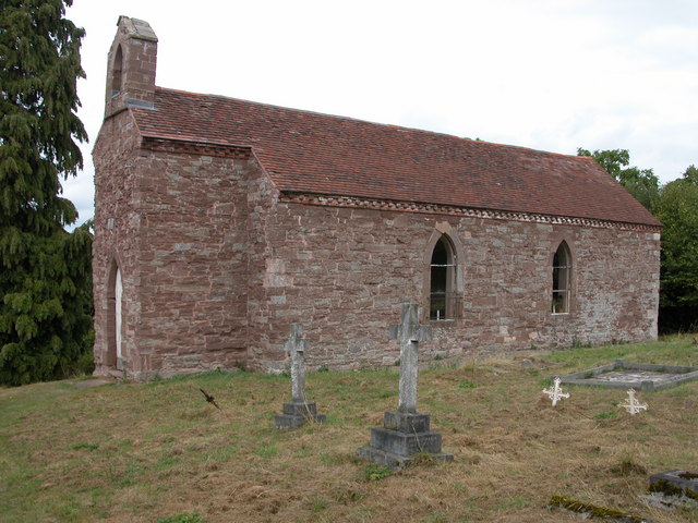
The parish of Kyre is rich in history and heritage. It is home to several listed buildings, including the Grade I listed St. Mary's Church, which dates back to the 12th century. The church is a prominent feature in the village and attracts visitors from near and far.

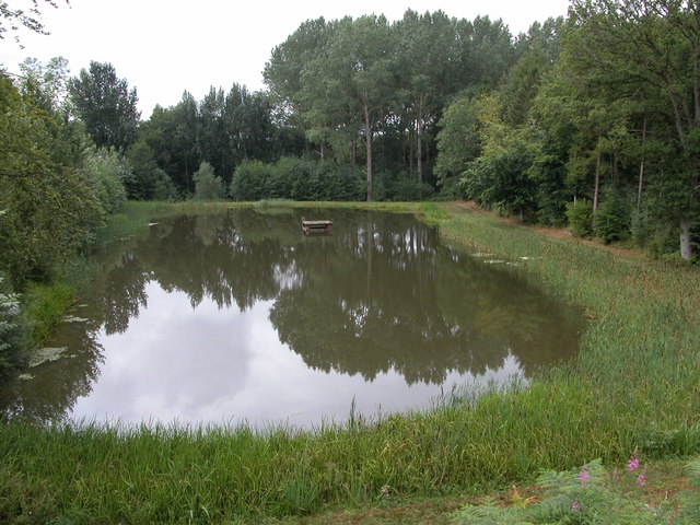
Kyre offers a peaceful and close-knit community for its residents, with opportunities for outdoor activities, including walking and cycling in the surrounding countryside. Its charming rural setting and historic landmarks make it an attractive destination for visitors seeking a taste of traditional English village life.

If you have any feedback on the listing, please let us know in the comments section below.

Kyre Images

Images are sourced within 2km of 52.271742/-2.555465 or Grid Reference SO6263. Thanks to Geograph Open Source API. All images are credited.

Contented woolies At Lower House, the Kyre Equestrian Centre near Tenbury Wells.
Contented woolies
At Lower House, the Kyre Equestrian Centre near Tenbury Wells.
The Grove Farm
The Grove Farm
Tithe Barn, Kyre Park
Kyre Pool Kyre Pool is situated in a former deer park.
Kyre Pool
Kyre Pool is situated in a former deer park.
Tractors at The Grove Farm Tractors with trailers loaded with straw bales at The Grove Farm.
Tractors at The Grove Farm
Tractors with trailers loaded with straw bales at The Grove Farm.
St Mary's church, Kyre
Restoration work on Kyre House The large house on Kyre Park is currently undergoing major restoration work.
Restoration work on Kyre House
The large house on Kyre Park is currently undergoing major restoration work.
Smaller pool below Kyre Pool This smaller pool is situated just to the west of the Kyre Pool, though it is not shown on the OS map.
Smaller pool below Kyre Pool
This smaller pool is situated just to the west of the Kyre Pool, though it is not shown on the OS map.
Lower House The farm at Lower House is to the north-east of Kyre, on the lower eastern slopes of Haws Hill.
Lower House
The farm at Lower House is to the north-east of Kyre, on the lower eastern slopes of Haws Hill.
Sutton House Farm at Sutton House viewed from near Upper House.
Sutton House
Farm at Sutton House viewed from near Upper House.
Sheep in a field on the slopes of Haws Hill
The ruinous Moor House Moor House stands high on Haws Hill but is in a very ruinous state. Nearby are the remains of farm buildings.
The ruinous Moor House
Moor House stands high on Haws Hill but is in a very ruinous state. Nearby are the remains of farm buildings.
Farmland to the north of Easerfield Coppice
Gate on bridleway, near Kyre This bridleway is to the north of Pigeon House Farm. The large house just visible in the distance to the left of the tree is Kyre Park.
Gate on bridleway, near Kyre
This bridleway is to the north of Pigeon House Farm. The large house just visible in the distance to the left of the tree is Kyre Park.
Tree on the skyline This tree stands proud on the skyline in a field to the north of Pigeon House Farm, Kyre.
Tree on the skyline
This tree stands proud on the skyline in a field to the north of Pigeon House Farm, Kyre.
The Valley of the Kyre Brook Quite a wide steep sided valley bottom for such a small brook. The Kyre Brook flows north (right to left) on its way to Tenbury where it joins the river Teme.
The Valley of the Kyre Brook
Quite a wide steep sided valley bottom for such a small brook. The Kyre Brook flows north (right to left) on its way to Tenbury where it joins the river Teme.
Kyre/Sutton Parish Boundary The small stream running along the fenceline is not named on the OS maps, but determines the boundary between the two parishes. After a few hundred metres (behind the camera) it joins the Kyre Brook which in turn joins the River Teme at Tenbury.
Kyre/Sutton Parish Boundary
The small stream running along the fenceline is not named on the OS maps, but determines the boundary between the two parishes. After a few hundred metres (behind the camera) it joins the Kyre Brook which in turn joins the River Teme at Tenbury.
Pigeon House Farm Viewed from the end of the drive. With the grey whale of Titterstone Clee in the distance.
Pigeon House Farm
Viewed from the end of the drive. With the grey whale of Titterstone Clee in the distance.
Show me another place!

Kyre is located at Grid Ref: SO6263 (Lat: 52.271742, Lng: -2.555465)

Administrative County: Worcestershire

District: Malvern Hills

Police Authority: West Mercia

What 3 Words

///owns.garages.though. Near Collington, Herefordshire

Related Wikis

Kyre

Kyre is a small village and civil parish in the Malvern Hills district of the county of Worcestershire, England, and shares its parish council with neighbouring...

Bank Street, Worcestershire

Bank Street is a village in Malvern Hills District, Worcestershire, England.

Hanley Child

Hanley Child is a village and former civil parish, now in the parish of Hanley, in the Malvern Hills district, in the county of Worcestershire, England...

Hampton Charles, Herefordshire

Hampton Charles is a dispersed hamlet and civil parish in Herefordshire, England, and approximately 5 miles (8 km) north-west from Bromyard. The Herefordshire...

Nearby Amenities

Located within 500m of 52.271742,-2.555465
The data included in this document is from www.openstreetmap.org. The data is made available under ODbL.

Have you been to Kyre?

Leave your review of Kyre below (or comments, questions and feedback).