Knapwell

Civil Parish in Cambridgeshire South Cambridgeshire

England

Knapwell

Knapwell, All Saints <span class="nowrap"><a title="http://www.druidic.org/camchurch/churches/knapwell.htm" rel="nofollow ugc noopener" href="http://www.druidic.org/camchurch/churches/knapwell.htm">Link</a><img style="margin-left:2px;" alt="External link" title="External link - shift click to open in new window" src="https://s1.geograph.org.uk/img/external.png" width="10" height="10"/></span>
Knapwell, All Saints Credit: mym

Knapwell is a small civil parish located in the county of Cambridgeshire, England. Situated approximately 8 miles west of the city of Cambridge, it covers an area of about 1.5 square miles and has a population of around 300 people.

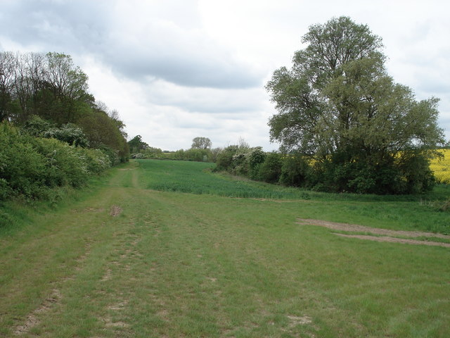
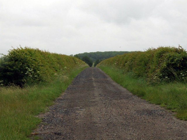
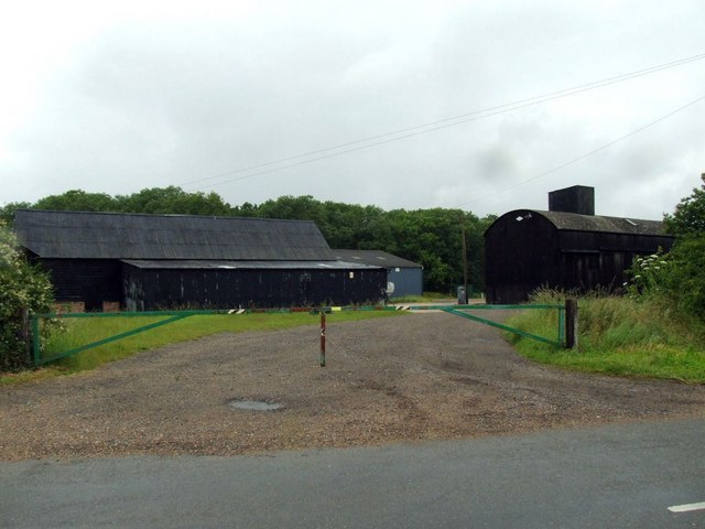
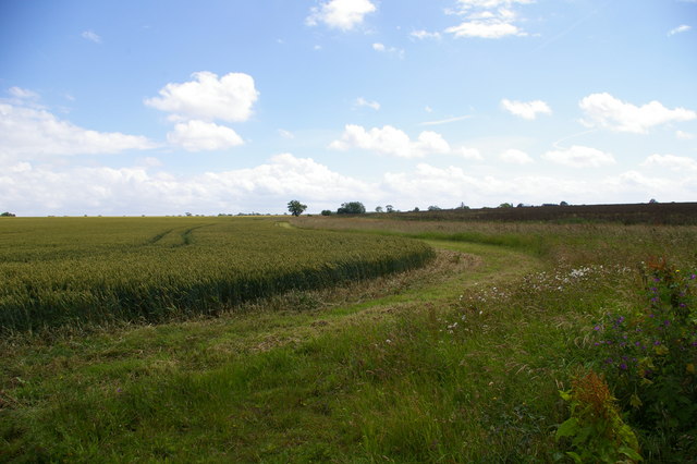
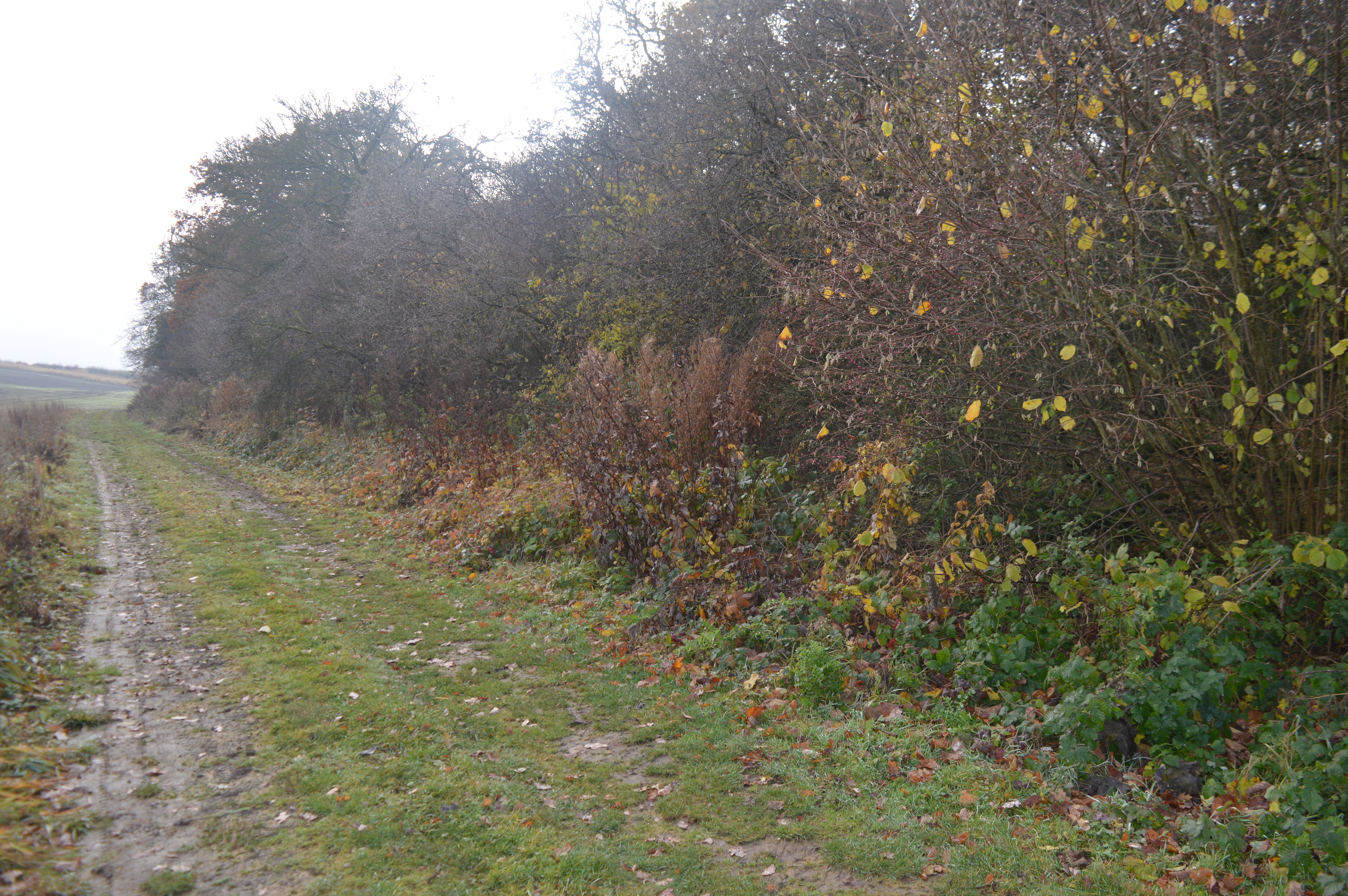
The village of Knapwell is known for its picturesque rural setting, surrounded by open fields and farmland. It is a predominantly residential area, with a mix of traditional cottages and more modern houses. The parish is situated on a gentle slope, with the highest point being Knapwell Wood to the northwest.

The village itself is centered around St. Nicholas Church, a Grade II listed building dating back to the 13th century. The church is an important historical and architectural landmark, featuring a Norman tower and various medieval features.

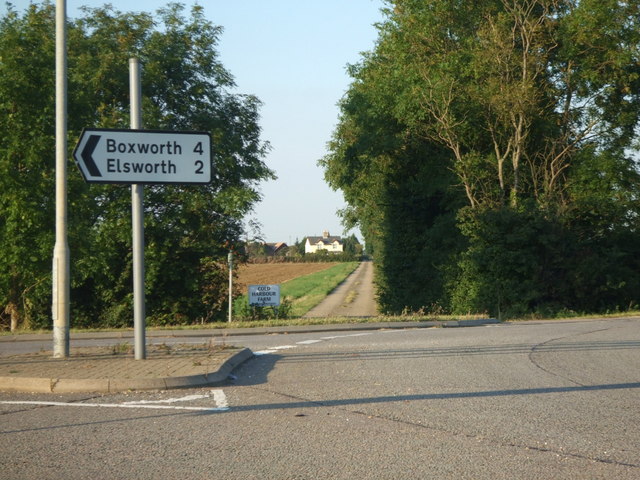
Despite its small size, Knapwell has a strong sense of community and offers a range of amenities for its residents. These include a village hall, a playground, and a recreational ground. The village is also well-connected to the surrounding areas, with regular bus services providing transport links to neighboring towns and villages.

In terms of education, the nearest primary schools are located in the nearby villages of Caxton and Caldecote, while secondary education is provided in the larger towns of Cambourne and St. Neots.

Overall, Knapwell offers a peaceful and idyllic countryside setting, making it an attractive place to live for those seeking a rural lifestyle within close proximity to Cambridge.

If you have any feedback on the listing, please let us know in the comments section below.
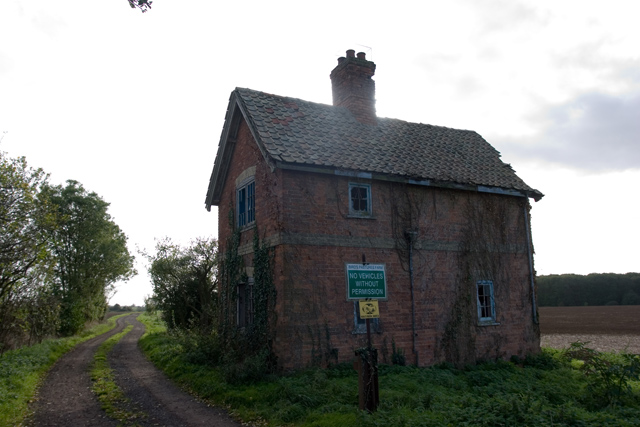
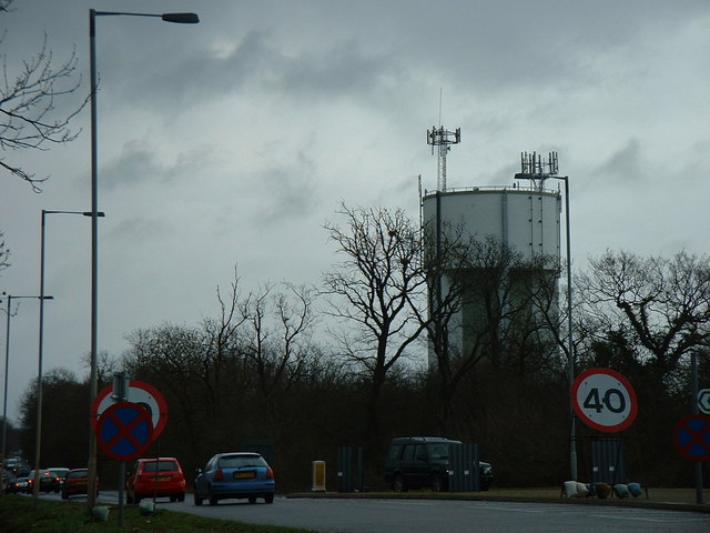
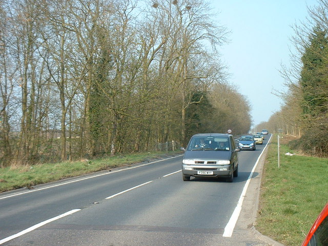
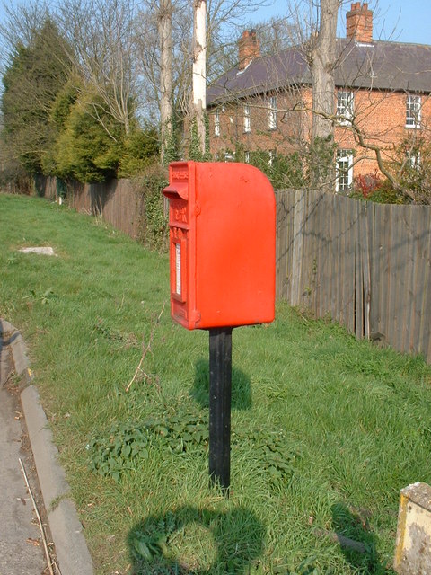
Knapwell Images

Images are sourced within 2km of 52.23262/-0.053751 or Grid Reference TL3361. Thanks to Geograph Open Source API. All images are credited.

Knapwell, All Saints <span class="nowrap"><a title="http://www.druidic.org/camchurch/churches/knapwell.htm" rel="nofollow ugc noopener" href="http://www.druidic.org/camchurch/churches/knapwell.htm">Link</a><img style="margin-left:2px;" alt="External link" title="External link - shift click to open in new window" src="https://s1.geograph.org.uk/img/external.png" width="10" height="10"/></span>
Knapwell, All Saints
Field scale lysimeters A lysimeter measures water penetration in the soil, apparently. The things you learn through Geograph.
Field scale lysimeters
A lysimeter measures water penetration in the soil, apparently. The things you learn through Geograph.
Knapwell village street Showing the handmade sign that is de rigueur for all villages in this area.
Knapwell village street
Showing the handmade sign that is de rigueur for all villages in this area.
Derelict building at Battle Gate This is at the end of the southern road out of Boxworth which can be driven down, but not beyond this point. The surrounding fields are on one of the highest parts of the clay 'uplands' (nearby spot height is 67m) which form the southern border of the Fens.
Derelict building at Battle Gate
This is at the end of the southern road out of Boxworth which can be driven down, but not beyond this point. The surrounding fields are on one of the highest parts of the clay 'uplands' (nearby spot height is 67m) which form the southern border of the Fens.
Converted house One of the many converted dwellings in the village, giving the area its own unique character.
Converted house
One of the many converted dwellings in the village, giving the area its own unique character.
Terrace houses A view along the main road through Knapwell, showing terrace houses backing onto the street. The road tarmac is coloured red to help drivers remember that the village is a 30mph zone - a technique used often in local rural villages.
Terrace houses
A view along the main road through Knapwell, showing terrace houses backing onto the street. The road tarmac is coloured red to help drivers remember that the village is a 30mph zone - a technique used often in local rural villages.
Water Tower, St. Neots Road. This water tower is only just in square TL3160, but can be seen from the whole area.
Water Tower, St. Neots Road.
This water tower is only just in square TL3160, but can be seen from the whole area.
Field and pylon There is little to distinguish one field from another!
Field and pylon
There is little to distinguish one field from another!
The old St. Neots Road This stretch of the old St. Neots Road near Cambourne, is soon to be replaced by the A428 dual carriageway.
The old St. Neots Road
This stretch of the old St. Neots Road near Cambourne, is soon to be replaced by the A428 dual carriageway.
St.Neots Road Postbox near New Inn Farm The odd shadow at the bottom of this photo is the photographer!
Postbox No.CB23 276
This Postbox has been renamed Monks Drive Postbox and has the new postbox number of CB3 393
St.Neots Road Postbox near New Inn Farm
The odd shadow at the bottom of this photo is the photographer! Postbox No.CB23 276 This Postbox has been renamed Monks Drive Postbox and has the new postbox number of CB3 393
Farmland at Grange Farm, Knapwell Part of the RSPB's 'Hope Farm'.
Farmland at Grange Farm, Knapwell
Part of the RSPB's 'Hope Farm'.
Courses for horses Horse jumping practice ring at Bird's Pastures Farm, near Knapwell. The surface of the practice ring is made from chopped up car tyres. Very green.
Courses for horses
Horse jumping practice ring at Bird's Pastures Farm, near Knapwell. The surface of the practice ring is made from chopped up car tyres. Very green.
Track to New Farm
Track to New Farm
Farm buildings at Wood farm
Farmland The edge of a wheat (I think) field near Bird's Pastures Farm.
Farmland
The edge of a wheat (I think) field near Bird's Pastures Farm.
Road bridge over the A428 This bridge takes traffic into Cambourne.
Road bridge over the A428
This bridge takes traffic into Cambourne.
Road sign to Boxworth Coldharbour Farm can be seen in the far distance.
Road sign to Boxworth
Coldharbour Farm can be seen in the far distance.
Public footpath sign to Knapwell
Show me another place!

Knapwell is located at Grid Ref: TL3361 (Lat: 52.23262, Lng: -0.053751)

Administrative County: Cambridgeshire

District: South Cambridgeshire

Police Authority: Cambridgeshire

What 3 Words

///unafraid.historic.chimp. Near Cambourne, Cambridgeshire

Nearby Locations

Knapwell

Related Wikis

Cambourne Church

Cambourne Church is a "local ecumenical partnership" between the Church of England, Baptist Union of Great Britain, Methodist Church of Great Britain and...

Cambourne

Cambourne is a new settlement and civil parish in Cambridgeshire, England, in the district of South Cambridgeshire. It lies on the A428 road between Cambridge...

Elsworth Wood

Elsworth Wood is a 6.9-hectare (17-acre) biological Site of Special Scientific Interest between Cambourne and Elsworth in Cambridgeshire. This site has...

Knapwell

Knapwell is a hamlet in Cambridgeshire situated about 10 miles (16 km) west of Cambridge. It is within the diocese of Ely. Its population was estimated...

Have you been to Knapwell?

Leave your review of Knapwell below (or comments, questions and feedback).