Brookmans Park
Settlement in Hertfordshire Welwyn Hatfield
England
Brookmans Park
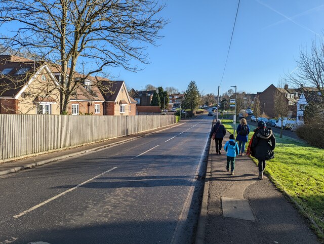
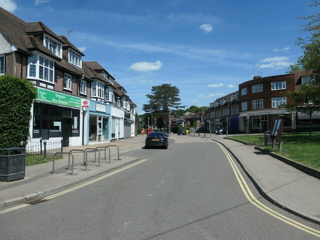
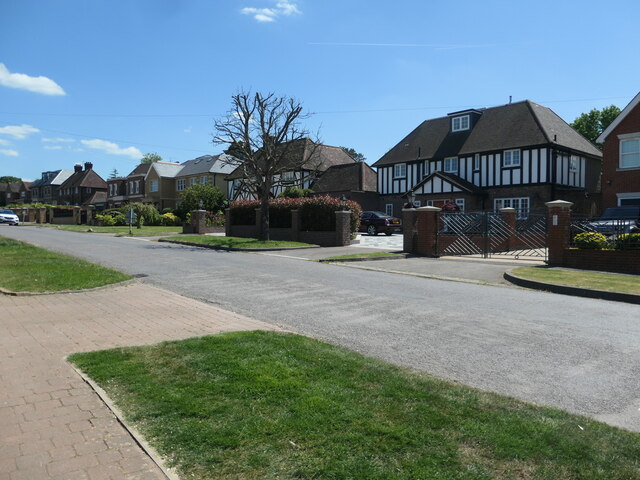
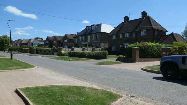
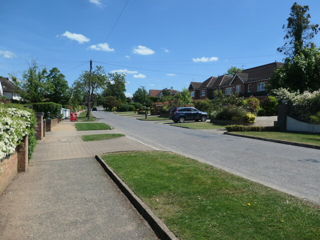
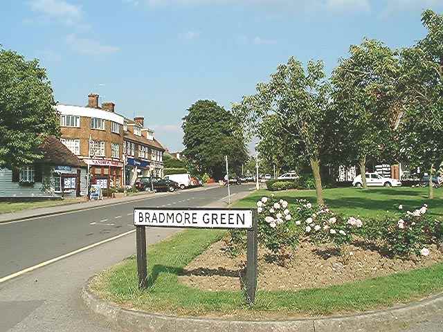
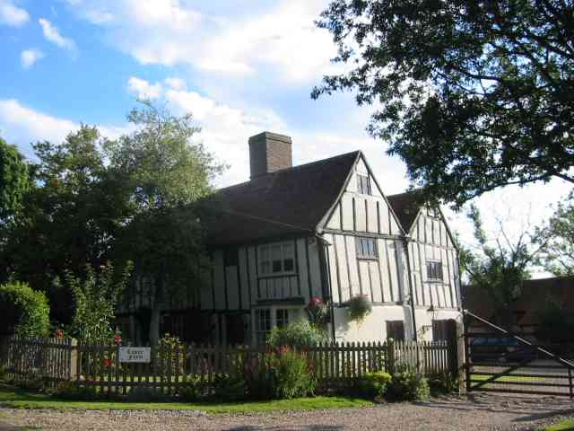
Brookmans Park is a charming village located in Hertfordshire, England. Situated approximately 20 miles north of central London, it is known for its picturesque surroundings and close-knit community. The village is situated on the Great North Road, making it easily accessible by both road and public transport.
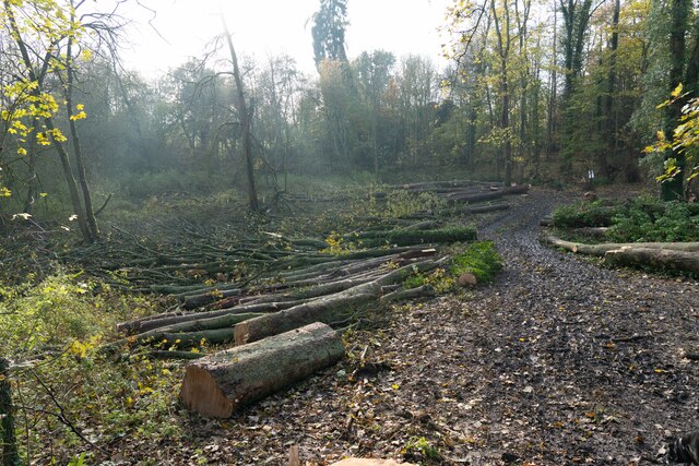
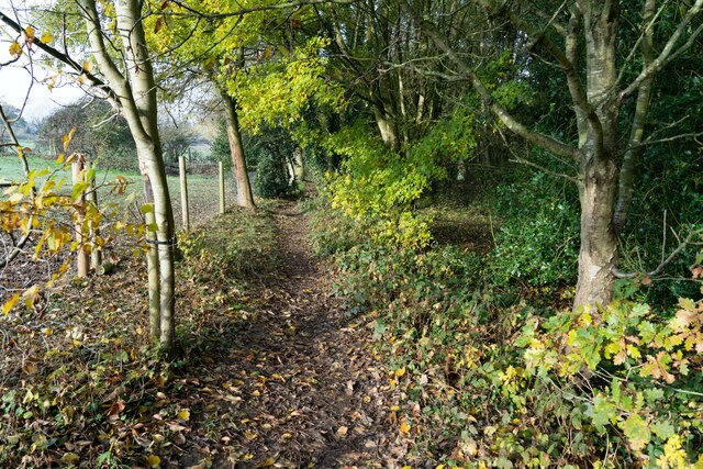
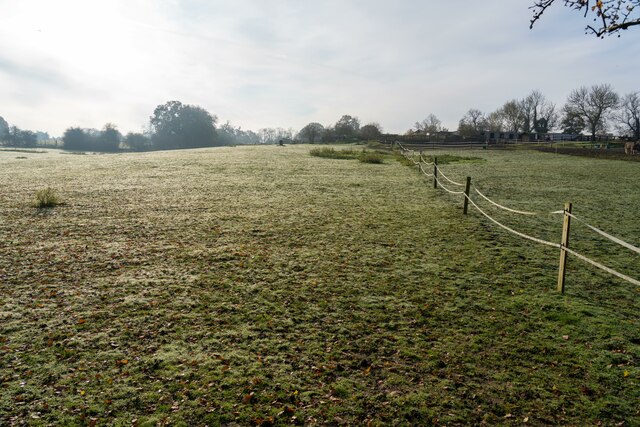
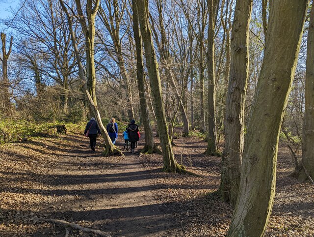
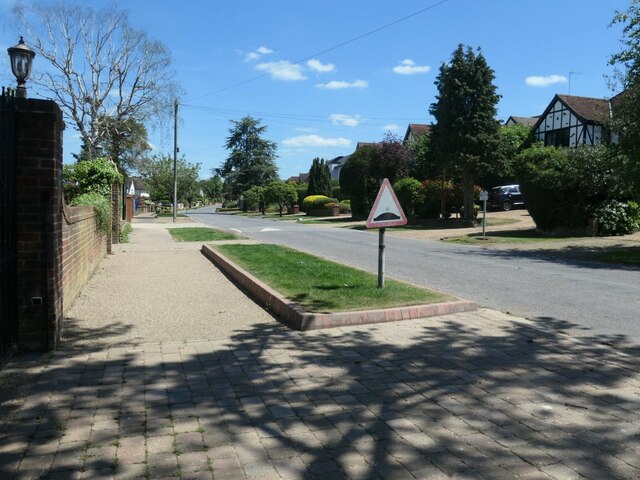
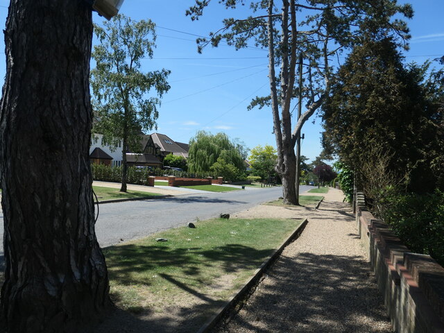
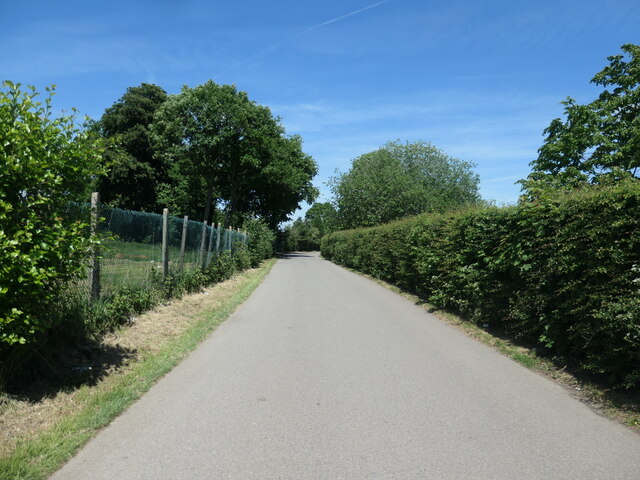
One of the standout features of Brookmans Park is its beautiful green spaces and scenic countryside. The village is surrounded by lush fields and forests, offering residents and visitors ample opportunities for outdoor activities such as walking, cycling, and horse riding. The nearby Gobions Wood Nature Reserve is a popular spot for nature enthusiasts, boasting a diverse range of flora and fauna.
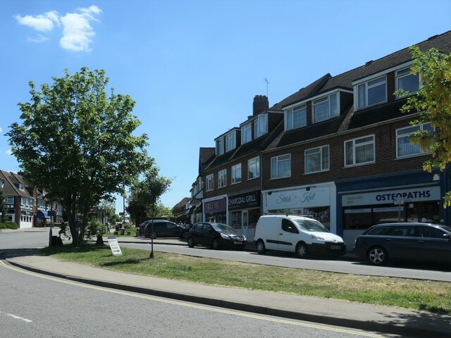
In terms of amenities, Brookmans Park has a selection of shops and services to cater to the needs of its residents. The village boasts a local convenience store, a pharmacy, a post office, and a handful of independent shops. Additionally, there are a few dining options, including a pub and a couple of restaurants.
Brookmans Park is also home to a thriving community spirit. The village hosts various events throughout the year, including a summer fair, a fireworks display, and a Christmas market. These events provide opportunities for residents to come together and foster a sense of belonging.
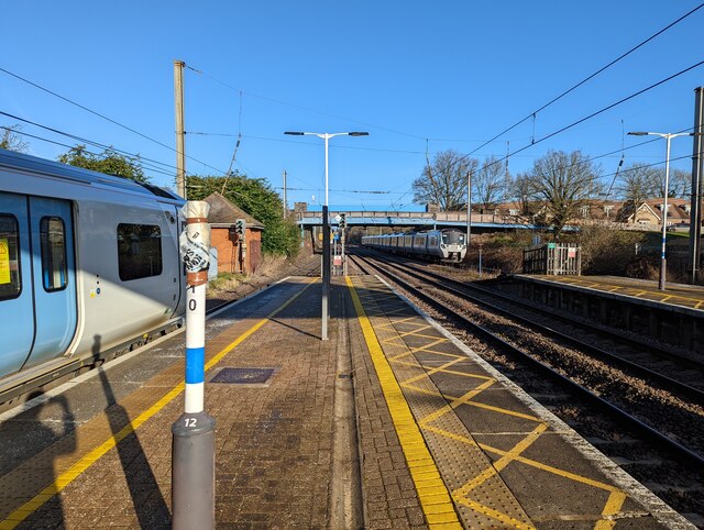
Transport links in Brookmans Park are excellent, with a train station located in the village providing regular services to London and other nearby towns. The village is also well-connected by road, with easy access to major motorways such as the M25 and A1(M).
Overall, Brookmans Park offers a peaceful and idyllic setting, making it an attractive place to live for those seeking a balance between countryside living and easy access to urban amenities.
If you have any feedback on the listing, please let us know in the comments section below.
Brookmans Park Images
Images are sourced within 2km of 51.723807/-0.197454 or Grid Reference TL2404. Thanks to Geograph Open Source API. All images are credited.
![Brookmans Park Golf Club [1] Seen from Golf Club Road.](https://s1.geograph.org.uk/geophotos/07/18/68/7186825_f900b103.jpg)
Brookmans Park is located at Grid Ref: TL2404 (Lat: 51.723807, Lng: -0.197454)
Administrative County: Hertfordshire
District: Welwyn Hatfield
Police Authority: Hertfordshire
What 3 Words
///fears.boom.emerge. Near Potters Bar, Hertfordshire
Nearby Locations
Related Wikis
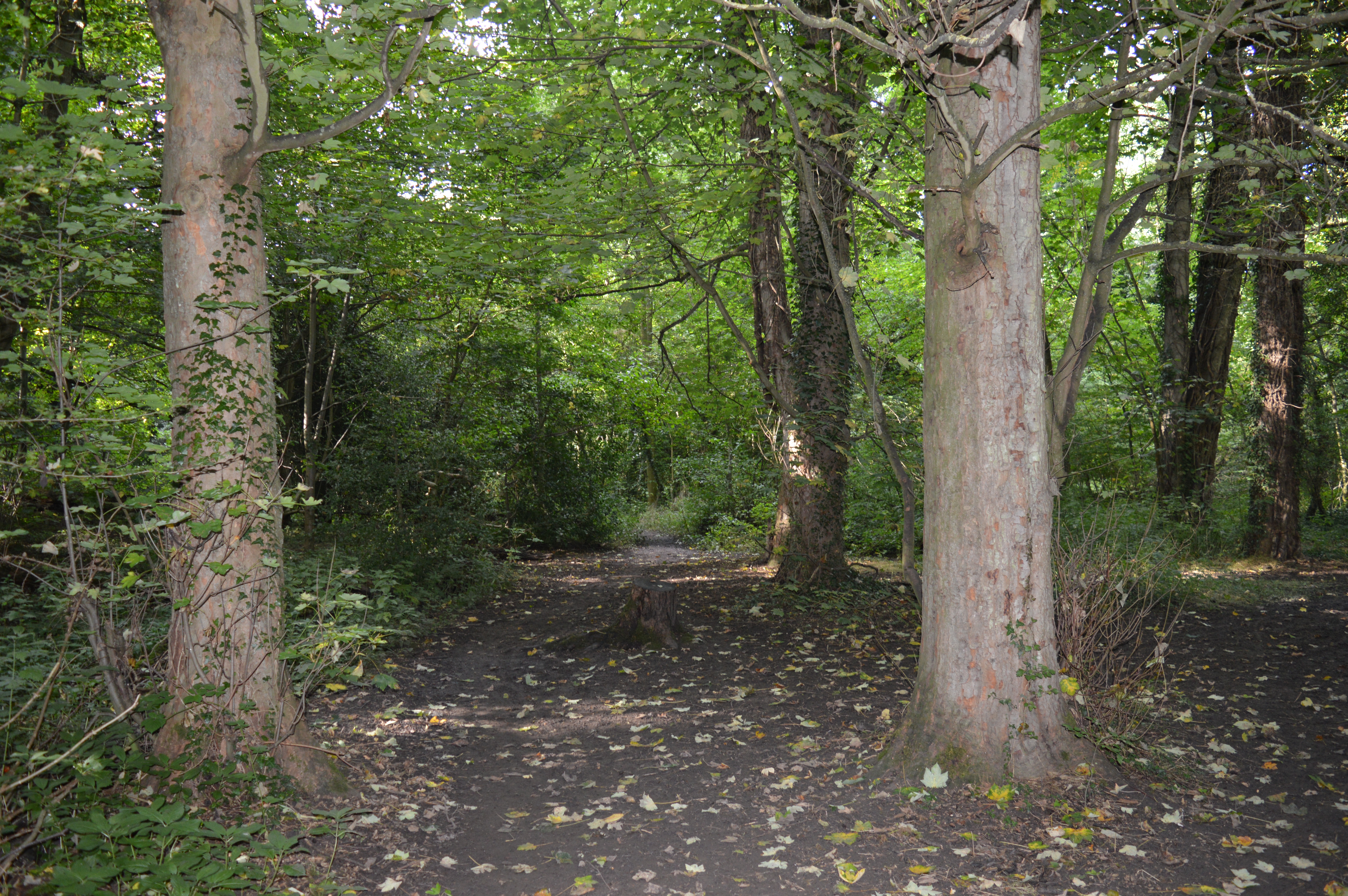
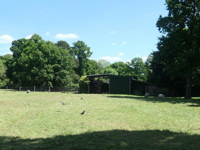
Gobions Wood
Gobions Wood is a 36 hectare nature reserve managed by the Herts and Middlesex Wildlife Trust in Brookmans Park in Hertfordshire. The site was formerly...
Brookmans Park
Brookmans Park is a village in Hertfordshire, southeast England, known for its BBC transmitter station. Brookmans Park railway station, on the East Coast...
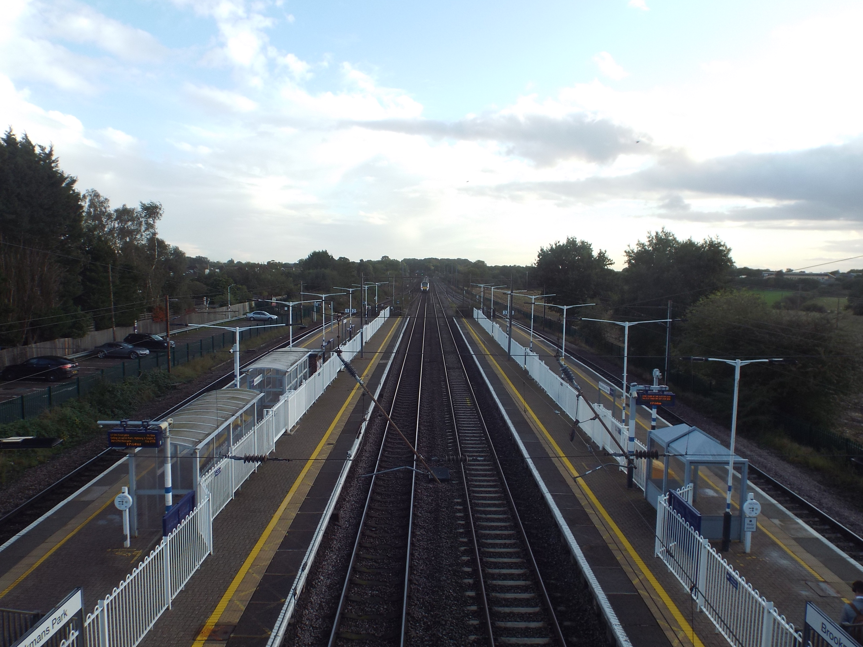
Brookmans Park railway station
Brookmans Park railway station serves the village of Brookmans Park in Hertfordshire, England. The station is located 14 miles 37 chains (23.3 km) north...
Bell Bar
Bell Bar is a hamlet located in North Mymms, Hertfordshire, England. It is in the civil parish of North Mymms. Thought to be named after the ancient Bell...

Chancellor's School
Chancellor's School is a coeducational secondary school and sixth form located in Brookmans Park, Hertfordshire, England. == History == The school opened...
Queen Mother Hospital for Animals
The Queen Mother Hospital for Animals (QMHA) is a teaching hospital located near Potters Bar, Hertfordshire. More than 100 veterinary nurses work alongside...
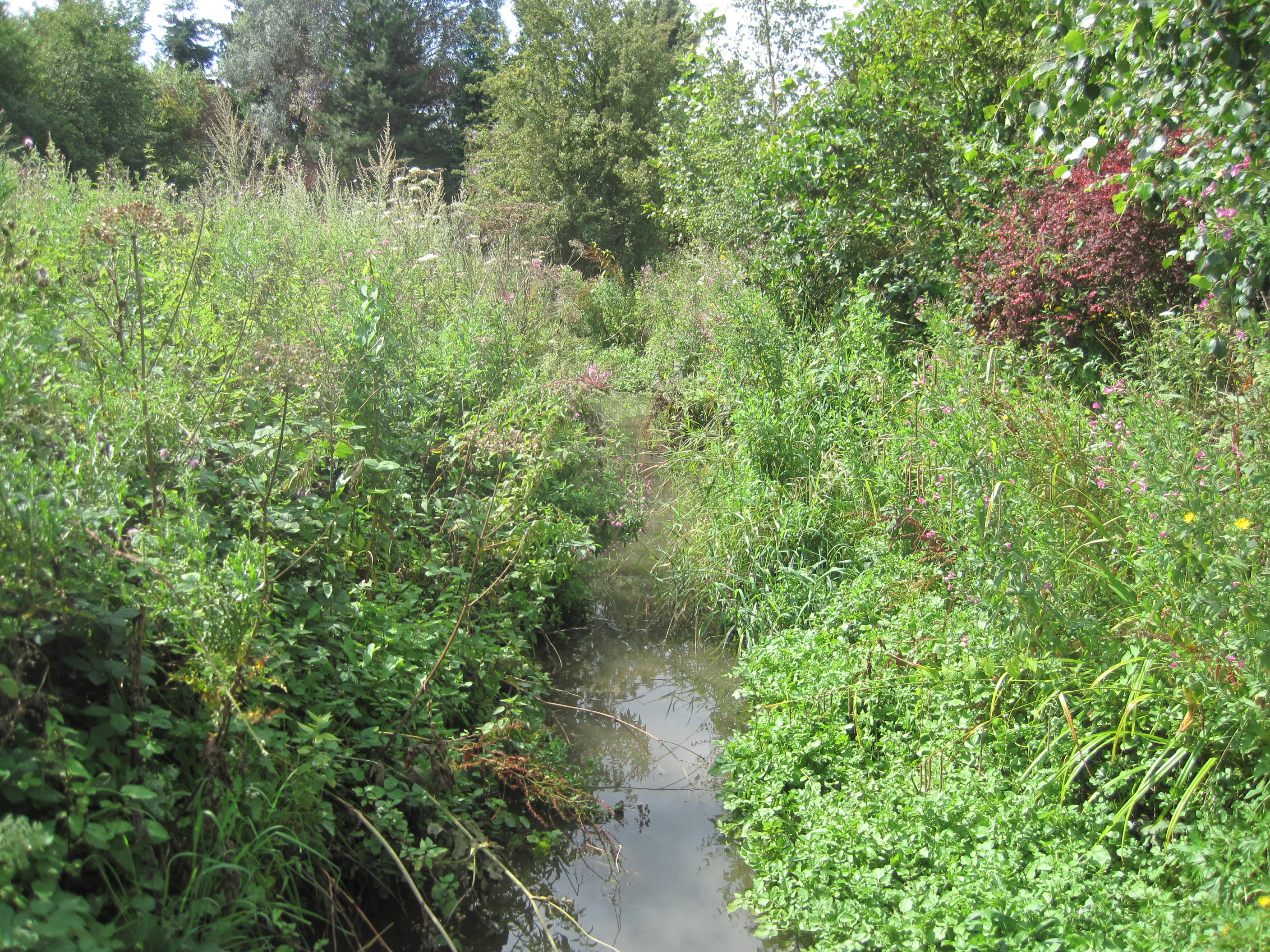
Mimmshall Brook
Mimmshall Brook is a 9.8 kilometres (6.1 mi) long stream (brook) in Greater London and Hertfordshire, England. Rising from two sources—one in Hertsmere...
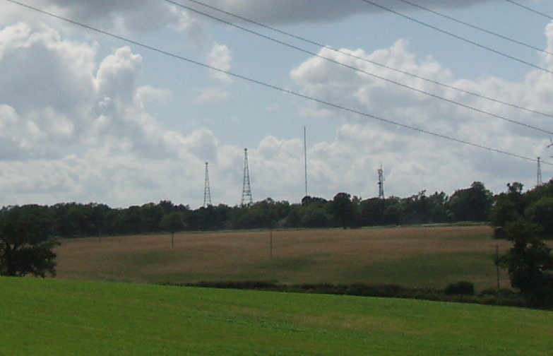
Brookmans Park transmitting station
The Brookmans Park transmitting station is a facility for medium wave (MW) broadcasting at Brookmans Park, Hertfordshire, north of London (grid reference...
Nearby Amenities
Located within 500m of 51.723807,-0.197454Have you been to Brookmans Park?
Leave your review of Brookmans Park below (or comments, questions and feedback).