Brookhouses

Settlement in Derbyshire High Peak

England

Brookhouses

Footpath keeping to line of drystone wall on slopes of Lantern Pike
Footpath keeping to line of drystone wall on slopes of Lantern Pike Credit: Philip Cornwall

The requested URL returned error: 429 Too Many Requests

If you have any feedback on the listing, please let us know in the comments section below.
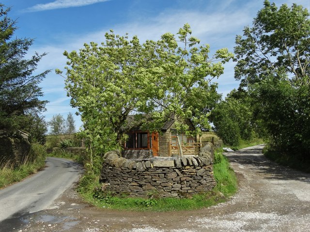
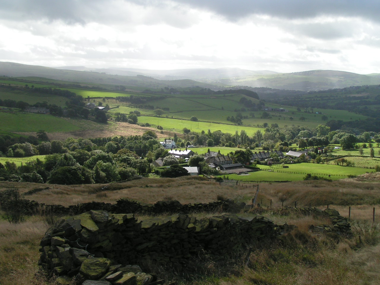
Brookhouses Images

Images are sourced within 2km of 53.397825/-1.9713868 or Grid Reference SK0289. Thanks to Geograph Open Source API. All images are credited.

Footpath keeping to line of drystone wall on slopes of Lantern Pike
Lantern Pike Lantern Pike seen from Monks' Road.
Lantern Pike
Lantern Pike seen from Monks' Road.
Road junction at Pistol Farm On Gun Road. The lane to the right leads to Far Slack Farm and Near Slack Farm too. At this junction there is a small modern cottage.
Road junction at Pistol Farm
On Gun Road. The lane to the right leads to Far Slack Farm and Near Slack Farm too. At this junction there is a small modern cottage.
The way to Near Slack Farm
Tumbledown buildings at Near Slack Farm
Path junction north east of Near Slack Farm
Far Cown Edge Farm Nestling to the east of Cown Edge in a late summer landscape.
Far Cown Edge Farm
Nestling to the east of Cown Edge in a late summer landscape.
Ramshackle stabling near Knarrs
Sheep on Cown Edge With Manchester visible in the distance
Sheep on Cown Edge
With Manchester visible in the distance
Abbot's Chair The stone cross base is now in a field to the northeast of the lane, just past the drive to Taiga Farm!
Abbot's Chair
The stone cross base is now in a field to the northeast of the lane, just past the drive to Taiga Farm!
Near Slack farm The name of the farm, but it was quite near.
Near Slack farm
The name of the farm, but it was quite near.
Derelict buildings at Near Slack Farm The main farm house building here is in much better condition <a href="https://www.geograph.org.uk/photo/5380795">SK0190 : Near Slack Farm</a>
Derelict buildings at Near Slack Farm
The main farm house building here is in much better condition SK0190 : Near Slack Farm
Near Slack Farm The outbuildings are derelict, possibly waiting for development <a href="https://www.geograph.org.uk/photo/5380789">SK0190 : Derelict buildings at Near Slack Farm</a>
Near Slack Farm
The outbuildings are derelict, possibly waiting for development SK0190 : Derelict buildings at Near Slack Farm
Far Cown Edge Farm View of Far Cown Edge Farm from Matley Moor.
Far Cown Edge Farm
View of Far Cown Edge Farm from Matley Moor.
Footpath near Near Slack farm Looking back towards Rowarth.
Footpath near Near Slack farm
Looking back towards Rowarth.
The Pennine bridleway. The Pennine bridleway follows this quiet lane.
The Pennine bridleway.
The Pennine bridleway follows this quiet lane.
Grazing near Hollingworth Head Farm Off the A624.
Grazing near Hollingworth Head Farm
Off the A624.
Glossop Road (A624) Heading south west towards Hayfield.
Glossop Road (A624)
Heading south west towards Hayfield.
Show me another place!

Brookhouses is located at Grid Ref: SK0289 (Lat: 53.397825, Lng: -1.9713868)

Administrative County: Derbyshire

District: High Peak

Police Authority: Derbyshire

What 3 Words

///expel.smiling.fuzz. Near Hayfield, Derbyshire

Nearby Locations

Brookhouses

Related Wikis

Lantern Pike

Lantern Pike is a hill located just outside Hayfield, in Derbyshire, England. The land lies within the Peak District National Park and is owned and maintained...

Little Hayfield

Little Hayfield is a hamlet in the Peak District National Park, in Derbyshire, England. It lies on the A624 between Hayfield and Glossop. At the centre...

Rowarth

Rowarth is a hamlet about 2.5 miles (4 km) north of New Mills in the High Peak borough of Derbyshire, England. It is on the edge of the Peak District,...

Abbot's Chair

The Abbot's Chair is the common name of a former monastic cross, the Charlesworth Cross. Only the socket remains of this boundary cross, built by the monks...

Related Videos

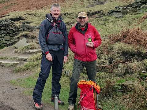
Walk out of Hayfield

A lower level walk out of Hayfield, through the foothills around Kinder in in Peak District.

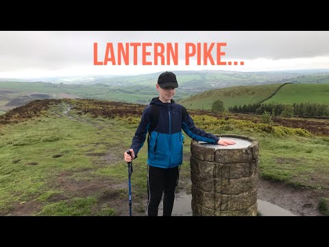
I climbed Lantern Pike (Hiking the Ethels)

If you enjoy then please subscribe because it would really help me out!! All music I use is production music, meaning that I should ...
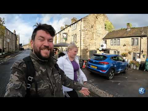
Hike to Sandy Hays (Peak District) and an overnight Wild Camp watching the sunset. - 4K

Hiking to Sandy Hays on a beautiful Spring day. We walked around Kinder Downfall with perfect views over looking down on ...

Nearby Amenities

Located within 500m of 53.397825,-1.9713868
Barrier: stile
Material: wood
Stile: stepover
Lat/Long: 53.400858/-1.9708698
Barrier: stile
Material: stone
Source: survey;gps
Stile: stepover
Lat/Long: 53.3986833/-1.9649826
Barrier: stile
Material: wood
Stile: stepover
Lat/Long: 53.4015543/-1.9743683
Barrier: stile
Material: stone
Source: survey;gps
Stile: stepover
Lat/Long: 53.3976555/-1.9703481
Barrier: stile
Material: wood
Source: survey;gps
Stile: stepover
Lat/Long: 53.3992059/-1.9655073
Barrier: stile
Material: wood
Source: survey;gps
Stile: stepover
Lat/Long: 53.4014068/-1.9745625
Barrier: stile
Source: survey;gps
Stile: stepover
Lat/Long: 53.4014309/-1.9733705
Power: pole
Lat/Long: 53.4015461/-1.9737793
Power: pole
Lat/Long: 53.4015141/-1.9744666
Power: pole
Lat/Long: 53.4015161/-1.9753718
Information: guidepost
Operator: Peak & Northern Footpaths Society
Ref: 281
Source: survey;gps
Tourism: information
Lat/Long: 53.3976332/-1.9703883
Information: guidepost
Operator: Peak & Northern Footpaths Society
Ref: 289
Source: survey;gps
Tourism: information
Lat/Long: 53.3979103/-1.9749507
Barrier: stile
Material: stone
Source: survey;gps
Stile: stepover
Lat/Long: 53.3979154/-1.9749224
Information: guidepost
Operator: Peak & Northern Footpaths Society
Ref: 54
Source: survey;gps
Tourism: information
Lat/Long: 53.3976464/-1.9773909
Barrier: stile
Material: stone
Source: survey;gps
Stile: stepover
Lat/Long: 53.3976383/-1.9773945
Barrier: stile
Material: stone
Source: survey;gps
Stile: stepover
Lat/Long: 53.3979767/-1.9779722
The data included in this document is from www.openstreetmap.org. The data is made available under ODbL.

Have you been to Brookhouses?

Leave your review of Brookhouses below (or comments, questions and feedback).