Kingsbridge
Civil Parish in Devon South Hams
England
Kingsbridge
The requested URL returned error: 429 Too Many Requests
If you have any feedback on the listing, please let us know in the comments section below.
Kingsbridge Images
Images are sourced within 2km of 50.285478/-3.769613 or Grid Reference SX7444. Thanks to Geograph Open Source API. All images are credited.

![Kingsbridge buildings [1] This building at numbers 1 and 3 Fore Street now houses a charity shop on the ground floor with residential apartments above. The site was initially the Blue Anchor Inn and brewhouse built in the mid 18th century. The present building was erected in the 1860s, and it was modernized and renamed the Quay Hotel in the early 1980s. It eventually closed in 2015. Constructed of stuccoed stone under a slate roof. Listed, grade II, with details at: <span class="nowrap"><a title="https://historicengland.org.uk/listing/the-list/list-entry/1249247" rel="nofollow ugc noopener" href="https://historicengland.org.uk/listing/the-list/list-entry/1249247">Link</a><img style="margin-left:2px;" alt="External link" title="External link - shift click to open in new window" src="https://s1.geograph.org.uk/img/external.png" width="10" height="10"/></span>
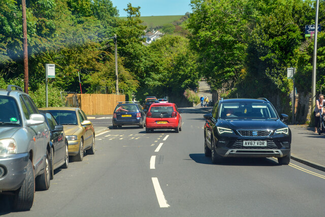
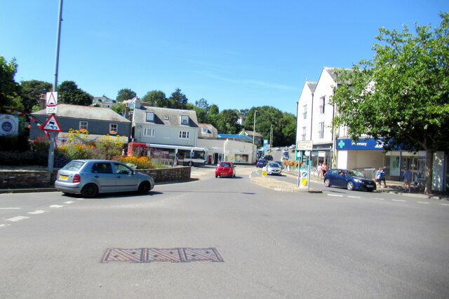
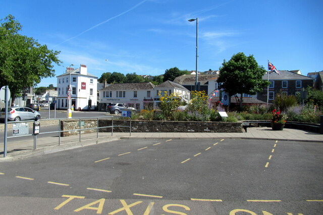
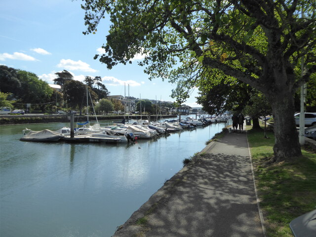
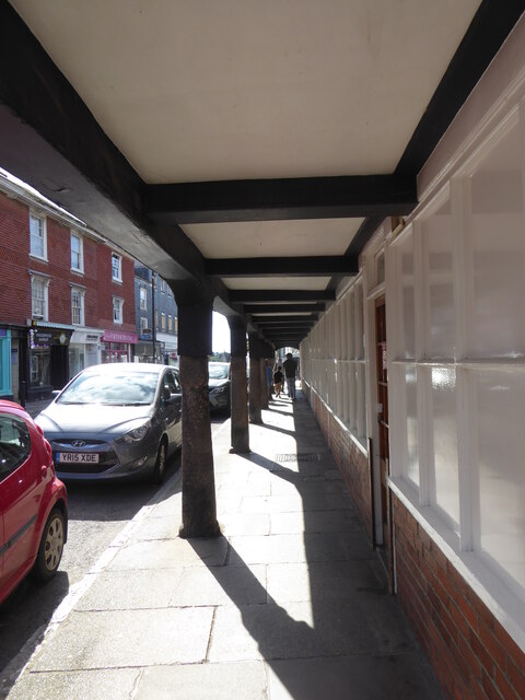
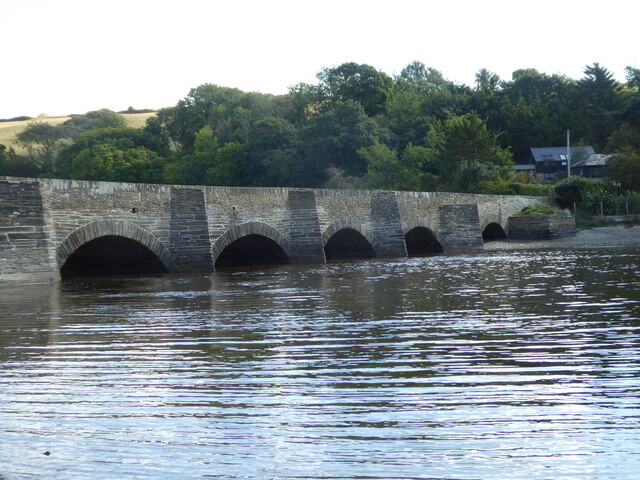
Kingsbridge is a market town in the South Hams district of Devon. It is located at the head of an estuary some 17 miles southwest of Torquay and about 17 miles southeast of Plymouth. The town formed around a bridge built in or before the 10th century between two royal estates, giving it the name of Kyngysbrygge (&quot;King&#039;s bridge&quot;). Situated in the South Devon Area of Outstanding Natural Beauty and close to the South Devon coast, the town is a popular tourist destination.](https://s0.geograph.org.uk/geophotos/07/57/12/7571284_86cbc1e9.jpg)
![Kingsbridge buildings [2] Number 4 Fore Street, a shop with accommodation above, is sited on the corner of Mill Street. Probably built in the early 19th century, of rendered stone under a slate roof. The wooden shopfront is early 19th century. Listed, grade II, with details at: <span class="nowrap"><a title="https://historicengland.org.uk/listing/the-list/list-entry/1107517" rel="nofollow ugc noopener" href="https://historicengland.org.uk/listing/the-list/list-entry/1107517">Link</a><img style="margin-left:2px;" alt="External link" title="External link - shift click to open in new window" src="https://s1.geograph.org.uk/img/external.png" width="10" height="10"/></span>
Kingsbridge is a market town in the South Hams district of Devon. It is located at the head of an estuary some 17 miles southwest of Torquay and about 17 miles southeast of Plymouth. The town formed around a bridge built in or before the 10th century between two royal estates, giving it the name of Kyngysbrygge (&quot;King&#039;s bridge&quot;). Situated in the South Devon Area of Outstanding Natural Beauty and close to the South Devon coast, the town is a popular tourist destination.](https://s1.geograph.org.uk/geophotos/07/57/12/7571285_6f028db8.jpg)
![Kingsbridge buildings [3] Number 6 Fore Street is a shop, now used as offices, with accommodation above. Built in the late 18th or early 19th century of rendered stone, lined to
simulate ashlar, under a slate roof. The wooden shopfront is 19th century. Listed, grade II, with details at: <span class="nowrap"><a title="https://historicengland.org.uk/listing/the-list/list-entry/1317316" rel="nofollow ugc noopener" href="https://historicengland.org.uk/listing/the-list/list-entry/1317316">Link</a><img style="margin-left:2px;" alt="External link" title="External link - shift click to open in new window" src="https://s1.geograph.org.uk/img/external.png" width="10" height="10"/></span>
Kingsbridge is a market town in the South Hams district of Devon. It is located at the head of an estuary some 17 miles southwest of Torquay and about 17 miles southeast of Plymouth. The town formed around a bridge built in or before the 10th century between two royal estates, giving it the name of Kyngysbrygge (&quot;King&#039;s bridge&quot;). Situated in the South Devon Area of Outstanding Natural Beauty and close to the South Devon coast, the town is a popular tourist destination.](https://s2.geograph.org.uk/geophotos/07/57/12/7571286_5dacfccb.jpg)
Kingsbridge is located at Grid Ref: SX7444 (Lat: 50.285478, Lng: -3.769613)
Administrative County: Devon
District: South Hams
Police Authority: Devon & Cornwall
What 3 Words
///proof.treatment.rice. Near Kingsbridge, Devon
Nearby Locations
Related Wikis

Kingsbridge
Kingsbridge is a market town in the South Hams district of Devon, England, with a population of 6,116 at the 2011 census. Two electoral wards bear the...
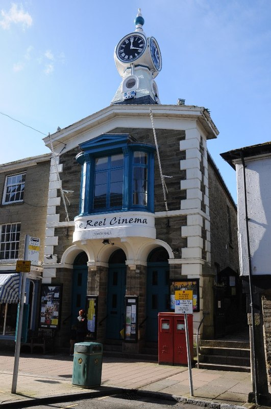
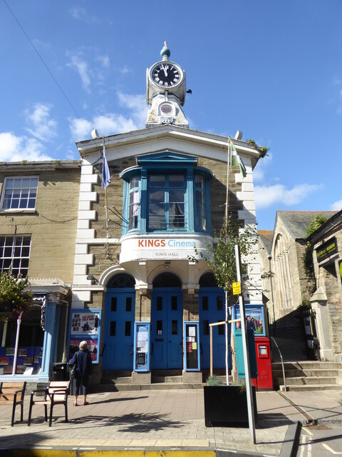
Kingsbridge Town Hall
Kingsbridge Town Hall is a municipal building in Fore Street, Kingsbridge, Devon, England. The town hall, which is currently used as a cinema, is a Grade...

Kingsbridge railway station (England)
Kingsbridge railway station was the terminus station of the single track branch GWR line from Brent to the town of Kingsbridge. == History == The station...

South Hams Hospital
South Hams Hospital is a health facility in Plymouth Road, Kingsbridge, Devon, England. It is managed by University Hospitals Plymouth NHS Trust and formerly...
Nearby Amenities
Located within 500m of 50.285478,-3.769613Have you been to Kingsbridge?
Leave your review of Kingsbridge below (or comments, questions and feedback).