Kings Ripton
Civil Parish in Huntingdonshire Huntingdonshire
England
Kings Ripton
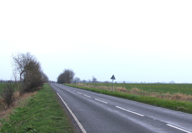
![Roe Deer at Lodge Farm, Huntingdon An aerial view of five deer [Capreolus capreolus] grazing in a snowy stubble field. The young leafy plants could be direct drilled oil-seed rape or similar.](https://s3.geograph.org.uk/geophotos/07/37/51/7375123_77c3cd61.jpg)
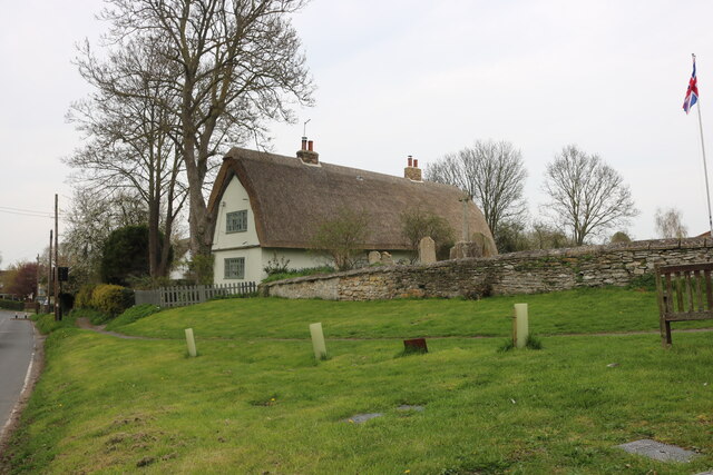
Kings Ripton is a small civil parish located in the historic county of Huntingdonshire, in the eastern part of England. Situated approximately four miles east of Huntingdon, the parish covers an area of about 1,100 acres and is home to a population of around 200 residents.
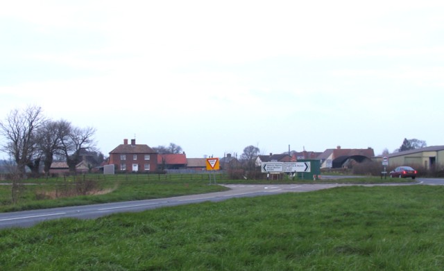
The village of Kings Ripton is nestled in a rural landscape characterized by rolling hills and picturesque countryside. It is primarily an agricultural community, with farming playing a significant role in the local economy. The fertile land surrounding the village is used for the cultivation of crops such as wheat, barley, and oilseed rape.
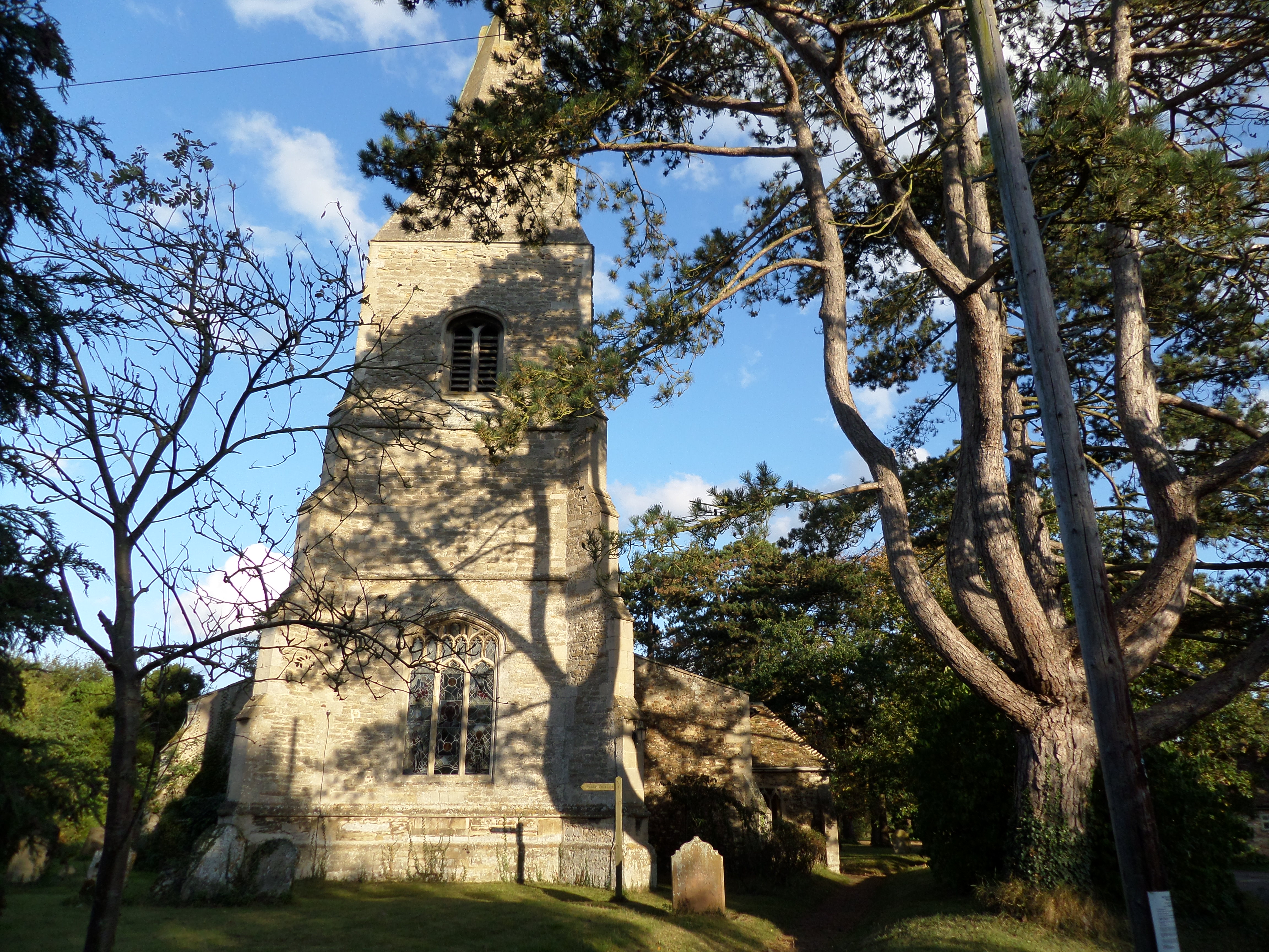
The heart of Kings Ripton is centered around the parish church, St. Peter's, which dates back to the 13th century. This historic building is an integral part of the village's heritage and serves as a place of worship for the local community.
In addition to its agricultural activities, Kings Ripton also offers a range of amenities and services to its residents. These include a village hall, which serves as a hub for community gatherings and events, and a primary school providing education to the local children.
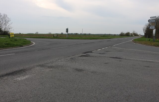
The parish is well-connected to neighboring towns and cities, with good transportation links. The nearby market town of Huntingdon offers a wider range of amenities, including shops, restaurants, and leisure facilities.
Overall, Kings Ripton is a tranquil and close-knit community, providing a peaceful rural lifestyle for its residents, while also benefiting from its proximity to larger towns and cities in the region.
If you have any feedback on the listing, please let us know in the comments section below.
Kings Ripton Images
Images are sourced within 2km of 52.369536/-0.153987 or Grid Reference TL2576. Thanks to Geograph Open Source API. All images are credited.


Kings Ripton is located at Grid Ref: TL2576 (Lat: 52.369536, Lng: -0.153987)
Administrative County: Cambridgeshire
District: Huntingdonshire
Police Authority: Cambridgeshire
What 3 Words
///manicured.central.reseller. Near Houghton, Cambridgeshire
Nearby Locations
Related Wikis

Kings Ripton
Kings Ripton (traditionally King's Ripton) is a village and civil parish in Cambridgeshire, England. Kings Ripton lies approximately 3 miles (5 km) north...

Secret Garden Party
The Secret Garden Party, often colloquially shortened to the SGP, is an independent arts and music festival which takes place in Abbots Ripton near Huntingdon...
Huntingdon Town F.C.
Huntingdon Town Football Club is a football club based in Huntingdon, Cambridgeshire, England. They are currently members of the Spartan South Midlands...
Broughton, Cambridgeshire
Broughton is a village and civil parish in the Huntingdonshire district of Cambridgeshire, England, around six miles north of Huntingdon. Broughton is...

Great Stukeley Railway Cutting
Great Stukeley Railway Cutting is a 34.7-hectare (86-acre) biological Site of Special Scientific Interest in Huntingdon in Cambridgeshire.The site is on...

Huntingdon and Peterborough
Huntingdon and Peterborough was a short-lived administrative and geographical county in East Anglia in the United Kingdom. It existed from 1965 to 1974...

Hartford, Cambridgeshire
Hartford is a suburb of Huntingdon and former civil parish, now in the parish of Huntingdon, in Cambridgeshire, England. Historically part of Huntingdonshire...

Abbots Ripton
Abbots Ripton is a village and civil parish in Cambridgeshire, England. Abbots Ripton is situated within Huntingdonshire which is a non-metropolitan district...
Nearby Amenities
Located within 500m of 52.369536,-0.153987Have you been to Kings Ripton?
Leave your review of Kings Ripton below (or comments, questions and feedback).