Kidderminster
Civil Parish in Worcestershire Wyre Forest
England
Kidderminster
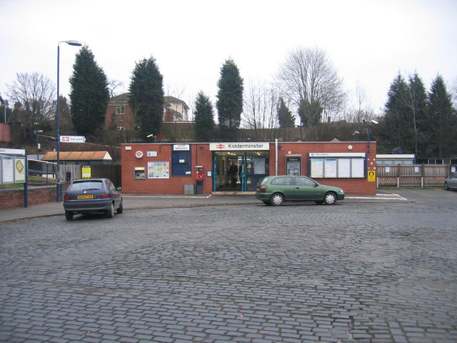
Kidderminster is a town located in the county of Worcestershire, in the West Midlands region of England. It is situated approximately 17 miles south-west of Birmingham and 15 miles north of Worcester. Kidderminster is a civil parish and falls within the Wyre Forest district.
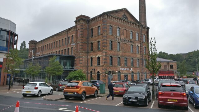
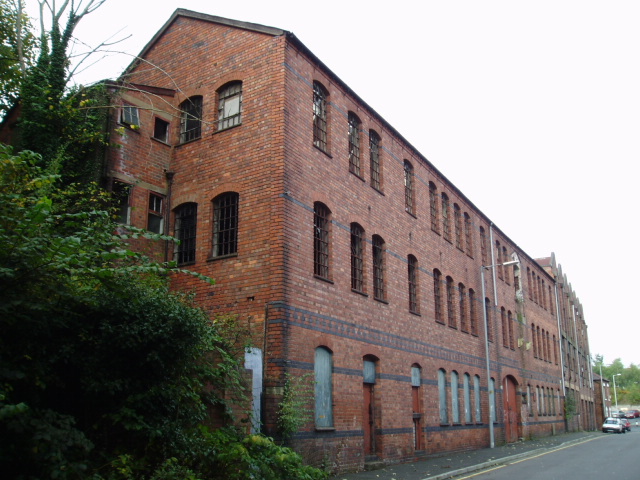
The town has a rich history dating back to the 12th century when it was known for its wool trade. This industry played a significant role in the town's growth and prosperity. Today, Kidderminster is a vibrant town with a population of around 55,000 residents.
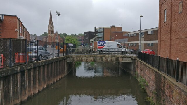
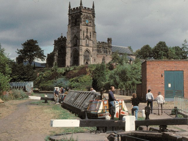
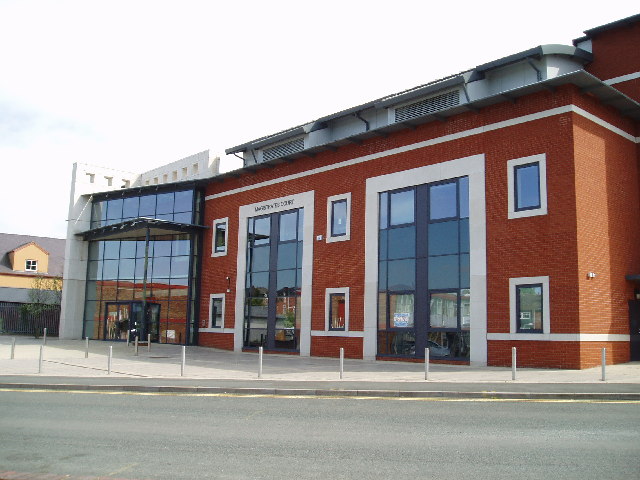
Kidderminster offers a mix of modern amenities and historic charm. The town center features a variety of shops, restaurants, and leisure facilities. The bustling market town atmosphere makes it a popular destination for locals and visitors alike.
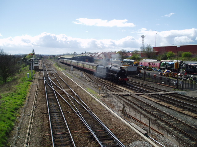
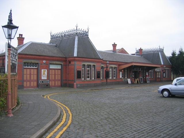
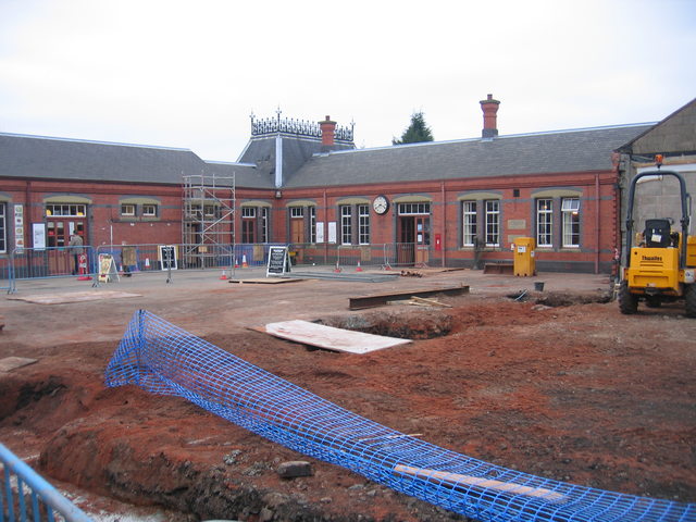
One of the notable attractions in Kidderminster is the Severn Valley Railway, a heritage railway that runs for 16 miles from Kidderminster to Bridgnorth. It attracts steam railway enthusiasts from all over the country. The town is also home to the Kidderminster Harriers, a semi-professional football club with a loyal following.
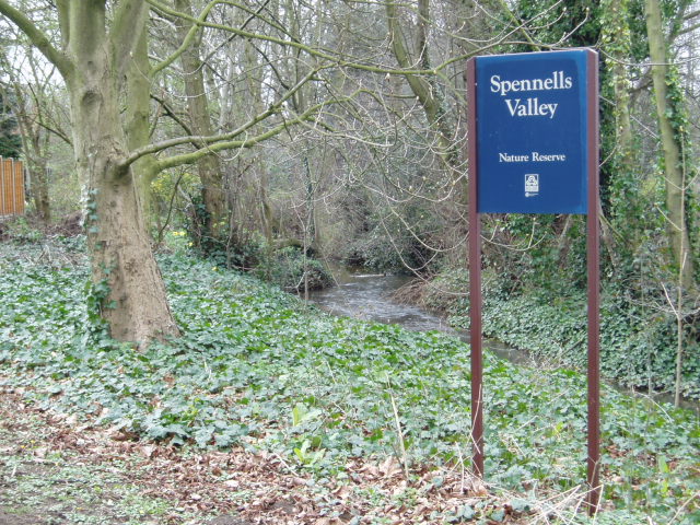
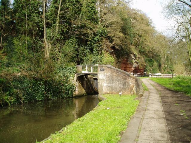
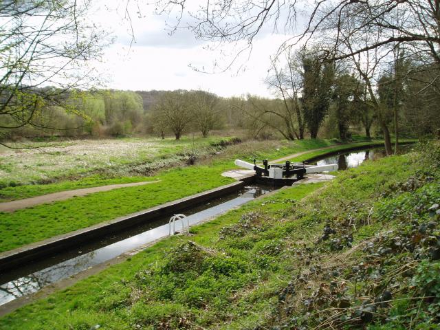
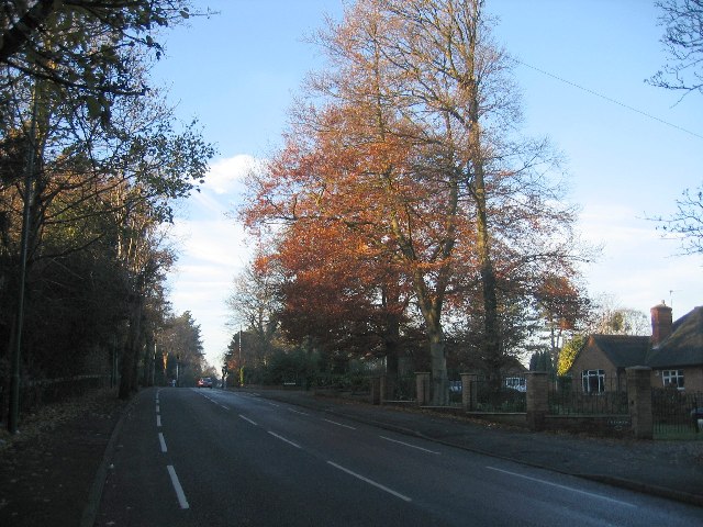
The surrounding countryside of Kidderminster provides opportunities for outdoor activities such as walking, cycling, and fishing. The nearby Wyre Forest offers a tranquil escape with its ancient woodlands and scenic trails.
Overall, Kidderminster is a town that combines its historical roots with modern amenities, making it an appealing place to live and visit.
If you have any feedback on the listing, please let us know in the comments section below.
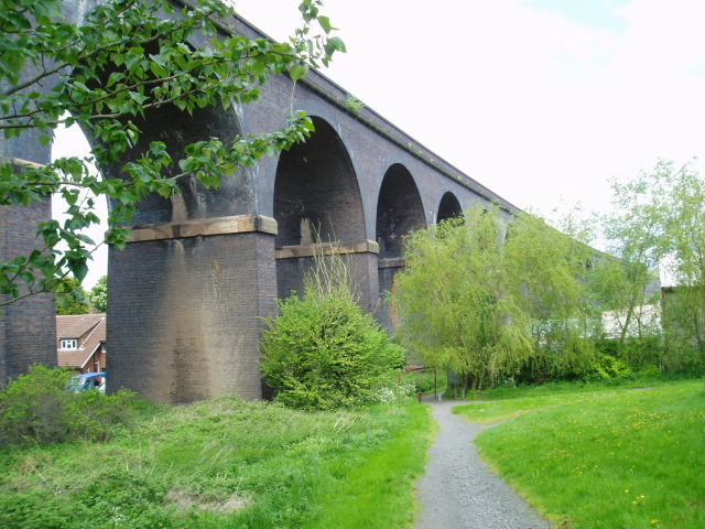
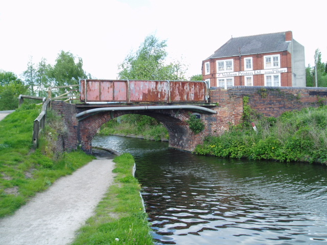
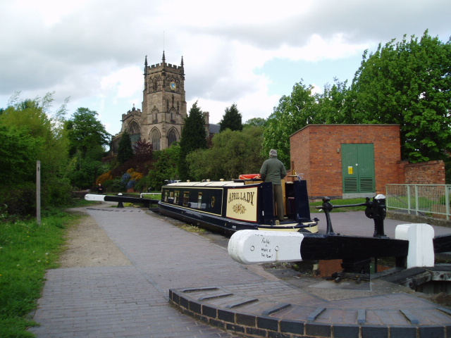
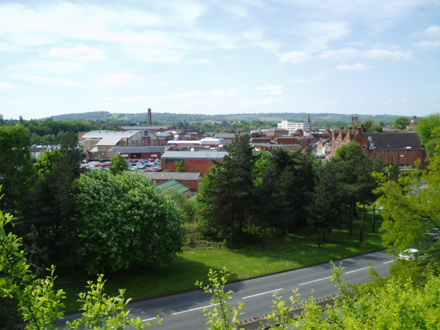
Kidderminster Images
Images are sourced within 2km of 52.382277/-2.250244 or Grid Reference SO8376. Thanks to Geograph Open Source API. All images are credited.
Kidderminster is located at Grid Ref: SO8376 (Lat: 52.382277, Lng: -2.250244)
Administrative County: Worcestershire
District: Wyre Forest
Police Authority: West Mercia
What 3 Words
///scared.loser.occupy. Near Kidderminster, Worcestershire
Nearby Locations
Related Wikis

Caldwall Castle
Caldwall Castle, also spelt Caldwell Castle and now known as Caldwall Tower, is a former manor house in the town of Kidderminster in Worcestershire, England...

Kidderminster College
Kidderminster College is a post 16 Comprehensive College in Kidderminster, England providing full and part-time adult education. The College offers courses...

Museum of Carpet
The Museum of Carpet is a textile museum in the town of Kidderminster in Worcestershire, England. == History == A Carpet Museum Trust was founded in 1981...

Military Wireless Museum in the Midlands
The Military Wireless Museum is a private museum operated from Kidderminster, Worcestershire which displays a collection of military wireless equipment...
The Wyre
107.2 The Wyre was an Independent Local Radio station serving Kidderminster, Bewdley, Stourport-on-Severn, Stourbridge and Bromsgrove in England. The station...
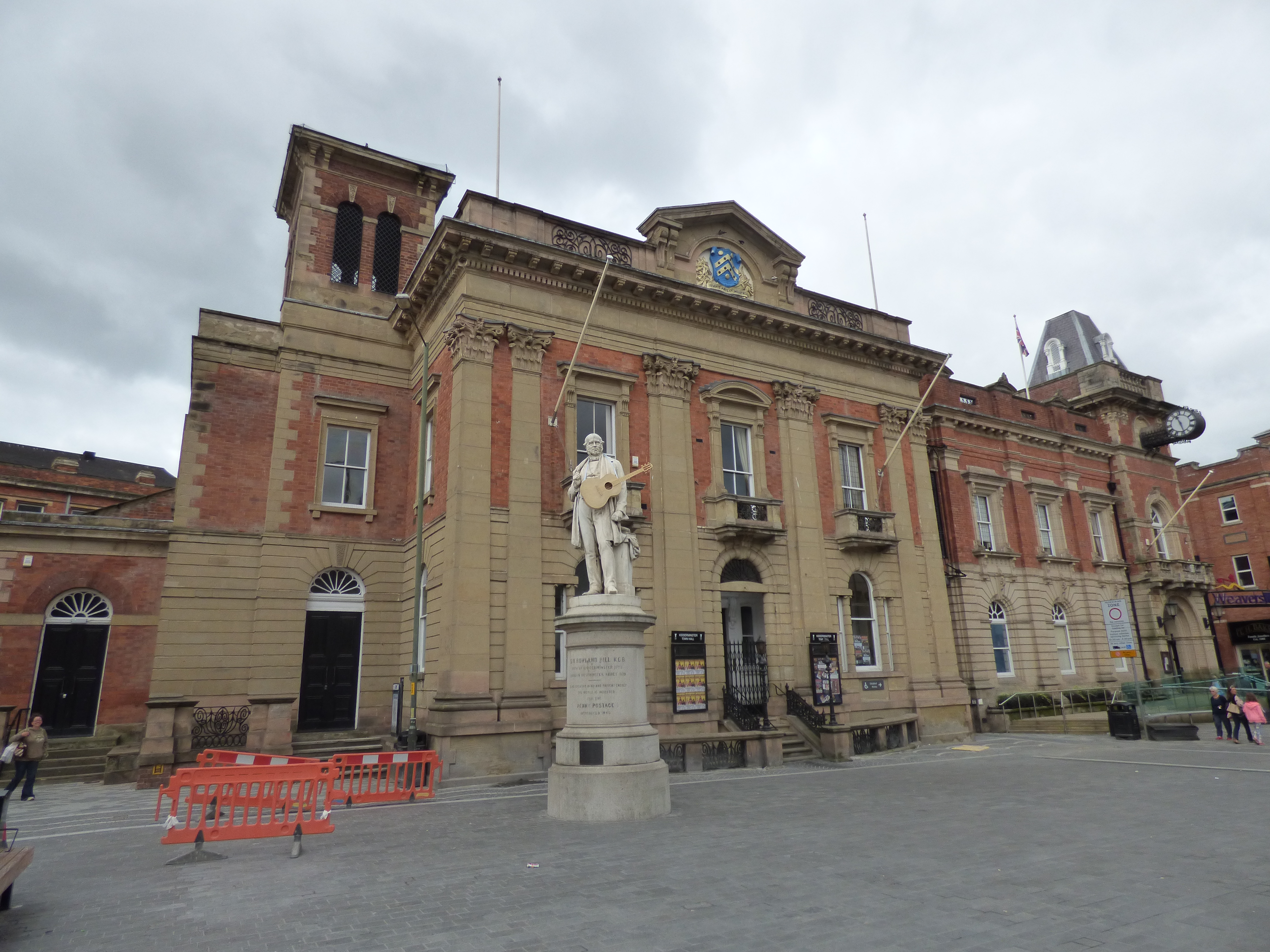
Kidderminster Town Hall
Kidderminster Town Hall is the town hall of Kidderminster, Worcestershire, England. The complex, which includes the corn exchange and the town hall and...
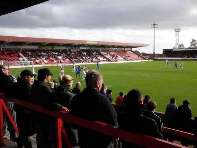
Aggborough Stadium
Aggborough Stadium is a football stadium in Kidderminster, England. It is the home ground of Kidderminster Harriers, and has a capacity of 7,000, of which...
Municipal Borough of Kidderminster
The Municipal Borough of Kidderminster was a local government district in Worcestershire, that existed from 1835 to 1974. It was abolished in 1974 under...
Nearby Amenities
Located within 500m of 52.382277,-2.250244Have you been to Kidderminster?
Leave your review of Kidderminster below (or comments, questions and feedback).