Brookhampton
Settlement in Oxfordshire South Oxfordshire
England
Brookhampton

Brookhampton is a picturesque village located in the county of Oxfordshire, England. Situated in the idyllic Cotswolds region, it is surrounded by rolling hills, lush green countryside, and charming traditional English cottages. The village is located approximately 10 miles southwest of Oxford and is easily accessible by road.
Brookhampton is a small and close-knit community, with a population of around 500 residents. The village is known for its tranquil and peaceful atmosphere, making it an ideal place for those seeking a break from the hustle and bustle of city life. The local residents take pride in maintaining the village's quaint character, with many well-kept gardens and flower-filled streets.
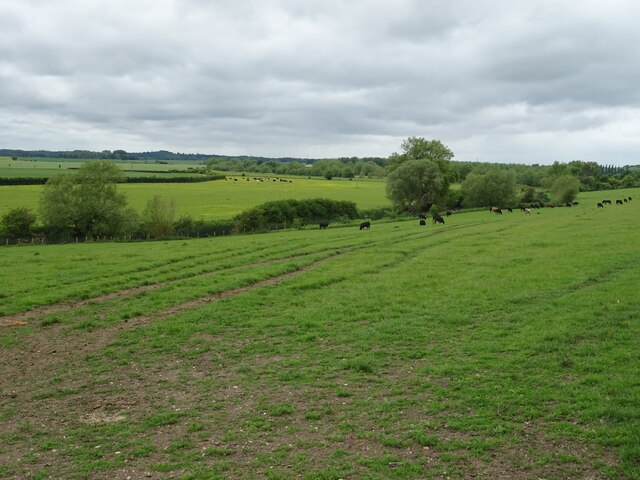
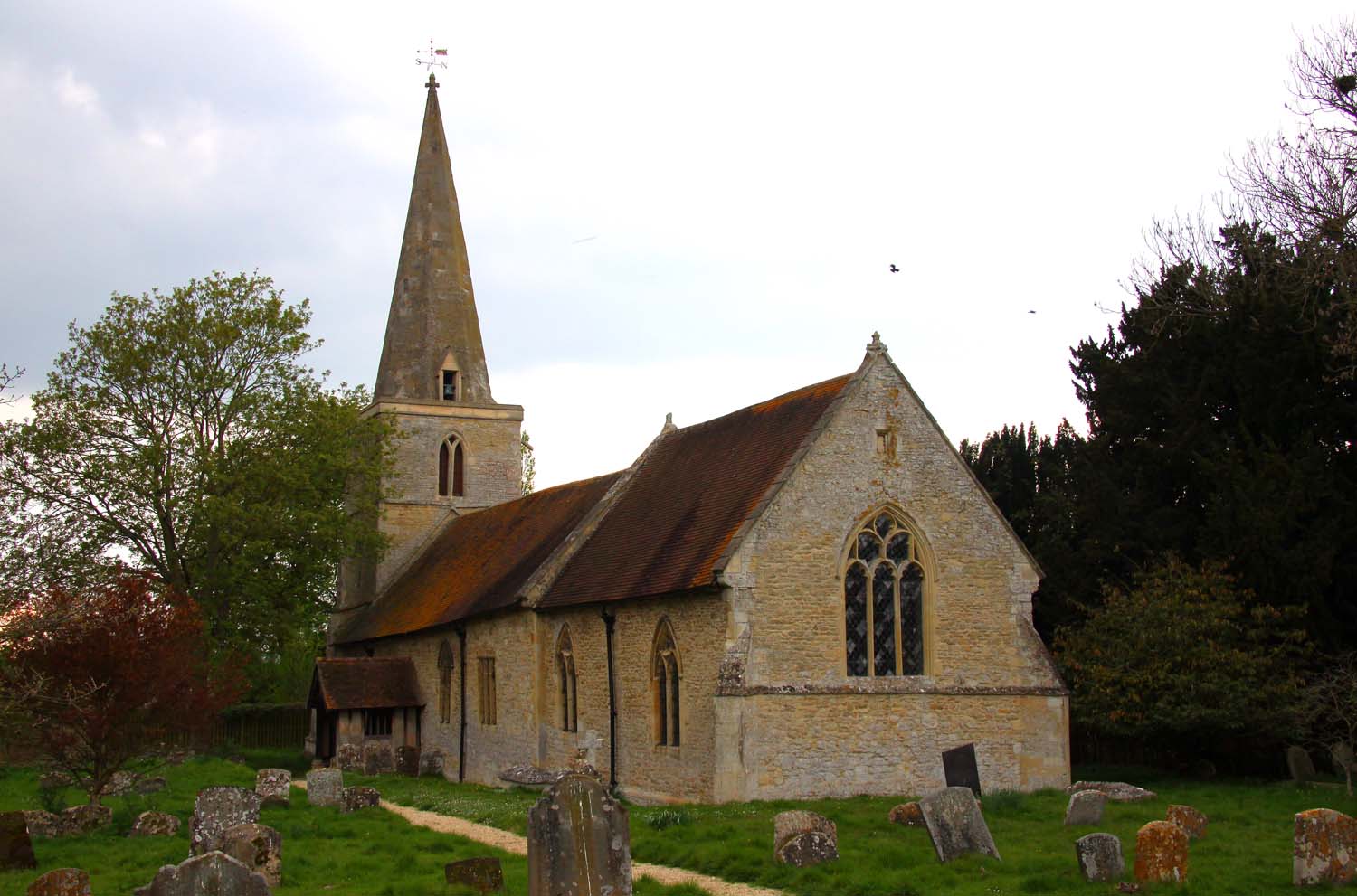
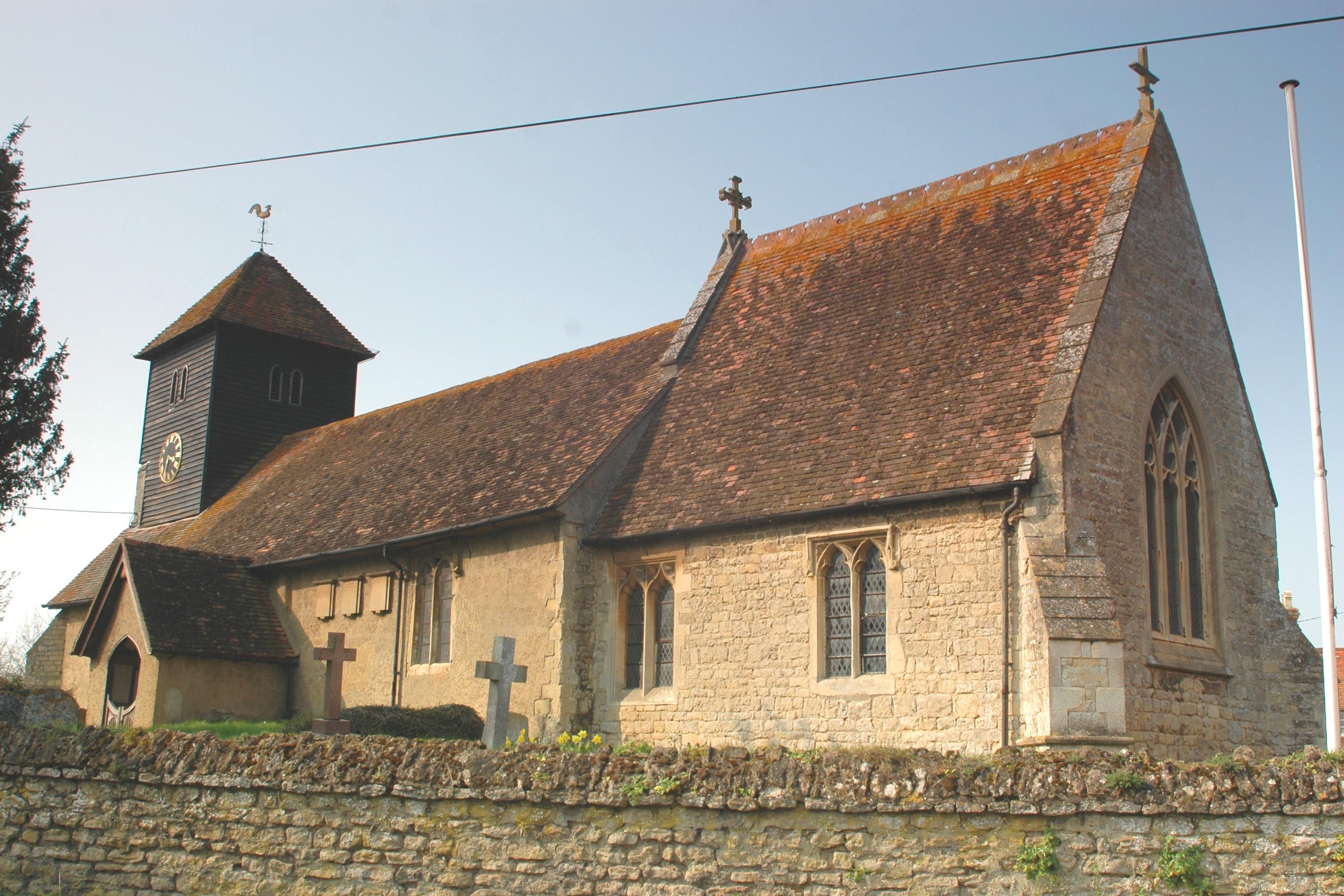
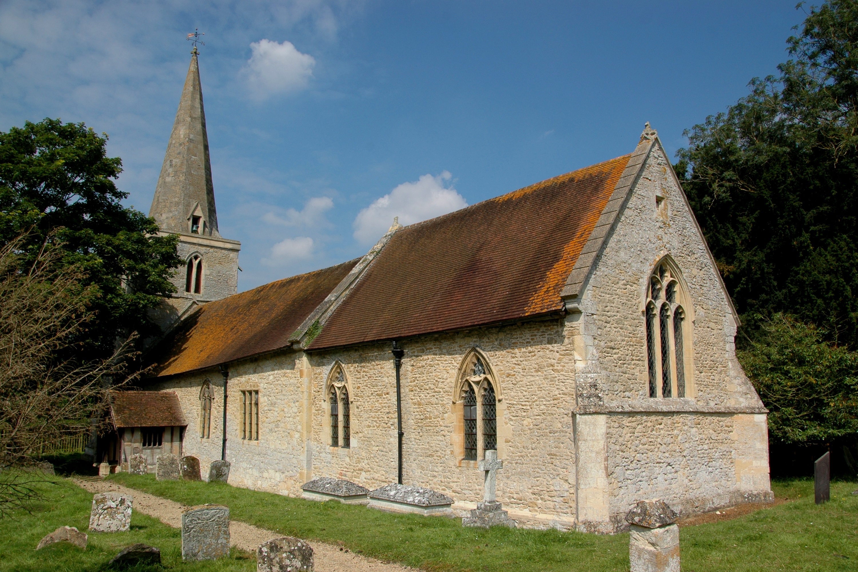
The heart of Brookhampton is its village green, a spacious and well-maintained area where locals gather for picnics, games, and community events. The green is also home to a historic 12th-century church, which adds a touch of ancient charm to the village's landscape.
In terms of amenities, Brookhampton boasts a small but vibrant local pub, The Red Lion, which serves as a popular meeting place for both villagers and visitors alike. The pub offers a selection of traditional English meals and ales, showcasing the region's culinary delights.
For those who enjoy outdoor activities, Brookhampton offers plenty of opportunities for countryside walks and cycling. The village is surrounded by scenic trails that take visitors through picturesque landscapes and offer breathtaking views of the Cotswolds.
Overall, Brookhampton is a hidden gem in Oxfordshire, offering a peaceful retreat and a glimpse into the quintessential English countryside.
If you have any feedback on the listing, please let us know in the comments section below.
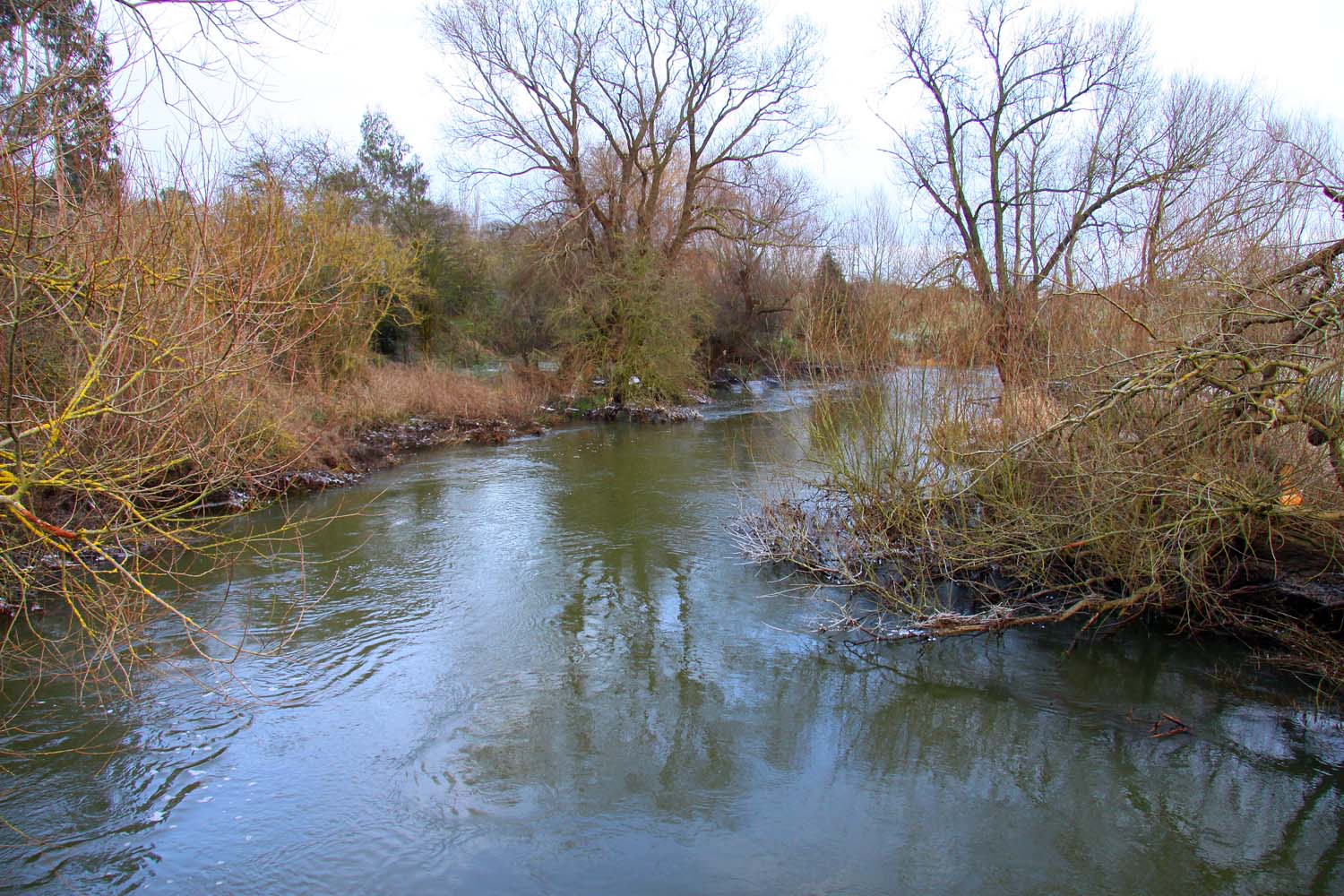
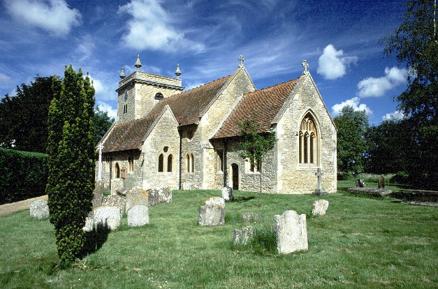
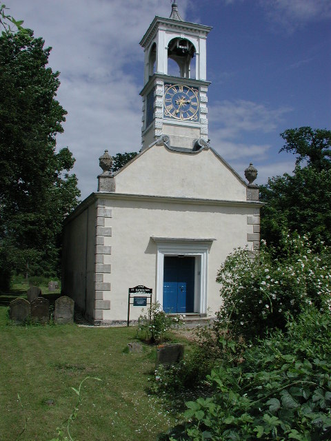
Brookhampton Images
Images are sourced within 2km of 51.680301/-1.132434 or Grid Reference SU6098. Thanks to Geograph Open Source API. All images are credited.


Brookhampton is located at Grid Ref: SU6098 (Lat: 51.680301, Lng: -1.132434)
Administrative County: Oxfordshire
District: South Oxfordshire
Police Authority: Thames Valley
What 3 Words
///holidays.alarming.requiring. Near Chalgrove, Oxfordshire
Nearby Locations
Related Wikis
Brookhampton, Oxfordshire
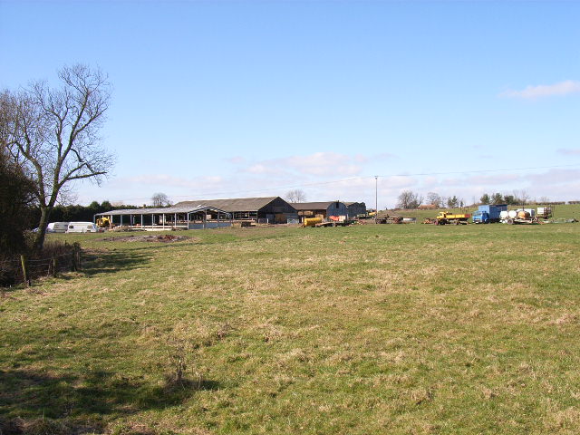
Brookhampton is a hamlet in the village and civil parish of Stadhampton, 5 miles (8.0 km) north of Wallingford, in South Oxfordshire, England.
Stadhampton
Stadhampton is a village and civil parish about 7 miles (11 km) southeast of Oxford in South Oxfordshire, England. Stadhampton is close to the River Thame...
Chiselhampton
Chiselhampton is a village in the civil parish of Stadhampton, on the River Thame, in the South Oxfordshire district, in the county of Oxfordshire, England...

Ascott, Oxfordshire
Ascott is a hamlet and manor house in the English county of Oxfordshire. Ascott lies close to the River Thame north of Dorchester, around about 7 miles...
Beauforest House
Beauforest House is a historic house, near Newington, Oxfordshire, England. It has been listed Grade II on the National Heritage List for England since...
Drayton St. Leonard
Drayton St. Leonard is a village and civil parish on the River Thame in Oxfordshire, about 8 miles (13 km) southeast of Oxford. == Manor == The Domesday...
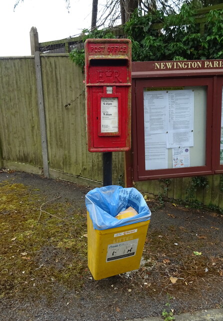
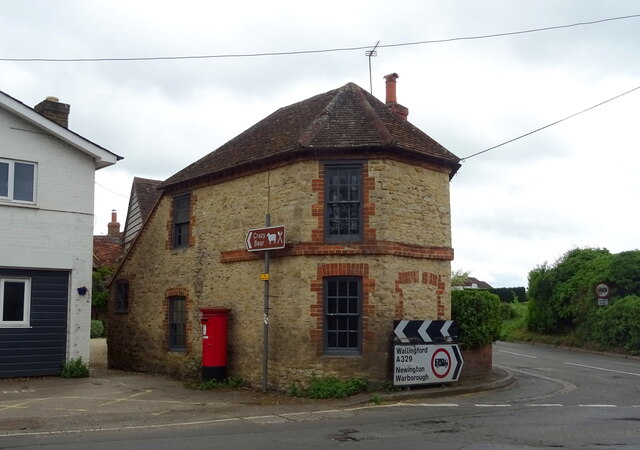
Newington, Oxfordshire
Newington is a village and civil parish in South Oxfordshire, about 4+1⁄2 miles (7 km) north of Wallingford. The 2011 Census recorded the parish's population...
Great Holcombe
Great Holcombe is a hamlet in Newington civil parish in South Oxfordshire, about 4.5 miles (7.2 km) north of Wallingford. == References ==
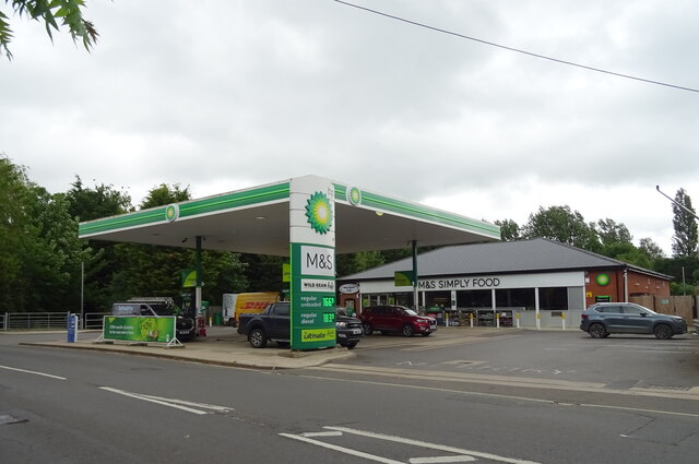
Nearby Amenities
Located within 500m of 51.680301,-1.132434Have you been to Brookhampton?
Leave your review of Brookhampton below (or comments, questions and feedback).