Kenton
Civil Parish in Devon Teignbridge
England
Kenton
Kenton is a civil parish located in the county of Devon, England. Situated about 7 miles south of the city of Exeter, it is bordered by the River Exe to the west and the A379 road to the east. The parish encompasses the village of Kenton, along with several surrounding hamlets and rural areas.
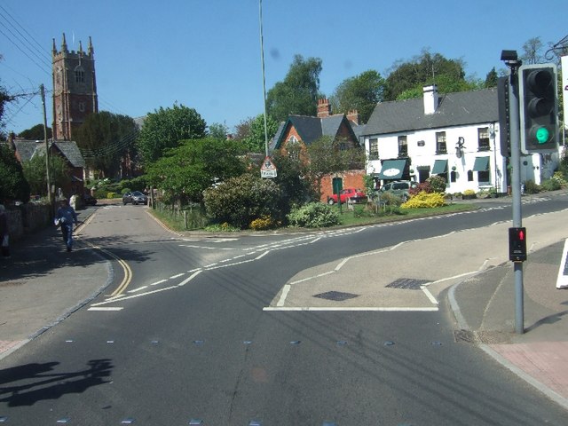
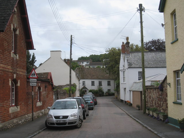
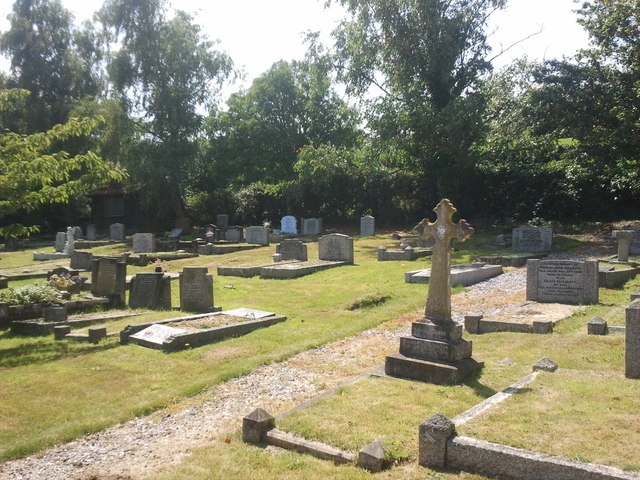
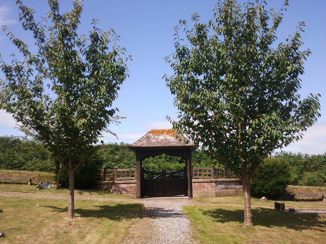
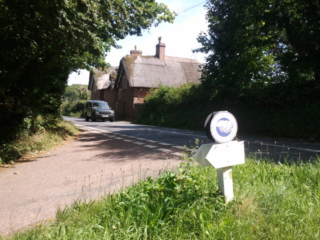
The village of Kenton is a charming and picturesque settlement with a population of around 1,700 residents. It is known for its historic buildings, including St. Mary's Church, which dates back to the 14th century and features a beautiful tower. The village also has a primary school, village hall, post office, and a few local shops and pubs, providing essential amenities for the community.
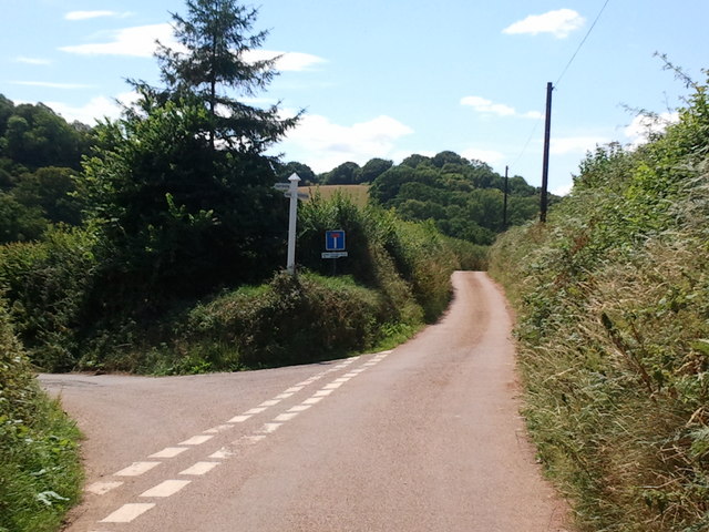
Kenton is surrounded by stunning countryside, making it an ideal location for outdoor enthusiasts. The nearby Haldon Forest Park offers various trails for hiking, cycling, and horse riding, while the River Exe provides opportunities for fishing and boating. The area is also home to Powderham Castle, a grand stately home with beautiful grounds that is open to the public.
The parish has a strong sense of community, with various events and activities organized throughout the year, including a summer fete and an annual scarecrow festival. Kenton is well-connected by road, with the A379 providing easy access to Exeter and other nearby towns. Additionally, there are regular bus services that connect the village to the surrounding areas.
If you have any feedback on the listing, please let us know in the comments section below.
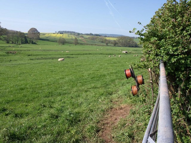
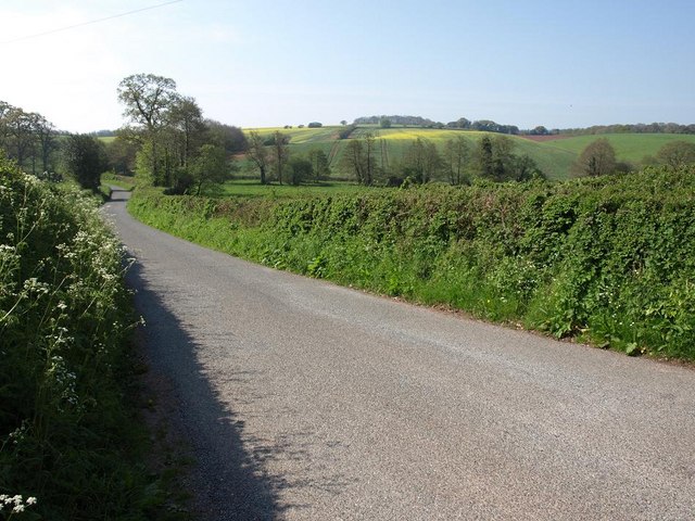
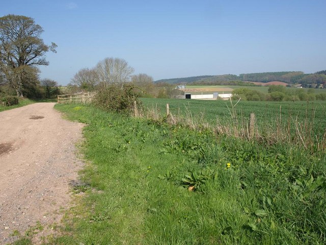
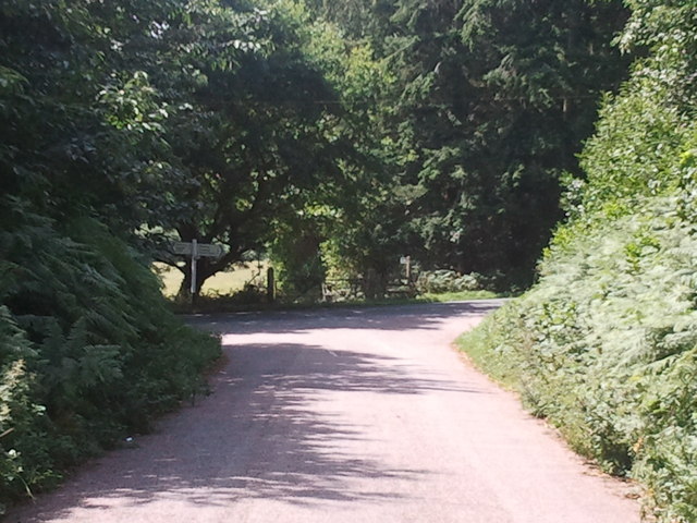
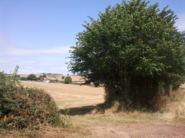
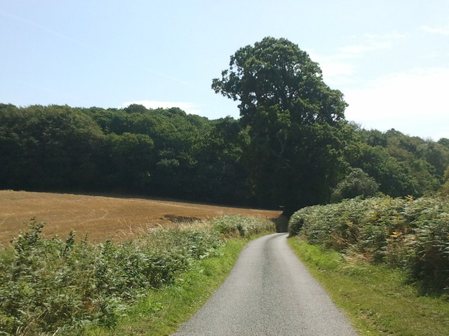
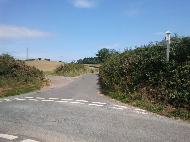
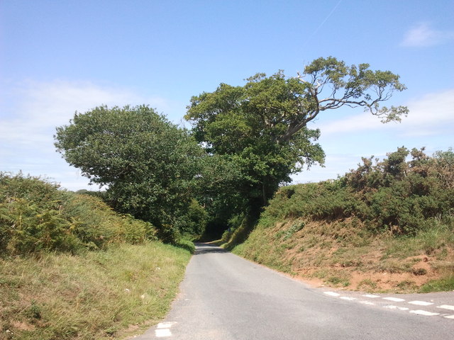
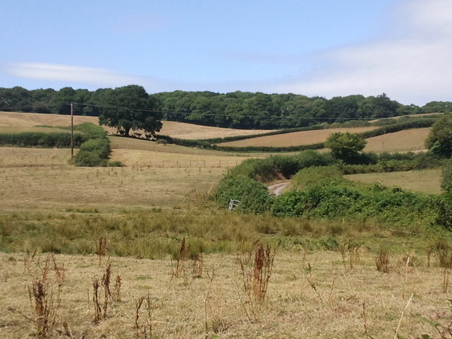
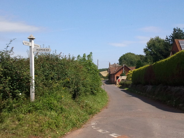
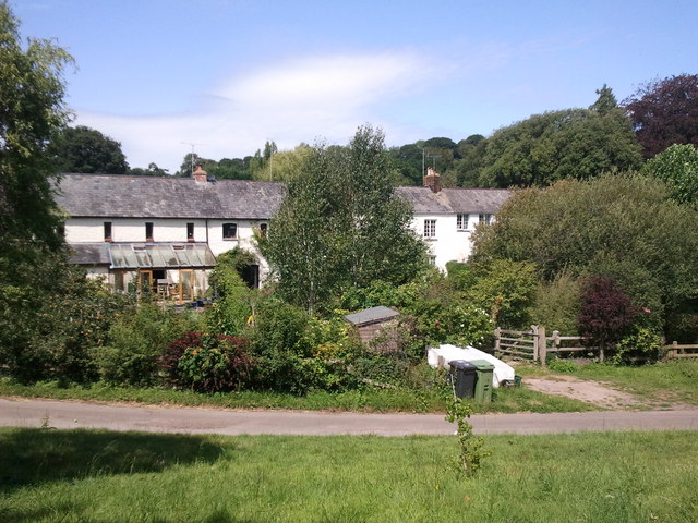
Kenton Images
Images are sourced within 2km of 50.640514/-3.500815 or Grid Reference SX9383. Thanks to Geograph Open Source API. All images are credited.

Kenton is located at Grid Ref: SX9383 (Lat: 50.640514, Lng: -3.500815)
Administrative County: Devon
District: Teignbridge
Police Authority: Devon & Cornwall
What 3 Words
///diplomat.gadgets.buildings. Near Kenton, Devon
Nearby Locations
Related Wikis
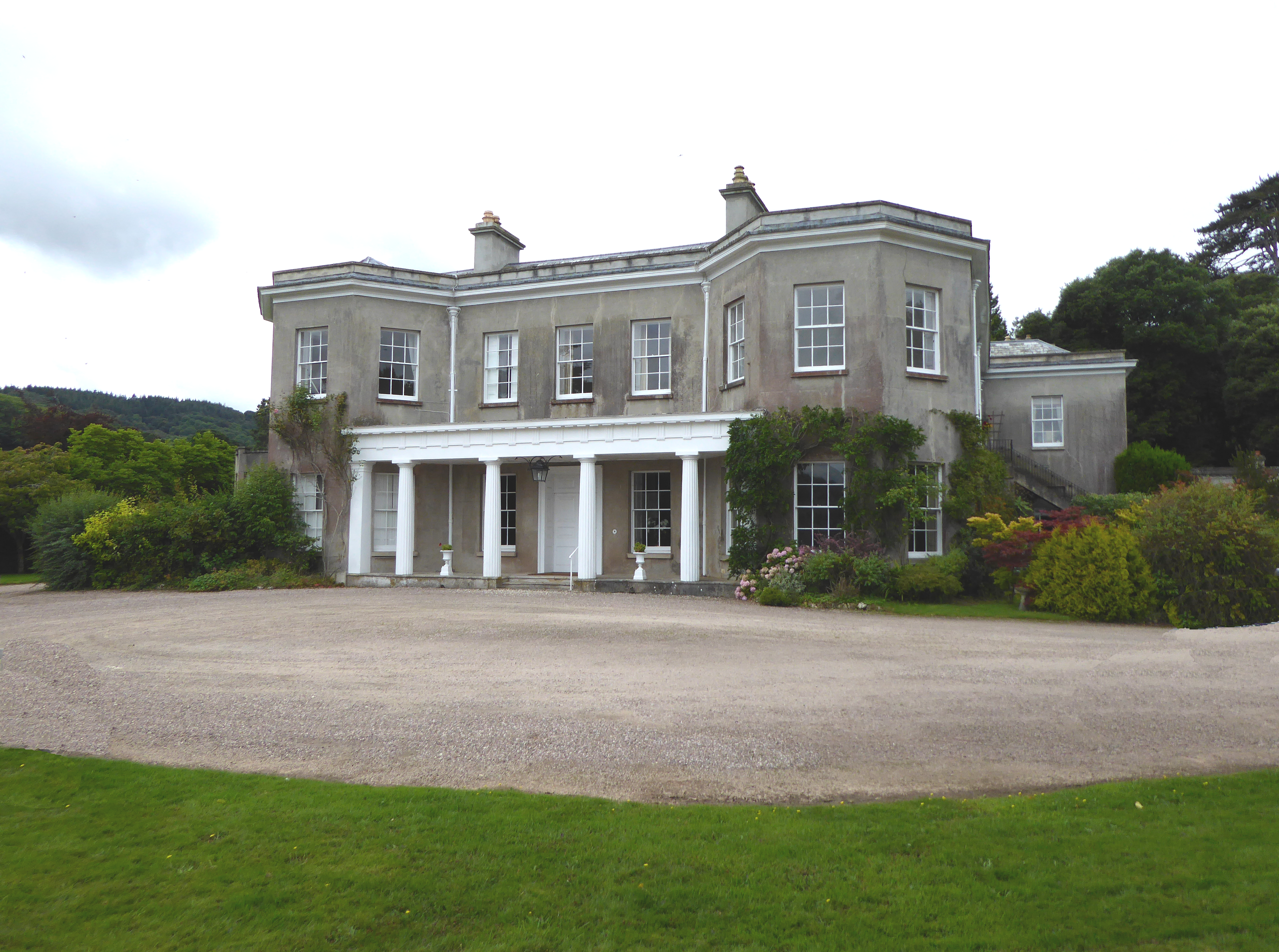
Oxton, Kenton
Oxton in the parish of Kenton in South Devon is a historic estate long held by the Martyn family, a junior branch of the Norman family of FitzMartin, feudal...

Kenton, Devon
Kenton is a village and civil parish located near Exeter, the county town of Devon, England. It has one restaurant, a hairdresser, a primary school, a...

Mamhead
Mamhead is a rural village and civil parish near Dawlish and Kenton in Devon, South West England, in the Teignbridge local authority area. Current community...

Mamhead House
Mamhead House, Mamhead, Devon, is a country house dating from 1827. Its origins are older but the present building was constructed for Robert William Newman...
Nearby Amenities
Located within 500m of 50.640514,-3.500815Have you been to Kenton?
Leave your review of Kenton below (or comments, questions and feedback).