Kenswick

Civil Parish in Worcestershire Malvern Hills

England

Kenswick

Cob House Fisheries This is the nearly new Mayfly Cafe and reception area. The fisheries now boast various animals and walks to delight the visitor.
Cob House Fisheries Credit: Chris Allen

Kenswick is a civil parish located in the county of Worcestershire, England. Situated in the Malvern Hills District, it is a small and picturesque village that encompasses an area of approximately 2 square miles. The parish is bordered by the towns of Great Malvern and Upton upon Severn, with the beautiful Malvern Hills serving as a stunning backdrop to the village.

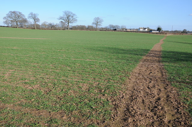
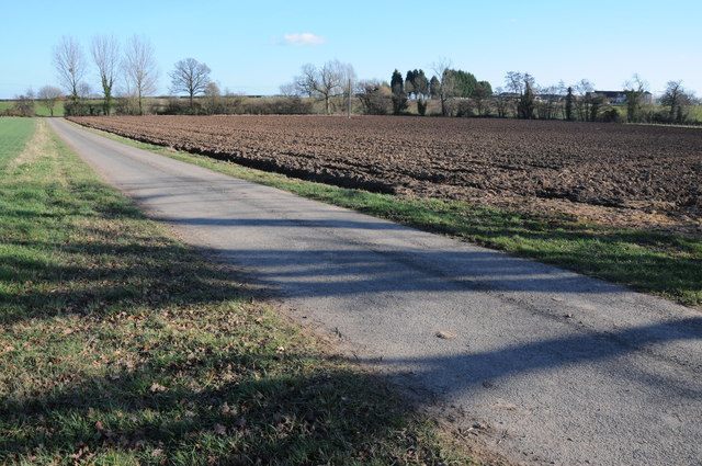
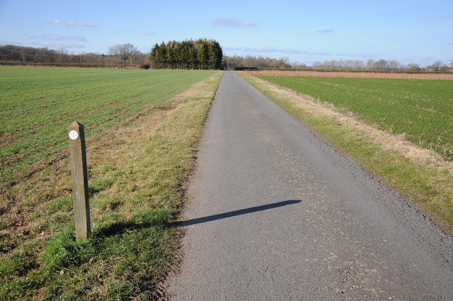
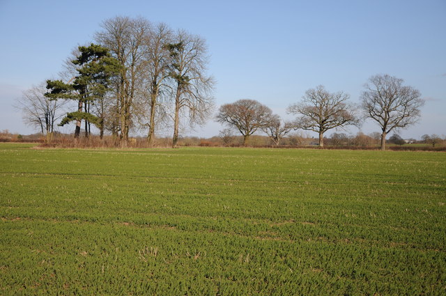
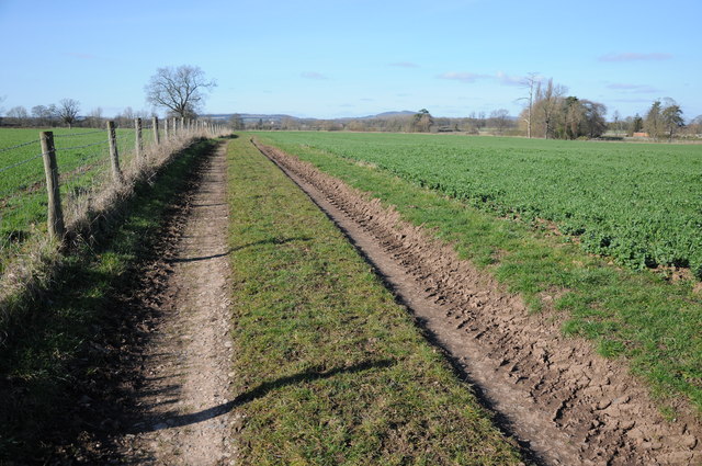
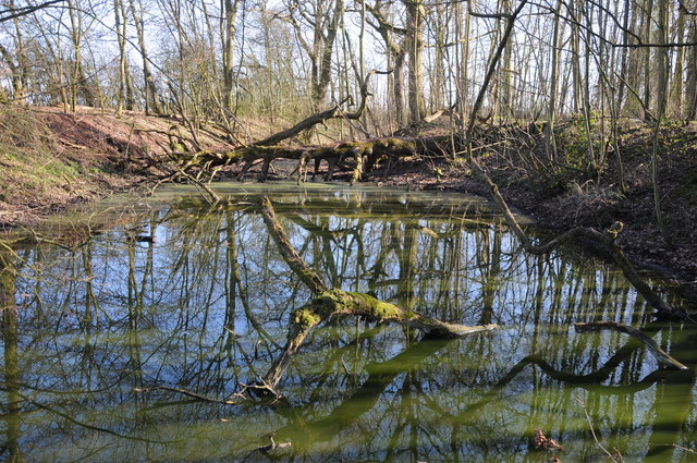
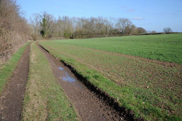
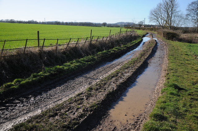
Kenswick is a predominantly rural area, characterized by its lush green fields, rolling hills, and idyllic countryside scenery. The landscape offers plenty of opportunities for outdoor activities such as hiking, cycling, and horse riding, making it a popular destination for nature enthusiasts and visitors seeking tranquility.

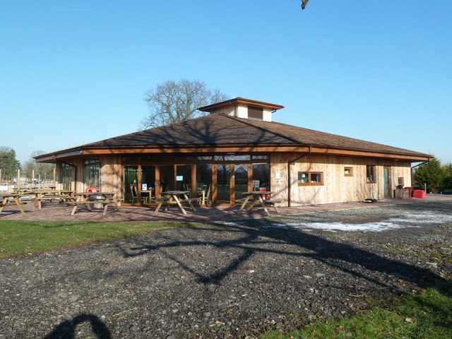
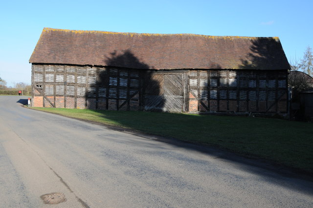
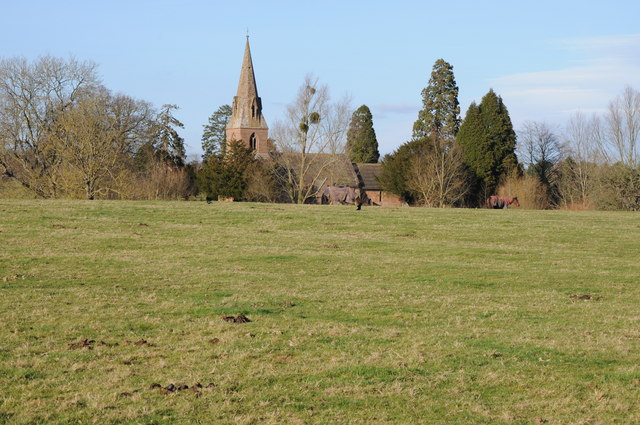
The village itself is home to a close-knit community, with a population of around 300 residents. It boasts a charming mix of traditional cottages, farmhouses, and newer properties, giving it a unique and varied architectural character. Kenswick also features a handful of local amenities, including a village hall, a small pub, and a church, providing a sense of community and a focal point for social gatherings.

Despite its rural setting, Kenswick benefits from its proximity to nearby towns, where residents can access a wider range of services and amenities. The village is well-connected by road, with the A4104 providing easy access to Worcester and Tewkesbury, while the nearby Malvern Link railway station connects residents to larger cities like Birmingham and London.

Overall, Kenswick is a peaceful and picturesque civil parish, offering a tranquil lifestyle in the heart of the Worcestershire countryside.

If you have any feedback on the listing, please let us know in the comments section below.
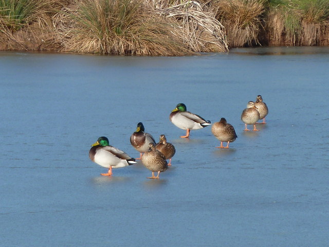
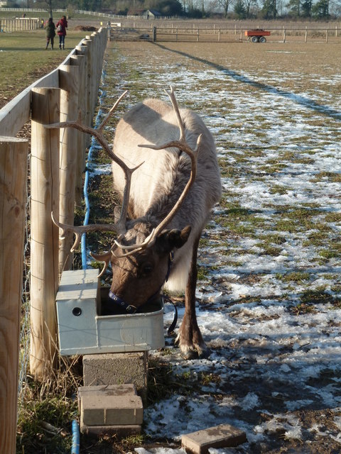
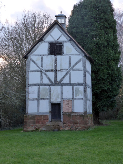
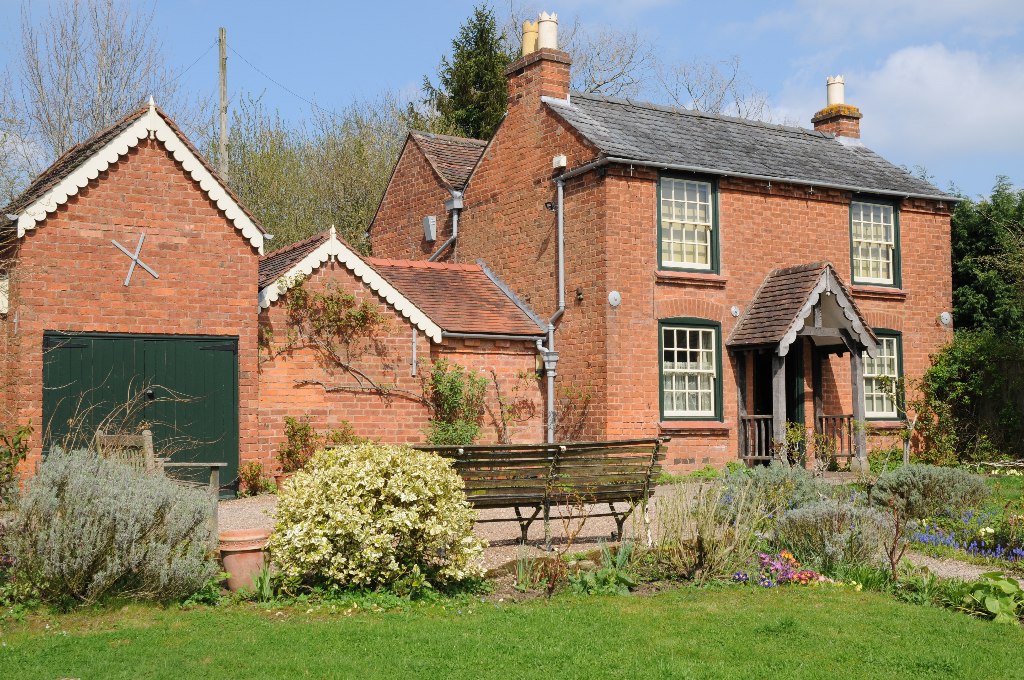
Kenswick Images

Images are sourced within 2km of 52.221368/-2.310192 or Grid Reference SO7858. Thanks to Geograph Open Source API. All images are credited.

Cob House Fisheries This is the nearly new Mayfly Cafe and reception area. The fisheries now boast various animals and walks to delight the visitor.
Cob House Fisheries
This is the nearly new Mayfly Cafe and reception area. The fisheries now boast various animals and walks to delight the visitor.
Cob House Fisheries - Robin On the edge of the fishing pond called Wyatts. Very often there are fishing competitions at the weekend and the public are kept out of this area. But not today - the lakes were largely frozen.
Cob House Fisheries - Robin
On the edge of the fishing pond called Wyatts. Very often there are fishing competitions at the weekend and the public are kept out of this area. But not today - the lakes were largely frozen.
Laurel Pool - Cob House Fisheries
Potential life saver - Cob House Fisheries This pool is called Pear and is a no fishing area.
Potential life saver - Cob House Fisheries
This pool is called Pear and is a no fishing area.
Ducks walk on water - Cob House Fisheries Well it is frozen! The fishing lake called Wyatts with 30 pegs.
Ducks walk on water - Cob House Fisheries
Well it is frozen! The fishing lake called Wyatts with 30 pegs.
Thirsty reindeer - Cob House Fisheries The position and direction are approximate because this development is not on the aerial photograph.
Thirsty reindeer - Cob House Fisheries
The position and direction are approximate because this development is not on the aerial photograph.
Who're you looking at? Cob House Fisheries Position and direction approximate. The Fisheries now have goats, Alpacas (this is one), Reindeer and Kune Kune pigs to delight the visitor. I'm no Peter Trimming though.
Who're you looking at? Cob House Fisheries
Position and direction approximate. The Fisheries now have goats, Alpacas (this is one), Reindeer and Kune Kune pigs to delight the visitor. I'm no Peter Trimming though.
Footpath to Greenstreet Farm Footpath through an arable field to Greenstreet Farm to the south-east of Wichenford.
Footpath to Greenstreet Farm
Footpath through an arable field to Greenstreet Farm to the south-east of Wichenford.
Track near Wichenford Court Track near Wichenford Court with Hill Farm visible in the background on the right.
Track near Wichenford Court
Track near Wichenford Court with Hill Farm visible in the background on the right.
Road to Hill Farm, Wichenford The post on the left indicating the route of the public footpath suggests it has been rerouted and now follows the drive rather than running parallel with the road for a short distance.
Road to Hill Farm, Wichenford
The post on the left indicating the route of the public footpath suggests it has been rerouted and now follows the drive rather than running parallel with the road for a short distance.
Trees near Kenswick Manor First impressions suggest the clump of trees on the left are on the site of a tumulus, I thought I could even see a standing stone.  A quick look at the OS map reveals nothing and then I look through my binoculars and realise what I think is a standing stone is the stump of a large felled dead tree.
Trees near Kenswick Manor
First impressions suggest the clump of trees on the left are on the site of a tumulus, I thought I could even see a standing stone. A quick look at the OS map reveals nothing and then I look through my binoculars and realise what I think is a standing stone is the stump of a large felled dead tree.
Farm track and arable land Farm track to the south of Kenswick Manor.
Farm track and arable land
Farm track to the south of Kenswick Manor.
Pool in a wood Trees reflected in a pool in a small wood near Kenswick Manor.
Pool in a wood
Trees reflected in a pool in a small wood near Kenswick Manor.
Track and arable field Track and arable field near Kenswick Mill.
Track and arable field
Track and arable field near Kenswick Mill.
Track to Woodhall Farm Track to Woodhall Farm near Blackpool Coppice.
Track to Woodhall Farm
Track to Woodhall Farm near Blackpool Coppice.
Barn at Wichenford Court
Wichenford church Wichenford church viewed from near Wichenford Court.
Wichenford church
Wichenford church viewed from near Wichenford Court.
Wichenford Dovecote A National Trust Property that is always accessible. It was decidedly dusk when I visited. The little door at the bottom can be unchained to give access to the interior.
Wichenford Dovecote
A National Trust Property that is always accessible. It was decidedly dusk when I visited. The little door at the bottom can be unchained to give access to the interior.
Show me another place!

Kenswick is located at Grid Ref: SO7858 (Lat: 52.221368, Lng: -2.310192)

Administrative County: Worcestershire

District: Malvern Hills

Police Authority: West Mercia

What 3 Words

///overgrown.chat.hydration. Near Lower Broadheath, Worcestershire

Nearby Locations

Kenswick

Related Wikis

Kenswick, Worcestershire

Kenswick is a village and civil parish (with Wichenford) in the Malvern Hills District in the county of Worcestershire, England. == External links... ==

Wichenford

Wichenford is a village and civil parish (with Kenswick) in the Malvern Hills District in the county of Worcestershire, England. It lies 7 miles (11km...

Upper Broadheath

Upper Broadheath is an area in the village of Lower Broadheath. It is not a separate village. Worcestershire, England. It is in the Malvern Hills District...

Lower Broadheath

Lower Broadheath is a village and civil parish in the Malvern Hills district of Worcestershire, England. According to the 2011 census it had a population...

Cotheridge

Cotheridge is a village and civil parish in the district of Malvern Hills in the county of Worcestershire, England. It is 4 miles (6 km) west of the...

Elgar Birthplace Museum

The Firs in Lower Broadheath, Worcestershire, England was the birthplace of Edward Elgar. The cottage now houses a museum administered by the National...

A44 road

The A44 is a major road in the United Kingdom that runs from Oxford in southern England to Aberystwyth in west Wales. == History == The original (1923...

St Leonard's Church, Cotheridge

St. Leonard's Church is a small, 12th-century church located in the scattered village of Cotheridge in Worcestershire. It stands not far from the manor...

Nearby Amenities

Located within 500m of 52.221368,-2.310192
Power: pole
Lat/Long: 52.2253498/-2.3114807
Power: pole
Lat/Long: 52.2220587/-2.312303
Power: pole
Lat/Long: 52.2202994/-2.3140111
Power: pole
Lat/Long: 52.2186365/-2.3158511
Power: pole
Lat/Long: 52.2194772/-2.3148725
Power: pole
Lat/Long: 52.2236886/-2.3120857
Power: pole
Lat/Long: 52.2211719/-2.3131421
Power: pole
Lat/Long: 52.2253218/-2.3116592
Historic: milestone
Lat/Long: 52.2242144/-2.3148966
Power: pole
Lat/Long: 52.2183369/-2.31515
Power: pole
Lat/Long: 52.2194132/-2.3142059
Power: pole
Lat/Long: 52.2208132/-2.3130633
Power: pole
Lat/Long: 52.2219716/-2.3120494
Power: pole
Lat/Long: 52.223664/-2.3118965
Power: pole
Lat/Long: 52.2216874/-2.307951
Power: pole
Lat/Long: 52.2217452/-2.3093065
Kenswick Manor
Power: pole
Transformer: distribution
Voltage Primary: 11000
Lat/Long: 52.2217695/-2.3073649
Power: pole
Lat/Long: 52.2218048/-2.310703
The data included in this document is from www.openstreetmap.org. The data is made available under ODbL.

Have you been to Kenswick?

Leave your review of Kenswick below (or comments, questions and feedback).