Kenley
Civil Parish in Shropshire
England
Kenley
The requested URL returned error: 429 Too Many Requests
If you have any feedback on the listing, please let us know in the comments section below.
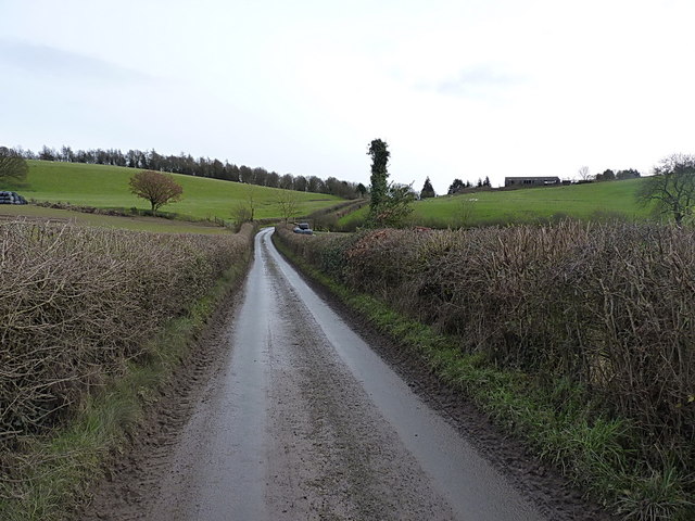
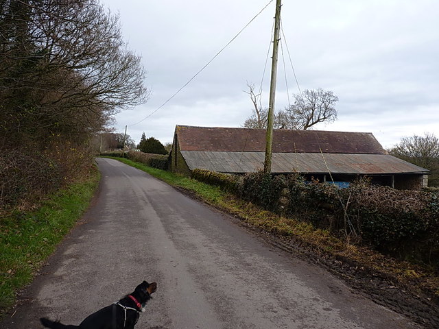
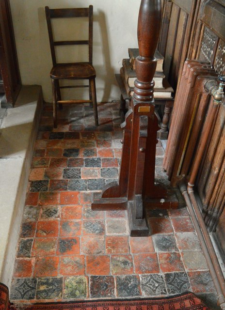
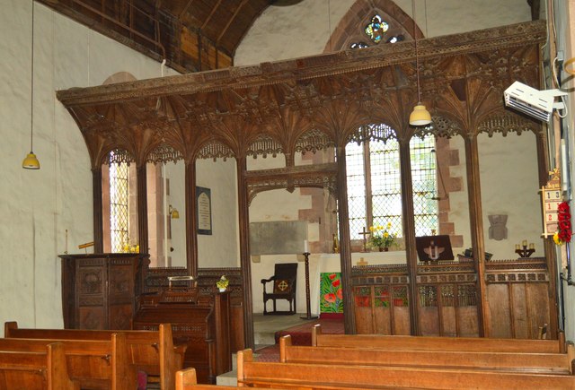
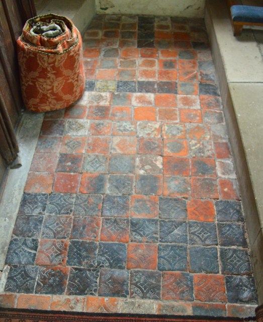
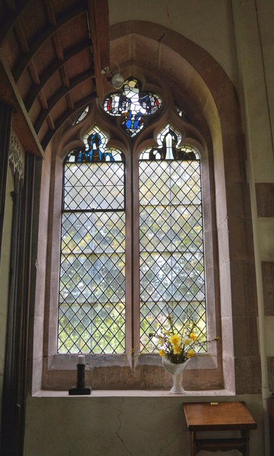
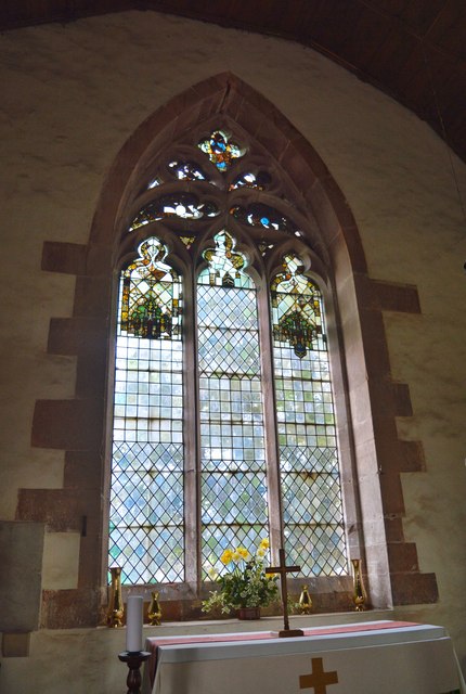
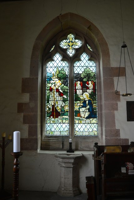
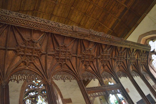
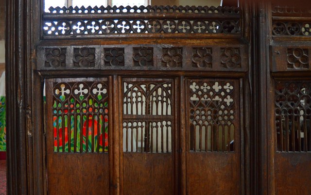
Kenley Images
Images are sourced within 2km of 52.594214/-2.639475 or Grid Reference SO5699. Thanks to Geograph Open Source API. All images are credited.


Kenley is located at Grid Ref: SO5699 (Lat: 52.594214, Lng: -2.639475)
Unitary Authority: Shropshire
Police Authority: West Mercia
What 3 Words
///verve.fatherly.spots. Near Kenley, Shropshire
Nearby Locations
Related Wikis

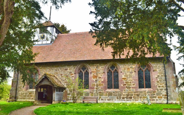
Kenley, Shropshire
Kenley is a small village and civil parish in the English county of Shropshire. It is located in remote countryside, atop a ridge at around 180 metres...

Hughley, Shropshire
Hughley (grid reference SO565979) is a village and civil parish in Shropshire, England, about 5 miles (8 km) south-west of Much Wenlock. It lies in the...

Presthope railway station
Presthope railway station was a station to the east of Hughley, Shropshire, England. The station was opened in 1867 and closed in 1951. == References... ==

Langley Chapel
Langley Chapel is an Anglican church, built in 1601, located in a remote area (the parish of Ruckley and Langley) approximately 1.5 miles to the south...
Nearby Amenities
Located within 500m of 52.594214,-2.639475Have you been to Kenley?
Leave your review of Kenley below (or comments, questions and feedback).