Brookfield
Settlement in Lancashire Preston
England
Brookfield
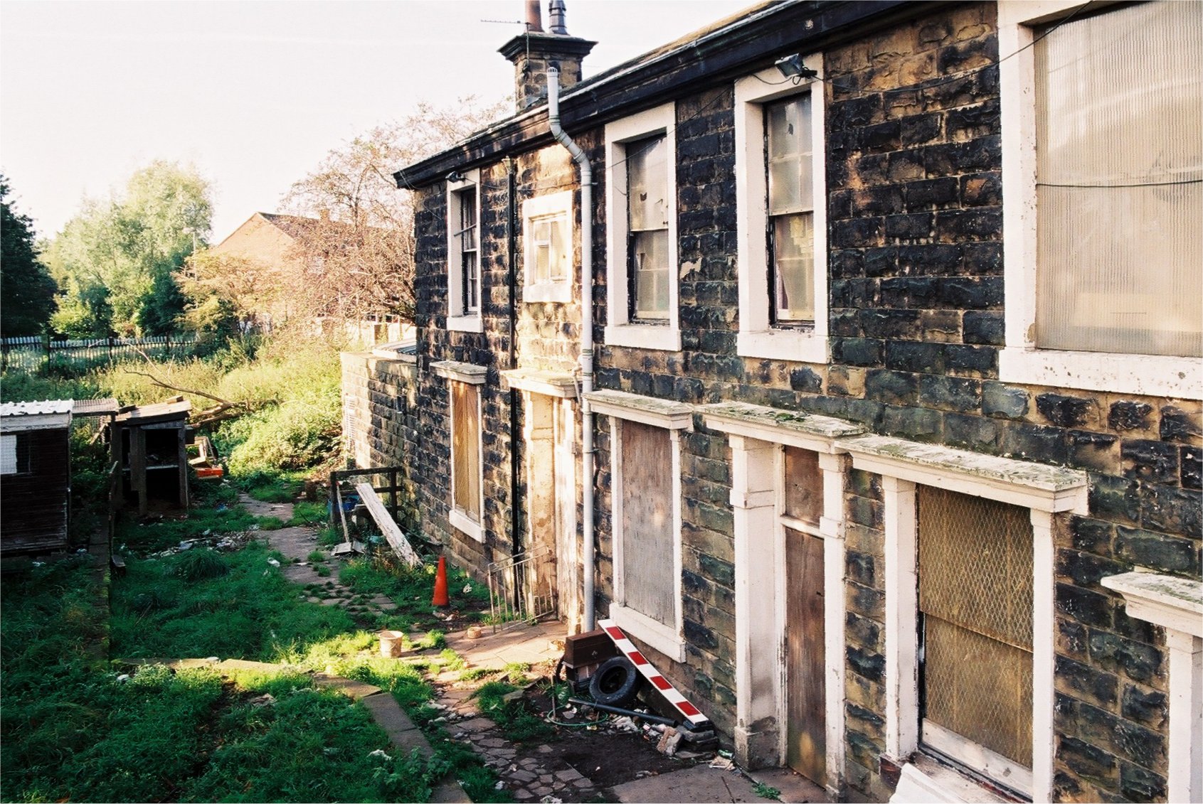
Brookfield is a small village located in the county of Lancashire, in the northwest of England. Situated approximately 10 miles north of the city of Preston, it is part of the borough of Ribble Valley. The village is surrounded by picturesque countryside, with rolling hills and lush green fields.
Brookfield has a population of around 800 residents, who enjoy a peaceful and close-knit community atmosphere. The village retains a traditional charm, with many of its buildings dating back several centuries. The local architecture is predominantly made up of stone cottages and farmhouses, adding to the rural character of the area.
The village boasts a number of amenities to cater to the needs of its residents. These include a primary school, a village hall, and a local pub, which serves as a popular meeting point for locals. There are also several shops and services nearby, ensuring that residents have access to essential goods and services without the need to travel far.
Brookfield is situated in close proximity to the Forest of Bowland, an Area of Outstanding Natural Beauty. This provides residents with ample opportunities for outdoor activities such as hiking, cycling, and birdwatching. The village is also well-connected to the wider region, with good transport links to nearby towns and cities.
In summary, Brookfield is a peaceful and picturesque village in Lancashire, offering a close-knit community, beautiful surroundings, and easy access to nearby amenities and natural attractions.
If you have any feedback on the listing, please let us know in the comments section below.
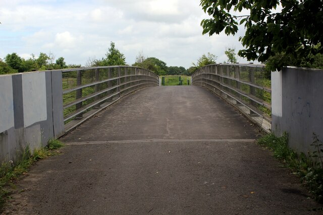
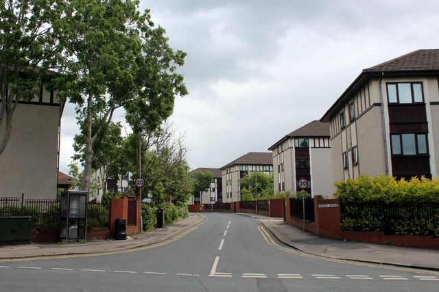
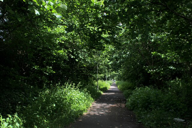
Brookfield Images
Images are sourced within 2km of 53.782836/-2.6653119 or Grid Reference SD5632. Thanks to Geograph Open Source API. All images are credited.


Brookfield is located at Grid Ref: SD5632 (Lat: 53.782836, Lng: -2.6653119)
Administrative County: Lancashire
District: Preston
Police Authority: Lancashire
What 3 Words
///beam.admire.hype. Near Preston, Lancashire
Nearby Locations
Related Wikis
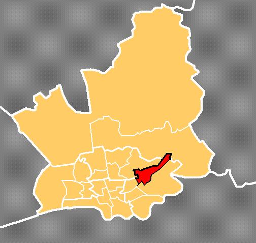
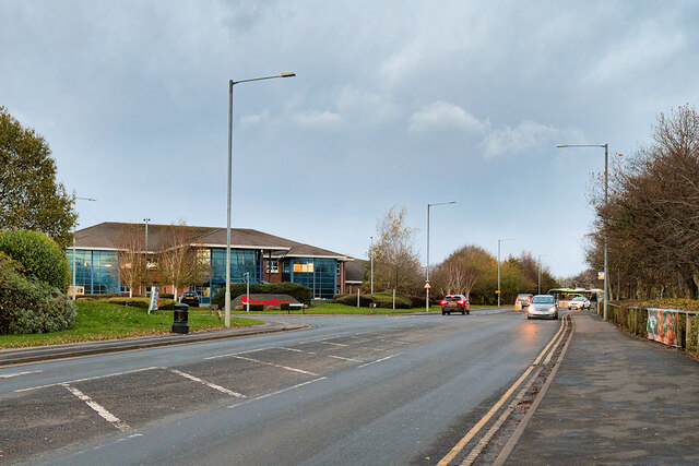
Brookfield, Preston
Brookfield is an electoral ward of the city of Preston, in Lancashire, England. It is located north-east of the city centre, in the suburb of Ribbleton...
Ribbleton railway station
Ribbleton railway station was on the Preston and Longridge Railway in Ribbleton, a suburb of Preston, Lancashire, England. When the station opened in 1854...

St Mary Magdalene's Church, Ribbleton
St Mary Magdalene's Church is in Ribbleton Avenue, Ribbleton, Preston, Lancashire, England. It is an active Anglican parish church in the deanery of Preston...

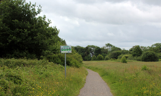
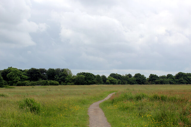
Fernyhalgh Wood
Fernyhalgh Wood () is a woodland in Fulwood, Preston, Lancashire, England. It covers a total area of 4.58 hectares (11.32 acres). It is owned and managed...
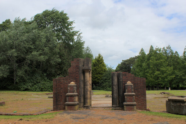
Courtaulds Red Scar Works Preston
Red Scar Works was built in 1939 by Courtaulds and produced rayon. It was located in Ribbleton Preston off Longridge Road. The closure of the works was...

Ribbleton
Ribbleton is a suburb and ward of the city of Preston, Lancashire, England. It is located to the east of the city centre, between the A59 New Hall Lane...
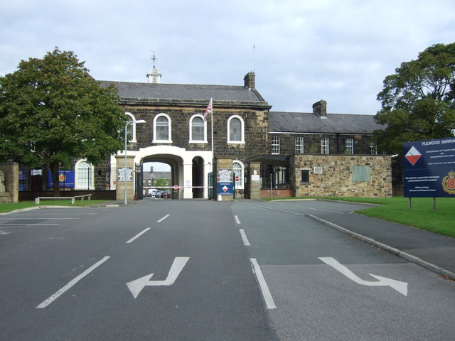
Lancashire Infantry Museum
The Lancashire Infantry Museum, formerly known as the Queen's Lancashire Regiment Museum, is located at Fulwood Barracks in Preston, Lancashire, England...
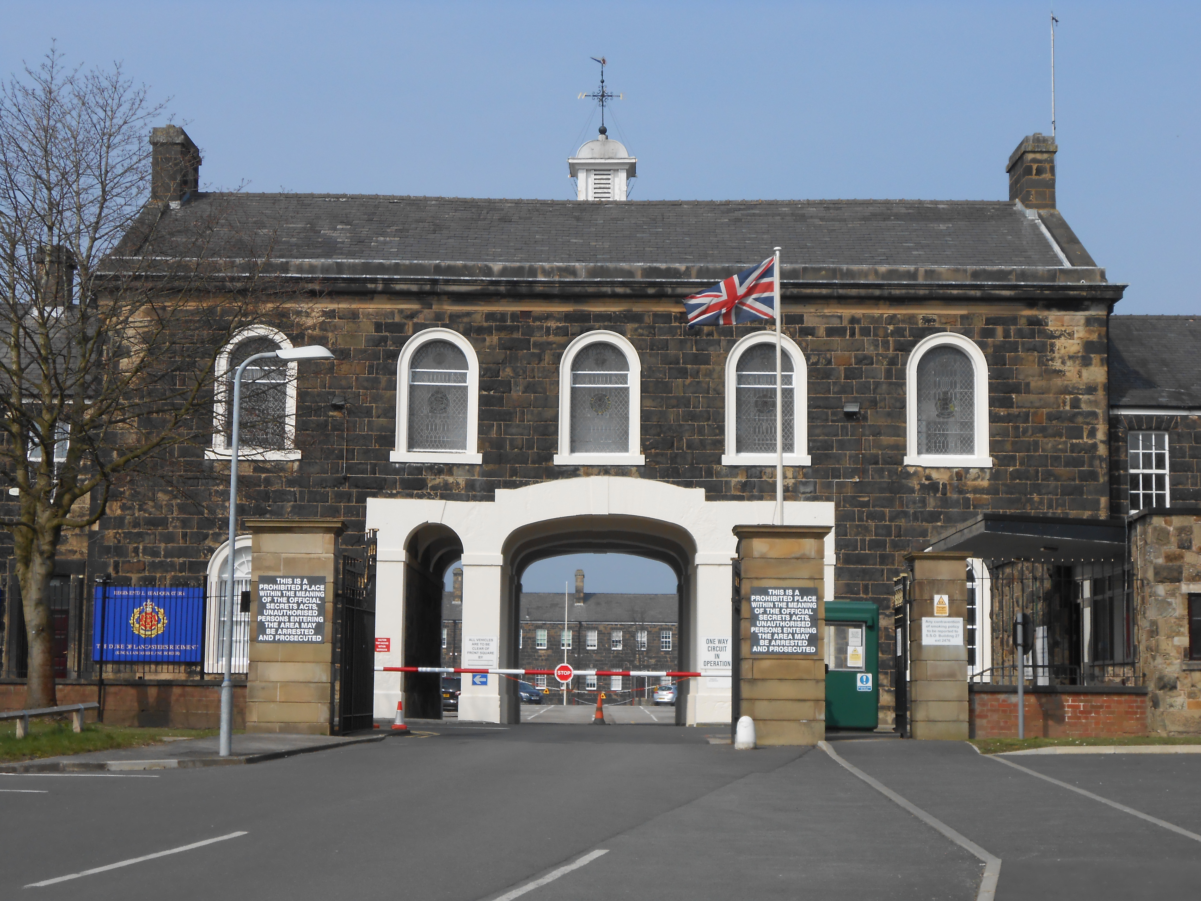
Fulwood Barracks
Fulwood Barracks is a military installation at Fulwood in Preston, Lancashire, England. It is set to close in 2030. == History == The barracks were built...
Nearby Amenities
Located within 500m of 53.782836,-2.6653119Have you been to Brookfield?
Leave your review of Brookfield below (or comments, questions and feedback).