Keighley
Civil Parish in Yorkshire Bradford
England
Keighley
Keighley is a civil parish located in the metropolitan borough of Bradford, in the county of West Yorkshire, England. It lies at the confluence of the River Worth and River Aire, nestled in the Aire Valley, with the picturesque Pennine hills to the west.
With a population of around 56,000, Keighley is a bustling town that thrived during the Industrial Revolution as a center of textile manufacturing. It boasts a rich industrial heritage, evident in the numerous mills and factories that still stand today. Keighley's textile industry began to decline in the mid-20th century, but the town has successfully diversified its economy and is now home to a wide range of businesses, including engineering, manufacturing, and retail.
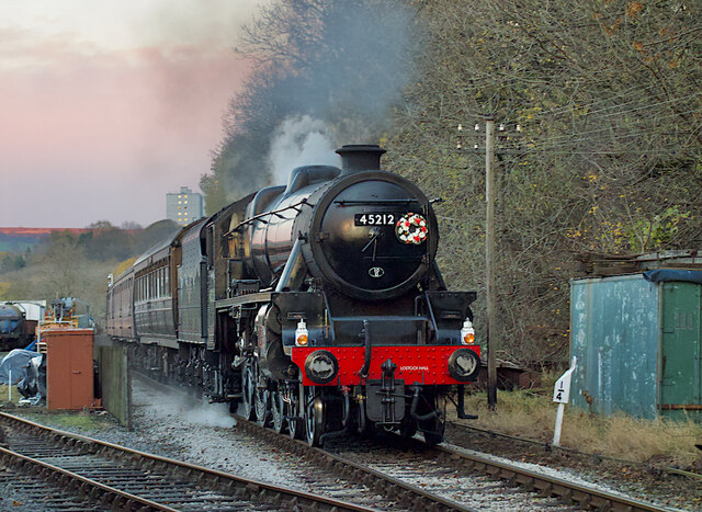
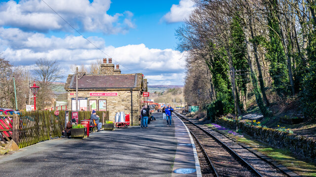
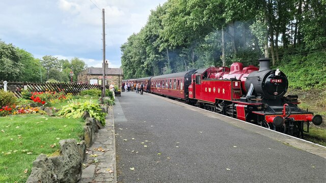
The town center is a vibrant hub, with a mix of modern shops, traditional market stalls, and historic buildings. Keighley is also known for its cultural attractions, including the Keighley and Worth Valley Railway, a heritage steam railway that runs through the stunning countryside of the Worth Valley. The Brontë Parsonage Museum in nearby Haworth attracts literary enthusiasts interested in the famous Brontë sisters, who lived and wrote in the area.
Keighley is blessed with beautiful natural surroundings, making it an appealing destination for outdoor enthusiasts. The nearby Yorkshire Dales National Park offers stunning landscapes, picturesque villages, and opportunities for hiking, cycling, and wildlife spotting.
Overall, Keighley is a vibrant town with a rich history, thriving industries, and stunning natural beauty, making it an attractive place to live, work, and visit.
If you have any feedback on the listing, please let us know in the comments section below.
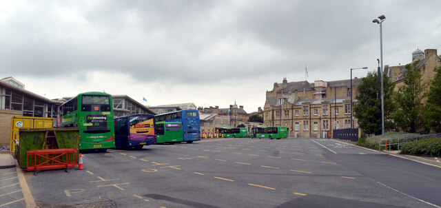
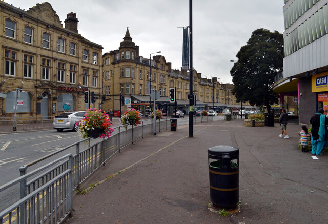
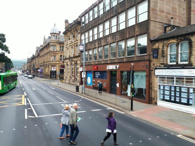
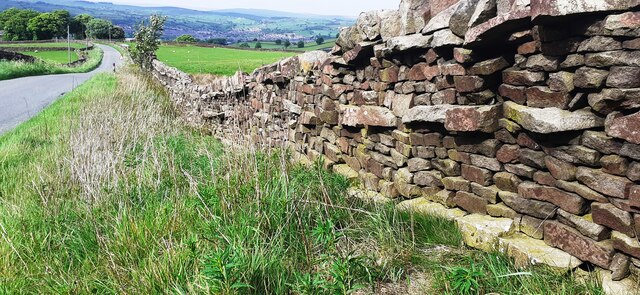
Keighley Images
Images are sourced within 2km of 53.864702/-1.933743 or Grid Reference SE0440. Thanks to Geograph Open Source API. All images are credited.


Keighley is located at Grid Ref: SE0440 (Lat: 53.864702, Lng: -1.933743)
Division: West Riding
Administrative County: West Yorkshire
District: Bradford
Police Authority: West Yorkshire
What 3 Words
///bikes.paper.drank. Near Keighley, West Yorkshire
Nearby Locations
Related Wikis
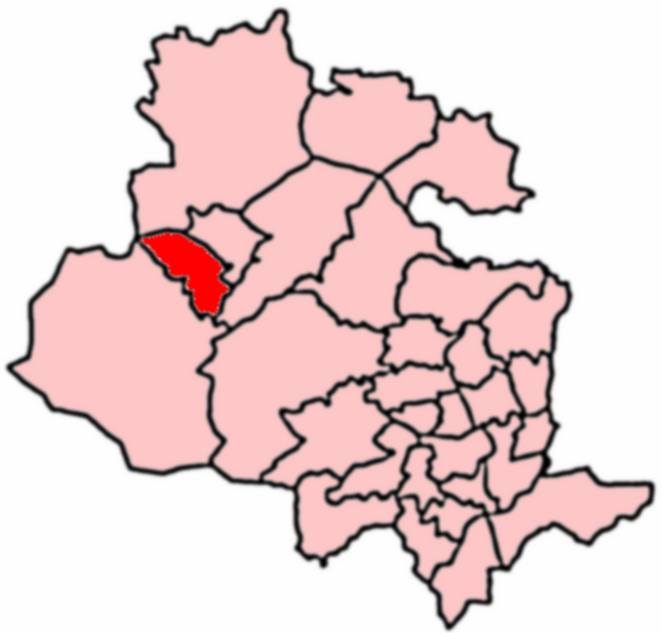
Keighley West
Keighley West (population 15,784 - 2001 UK census) is a ward within the City of Bradford Metropolitan District Council in the county of West Yorkshire...

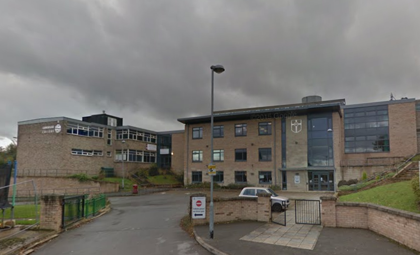
Beckfoot Oakbank
Beckfoot Oakbank is a mixed secondary school and sixth form located in Keighley, West Yorkshire, England. It is situated near Ingrow Lane on Oakworth Road...

Laycock, West Yorkshire
Laycock is a small village in the Bradford District of West Yorkshire that overlooks the hamlet of Goose Eye. The village is 1.9 miles (3 km) west of the...

Keighley
Keighley ( KEETH-lee) is a market town and a civil parish in the City of Bradford Borough of West Yorkshire, England. It is the second largest settlement...
Holy Family Catholic School, Keighley
The Holy Family Catholic School is a coeducational Roman Catholic secondary school and sixth form serving the parishes and communities in and around the...

Keighley Town Hall
Keighley Town Hall is an early 20th century municipal building in Keighley, West Yorkshire, England. It is a Grade II listed building. == History == After...

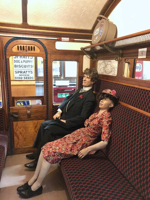
Museum of Rail Travel
The Museum of Rail Travel at Ingrow, England is operated by the Vintage Carriages Trust (VCT), a charity based just north of Ingrow (West) railway station...

Keighley Picture House
Keighley Picture House is a cinema located in Keighley, West Yorkshire, England. It opened in 1913 as a receiving house theatre which also showed films...
Nearby Amenities
Located within 500m of 53.864702,-1.933743Have you been to Keighley?
Leave your review of Keighley below (or comments, questions and feedback).