Ingestre
Civil Parish in Staffordshire Stafford
England
Ingestre

Ingestre is a civil parish located in the county of Staffordshire, England. Situated approximately 4 miles northeast of the town of Stafford, it covers an area of around 2.5 square miles. The parish is part of the Staffordshire Moorlands district.
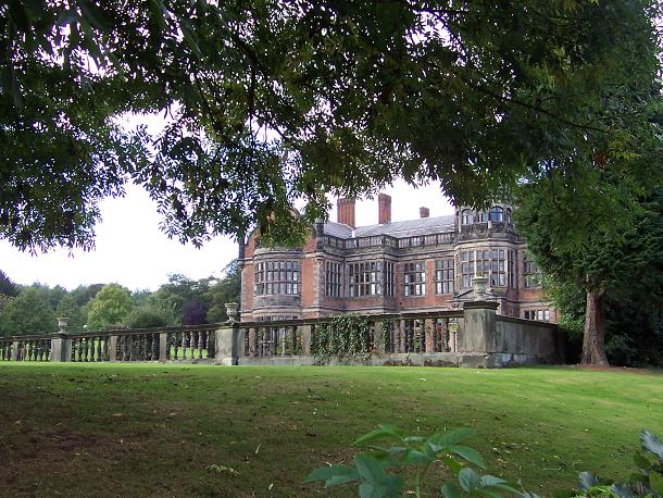
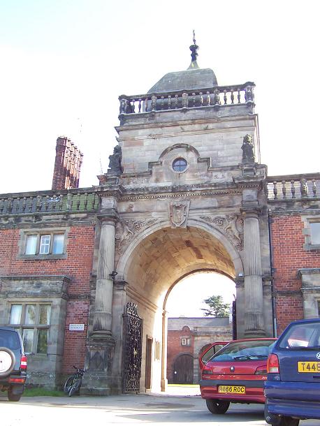
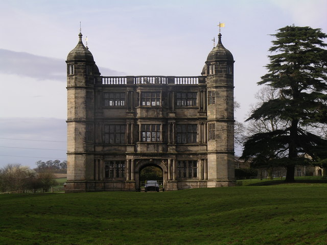
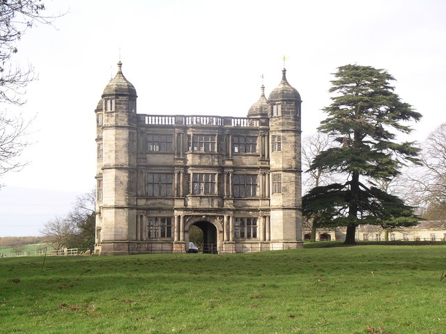
Historically, Ingestre was a medieval settlement with strong connections to the surrounding countryside. The area is known for its picturesque landscapes, including the nearby Ingestre Park and Ingestre Hall. Ingestre Hall, a Grade II* listed Jacobean mansion, was built in the early 17th century and is a prominent landmark in the parish.
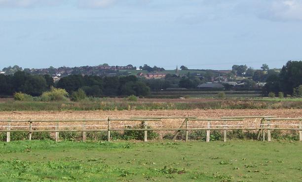
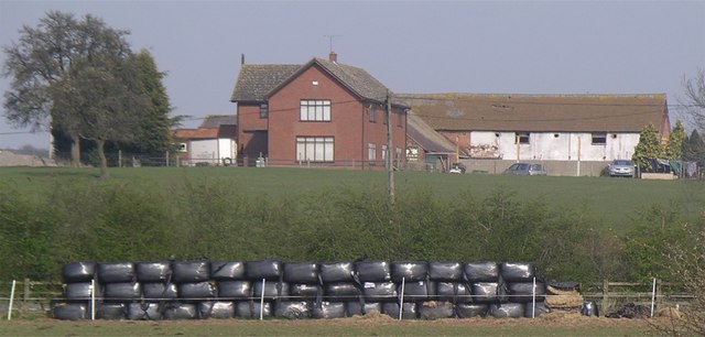
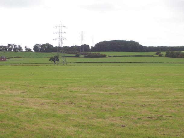
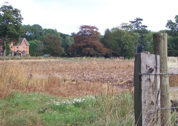
The population of Ingestre is relatively small, with an estimated population of around 200 residents. The parish is primarily rural, with a mix of farmland, woodland, and open fields. It offers a tranquil and peaceful environment for residents and visitors alike.
Ingestre has limited amenities, with no shops or schools within the parish boundaries. However, the nearby town of Stafford provides easy access to a range of services and facilities. The parish is well-connected by road, with the A518 passing through the area, providing links to surrounding towns and cities.
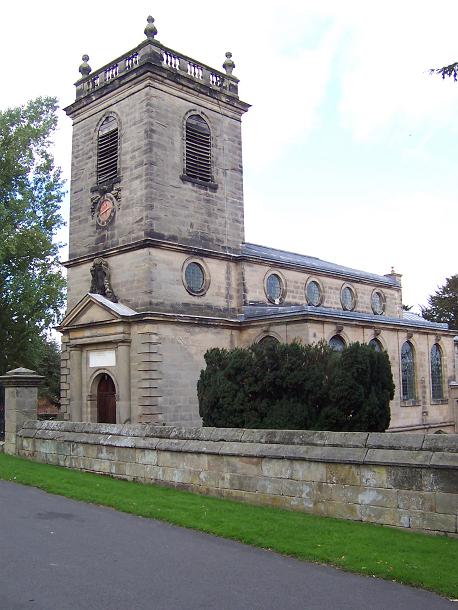
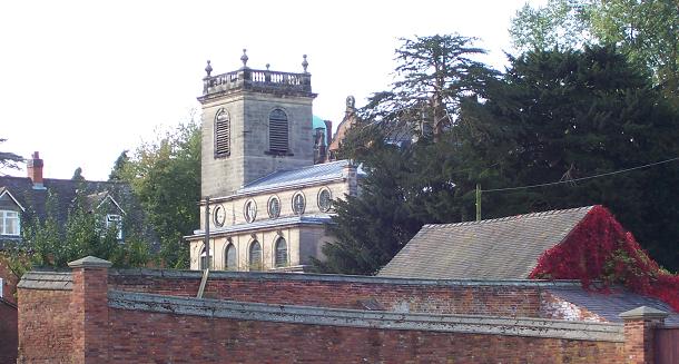
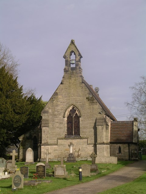
Ingestre is a popular destination for those seeking outdoor activities and natural beauty. The area offers opportunities for walking, cycling, and wildlife spotting. The parish also attracts visitors interested in exploring the historic architecture and heritage sites, such as Ingestre Church, which dates back to the 13th century.
In summary, Ingestre is a scenic and peaceful civil parish in Staffordshire, known for its rural landscapes, historic landmarks, and proximity to the town of Stafford.
If you have any feedback on the listing, please let us know in the comments section below.
Ingestre Images
Images are sourced within 2km of 52.820547/-2.028993 or Grid Reference SJ9824. Thanks to Geograph Open Source API. All images are credited.


Ingestre is located at Grid Ref: SJ9824 (Lat: 52.820547, Lng: -2.028993)
Administrative County: Staffordshire
District: Stafford
Police Authority: Staffordshire
What 3 Words
///pleasing.workroom.steady. Near Great Haywood, Staffordshire
Nearby Locations
Related Wikis

Ingestre
Ingestre is a village and civil parish in the Stafford district, in the county of Staffordshire, England. The population of the civil parish taken at the...
Ingestre Hall
Ingestre Hall is a Grade II* 17th-century Jacobean mansion situated at Ingestre, near Stafford, Staffordshire, England. Formerly the seat of the Earls...
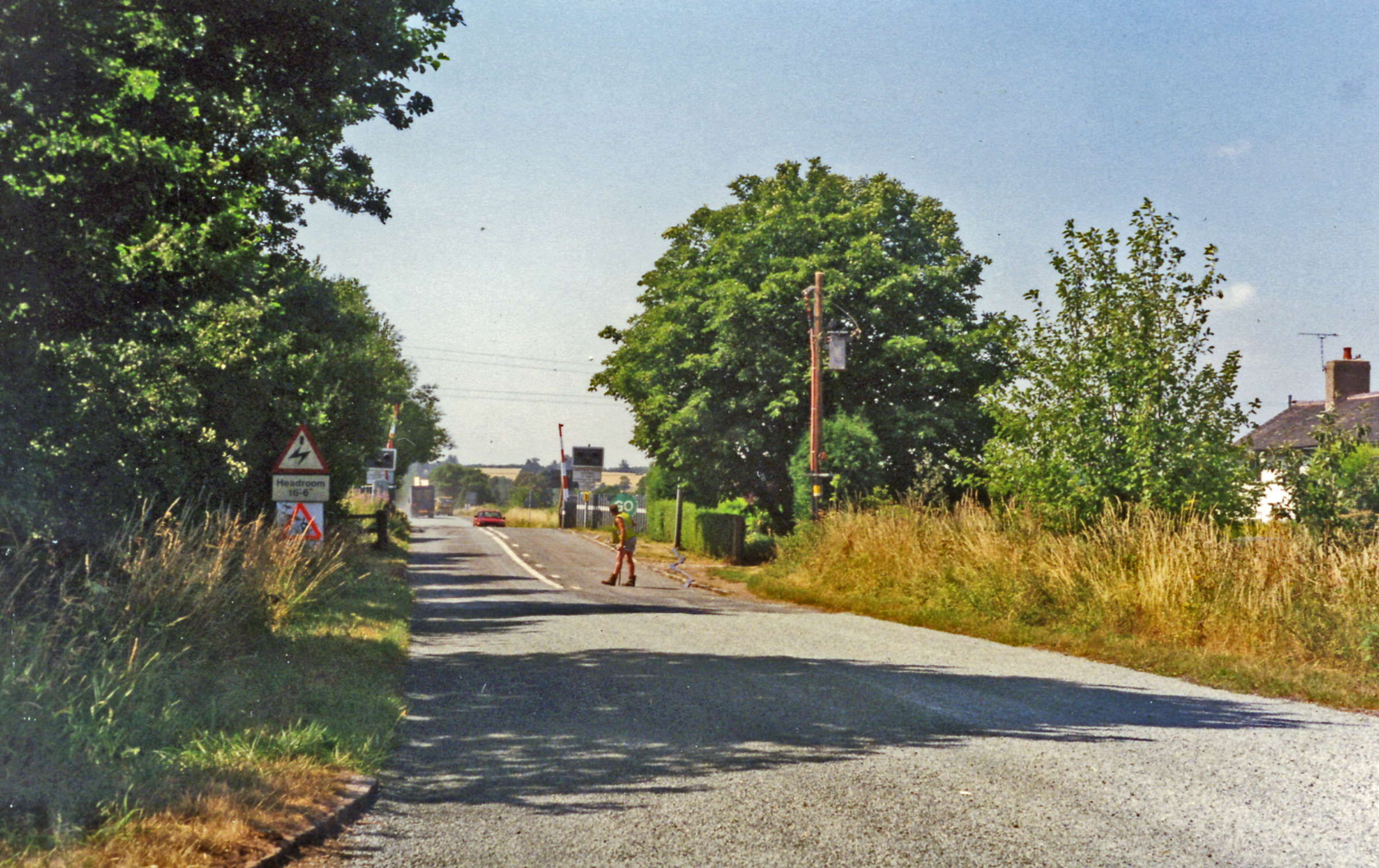
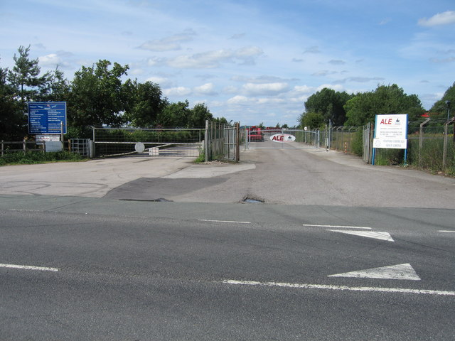
Hixon railway station
Hixon railway station is a disused railway station in Staffordshire, England. The railway line between Stone and Colwich was opened by the North Staffordshire...

Hixon rail crash
On 6 January 1968, a low-loader transporter carrying a 120-ton electrical transformer was struck by a British Rail express train on a recently installed...

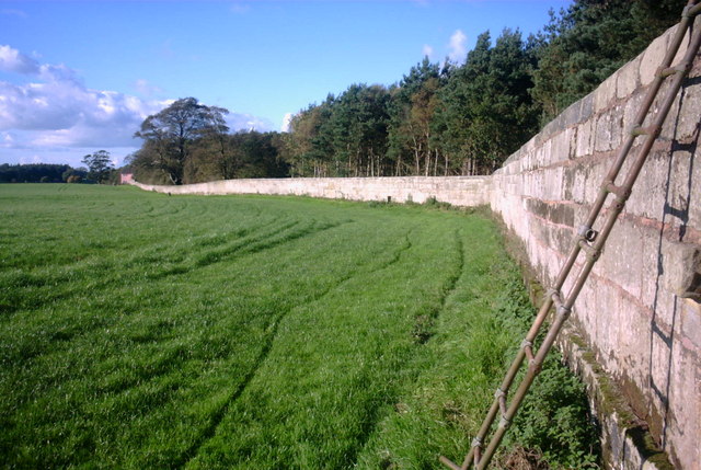
Tixall Gatehouse
Tixall Gatehouse is a 16th-century gatehouse situated at Tixall, near Stafford, Staffordshire and is all that remains of Tixall Hall which was demolished...

Ingestre railway station
Ingestre and Weston railway station was a former British railway station to serve the village of Ingestre in Staffordshire.It was opened by the Stafford...

Tixall
Tixall is a small village and civil parish in the Stafford district, in the English county of Staffordshire lying on the western side of the Trent valley...

Way for the Millennium
The Way for the Millennium is a 41-mile-long (66 km) east–west route across Staffordshire, deliberately designed for easy walking, using towpaths, old...
Nearby Amenities
Located within 500m of 52.820547,-2.028993Have you been to Ingestre?
Leave your review of Ingestre below (or comments, questions and feedback).