Impington
Civil Parish in Cambridgeshire South Cambridgeshire
England
Impington
Impington is a civil parish located in the county of Cambridgeshire, England. Situated approximately 4 miles north of the city of Cambridge, it covers an area of about 4 square miles. The parish is made up of two villages, Impington and Histon, which are closely connected and often referred to as a single entity.
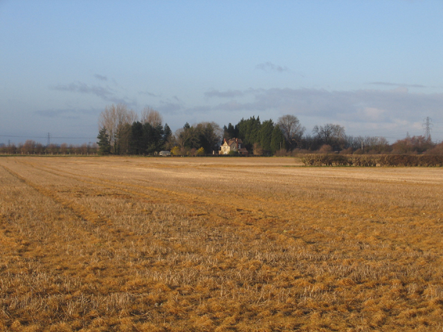
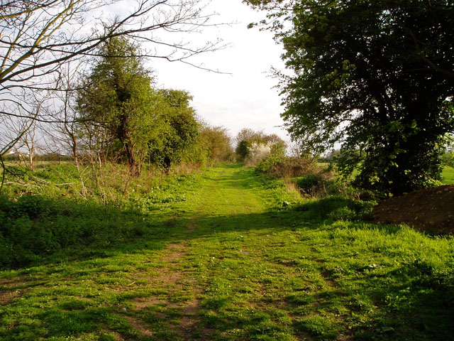
Impington is known for its picturesque countryside and charming rural atmosphere. The area is characterized by rolling fields, meadows, and hedgerows, providing a peaceful and idyllic setting for residents and visitors alike. The River Cam flows through the parish, adding to its natural beauty.
The village of Impington itself is home to a population of around 3,000 people. It features a mix of traditional and modern houses, including several historic buildings that have been preserved over the years. The village has a range of amenities, including a primary school, a village hall, a post office, and a number of local shops and businesses.
Impington is well-connected to surrounding areas, with good transport links to Cambridge and nearby towns. There are regular bus services connecting the village to Cambridge city center, making it convenient for those who commute or wish to explore the wider region.
Overall, Impington, Cambridgeshire offers a peaceful and picturesque place to live, with a strong sense of community and easy access to nearby amenities and transport links.
If you have any feedback on the listing, please let us know in the comments section below.
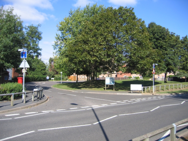
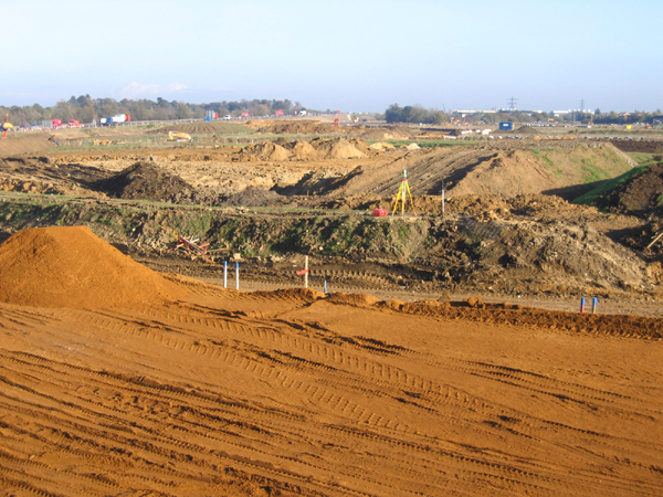
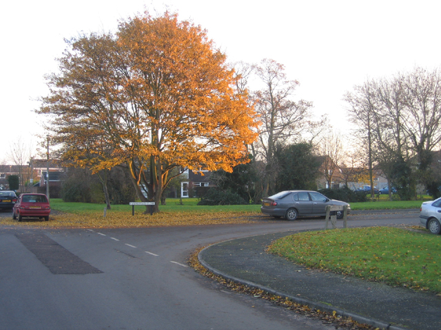
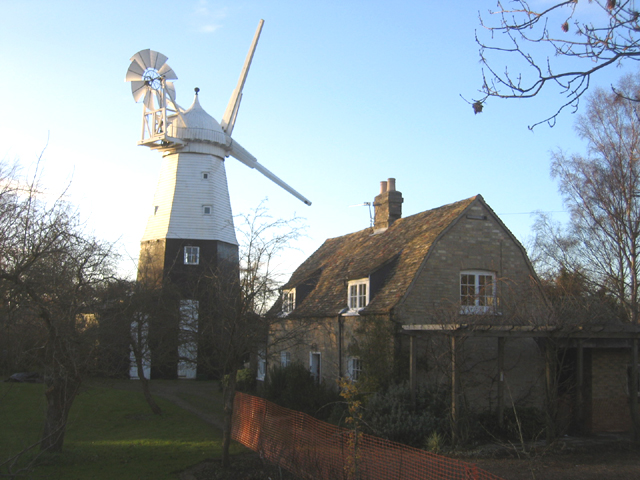
Impington Images
Images are sourced within 2km of 52.245189/0.12011 or Grid Reference TL4462. Thanks to Geograph Open Source API. All images are credited.


Impington is located at Grid Ref: TL4462 (Lat: 52.245189, Lng: 0.12011)
Administrative County: Cambridgeshire
District: South Cambridgeshire
Police Authority: Cambridgeshire
What 3 Words
///upset.palms.defend. Near Histon, Cambridgeshire
Nearby Locations
Related Wikis

Impington Village College
Impington Village College is a mixed secondary school and sixth form located in Impington in the English county of Cambridgeshire. The buildings of 1938...
Village college
The village college is an institution specific to Cambridgeshire, England, including the Peterborough unitary authority area. It caters for the education...

Bridge Road (Impington)
Bridge Road, also known as the Glassworld Stadium for sponsorship purposes, is a football stadium in Impington, a small village connected to Histon in...

Cambridge City F.C.
Cambridge City Football Club is a football club based in Cambridgeshire, England, who currently play in the Northern Premier League Division One Midlands...
Histon F.C.
Histon Football Club is a football club based in the village of Histon, Cambridgeshire, England. The club are currently members of the United Counties...

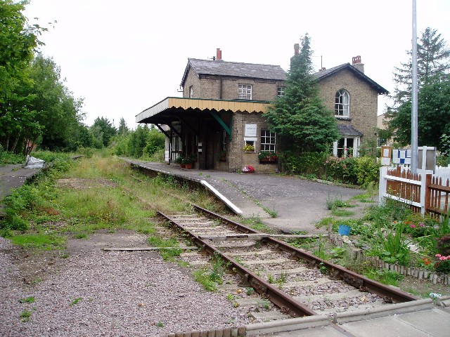
Histon railway station
Histon railway station is a disused railway station in Impington, Cambridgeshire on the Cambridge–St Ives branch of the Great Eastern Railway. The station...

Impington
Impington is a settlement and civil parish about 3 miles north of Cambridge city centre, in the South Cambridgeshire district, in the county of Cambridgeshire...
Orchard Park, Cambridgeshire
Orchard Park, previously known as Premier Park and before that Arbury Park, is a district and civil parish of South Cambridgeshire, England, contiguous...
Nearby Amenities
Located within 500m of 52.245189,0.12011Have you been to Impington?
Leave your review of Impington below (or comments, questions and feedback).