Ilton-cum-Pott

Civil Parish in Yorkshire Harrogate

England

Ilton-cum-Pott

Grazing land near Pott Hall Sheep graze on the small fields on the edge of the moor.
Grazing land near Pott Hall Credit: Maigheach-gheal

Ilton-cum-Pott is a civil parish located in the East Riding of Yorkshire, England. Situated in the picturesque Yorkshire Wolds, it covers an area of approximately 10 square miles. The parish is composed of two small villages, Ilton and Pott, which are surrounded by rolling countryside and farmland.

Ilton, the larger of the two villages, is a charming rural settlement with a population of around 400 residents. It boasts a beautiful church, St. Margaret's, which dates back to the 12th century and is renowned for its architecture and stained glass windows. The village also features a primary school, a village hall, and a local pub, providing essential amenities for its inhabitants.

Pott, the smaller of the two villages, is situated a short distance away from Ilton. It is a tranquil hamlet with a population of around 100 residents. Pott is best known for its historic manor house, Pott Hall, which was built in the 17th century and is a listed building of architectural significance.

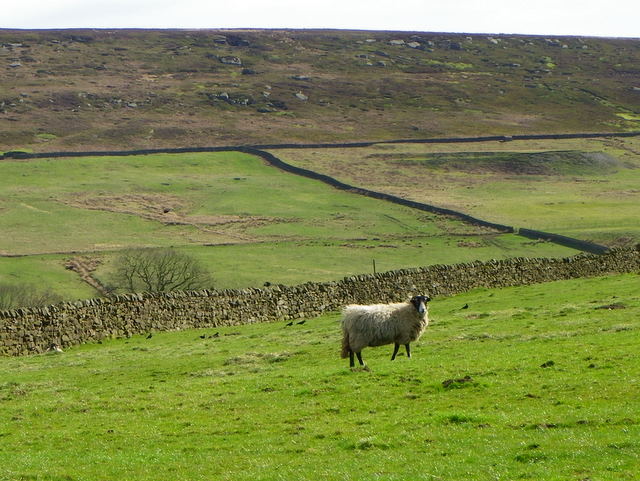
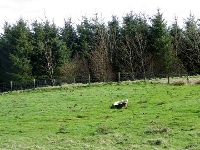
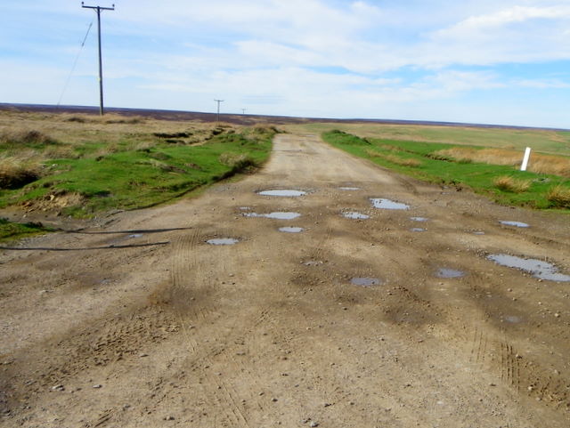
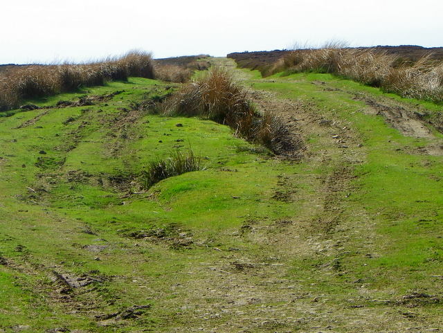
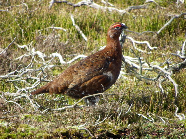
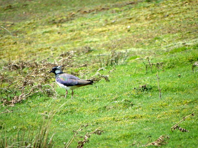
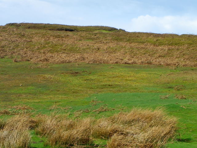
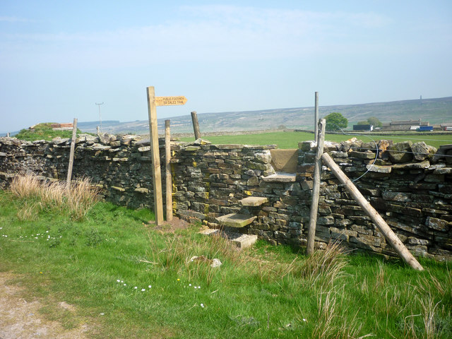
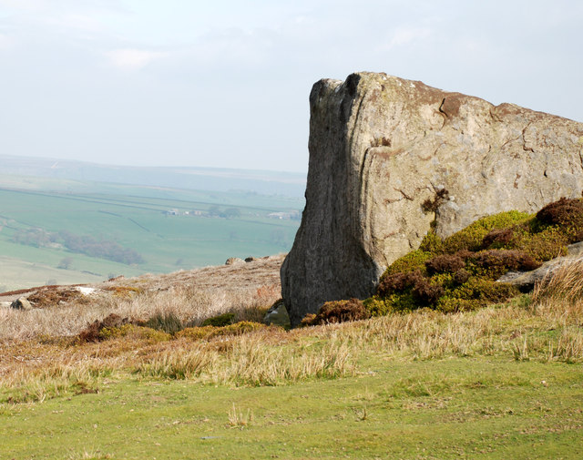
The surrounding countryside of Ilton-cum-Pott is characterized by lush green fields, gentle hills, and winding country lanes, making it a popular destination for walkers and nature enthusiasts. The area is also rich in wildlife, with various species of birds, mammals, and plants thriving in this idyllic rural setting.

Overall, Ilton-cum-Pott offers a peaceful and picturesque place to live, with its historic villages, stunning countryside, and strong sense of community. It is a hidden gem in the heart of Yorkshire, providing a rural escape from the hustle and bustle of city life.

If you have any feedback on the listing, please let us know in the comments section below.

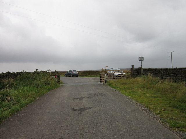
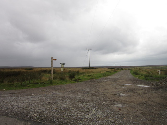
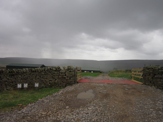
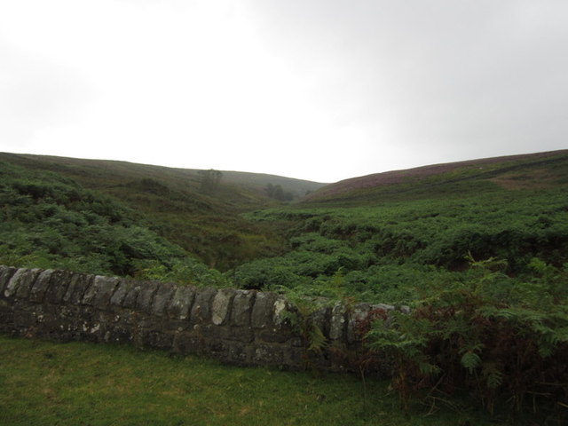
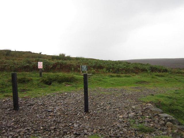
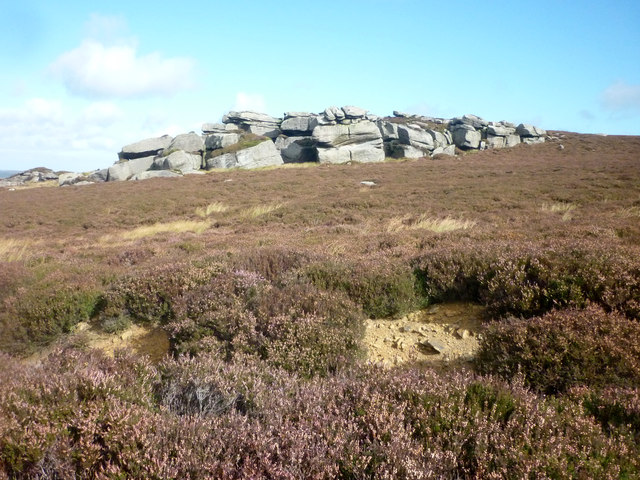
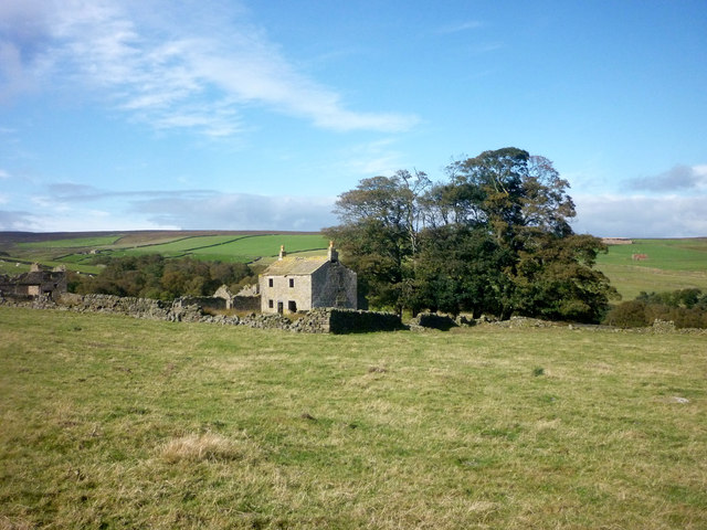
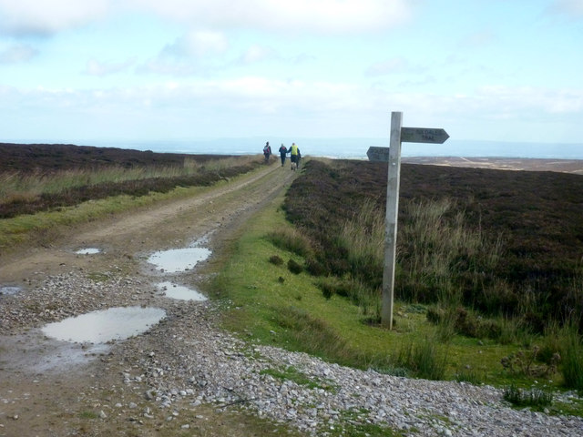
Ilton-cum-Pott Images

Images are sourced within 2km of 54.184569/-1.786849 or Grid Reference SE1476. Thanks to Geograph Open Source API. All images are credited.

Grazing land near Pott Hall Sheep graze on the small fields on the edge of the moor.
Grazing land near Pott Hall
Sheep graze on the small fields on the edge of the moor.
Moles at Colsterdale Moles live in loose, easily diggable soil throughout Britain, from sea level to about 3000ft, but there are no moles in Ireland. They do not colonise poor mountain soil or acid, sandy soil because these contain few earthworms. 

Moles belong to the order of mammals called insectivores, and are related to hedgehogs.

Molehills spoil lawns and sports grounds and reduce the value of pasture. They may also damage blades of cutting machines. In addition, moles rob the soil of earthworms. Farmers and gardeners are therefore their chief enemies. Other enemies include owls, foxes, dogs and cats.

The mole's name is possibly a shortened form of 'mouldiwarp', a names still used in northern England, which is derived from Old English 'molde', meaning earth and 'werpen', meaning to throw. But how can they make the hills when the earth is as hard as iron.

There is an old bath tub being used as a water trough in the centre of the field.
Moles at Colsterdale
Moles live in loose, easily diggable soil throughout Britain, from sea level to about 3000ft, but there are no moles in Ireland. They do not colonise poor mountain soil or acid, sandy soil because these contain few earthworms. Moles belong to the order of mammals called insectivores, and are related to hedgehogs. Molehills spoil lawns and sports grounds and reduce the value of pasture. They may also damage blades of cutting machines. In addition, moles rob the soil of earthworms. Farmers and gardeners are therefore their chief enemies. Other enemies include owls, foxes, dogs and cats. The mole's name is possibly a shortened form of 'mouldiwarp', a names still used in northern England, which is derived from Old English 'molde', meaning earth and 'werpen', meaning to throw. But how can they make the hills when the earth is as hard as iron. There is an old bath tub being used as a water trough in the centre of the field.
Track near Colsterdale The track, which also acts as a public footpath takes walkers to Grimes Gill House.
Track near Colsterdale
The track, which also acts as a public footpath takes walkers to Grimes Gill House.
Track, Pott Moor The track, also acts as a footpath that takes walkers to Bracken Ridge and the Nidderdale Way.
Track, Pott Moor
The track, also acts as a footpath that takes walkers to Bracken Ridge and the Nidderdale Way.
Grouse, Pott Moor The red grouse, which grows to about 15 inches, is the prime target of sporting guns. Yet research shows that shooting does not permanently threaten its numbers, since there is usually a surplus population doomed to starve through being unable to obtain individual territories. The red grouse feeds on young heather. They nest on the ground, where the dull plumage of the hen camouflages her. The chicks - up to a dozen are able to walk and feed themselves soon after hatching.
Grouse, Pott Moor
The red grouse, which grows to about 15 inches, is the prime target of sporting guns. Yet research shows that shooting does not permanently threaten its numbers, since there is usually a surplus population doomed to starve through being unable to obtain individual territories. The red grouse feeds on young heather. They nest on the ground, where the dull plumage of the hen camouflages her. The chicks - up to a dozen are able to walk and feed themselves soon after hatching.
Lapwing, Pott Moor The wader has a long crest and is apparently black and white, but on closer inspection the black is metallic green with black markings, and the legs are reddish. It has a relatively slow flapping flight but is capable of great aerobatics particularly in breeding season.
Lapwing, Pott Moor
The wader has a long crest and is apparently black and white, but on closer inspection the black is metallic green with black markings, and the legs are reddish. It has a relatively slow flapping flight but is capable of great aerobatics particularly in breeding season.
Rough moorland, Pott Moor This area of moorland is a mixture of rough grasses and heather.
Rough moorland, Pott Moor
This area of moorland is a mixture of rough grasses and heather.
Colsterdale Sighting Tower, Leighton
A cattle grid on Pott Moor High Road
The way to Grimesgill House
The entrance to West Summer Side Farm
Pott Moor from Agill Bridge
A private track towards Pott Moor
Combs Crags on Low Ash Head Moor Outcrop of rocks on Low Ash Head Moor. The Six Dales Trail long distance path passes close to these rocks.
Combs Crags on Low Ash Head Moor
Outcrop of rocks on Low Ash Head Moor. The Six Dales Trail long distance path passes close to these rocks.
Low Ash Head This former farmhouse is now empty and derelict. The route of the Six Dales Trail long distance path passes to the west of the house.
Low Ash Head
This former farmhouse is now empty and derelict. The route of the Six Dales Trail long distance path passes to the west of the house.
Fingerpost on Lulbeck Head Fingerpost indicating the route of the Six Dales Trail long distance footpath on the summit of Lulbeck Head.
Fingerpost on Lulbeck Head
Fingerpost indicating the route of the Six Dales Trail long distance footpath on the summit of Lulbeck Head.
Stone stile and Fingerpost A stone stile and fingerpost has been built on Pott Moor High Road where the public right of way was previously obstructed by a walled up gateway. The Six Dales Trail long distance path, which goes from Otley to Middleham, uses this path.
Stone stile and Fingerpost
A stone stile and fingerpost has been built on Pott Moor High Road where the public right of way was previously obstructed by a walled up gateway. The Six Dales Trail long distance path, which goes from Otley to Middleham, uses this path.
Wedge shaped Rock at Combs Crags This wedge shaped rock at Combs Crag is on the route of the Six Dales Trail long distance path.
Wedge shaped Rock at Combs Crags
This wedge shaped rock at Combs Crag is on the route of the Six Dales Trail long distance path.
Show me another place!

Ilton-cum-Pott is located at Grid Ref: SE1476 (Lat: 54.184569, Lng: -1.786849)

Division: North Riding

Administrative County: North Yorkshire

District: Harrogate

Police Authority: North Yorkshire

What 3 Words

///lion.blunders.skews. Near Masham, North Yorkshire

Related Wikis

Roundhill Reservoir

Roundhill Reservoir is situated near Leighton Reservoir in North Yorkshire, England. It was constructed by Harrogate Corporation early in the 20th century...

Leighton Reservoir

Leighton Reservoir is a reservoir which drains via the River Burn to the River Ure in North Yorkshire, England. It neighbours Roundhill Reservoir and is...

Leighton, North Yorkshire

Leighton is a hamlet in the civil parish of Healey in the Harrogate district of North Yorkshire, England. It is near Leighton Reservoir that provides for...

Skipton and Ripon (UK Parliament constituency)

Skipton and Ripon is a constituency in North Yorkshire represented in the House of Commons of the UK Parliament since 2010 by Julian Smith, a Conservative...

Nidderdale Caves

The Nidderdale Caves are a series of caves in Upper Nidderdale in North Yorkshire, England. There are two cave systems and most of the caves are in some...

Gollinglith Foot

Gollinglith Foot (GOWN-li FOOT), historically also spelt Gownley Foot, is a hamlet in the civil parish of Healey in the Harrogate district of North Yorkshire...

Lofthouse, North Yorkshire

Lofthouse is a small village in Nidderdale in the Harrogate district of North Yorkshire, England about a mile south of Middlesmoor. It is the principal...

Colsterdale

Colsterdale is the valley of the River Burn, a tributary of the River Ure, in the Yorkshire Dales in North Yorkshire, England. It gives its name to a hamlet...

Nearby Amenities

Located within 500m of 54.184569,-1.786849
Barrier: stile
Lat/Long: 54.187715/-1.7857362
Barrier: stile
Lat/Long: 54.1849475/-1.782344
Building: yes
Lat/Long: 54.1812395/-1.784946
Power: pole
Lat/Long: 54.1881733/-1.7912211
The data included in this document is from www.openstreetmap.org. The data is made available under ODbL.

Have you been to Ilton-cum-Pott?

Leave your review of Ilton-cum-Pott below (or comments, questions and feedback).