Ilkley
Civil Parish in Yorkshire Bradford
England
Ilkley
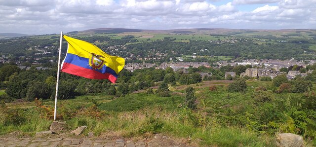
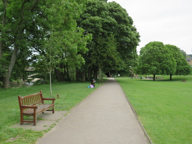
Ilkley is a civil parish located in the county of Yorkshire, England. Situated in the picturesque Wharfedale valley, it is part of the metropolitan borough of Bradford. The town is surrounded by stunning countryside, including the famous Ilkley Moor, which attracts hikers, nature enthusiasts, and tourists alike.
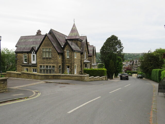
Ilkley has a long history, with evidence of human habitation dating back to the Mesolithic era. The town grew in importance during the Victorian era when it became a popular spa destination, renowned for its mineral springs and elegant architecture. Today, the Victorian legacy is still visible in many of the town's buildings and landmarks.
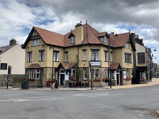
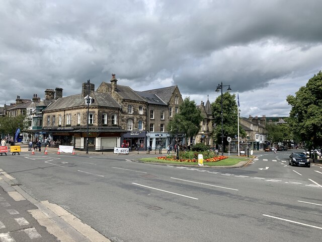
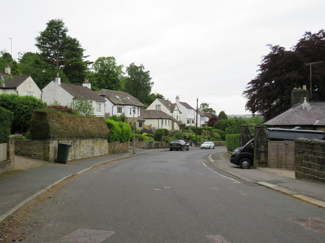
The town center of Ilkley offers a range of amenities, including a variety of shops, cafes, restaurants, and traditional pubs. The local marketplace hosts a weekly market where visitors can find fresh produce, crafts, and other goods. The town also boasts a vibrant arts scene, with a number of galleries and a thriving arts community.
Ilkley is well-known for its annual summer festival, which features a range of cultural events, including music, dance, theater, and literature. The town also hosts various other events throughout the year, such as the Ilkley Carnival and the Ilkley Literature Festival.
Ilkley's location in the heart of Yorkshire provides easy access to the stunning Yorkshire Dales National Park, making it an ideal base for exploring the surrounding countryside. The town is well-connected, with regular train services to Leeds, Bradford, and other nearby cities.
Overall, Ilkley offers a charming blend of natural beauty, rich history, and cultural attractions, making it a popular destination for both locals and visitors from further afield.
If you have any feedback on the listing, please let us know in the comments section below.
Ilkley Images
Images are sourced within 2km of 53.920193/-1.825122 or Grid Reference SE1147. Thanks to Geograph Open Source API. All images are credited.


Ilkley is located at Grid Ref: SE1147 (Lat: 53.920193, Lng: -1.825122)
Division: West Riding
Administrative County: West Yorkshire
District: Bradford
Police Authority: West Yorkshire
What 3 Words
///fooling.vows.worlds. Near Ilkley, West Yorkshire
Related Wikis
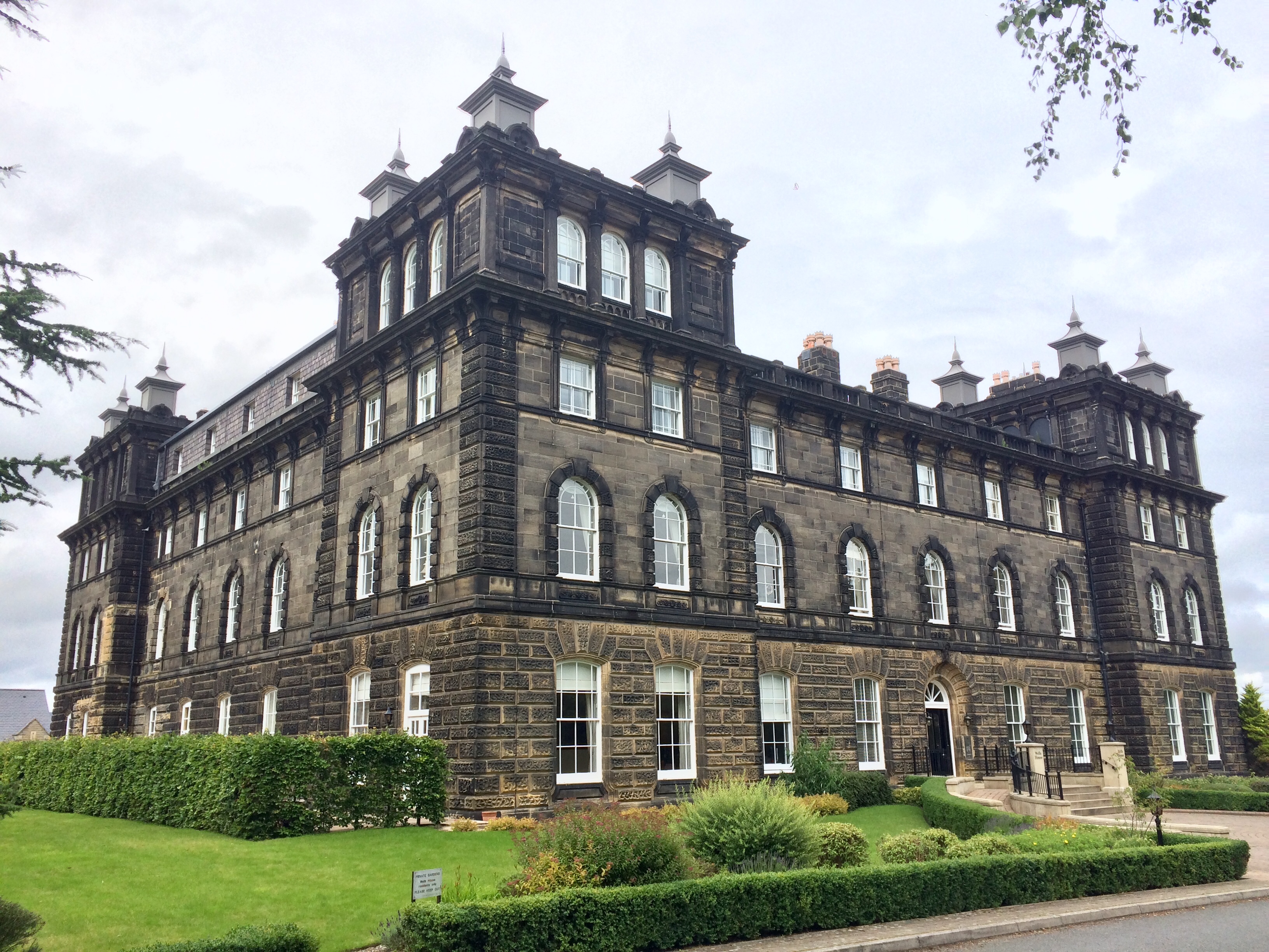
Wells House, Ilkley
Wells House is a large former hydropathic establishment and hotel in Ilkley, West Yorkshire, England, now used as private apartments. It was built in 1854...

White Wells
White Wells is a spa bath on Ilkley Moor in West Yorkshire, England. White Wells was built around 1700 at the back of the current Spa Cottage as an open...
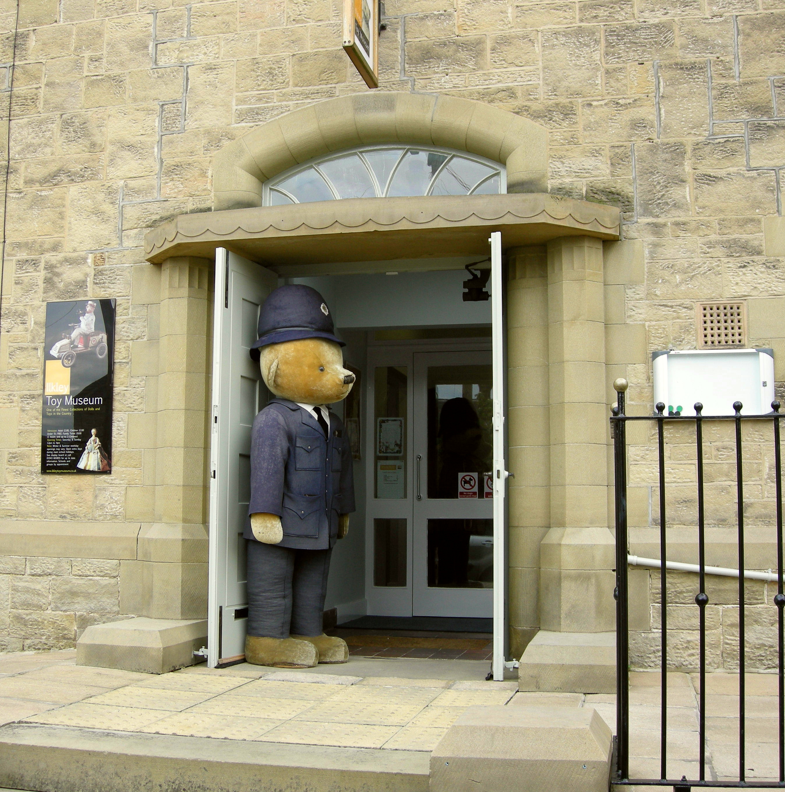
Ilkley Toy Museum
Ilkley Toy Museum in Ilkley, West Yorkshire, houses a private collection of toys dating from 350 BC to modern times, and is open to the public, schools...

Christchurch, Ilkley
Christchurch, Ilkley is a Grade II listed United Reformed and Methodist ecumenical partnership church in Ilkley, North Yorkshire, England. == History... ==
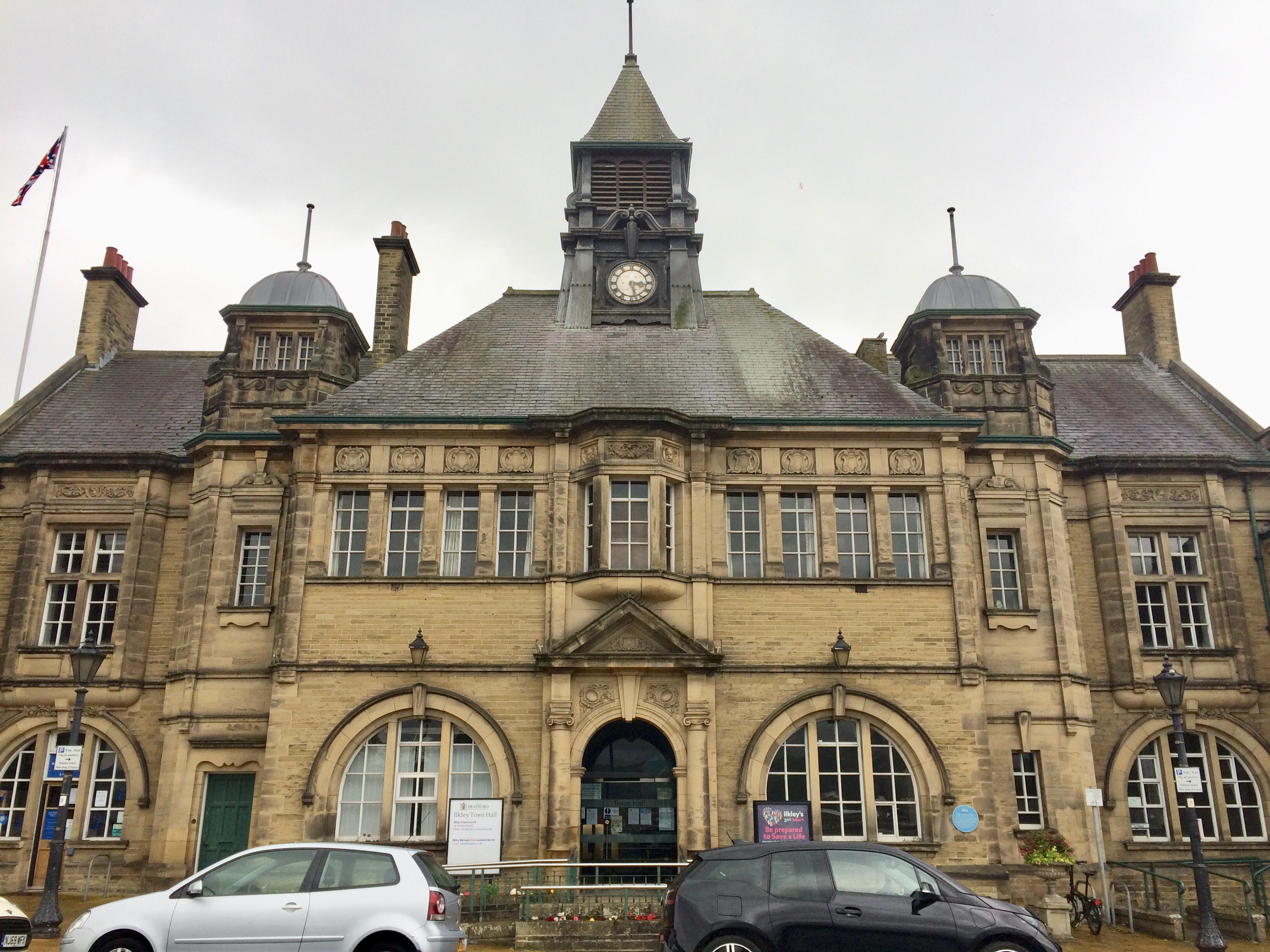
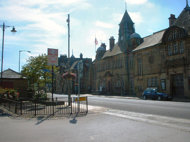
Ilkley Town Hall
Ilkley Town Hall, on Station Road, Ilkley, West Yorkshire, is a Grade II listed municipal building designed by William Bakewell of Leeds. It forms the...
Ilkley
Ilkley is a spa town and civil parish in the City of Bradford in West Yorkshire, in Northern England. Historically part of the West Riding of Yorkshire...

Ilkley railway station
Ilkley railway station serves Ilkley in the City of Bradford, West Yorkshire, England. On the Wharfedale Line, it is served by Class 333 electric trains...
Wharfedale Brewery
Wharfedale Brewery is a brewery situated in Ilkley in Wharfedale, West Yorkshire, England, on the edge of the Yorkshire Dales National Park. Two, now defunct...
Related Videos

A start of a new adventure: Hiking the Dales Way - Day 1
The Dales Way - 81 Miles from Ilkley to Bowness-on-windermere. Join me on a challenging and beautiful hike along the Dales ...
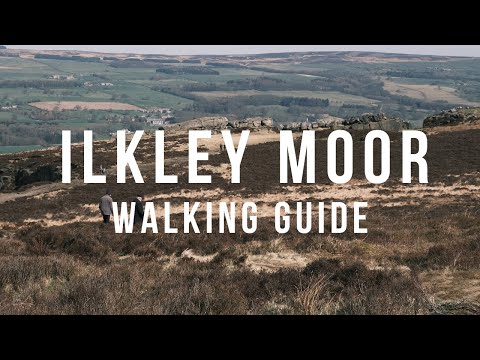
Ilkley Moor, Yorkshire Walking Guide (12 Apostles / Cow & Calf Circular Route), English Countryside
A step-by-step guide to one of the many popular walking routes on Ilkley Moor, covering the 12 Apostles stone circle, the Cow and ...
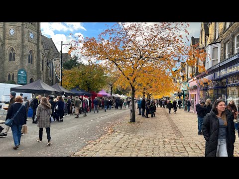
Ilkley Town Centre & Market Complete Walking Tour on a glorious Autumn day
Ilkley is the ideal base for a holiday in the Yorkshire Dales. This pretty, traditional spa town offers fine tearooms, magnificent ...
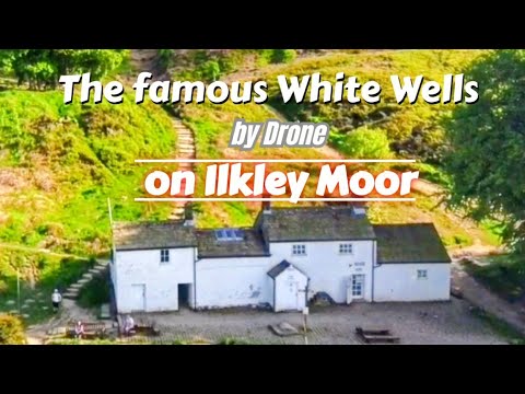
Exploring White Wells high up on Ilkley Moor #walking #yorkshire #hiking #drone
Welcome back to another video. This time we visit the famous White Wells Spa Baths by drone. A beautiful day up on the moors ...
Nearby Amenities
Located within 500m of 53.920193,-1.825122Have you been to Ilkley?
Leave your review of Ilkley below (or comments, questions and feedback).