Hyde Lea

Civil Parish in Staffordshire Stafford

England

Hyde Lea

Bigwood Lane Bridleway off Bigwood Lane
Bigwood Lane Credit: P Gaskell

Hyde Lea is a civil parish located in the county of Staffordshire, England. Situated approximately 3 miles southeast of the town of Stafford, Hyde Lea is a semi-rural area that offers a peaceful and picturesque environment.

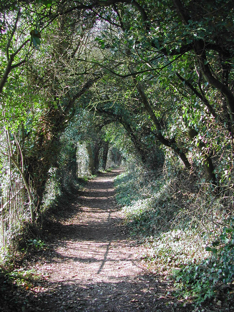
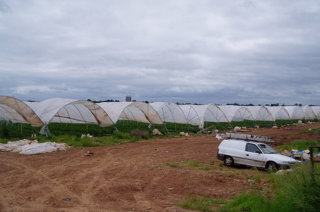
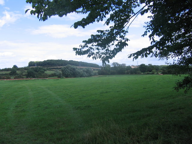
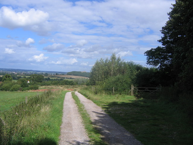
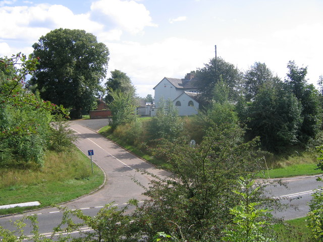
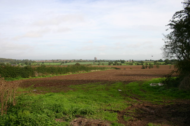
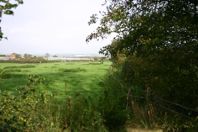
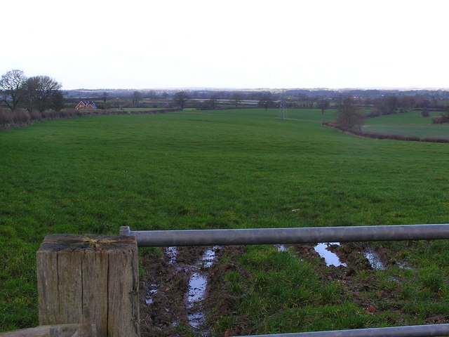
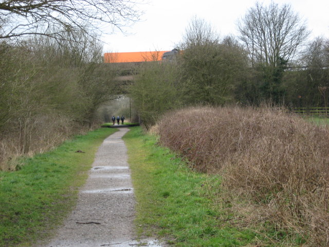
The parish covers an area of around 3 square miles and is primarily characterized by its stunning countryside views and open spaces. Hyde Lea is surrounded by farmland and green fields, making it an ideal location for those seeking a quiet and tranquil lifestyle.

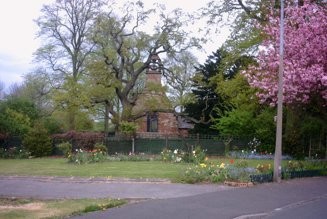
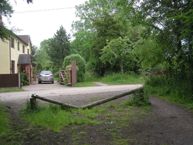
The village itself is small but charming, with a population of around 500 residents. It features a mixture of traditional brick and stone houses, as well as a few modern developments. Hyde Lea is known for its tight-knit community, where residents often engage in local events and activities.

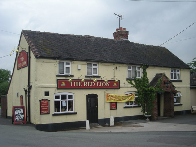
Despite its rural nature, Hyde Lea benefits from its close proximity to Stafford. The town offers a range of amenities, including shops, supermarkets, schools, and leisure facilities. Additionally, Stafford has excellent transport links, with regular train services connecting the area to major cities such as Birmingham and Manchester.

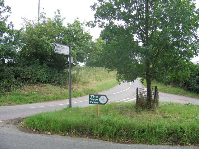
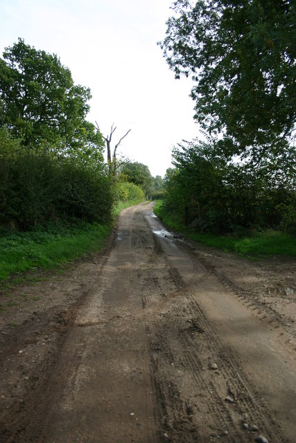
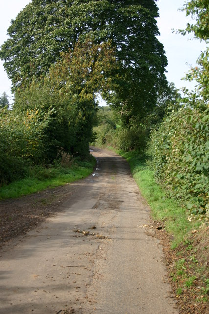
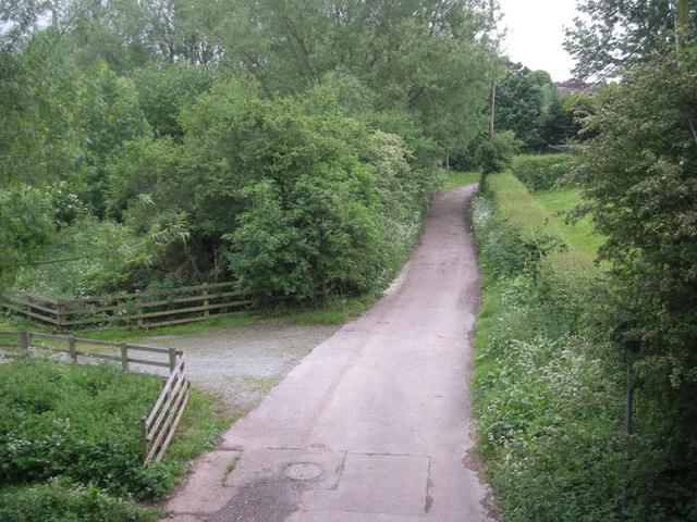
Hyde Lea also boasts several natural attractions nearby. Cannock Chase, an Area of Outstanding Natural Beauty, is just a short drive away and offers opportunities for walking, cycling, and wildlife spotting. The parish is also surrounded by numerous footpaths and trails, making it an ideal location for outdoor enthusiasts.

Overall, Hyde Lea provides a peaceful and idyllic setting for those seeking a rural lifestyle while still being within easy reach of urban amenities.

If you have any feedback on the listing, please let us know in the comments section below.

Hyde Lea Images

Images are sourced within 2km of 52.789347/-2.15377 or Grid Reference SJ8921. Thanks to Geograph Open Source API. All images are credited.

Bigwood Lane Bridleway off Bigwood Lane
Bigwood Lane
Bridleway off Bigwood Lane
Footpath to Stafford Castle This public footpath runs alongside Stafford Castle Golf Club, which is on the left, to the grounds of Stafford Castle. It is numbered Stafford 36 in the Staffordshire County Council register of rights of way.
Footpath to Stafford Castle
This public footpath runs alongside Stafford Castle Golf Club, which is on the left, to the grounds of Stafford Castle. It is numbered Stafford 36 in the Staffordshire County Council register of rights of way.
Strawberry fields forever! Giant polytunnels housing strawberry plants, just ready for harvesting.
Strawberry fields forever!
Giant polytunnels housing strawberry plants, just ready for harvesting.
Grassy Field Looking across fields near Derrington, across the M6 ,which is this side of the pylon line to Stafford Castle, just poking above the trees.
Grassy Field
Looking across fields near Derrington, across the M6 ,which is this side of the pylon line to Stafford Castle, just poking above the trees.
Track at Bury Ring The earthworks of the iron age hill fort of Bury Ring is in the trees to the right, while a later generation of fort (but still very old), that of Stafford Castle, can be seen in the woods in the distance.
Track at Bury Ring
The earthworks of the iron age hill fort of Bury Ring is in the trees to the right, while a later generation of fort (but still very old), that of Stafford Castle, can be seen in the woods in the distance.
Billington Looking from the road to Bury Ring earthworks to Billington Farm across the A518
Billington
Looking from the road to Bury Ring earthworks to Billington Farm across the A518
Crossroads A crossroad of country lanes (as another lane unseen in photo goes left)
Crossroads
A crossroad of country lanes (as another lane unseen in photo goes left)
Fields off Billington Bank, Stafford A view of fields from an unnamed lane off the brow of Billington bank near Stafford. On the horizon in the distance is 'The Keep', a block of flats on the Highfields Estate in Stafford. There used to be a second block but that was brought down and new housing built.
Fields off Billington Bank, Stafford
A view of fields from an unnamed lane off the brow of Billington bank near Stafford. On the horizon in the distance is 'The Keep', a block of flats on the Highfields Estate in Stafford. There used to be a second block but that was brought down and new housing built.
Unnamed Lane to Leese Farm At the end of this unnamed lane is a public footpath and Leese Farm which can just be seen (the two white features are the windows!).
Unnamed Lane to Leese Farm
At the end of this unnamed lane is a public footpath and Leese Farm which can just be seen (the two white features are the windows!).
A Field next to Billington Bank, Stafford This field is next to Billington Bank (A518) which is just beyond the distant hedge. Over the other side of the road are cold frames which produce strawberries for supermarkets.
A Field next to Billington Bank, Stafford
This field is next to Billington Bank (A518) which is just beyond the distant hedge. Over the other side of the road are cold frames which produce strawberries for supermarkets.
Un-named Lane off Billington Bank, Stafford This lane is leading to the A518, Billington Bank near Stafford.
Un-named Lane off Billington Bank, Stafford
This lane is leading to the A518, Billington Bank near Stafford.
Leese Farm from Thorneyfields Lane
St Matthews Church, Derrington A view of St Matthews Church, Derrington, from St Matthews Drive by the junction of Church Lane. (I was at work when I spied this view, which was so 'captivating' as I drove past that I had to stop, reverse my car, and take a picture - as well as soak up the view for a few minutes!).
St Matthews Church, Derrington
A view of St Matthews Church, Derrington, from St Matthews Drive by the junction of Church Lane. (I was at work when I spied this view, which was so 'captivating' as I drove past that I had to stop, reverse my car, and take a picture - as well as soak up the view for a few minutes!).
On 'The Way for the Millennium' This is a neglected, or should I say under used, footpath and cycleway following the route of the Stafford to Newport (Salop) railway line.
On 'The Way for the Millennium'
This is a neglected, or should I say under used, footpath and cycleway following the route of the Stafford to Newport (Salop) railway line.
Way for the Millennium The WFTM route goes west under the M6. This part of the route, Stafford to Gnosall, is easy walking/riding along the route of an old railway. Nearer to Newport the route is not so well maintained.
Way for the Millennium
The WFTM route goes west under the M6. This part of the route, Stafford to Gnosall, is easy walking/riding along the route of an old railway. Nearer to Newport the route is not so well maintained.
The old level crossing
The Red Lion
The Red Lion
Viewed from a bridge
Show me another place!

Hyde Lea is located at Grid Ref: SJ8921 (Lat: 52.789347, Lng: -2.15377)

Administrative County: Staffordshire

District: Stafford

Police Authority: Staffordshire

What 3 Words

///archive.increment.argue. Near Stafford, Staffordshire

Nearby Locations

Hyde Lea

Related Wikis

Stafford Castle

Stafford Castle is an ancient Grade II listed castle situated two miles west of the town of Stafford in Staffordshire, England. From the time of the Norman...

Berry Ring

Berry Ring (also known as Bury Ring) is an Iron Age hillfort in Staffordshire, England, lying some two miles southwest of the county town of Stafford,...

Stafford Rural District

Stafford Rural District was a rural district in the county of Staffordshire. It was created in 1894 and abolished in 1974 by virtue of the Local Government...

Aston, Stafford

Aston is a hamlet in the county of Staffordshire, England. Aston was recorded in the Domesday Book as Estone. == References ==

Derrington

Derrington is a village west of the town of Stafford, in Staffordshire, England. For population details from the 2011 Census see under Seighford. Derrington...

King Edward VI High School, Stafford

King Edward VI High School is a coeducational secondary school and sixth form located in the Highfields area of Stafford, England. The school's sixth form...

Stafford Grammar School

Stafford Grammar School is a mixed independent day school at Burton Manor, located on the outskirts of Stafford, the county town of Staffordshire. Founded...

Hyde Lea

Hyde Lea is a village and parish in Staffordshire, England, just west of Stafford itself. Hyde Lea borders the southern boundary of Castle Church parish...

Nearby Amenities

Located within 500m of 52.789347,-2.15377
Bus Stop
Turn
Bus: yes
Naptan AtcoCode: 3800C791800
Naptan Bearing: NE
Naptan CommonName: Turn
Naptan Indicator: Adj
Naptan Landmark: Turn
Naptan NaptanCode: stadadpg
Naptan Street: Billington Bank (NE)
Naptan Verified: no
Public Transport: platform
Source: naptan_import
Lat/Long: 52.7886087/-2.1594359
Bus Stop
Turn
Bus: yes
Naptan AtcoCode: 3800C791801
Naptan Bearing: SW
Naptan CommonName: Turn
Naptan Indicator: Adj
Naptan Landmark: Turn
Naptan NaptanCode: stadadpj
Naptan Street: Billington Bank (SW)
Naptan Verified: no
Public Transport: platform
Source: naptan_import
Lat/Long: 52.7887353/-2.1588432
Power: tower
Lat/Long: 52.7871103/-2.1491883
Power: tower
Lat/Long: 52.7896601/-2.1495488
Power: tower
Lat/Long: 52.791627/-2.1498466
Power: tower
Lat/Long: 52.793556/-2.1522227
Parking
Parking: layby
Lat/Long: 52.7899733/-2.1567625
Give Way
Direction: backward
Lat/Long: 52.7892409/-2.1582756
The data included in this document is from www.openstreetmap.org. The data is made available under ODbL.

Have you been to Hyde Lea?

Leave your review of Hyde Lea below (or comments, questions and feedback).