Huntshaw
Civil Parish in Devon Torridge
England
Huntshaw
Huntshaw is a small civil parish located in the county of Devon, in the southwest of England. It is situated about 8 miles northwest of the market town of Great Torrington and approximately 2 miles northeast of the village of Newton Tracey.
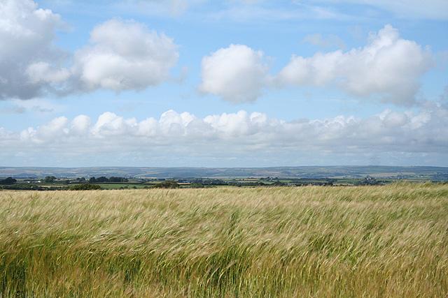
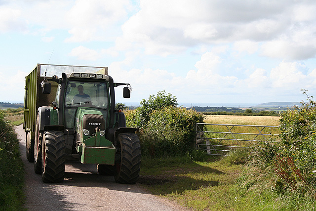
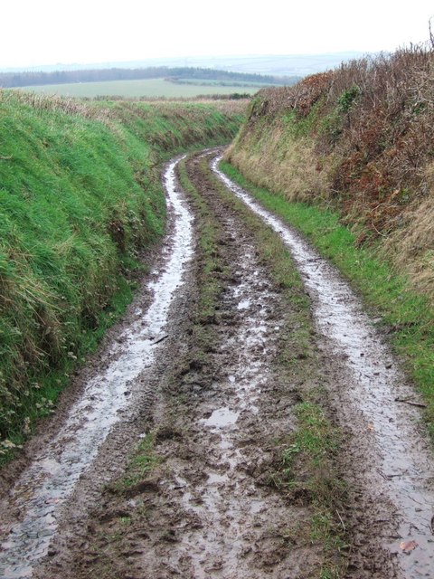
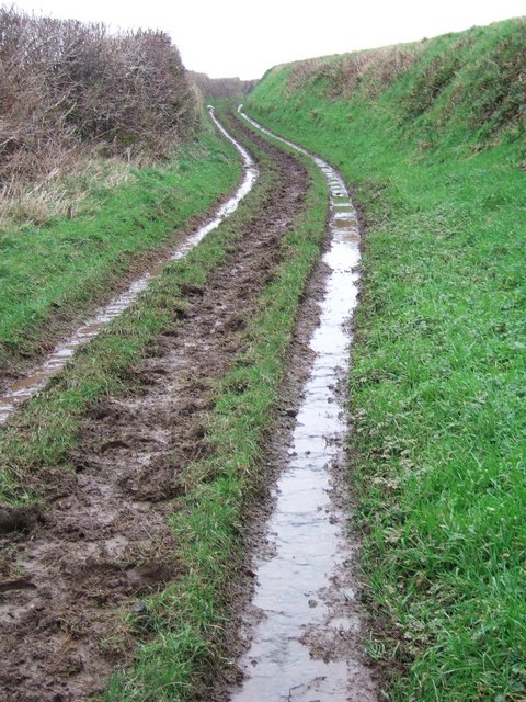
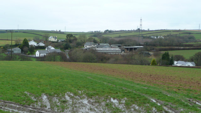
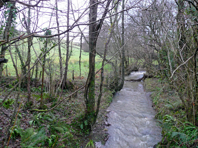
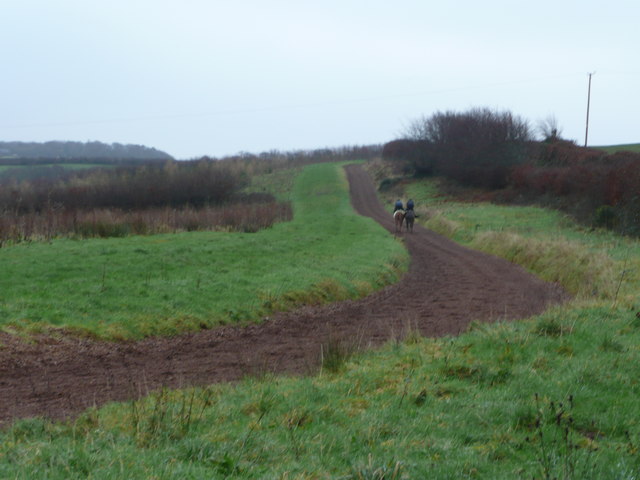
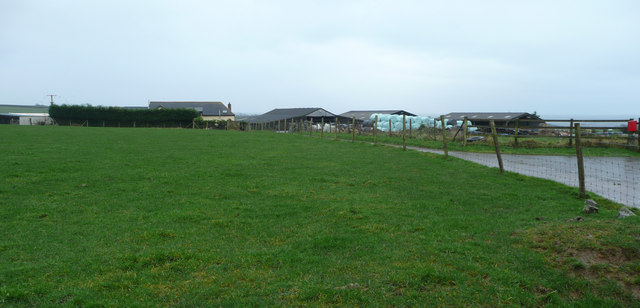
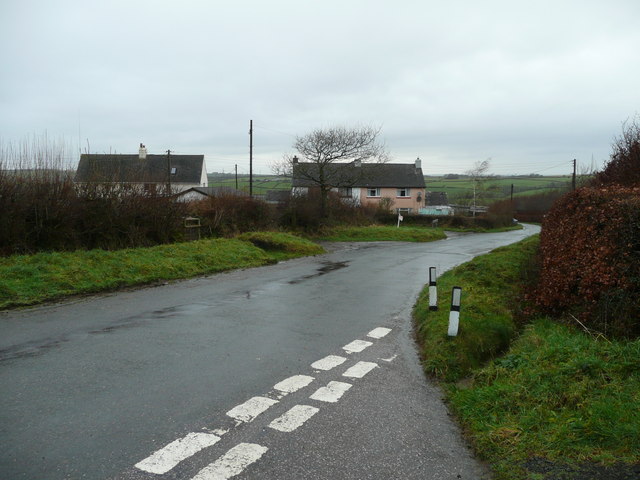
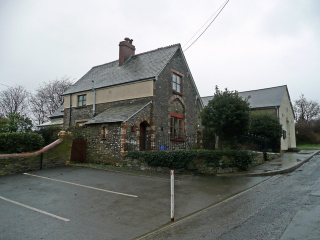
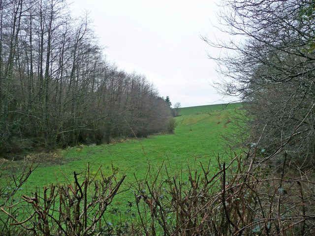
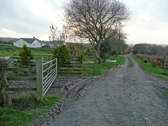
The parish covers an area of approximately 3.5 square miles and is predominantly rural, characterized by rolling hills and farmland. It is surrounded by picturesque countryside, offering stunning views of the Devonshire landscape. The parish is home to a small number of farms and scattered residential properties, providing a tranquil and peaceful environment for its residents.
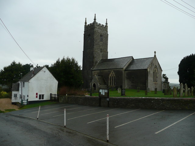
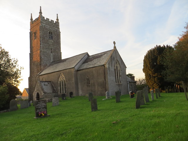
Huntshaw has a population of around 200 people, making it a close-knit community where neighbors often know each other well. The parish is served by a local church, the Church of St. Mary Magdalene, which dates back to the 13th century and is a fine example of medieval architecture.
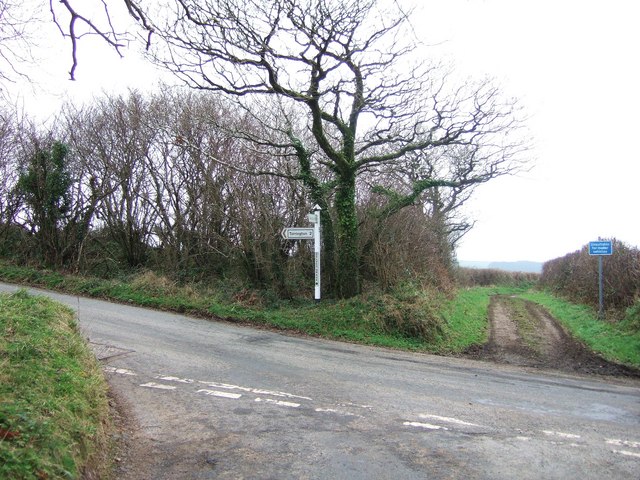
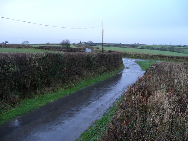
While there are no major amenities within the parish itself, residents have easy access to nearby towns and villages for their everyday needs. The area is well-connected by road, with the A386 running close by, providing convenient links to larger towns and cities in the region.
Overall, Huntshaw offers a charming rural setting, ideal for those seeking a peaceful and idyllic lifestyle in the heart of the Devon countryside.
If you have any feedback on the listing, please let us know in the comments section below.
Huntshaw Images
Images are sourced within 2km of 50.988673/-4.12383 or Grid Reference SS5123. Thanks to Geograph Open Source API. All images are credited.

Huntshaw is located at Grid Ref: SS5123 (Lat: 50.988673, Lng: -4.12383)
Administrative County: Devon
District: Torridge
Police Authority: Devon & Cornwall
What 3 Words
///showcases.ignites.grounded. Near Great Torrington, Devon
Nearby Locations
Related Wikis

Huntshaw
Huntshaw is a village and civil parish located 2.5 north north east of Great Torrington, in the Torridge district, in the county of Devon, England. In...

Berry Castle, Huntshaw
Berry Castle is an Iron Age Hill fort in the civil parish of Huntshaw, close to Weare Giffard in Devon, England, to the north of Great Torrington. The...

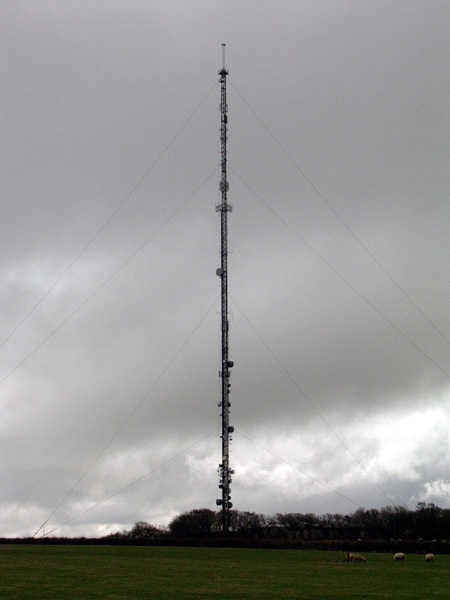
Huntshaw Cross transmitting station
Huntshaw Cross transmitting station is a telecommunications facility serving North Devon including the towns of Barnstaple and South Molton. It broadcasts...

Alverdiscott
Alverdiscott (pronounced Alscott, or ) is a village, civil parish, former manor and former ecclesiastical parish in the Torridge district of Devon, England...
Belle Vue Airfield
Belle Vue Airfield (often classed as airport or heliport) is a single runway airfield about 2.5 miles (4.0 km) north east of Great Torrington in North...

Webbery, Alverdiscott
Webbery (anciently Wibbery) is an historic manor in the parish of Alverdiscott in North Devon, England. == History == === Nicholas the Bowman === The manor...
Great Torrington School
Great Torrington School is a mixed secondary school located in Great Torrington in the English county of Devon.Previously a foundation school administered...
Torridgeside A.F.C.
Torridgeside Association Football Club is a football club based in Great Torrington, Devon, England. They are currently members of the South West Peninsula...
Nearby Amenities
Located within 500m of 50.988673,-4.12383Have you been to Huntshaw?
Leave your review of Huntshaw below (or comments, questions and feedback).