Hunton

Civil Parish in Yorkshire Richmondshire

England

Hunton

Crops in a Field off Brompton Road
Crops in a Field off Brompton Road Credit: David Dixon

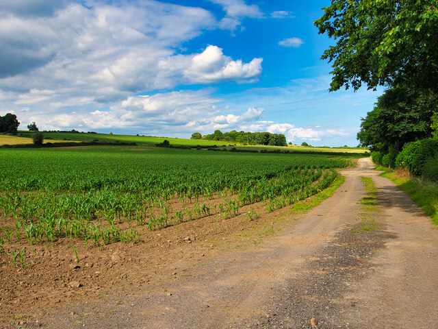
Hunton is a civil parish located in the district of Richmondshire, in the county of Yorkshire, England. It is situated approximately 6 miles northwest of the market town of Bedale and covers an area of around 11 square miles. The parish is nestled in the picturesque Yorkshire Dales National Park, known for its stunning landscapes and natural beauty.

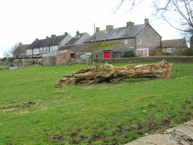
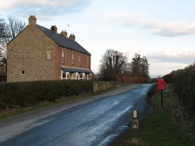
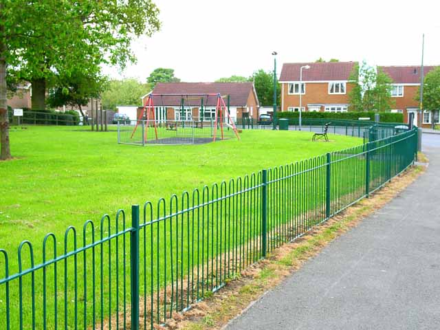
Hunton is a small village with a population of around 200 residents. The village is characterized by its traditional stone-built houses and charming rural setting. The parish is predominantly agricultural, with farming being the primary occupation for many of its inhabitants.

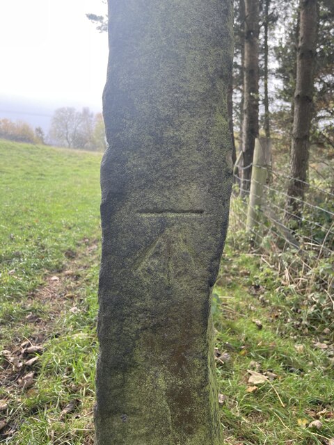
The village of Hunton has a rich history, with evidence of human habitation dating back to the prehistoric period. Several archaeological sites, including a Roman fort, have been discovered in the area, highlighting its historical significance. St. John the Baptist Church, a Grade II listed building, is a notable feature of the village and dates back to the 12th century.

Despite its small size, Hunton offers a range of amenities and facilities to its residents. These include a village hall, a primary school, a post office, and a village pub. The parish is also well-connected, with good road links to nearby towns and villages.

Hunton is a tranquil and picturesque village, offering a peaceful and idyllic lifestyle for its residents. It is a popular destination for tourists and outdoor enthusiasts, who come to explore the stunning countryside and enjoy activities such as hiking, cycling, and fishing in the nearby rivers.

If you have any feedback on the listing, please let us know in the comments section below.
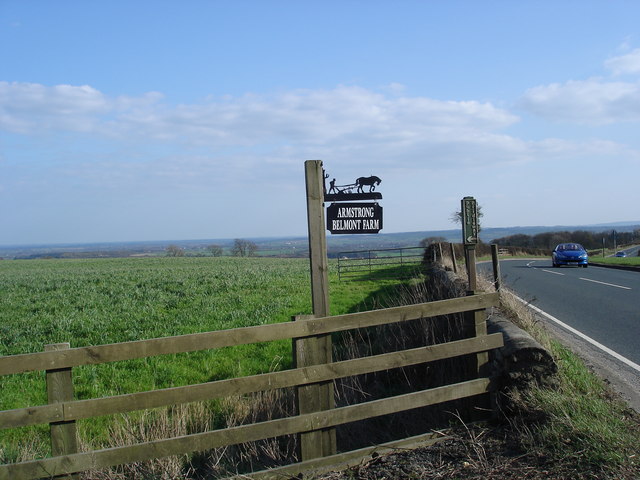
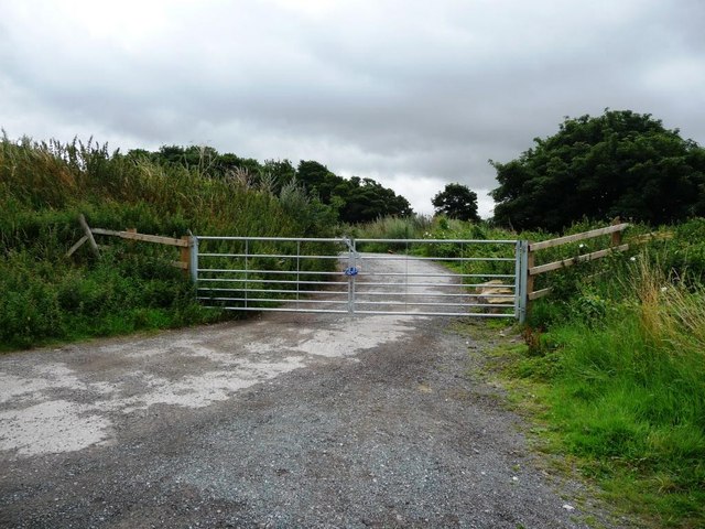
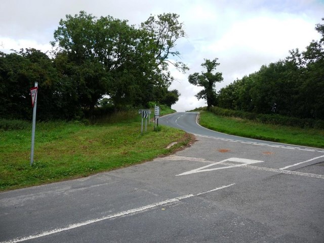
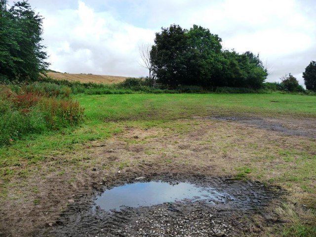
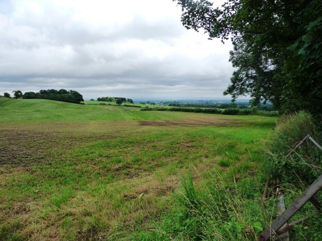
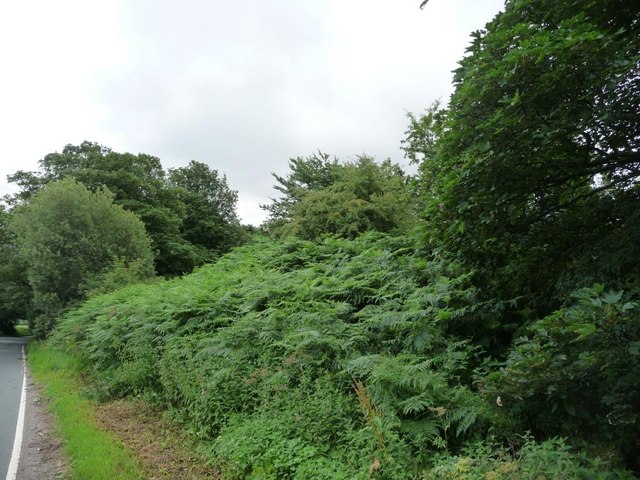
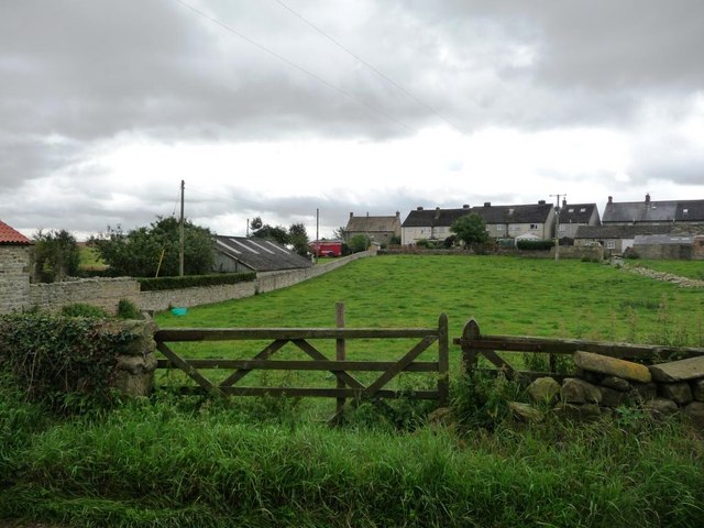
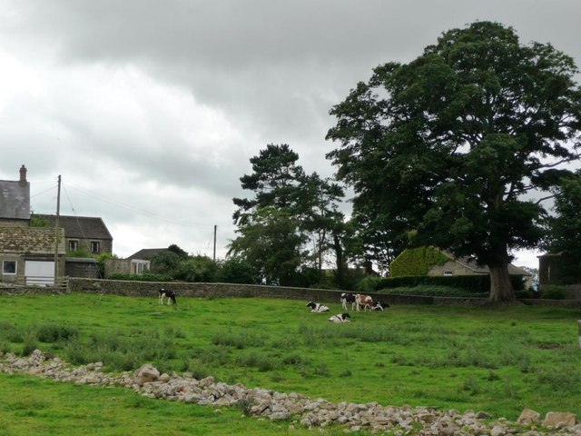
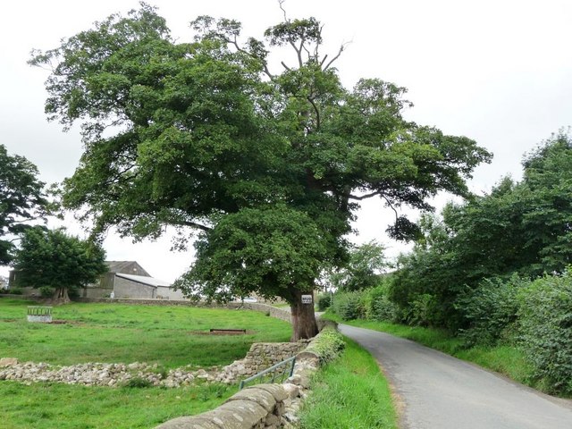
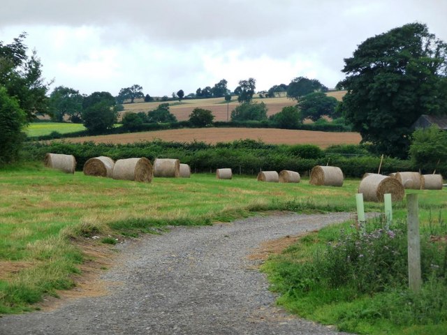
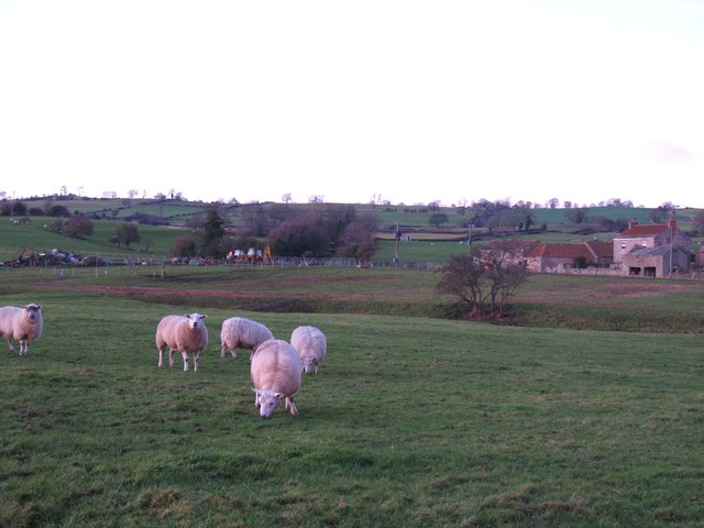
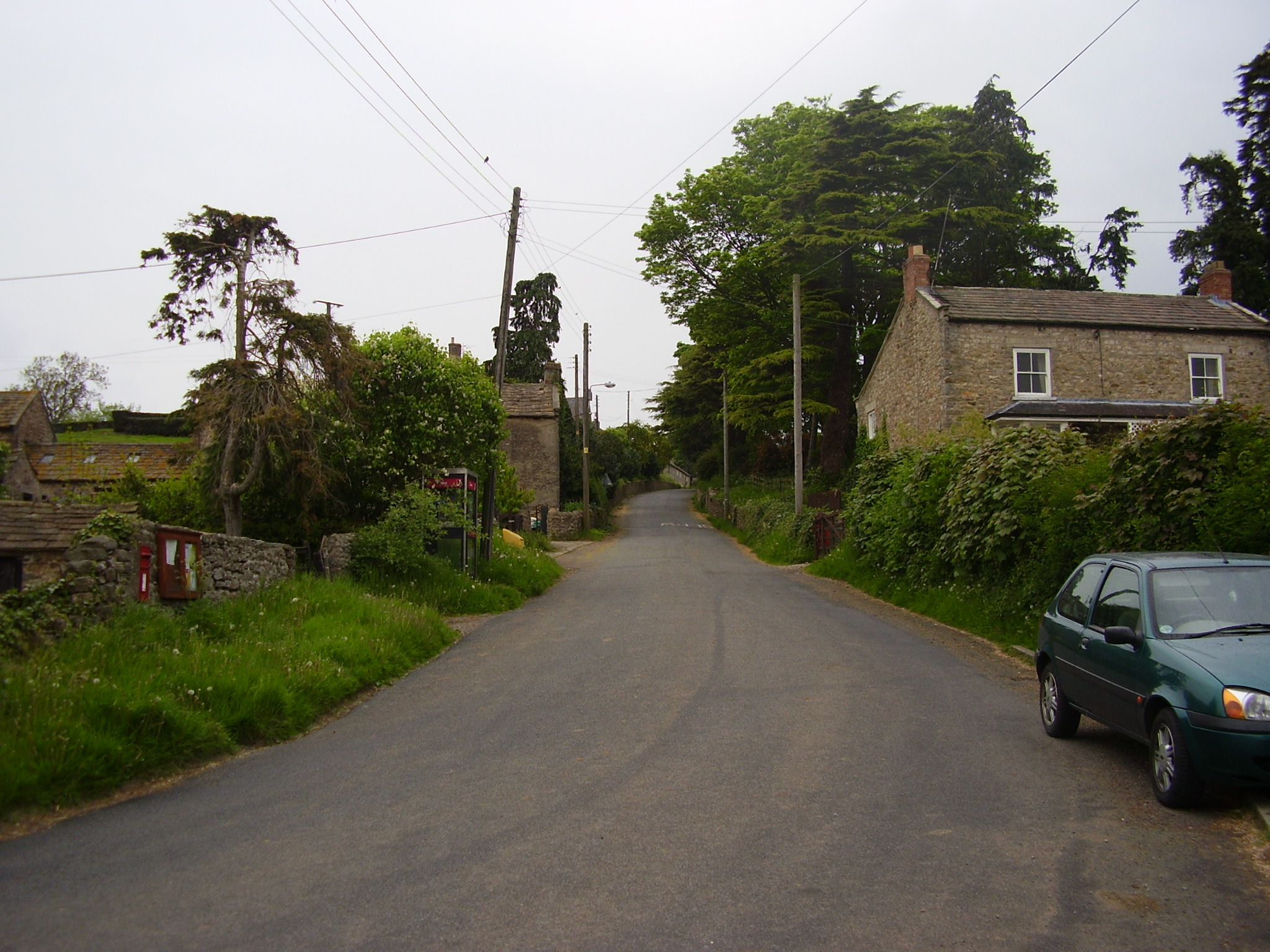
Hunton Images

Images are sourced within 2km of 54.335147/-1.713988 or Grid Reference SE1893. Thanks to Geograph Open Source API. All images are credited.

Crops in a Field off Brompton Road
Bullhouse Gatepost Gatepost west of Bullhouse

OS BM mark on gatepost

SE 2093 0262
Bullhouse Gatepost
Gatepost west of Bullhouse OS BM mark on gatepost SE 2093 0262
Cottages at Arrathorne
Cottages and postbox by country lane. A quiet country lane near Hunton.  Brick faced cottages with 'railway' slate roofs.
Cottages and postbox by country lane.
A quiet country lane near Hunton. Brick faced cottages with 'railway' slate roofs.
Bridleway and farm sign Bridleway and farm sign, on entrance to Belmont Lane Farm
Bridleway and farm sign
Bridleway and farm sign, on entrance to Belmont Lane Farm
Locked gate at Lingy Hill Entrance to former North Yorkshire refuse site, now closed.
Locked gate at Lingy Hill
Entrance to former North Yorkshire refuse site, now closed.
View to cornfield Immediately beyond the hedge is a crop of sweetcorn, then it appears to be wheat.
View to cornfield
Immediately beyond the hedge is a crop of sweetcorn, then it appears to be wheat.
Lane to Arrathorne or Hunton Fortunately too narrow for the local tank drivers to train on.
Lane to Arrathorne or Hunton
Fortunately too narrow for the local tank drivers to train on.
Junction with Craggs Lane Craggs Lane plays host to trainee tank drivers, hence the white lines.
Junction with Craggs Lane
Craggs Lane plays host to trainee tank drivers, hence the white lines.
Muddy field entrance Plenty of evidence of tractor traffic into this field off Craggs Lane.
Muddy field entrance
Plenty of evidence of tractor traffic into this field off Craggs Lane.
Muddy field at Lingy Hill Off Craggs Lane.
Muddy field at Lingy Hill
Off Craggs Lane.
Northern boundary of small wood Alongside Craggs Lane at Lingy Hill.
Northern boundary of small wood
Alongside Craggs Lane at Lingy Hill.
Farm buildings at Arrathorne The houses in the hamlet lie back from the lane.
Farm buildings at Arrathorne
The houses in the hamlet lie back from the lane.
Houses in East Arrathorne Taken from the lane through the village.
Houses in East Arrathorne
Taken from the lane through the village.
Grazing cattle in Arrathorne Taken from the lane through the village.
Grazing cattle in Arrathorne
Taken from the lane through the village.
Roadside tree in Arrathorne The notice warns of mud on the road.
Roadside tree in Arrathorne
The notice warns of mud on the road.
Swiss rolls in Arrathorne Hay bales on the grass just inside a farm entrance.
Swiss rolls in Arrathorne
Hay bales on the grass just inside a farm entrance.
Sheep pasture, Hunton Grazing sheep at Hunton. The small trees right of centre mark the position of Brockhill Pond, whilst beyond is Blewery Grange.
Sheep pasture, Hunton
Grazing sheep at Hunton. The small trees right of centre mark the position of Brockhill Pond, whilst beyond is Blewery Grange.
Show me another place!

Hunton is located at Grid Ref: SE1893 (Lat: 54.335147, Lng: -1.713988)

Division: North Riding

Administrative County: North Yorkshire

District: Richmondshire

Police Authority: North Yorkshire

What 3 Words

///float.decently.sounding. Near Catterick Garrison, North Yorkshire

Nearby Locations

Hunton

Related Wikis

Hunton, North Yorkshire

Hunton is a village and civil parish about 3 miles (4.8 km) south of Catterick Garrison and 6 miles (10 km) north west of Bedale, in North Yorkshire, England...

East Hauxwell

East Hauxwell or Hauxwell is a village and civil parish in North Yorkshire, England. It is located south of Catterick Garrison.To the west of the village...

Arrathorne

Arrathorne is a hamlet and civil parish in the former Richmondshire district of North Yorkshire, England. The settlement is 6 miles (9 km) south of Richmond...

Scotton, Richmondshire

Scotton is a village, civil parish and electoral ward in the Richmondshire district of North Yorkshire, England. The civil parish includes the centre and...

Nearby Amenities

Located within 500m of 54.335147,-1.713988
Crossing
Lat/Long: 54.3335628/-1.7166008
Power: pole
Lat/Long: 54.3323359/-1.7085513
Power: pole
Lat/Long: 54.3329652/-1.7094181
Power: pole
Lat/Long: 54.333585/-1.7102507
Power: pole
Lat/Long: 54.3341981/-1.7110925
Power: pole
Lat/Long: 54.3349563/-1.7121122
Power: pole
Lat/Long: 54.3354391/-1.7127486
Power: pole
Lat/Long: 54.3360145/-1.7135474
Power: pole
Lat/Long: 54.3367092/-1.714512
Power: pole
Lat/Long: 54.3372133/-1.7152306
Power: pole
Lat/Long: 54.3379275/-1.7162161
Power: pole
Lat/Long: 54.3386031/-1.7171376
Power: pole
Lat/Long: 54.3386124/-1.7176167
Power: pole
Lat/Long: 54.3360309/-1.7134923
Power: pole
Lat/Long: 54.3363714/-1.7123106
Power: pole
Lat/Long: 54.3367146/-1.7111221
Power: pole
Lat/Long: 54.3369619/-1.7102279
Power: pole
Lat/Long: 54.3330569/-1.7078235
Power: pole
Lat/Long: 54.3331806/-1.7076867
The data included in this document is from www.openstreetmap.org. The data is made available under ODbL.

Have you been to Hunton?

Leave your review of Hunton below (or comments, questions and feedback).