Hunnington

Civil Parish in Worcestershire Bromsgrove

England

Hunnington

Swallow's Nest Pub, Romsley
Swallow's Nest Pub, Romsley Credit: Geoff Gartside

Hunnington is a civil parish located in the county of Worcestershire, England. It is situated approximately 10 miles southwest of Birmingham and covers an area of around 4 square miles. The parish is part of the Bromsgrove district and is surrounded by the picturesque countryside of the Lickey Hills.

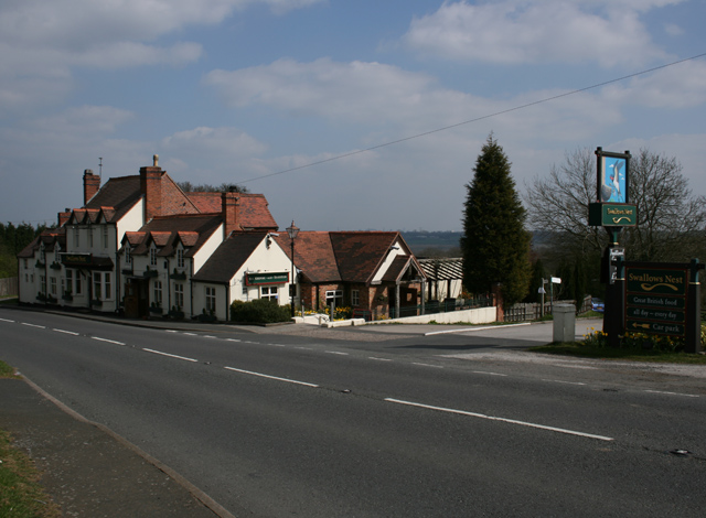
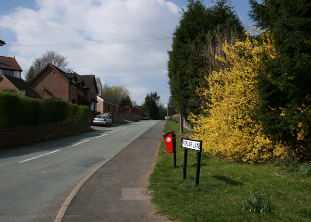
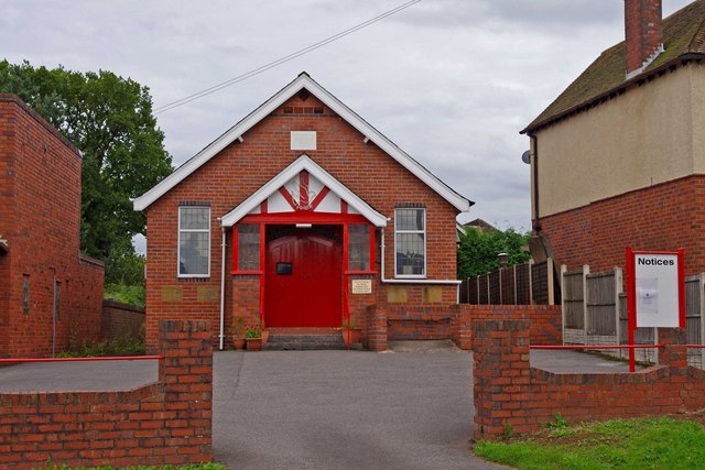
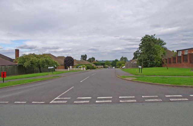
The village of Hunnington itself is small, with a population of just over 600 residents. It is a predominantly rural area, characterized by its charming cottages and historic buildings. The parish is home to St. Nicholas Church, a Grade II listed building that dates back to the 12th century. The church is a prominent feature of the village and holds regular services.

Agriculture has traditionally been an important industry in Hunnington, with farming playing a significant role in the local economy. The fertile land and favorable climate make it suitable for livestock farming and crop cultivation.

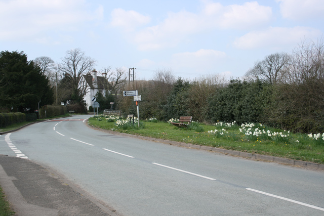
The parish offers a peaceful and idyllic setting, attracting visitors who seek a tranquil retreat away from the bustle of city life. The surrounding countryside provides ample opportunities for outdoor activities such as walking, hiking, and cycling. The Lickey Hills Country Park, located nearby, offers stunning views of the surrounding area and is a popular spot for nature enthusiasts.

Hunnington is well-connected to nearby towns and cities, with good road links to Birmingham and Worcester. The village is served by local bus services, providing convenient transportation options for residents and visitors.

If you have any feedback on the listing, please let us know in the comments section below.
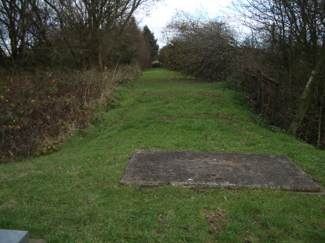
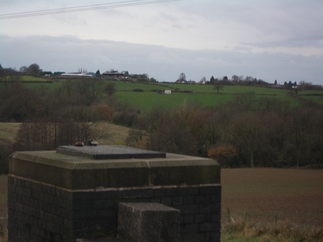
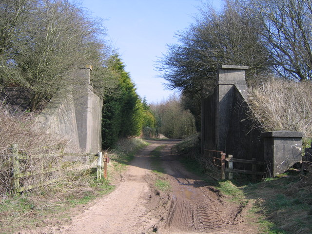
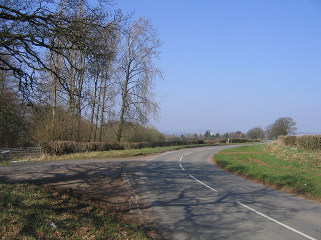
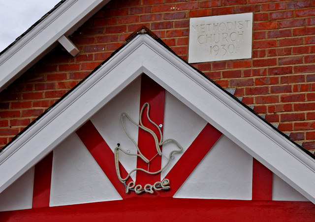
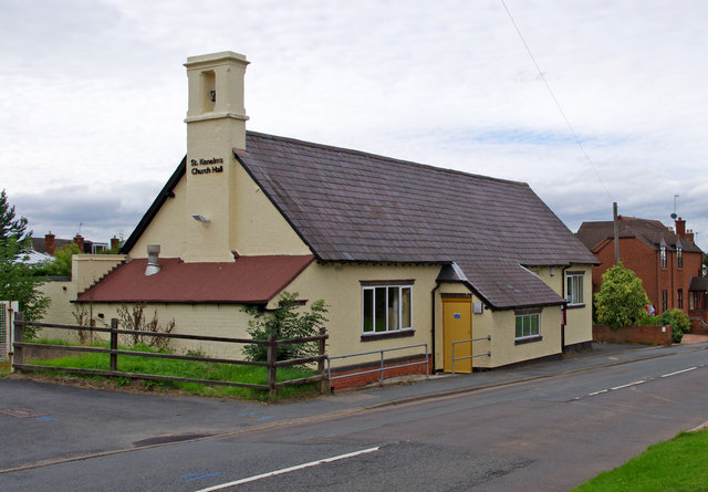
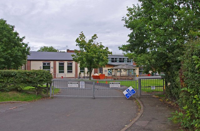
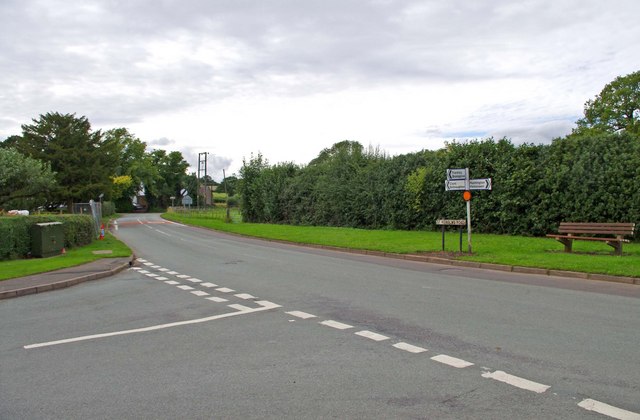
Hunnington Images

Images are sourced within 2km of 52.429389/-2.048973 or Grid Reference SO9681. Thanks to Geograph Open Source API. All images are credited.

Swallow's Nest Pub, Romsley
St Kenelm's Road Romsley Junction with Dark Lane
St Kenelm's Road Romsley
Junction with Dark Lane
Poplar Lane, Romsley
Elan pipeline syphon access Adjacent to the dismantled Halesowen Railway and the Illey Way, this is the top of the Frankley side of the valley between Frankley and Romsley hills.
Elan pipeline syphon access
Adjacent to the dismantled Halesowen Railway and the Illey Way, this is the top of the Frankley side of the valley between Frankley and Romsley hills.
Route of Elan pipeline A long mound concealing the Elan pipeline, looking towards Frankley.
Route of Elan pipeline
A long mound concealing the Elan pipeline, looking towards Frankley.
Elan pipeline syphon access In the foreground, the Elan pipeline access point on the east side of the valley between Frankley and Romsley hills.  Looking towards Horsepool Farm in <a href="https://www.geograph.org.uk/gridref/SO9680">SO9680</a>; a further syphon access point is visible next to the white box on the hillside opposite.
Elan pipeline syphon access
In the foreground, the Elan pipeline access point on the east side of the valley between Frankley and Romsley hills. Looking towards Horsepool Farm in SO9680; a further syphon access point is visible next to the white box on the hillside opposite.
Romseley - Dark Lane Junction with B4551 Bromsgrove Road
Dismantled Railway Bridge, Rubery to Halesowen Railway
Oxwood Lane, Frankley.
Remains of railway bridge, near Elan Aqueduct Viewed from site of Halesowen Railway bridge, close to route of Elan Aqueduct.  Under former bridge, off to right is cul-de-sac on Oxwood Lane.  Half a mile north of here is the site of Dowery Dell viaduct.

More recent photo <a href="https://www.geograph.org.uk/photo/1213252">SO9779 : Dismantled Railway Bridge, Rubery to Halesowen Railway</a>
Remains of railway bridge, near Elan Aqueduct
Viewed from site of Halesowen Railway bridge, close to route of Elan Aqueduct. Under former bridge, off to right is cul-de-sac on Oxwood Lane. Half a mile north of here is the site of Dowery Dell viaduct. More recent photo SO9779 : Dismantled Railway Bridge, Rubery to Halesowen Railway
The Swallows Nest (formerly The Fighting Cocks), 40 Bromsgrove Road There used to be a lot of pubs in Romsley, but most closed long ago. The Fighting Cocks was one of the few survivors, and some years ago was renamed The Swallows Nest. The building was originally a row of labourers' cottages, belonging to a long gone farm opposite. The cottages were knocked into one, to make the pub, and this was licensed in 1825. It seems however that there was a Fighting Cocks inn or pub in Romsley from at least the 16th century, but that presumably was on a different site. The present pub's cellar is said to be haunted by a former landlady.

<a href="https://www.geograph.org.uk/photo/2026705">SO9679 : The Swallows Nest (pub sign), 40 Bromsgrove Road</a>.
The Swallows Nest (formerly The Fighting Cocks), 40 Bromsgrove Road
There used to be a lot of pubs in Romsley, but most closed long ago. The Fighting Cocks was one of the few survivors, and some years ago was renamed The Swallows Nest. The building was originally a row of labourers' cottages, belonging to a long gone farm opposite. The cottages were knocked into one, to make the pub, and this was licensed in 1825. It seems however that there was a Fighting Cocks inn or pub in Romsley from at least the 16th century, but that presumably was on a different site. The present pub's cellar is said to be haunted by a former landlady. SO9679 : The Swallows Nest (pub sign), 40 Bromsgrove Road.
The Swallows Nest (pub sign), 40 Bromsgrove Road The Swallows Nest is one of the pubs run by Vintage Inns. The previous sign has been replaced by this rather insipid design.

<a href="https://www.geograph.org.uk/photo/2026693">SO9679 : The Swallows Nest (formerly The Fighting Cocks), 40 Bromsgrove Road</a>.
The Swallows Nest (pub sign), 40 Bromsgrove Road
The Swallows Nest is one of the pubs run by Vintage Inns. The previous sign has been replaced by this rather insipid design. SO9679 : The Swallows Nest (formerly The Fighting Cocks), 40 Bromsgrove Road.
Romsley Methodist Church, Bromsgrove Road The church building dates from 1930. The red and white decor seems recent. On the Blackheath & Halesowen Circuit website, the photograph shows the building with dark blue and white paintwork.

<a href="https://www.geograph.org.uk/photo/2027999">SO9679 : Romsley Methodist Church - detail, Bromsgrove Road</a>.
Romsley Methodist Church, Bromsgrove Road
The church building dates from 1930. The red and white decor seems recent. On the Blackheath & Halesowen Circuit website, the photograph shows the building with dark blue and white paintwork. SO9679 : Romsley Methodist Church - detail, Bromsgrove Road.
Romsley Methodist Church - detail, Bromsgrove Road Above the door is a representation of a dove and the word "Peace". Above that is a stone, inscribed with the words "Methodist Church 1930".

<a href="https://www.geograph.org.uk/photo/2027991">SO9679 : Romsley Methodist Church, Bromsgrove Road</a>.
Romsley Methodist Church - detail, Bromsgrove Road
Above the door is a representation of a dove and the word "Peace". Above that is a stone, inscribed with the words "Methodist Church 1930". SO9679 : Romsley Methodist Church, Bromsgrove Road.
St. Kenelm's Church Hall, Bromsgrove Road The church itself is not in the village, but one and a quarter miles away, in rural countryside. It seems there used to be a settlement around it long ago, called Kenelmstowe, but that has disappeared, apart from a farmhouse. In the modern village of Romsley, the church has this hall, which is used for various functions both by the church, and other organisations. What is particularly interesting about the building, is that it started life as a National School in the middle of the 19th century. In 1925/26 it was remodelled as a mission room, but later became the church hall.
St. Kenelm's Church Hall, Bromsgrove Road
The church itself is not in the village, but one and a quarter miles away, in rural countryside. It seems there used to be a settlement around it long ago, called Kenelmstowe, but that has disappeared, apart from a farmhouse. In the modern village of Romsley, the church has this hall, which is used for various functions both by the church, and other organisations. What is particularly interesting about the building, is that it started life as a National School in the middle of the 19th century. In 1925/26 it was remodelled as a mission room, but later became the church hall.
St. Kenelm's Church of England Primary School, Bromsgrove Road A Church of England primary school, taking pupils in the age range 5 to 11 years old.
St. Kenelm's Church of England Primary School, Bromsgrove Road
A Church of England primary school, taking pupils in the age range 5 to 11 years old.
Junction of St. Kenelm's Road with Dark Lane Dark Lane is coming in on the left. Most of the built-up area of the village of Romsley is contained within a triangle, formed by these two roads and Bromsgrover Road (the B4551).
Junction of St. Kenelm's Road with Dark Lane
Dark Lane is coming in on the left. Most of the built-up area of the village of Romsley is contained within a triangle, formed by these two roads and Bromsgrover Road (the B4551).
Hillside Road One of the village's main residential roads, here seen from its junction with Dark Lane. There is some very nice housing in the village, and being so near to Birmingham, it is likely that most residents of working age commute to work in the Birmingham area.
Hillside Road
One of the village's main residential roads, here seen from its junction with Dark Lane. There is some very nice housing in the village, and being so near to Birmingham, it is likely that most residents of working age commute to work in the Birmingham area.
Show me another place!

Hunnington is located at Grid Ref: SO9681 (Lat: 52.429389, Lng: -2.048973)

Administrative County: Worcestershire

District: Bromsgrove

Police Authority: West Mercia

What 3 Words

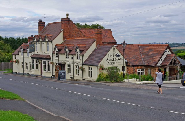
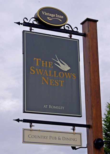
///filer.still.deed. Near Romsley, Worcestershire

Nearby Locations

Hunnington Hunnington

Related Wikis

Hunnington railway station

Hunnington railway station was a railway station in the village of Hunnington, near Halesowen, England, on the Great Western Railway & Midland Railway...

Hunnington

Hunnington is a village and civil parish in the Bromsgrove District of Worcestershire, England, close to the border with West Midlands, and just south...
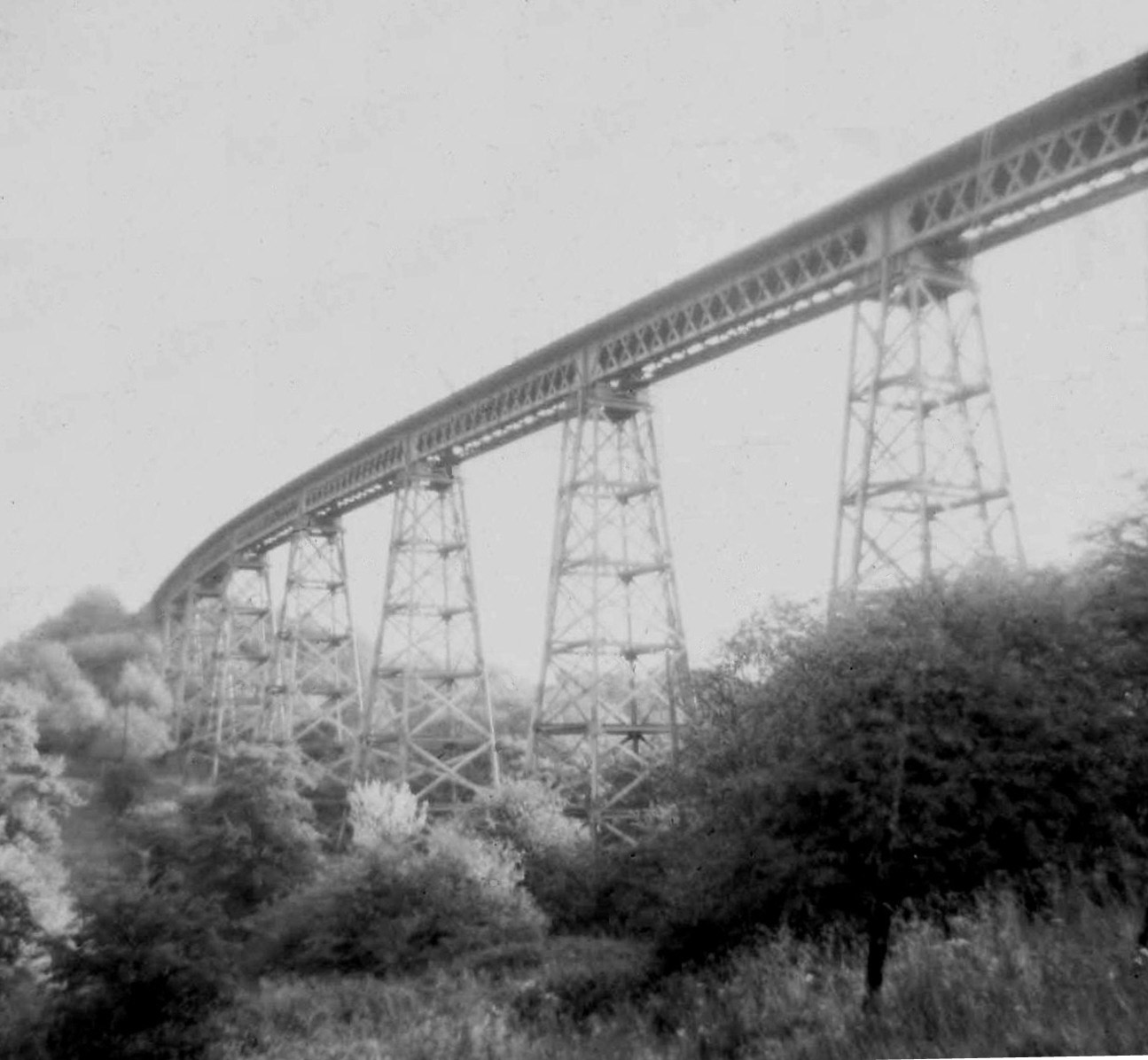
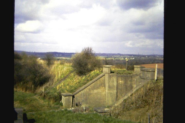
Dowery Dell Viaduct

Dowery Dell, between Rubery and Halesowen in Worcestershire, was a 234 yards (214 m), nine span lattice steel, single-track railway viaduct that carried...

Illey Pastures

Illey Pastures is a 3.5-hectare (8.6-acre) biological site of Special Scientific Interest in the West Midlands. The site was notified in 1989 under the...

Nearby Amenities

Located within 500m of 52.429389,-2.048973
Post Box
Post Box Mounting: brick_pillar
Post Box Type: wall
Ref: B62 292
Lat/Long: 52.4301017/-2.0502232
Romsley & Hunnington Bowls Club
Sport: bowls
Lat/Long: 52.4300573/-2.0502708
Romsley & Hunnington Cricket Club
Sport: cricket
Lat/Long: 52.4299651/-2.0503436
Hunnington
Place: hamlet
Wikidata: Q2932626
Lat/Long: 52.4311547/-2.0501645
Turning Circle
Lat/Long: 52.4277845/-2.0535394
Bus Stop
Blue Bird Park
Bus: yes
Naptan AtcoCode: 2000G010400
Naptan Bearing: NE
Naptan CommonName: Blue Bird Park
Naptan Indicator: adj
Naptan Landmark: Blue Bird Park
Naptan NaptanCode: wocdmpaj
Naptan Street: Bromsgrove Road
Naptan Verified: no
Public Transport: platform
Source: naptan_import
Lat/Long: 52.4301893/-2.0504012
Bus Stop
Blue Bird Park
Bus: yes
Naptan AtcoCode: 2000G010490
Naptan Bearing: SW
Naptan BusStopType: CUS
Naptan CommonName: Blue Bird Park
Naptan Indicator: opp
Naptan Landmark: Blue Bird Park
Naptan NaptanCode: wocdmpam
Naptan Street: Bromsgrove Road
Naptan Verified: no
Public Transport: platform
Source: naptan_import
Lat/Long: 52.4300447/-2.0505338
Bus Stop
Redhill Place
Bus: yes
Naptan AtcoCode: 2000G503121
Naptan Bearing: NE
Naptan CommonName: Redhill Place
Naptan Crossing: Redhill Place
Naptan Indicator: Adj
Naptan NaptanCode: wocdwmam
Naptan Street: Bromsgrove Road
Naptan Verified: no
Public Transport: platform
Source: naptan_import
Lat/Long: 52.4278088/-2.0526809
Bus Stop
Redhill Place
Bus: yes
Naptan AtcoCode: 2000G503122
Naptan Bearing: S
Naptan CommonName: Redhill Place
Naptan Crossing: Redhill Place
Naptan Indicator: adj
Naptan NaptanCode: wocdwmap
Naptan Street: Bromsgrove Road
Naptan Verified: no
Public Transport: platform
Source: naptan_import
Lat/Long: 52.4275391/-2.0525041
Hunnington Train Station
Lat/Long: 52.4300337/-2.0473502
Barrier: stile
Lat/Long: 52.4316298/-2.0475005
Barrier: stile
Lat/Long: 52.4259642/-2.0525548
Barrier: stile
Lat/Long: 52.425605/-2.0450897
Barrier: stile
Lat/Long: 52.4316628/-2.0455296
Barrier: stile
Lat/Long: 52.4320226/-2.0438773
The data included in this document is from www.openstreetmap.org. The data is made available under ODbL.

Have you been to Hunnington?

Leave your review of Hunnington below (or comments, questions and feedback).