Hullavington
Civil Parish in Wiltshire
England
Hullavington

Hullavington is a civil parish located in the county of Wiltshire, England. It is situated approximately 12 miles north-west of the town of Chippenham and 15 miles north-east of the city of Bath. The parish covers an area of around 5 square miles and is home to a population of approximately 1,200 residents.
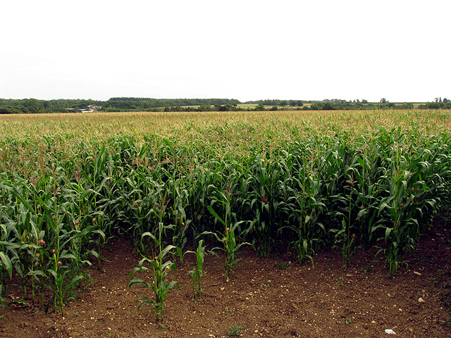
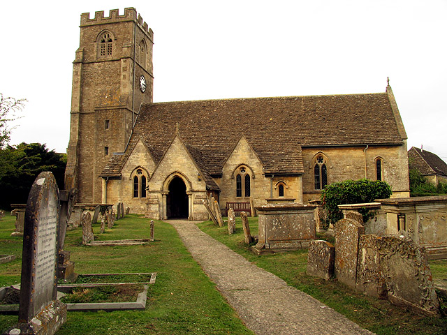
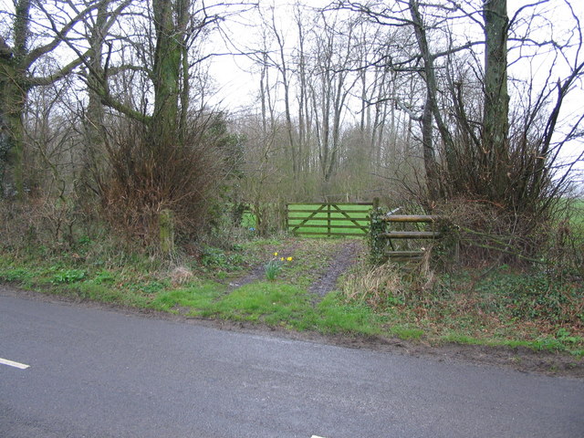
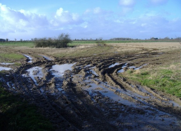
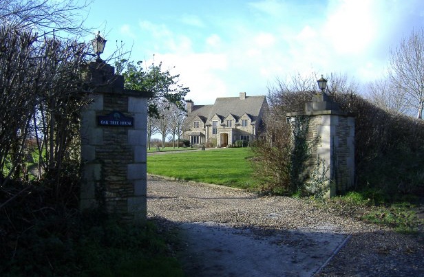
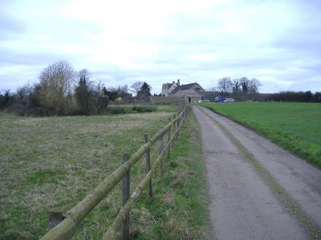
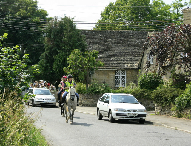
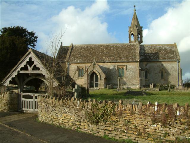
The village of Hullavington is the main settlement within the parish. It is a charming rural village with a rich history dating back to medieval times. The village is known for its picturesque countryside, with rolling hills and open fields surrounding the area. It offers a peaceful and idyllic setting, making it an attractive place to live for those seeking a quiet and rural lifestyle.
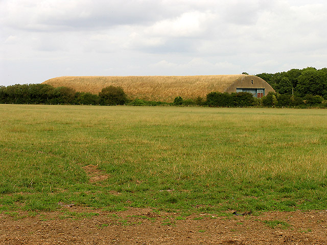
Hullavington is also home to Hullavington Airfield, which was originally built in the 1930s and served as a Royal Air Force station during World War II. The airfield has since been decommissioned but is now being redeveloped as a technology and research hub, attracting various businesses and organizations to the area. This redevelopment has brought new opportunities and economic growth to the village.
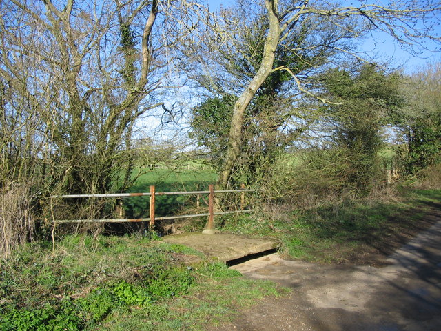
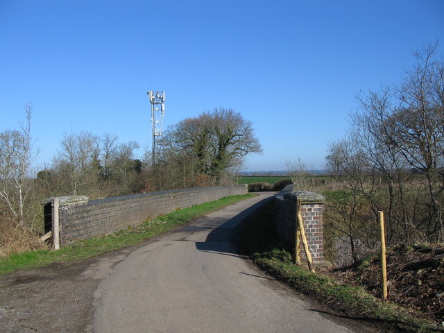
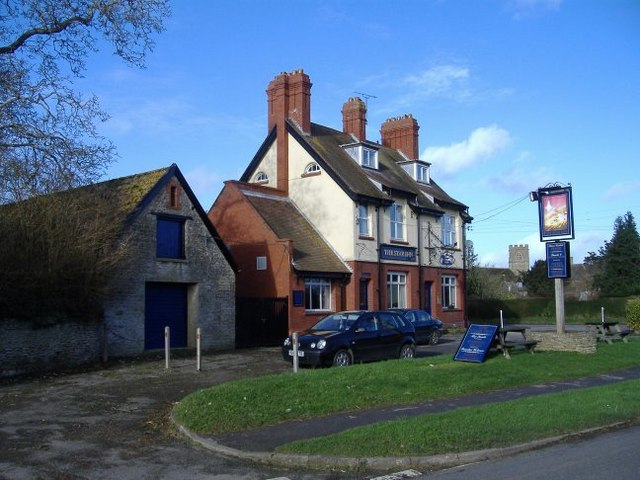
In terms of amenities, Hullavington has a primary school, a village hall, a post office, and a local pub. The village is well-connected to neighboring towns and cities via road links, with the M4 motorway located nearby. Additionally, the village is surrounded by beautiful countryside, offering various outdoor recreational activities such as walking, cycling, and horse riding.
Overall, Hullavington is a charming and picturesque civil parish in Wiltshire, offering a peaceful rural lifestyle, a rich history, and opportunities for growth and development.
If you have any feedback on the listing, please let us know in the comments section below.
Hullavington Images
Images are sourced within 2km of 51.541499/-2.161554 or Grid Reference ST8882. Thanks to Geograph Open Source API. All images are credited.


Hullavington is located at Grid Ref: ST8882 (Lat: 51.541499, Lng: -2.161554)
Unitary Authority: Wiltshire
Police Authority: Wiltshire
What 3 Words
///assist.vans.sprinkler. Near Norton, Wiltshire
Nearby Locations
Related Wikis

Hullavington
Hullavington is a village and civil parish in Wiltshire, England, just to the north of the M4 motorway. The village lies about 4 miles (6 km) southwest...

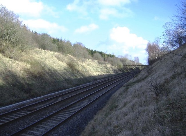
Hullavington railway station
Hullavington railway station served the civil parish of Hullavington, Wiltshire, England from 1903 to 1965 on the South Wales Main Line. == History... ==

Norton, Wiltshire
Norton is a small village and civil parish in Wiltshire, England, about 3.5 miles (5.6 km) south-west of Malmesbury. The parish includes the hamlets of...

RAF Hullavington
Royal Air Force Hullavington, or more simply RAF Hullavington, (ICAO: EGDV) was a Royal Air Force station located at Hullavington, near Chippenham, Wiltshire...

Buckley Barracks
Buckley Barracks is a British Army barracks in Wiltshire, England, about 4+1⁄2 miles (7 km) north of Chippenham and 15 miles (24 km) west of Swindon. It...
Stanton St Quintin
Stanton St Quintin is a small village and civil parish in the county of Wiltshire in England. It is about 4 miles (6.4 km) north of Chippenham and 5 miles...
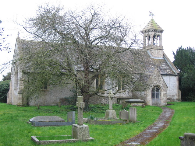
St Margaret of Antioch Church, Leigh Delamere
St Margaret of Antioch Church in Leigh Delamere, Wiltshire, England was built on the site of a previous 12th-century church in 1846 and dedicated to Margaret...
Leigh Delamere
Leigh Delamere is a small village in the civil parish of Grittleton in the English county of Wiltshire, about 4 miles (6 km) northwest of the town of Chippenham...
Nearby Amenities
Located within 500m of 51.541499,-2.161554Have you been to Hullavington?
Leave your review of Hullavington below (or comments, questions and feedback).