Huddington
Civil Parish in Worcestershire Wychavon
England
Huddington
Huddington is a civil parish located in Worcestershire, England. It is situated approximately 7 miles southwest of the city of Worcester and is part of the Wychavon district. The parish covers an area of around 5.5 square miles and has a population of just over 200 people.
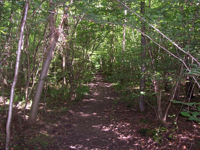
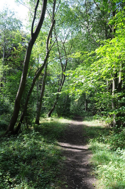
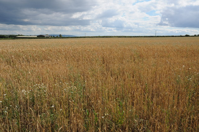
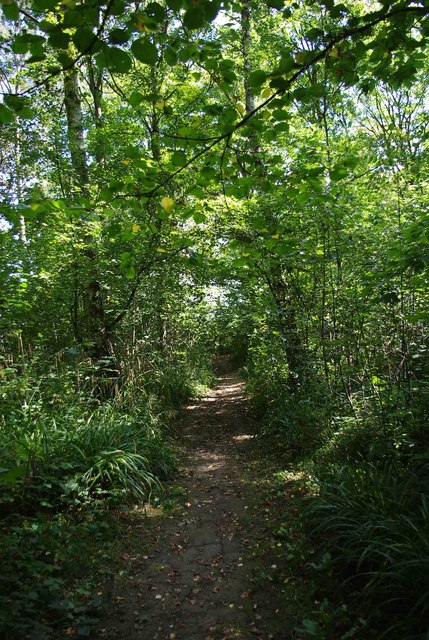
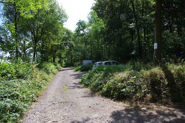
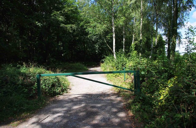
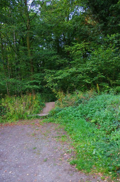
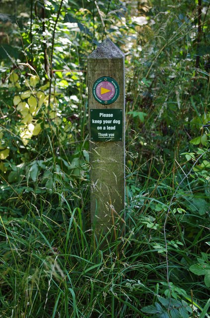
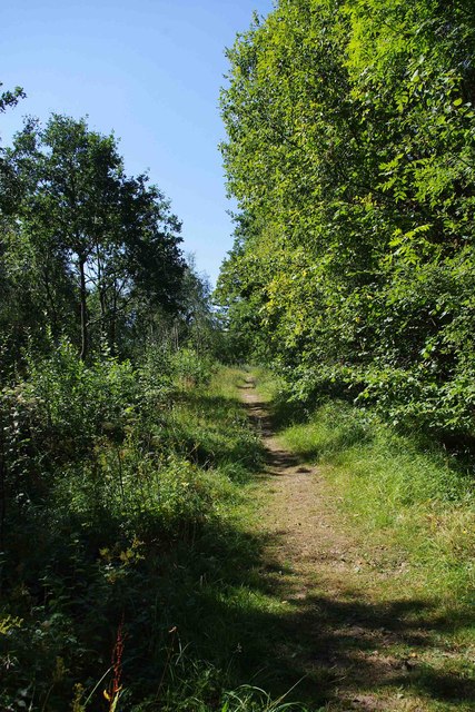
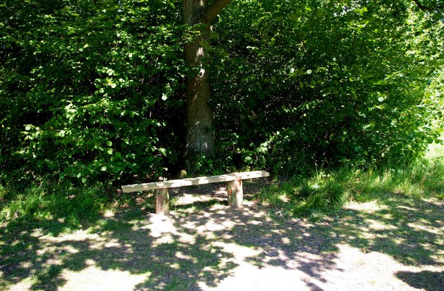
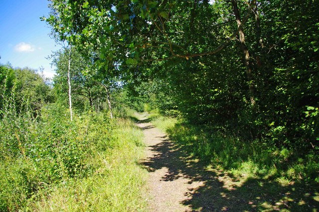
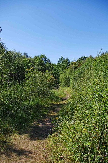
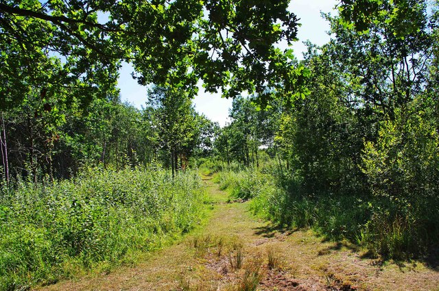
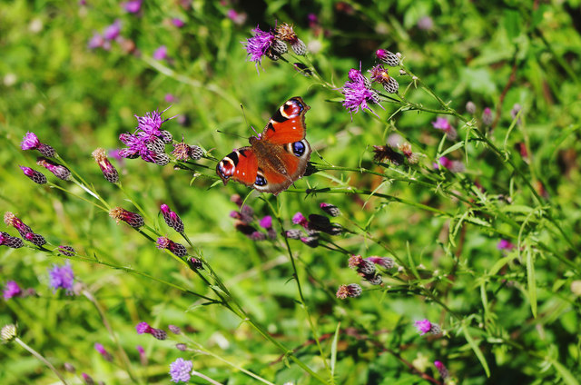
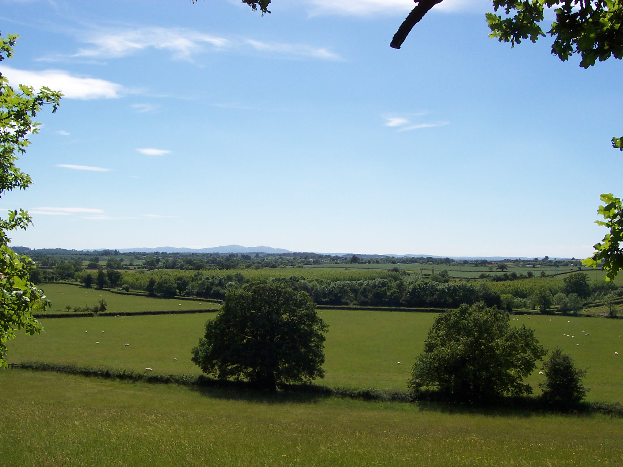
Huddington is a rural area known for its picturesque countryside and tranquil atmosphere. It is surrounded by fields, woodlands, and small streams, making it an ideal place for outdoor activities such as hiking, cycling, and birdwatching. The landscape is characterized by rolling hills and meandering country lanes, providing stunning views of the Worcestershire countryside.
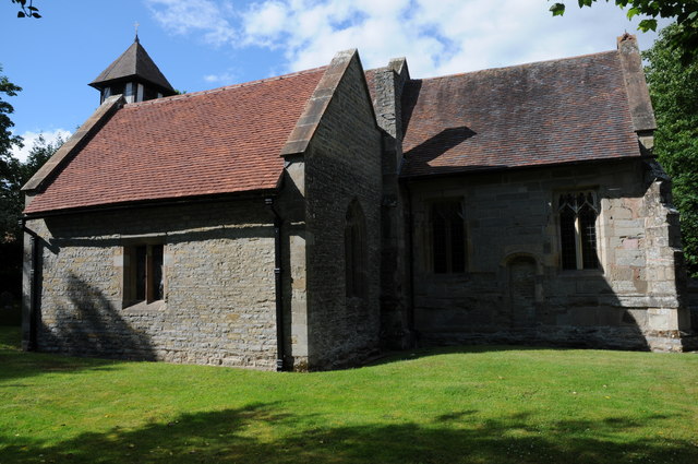
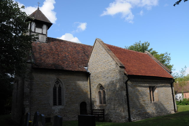
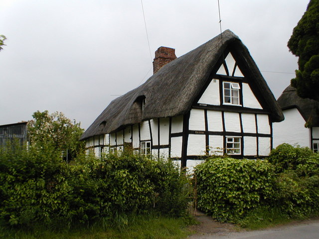
The heart of Huddington is its historic church, St. James the Great, which dates back to the 12th century. This beautiful Grade I listed building is known for its distinctive Norman architecture and features a medieval stained glass window. The church is still an active place of worship and holds regular services.
The parish also boasts a number of historic buildings, including Huddington Court, a Grade II* listed mansion that dates back to the 17th century. This grand house is set within extensive gardens and parkland, adding to the area's charm and heritage.
In terms of amenities, Huddington has limited facilities, with no shops or pubs within the parish boundaries. However, the nearby towns of Worcester and Droitwich Spa provide a wide range of services such as shops, restaurants, and leisure facilities.
Overall, Huddington offers a peaceful and rural lifestyle, with its beautiful countryside, historic buildings, and close proximity to larger towns providing a balance of convenience and tranquility.
If you have any feedback on the listing, please let us know in the comments section below.
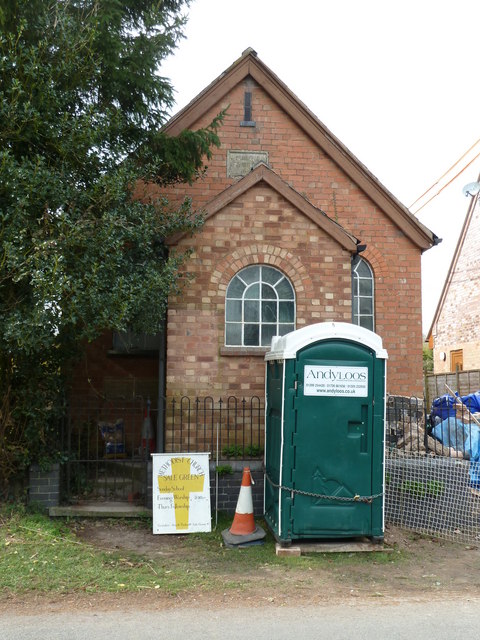
Huddington Images
Images are sourced within 2km of 52.217416/-2.090412 or Grid Reference SO9357. Thanks to Geograph Open Source API. All images are credited.

Huddington is located at Grid Ref: SO9357 (Lat: 52.217416, Lng: -2.090412)
Administrative County: Worcestershire
District: Wychavon
Police Authority: West Mercia
What 3 Words
///cyber.chosen.radiating. Near Kington, Worcestershire
Nearby Locations
Related Wikis
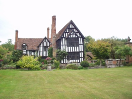
Huddington Court
Huddington Court is a 15th-century moated manor house in the village of Huddington in Worcestershire, England, some six miles east of Worcester. It was...

Huddington
Huddington is a village in Worcestershire, England. == Location == Huddington is located 5 miles (8.0 km) east of Worcester and 5 miles (8.0 km) south...

Himbleton
Himbleton is a village in Worcestershire, England. It lies about 5 miles (8.0 km) south-east of Droitwich and 7.5 miles (12.1 km) north-east of Worcester...
Trench Wood
Trench Wood is a woodland area part managed by the Worcestershire Wildlife Trust and Butterfly Conservation. It is located around 6 miles (9.7 km) miles...

Dunhampstead railway station
Dunhampstead railway station served the village of Dunhampstead, Worcestershire, England, from 1841 to 1855 on the Birmingham and Gloucester Railway....

Earls Common
Earls Common is a village in Worcestershire, England. Villages nearby include Himbleton and Stock Green.
Crowle, Worcestershire
Crowle (rhymes with coal) is a village in Worcestershire, England situated 4 miles (6.4 km) east of the City of Worcester. Crowle is known for its Church...

Grafton Flyford
Grafton Flyford is a village about 6 miles (9.7 km) east of Worcester, in Worcestershire, England. It neighbours Stock Green, with the large farm house...
Nearby Amenities
Located within 500m of 52.217416,-2.090412Have you been to Huddington?
Leave your review of Huddington below (or comments, questions and feedback).