Hougham
Civil Parish in Lincolnshire South Kesteven
England
Hougham

Hougham is a civil parish located in the county of Lincolnshire, in the East Midlands region of England. It is situated approximately 5 miles west of the town of Grantham. The parish covers an area of around 2.6 square miles and has a population of around 300 residents.
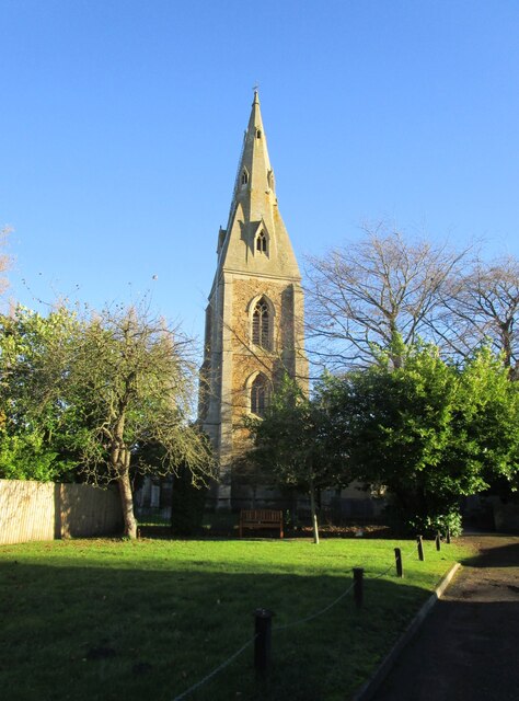
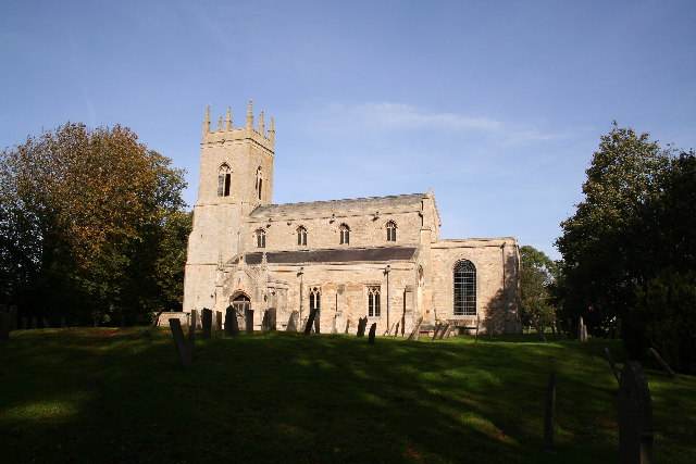
Hougham is a rural village surrounded by picturesque countryside, with rolling hills and farmland dominating the landscape. The village itself is characterized by its charming and traditional architecture, with many historic buildings dating back several centuries. Among the notable landmarks in Hougham is the parish church of St. Thomas, a beautiful medieval structure that has been well-preserved over the years.
The village offers a peaceful and tranquil atmosphere, providing residents with a close-knit community feel. Amenities in Hougham are limited, with only a small number of local businesses and services available. However, nearby Grantham offers a wider range of amenities, including shops, supermarkets, schools, and healthcare facilities.
Hougham is well-connected to the surrounding areas by road, with the A52 passing through the parish, providing easy access to Grantham and other nearby towns and cities. Public transportation options in the village are limited, with infrequent bus services connecting to neighboring areas.
Overall, Hougham is a quaint and idyllic village that offers a peaceful countryside lifestyle for its residents, while still providing easy access to nearby amenities and larger towns.
If you have any feedback on the listing, please let us know in the comments section below.
Hougham Images
Images are sourced within 2km of 52.993938/-0.66934 or Grid Reference SK8944. Thanks to Geograph Open Source API. All images are credited.


Hougham is located at Grid Ref: SK8944 (Lat: 52.993938, Lng: -0.66934)
Administrative County: Lincolnshire
District: South Kesteven
Police Authority: Lincolnshire
What 3 Words
///buddy.squirts.clearing. Near Caythorpe, Lincolnshire
Nearby Locations
Related Wikis
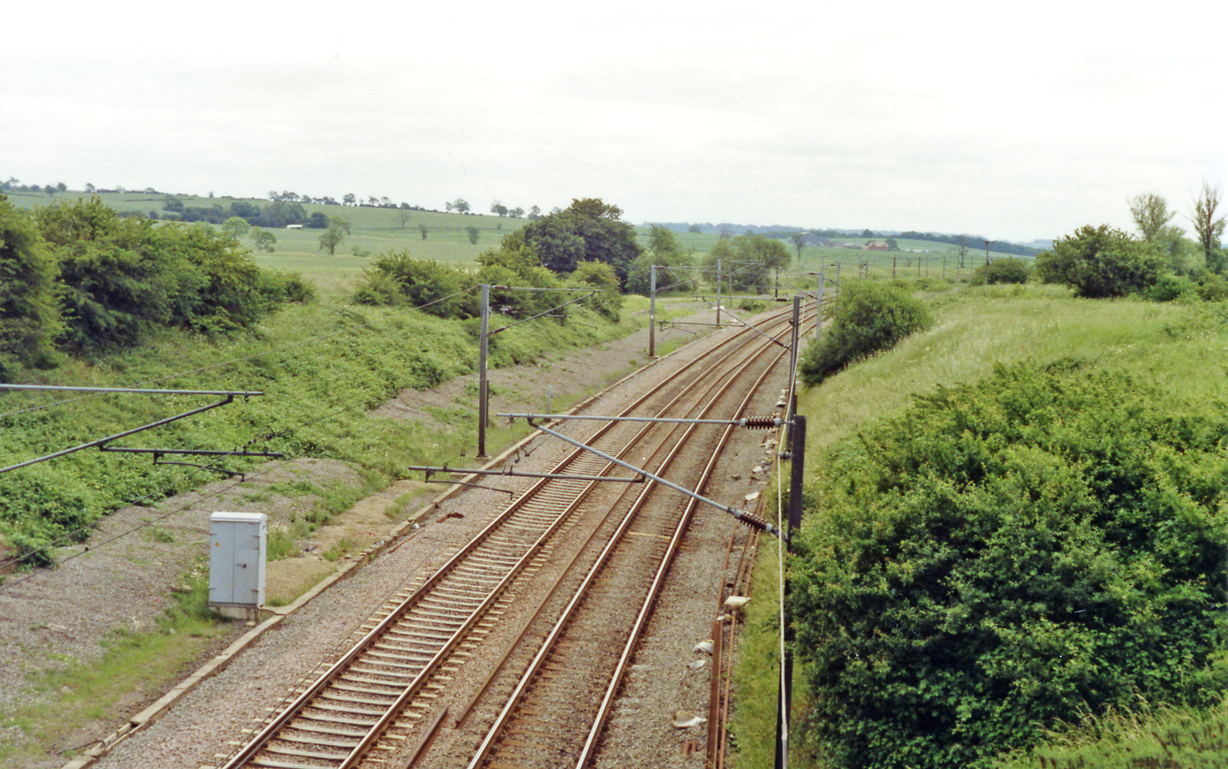
Hougham railway station
Hougham railway station is a former railway station in Hougham, Lincolnshire. The station was about a mile east of the village of Hougham itself and was...
Hougham, Lincolnshire
Hougham () is a village and civil parish in the South Kesteven district of Lincolnshire, England, 6 miles (10 km) north from Grantham. The village of Marston...

Marston, Lincolnshire
Marston is a village and civil parish in the South Kesteven district of Lincolnshire, England. The population of the civil parish at the 2011 census was...

Gelston, Lincolnshire
Gelston is a village in the South Kesteven district of Lincolnshire, England. It is 2 miles (3 km) west from the A607 road, 5 miles (8 km) north from Grantham...
Nearby Amenities
Located within 500m of 52.993938,-0.66934Have you been to Hougham?
Leave your review of Hougham below (or comments, questions and feedback).