Horton
Civil Parish in Staffordshire Staffordshire Moorlands
England
Horton
Horton is a civil parish located in the county of Staffordshire, England. Situated in the East Staffordshire district, Horton covers an area of approximately 8.6 square miles (22.4 square kilometers). The parish is predominantly rural, with a population of around 400 residents.
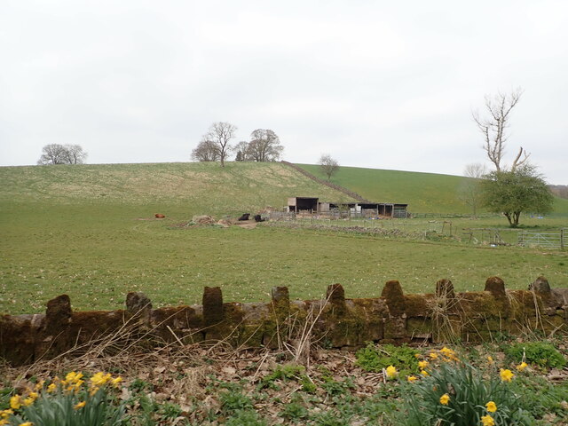
Horton is characterized by its picturesque countryside, rolling hills, and scattered farms. The village itself is small, with a charming mix of traditional cottages and newer residential properties. The local community is close-knit, with a strong sense of pride in preserving the area's natural beauty and heritage.
The parish is well-connected to nearby towns and cities, with the A515 road passing through Horton, providing easy access to Burton upon Trent, Ashbourne, and Uttoxeter. The village is also served by regular bus services, ensuring convenient transportation for residents and visitors.
Horton is home to All Saints' Church, a historic place of worship dating back to the 13th century. The church's architecture is a testament to the area's rich history, with its Norman tower and beautiful stained glass windows. The church holds regular services and plays an active role in the local community.
The rural setting of Horton offers ample opportunities for outdoor activities, such as walking, cycling, and horse riding. The surrounding countryside is dotted with footpaths and bridleways, allowing residents and visitors to explore the scenic landscapes and enjoy the peaceful ambiance.
Overall, Horton is a delightful civil parish that combines natural beauty, a strong sense of community, and a rich historical heritage, making it an appealing place to live or visit.
If you have any feedback on the listing, please let us know in the comments section below.
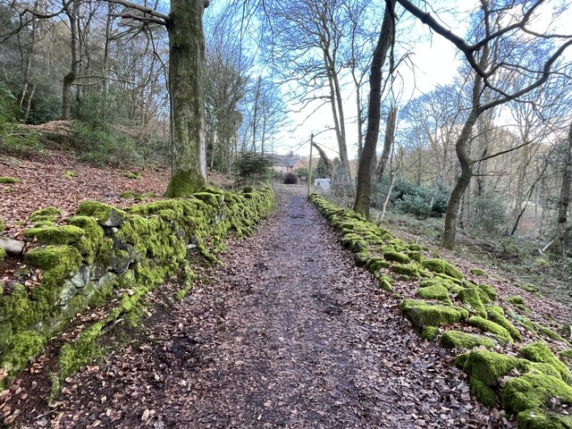
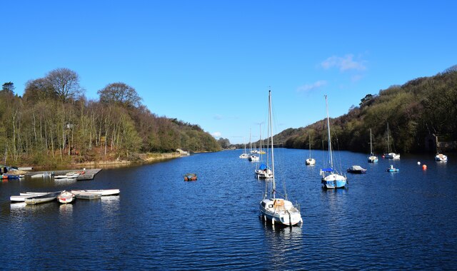
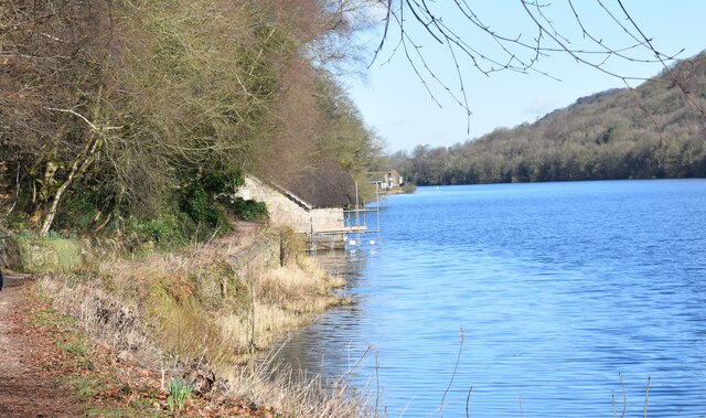
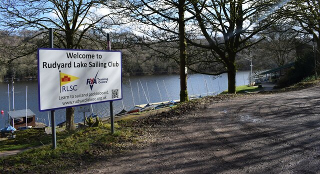
Horton Images
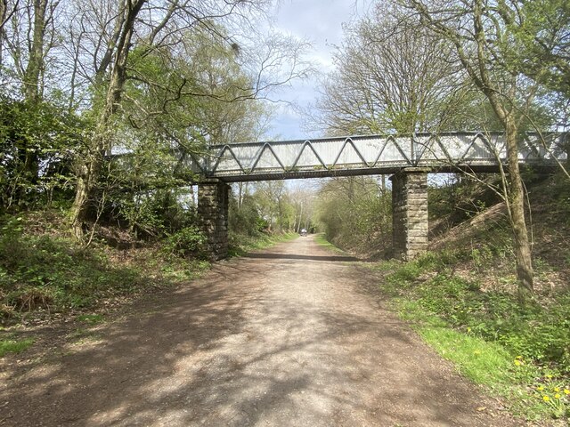
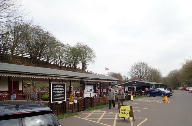
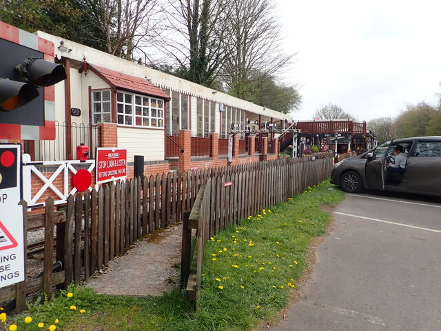
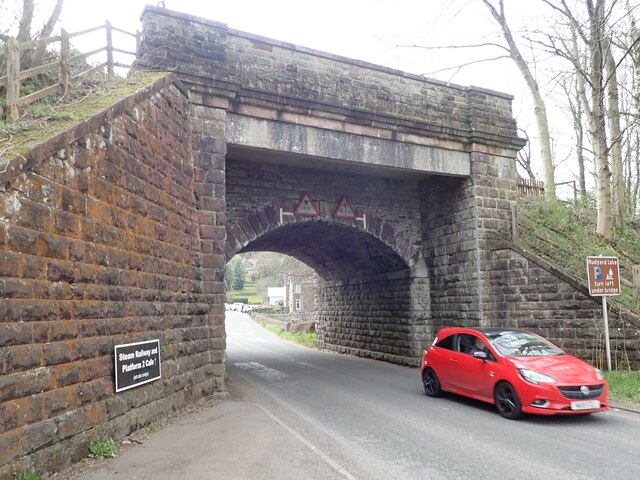
Images are sourced within 2km of 53.122647/-2.093586 or Grid Reference SJ9358. Thanks to Geograph Open Source API. All images are credited.


Horton is located at Grid Ref: SJ9358 (Lat: 53.122647, Lng: -2.093586)
Administrative County: Staffordshire
District: Staffordshire Moorlands
Police Authority: Staffordshire
What 3 Words
///underline.prank.directors. Near Leek, Staffordshire
Nearby Locations
Related Wikis
Horton, Staffordshire
Horton is a village and civil parish in the English county of Staffordshire. The population of the civil parish as taken at the 2011 census was 781. It...

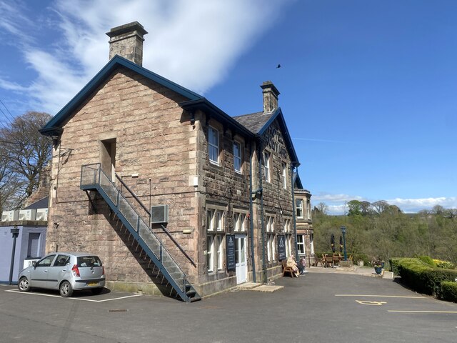
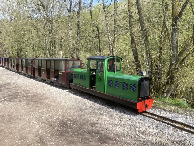
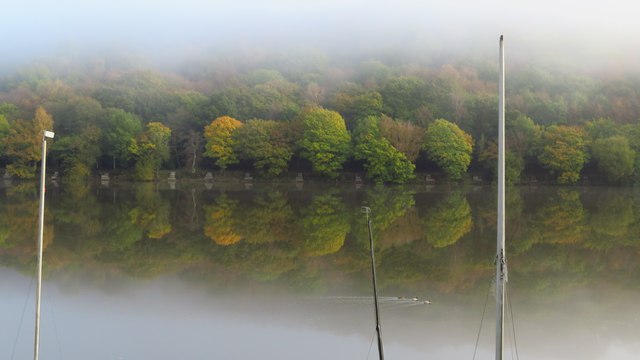
Rudyard Lake Steam Railway
The Rudyard Lake Steam Railway is a ridable miniature railway and the third railway of any gauge to run along the side of Rudyard Lake in Staffordshire...
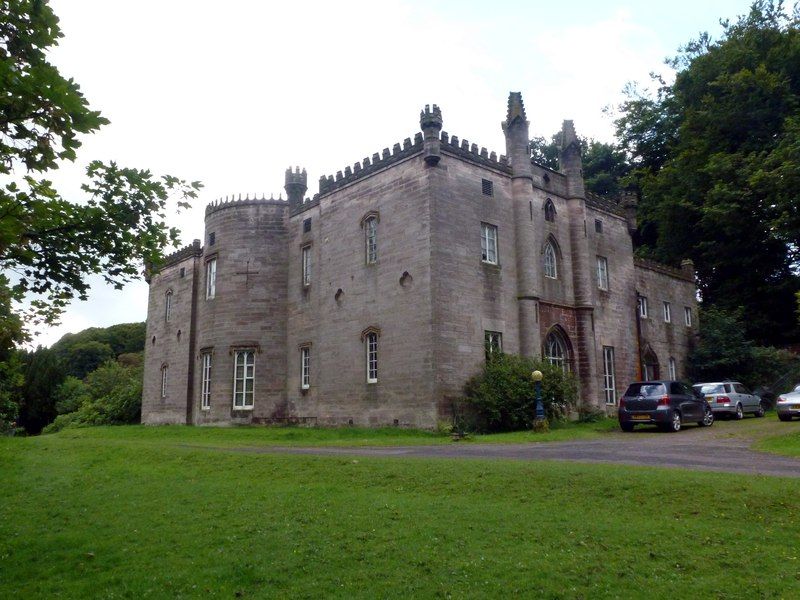
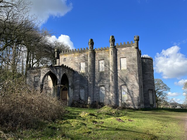
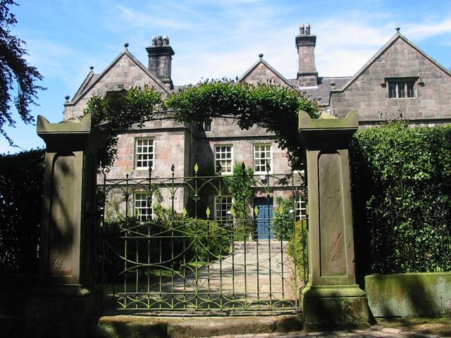
Cliffe Park Hall
Cliffe Park Hall is a country house near Rudyard in Staffordshire, England. During its 200-year history, it has been a private residence, a golf club...

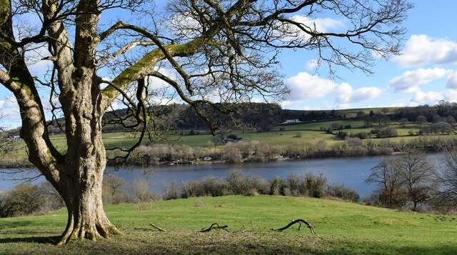
Rudyard Lake
Rudyard Lake is a reservoir in Rudyard, Staffordshire, located north-west of the town of Leek, Staffordshire. It was constructed in the late 18th century...
Nearby Amenities
Located within 500m of 53.122647,-2.093586Have you been to Horton?
Leave your review of Horton below (or comments, questions and feedback).