Horton
Civil Parish in Dorset East Dorset
England
Horton
Horton is a civil parish located in the county of Dorset, in the southern part of England. It is situated within the district of East Dorset and is part of the historic region of Cranborne Chase. The parish covers an area of approximately 7 square kilometers and has a population of around 300.
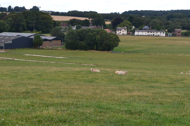
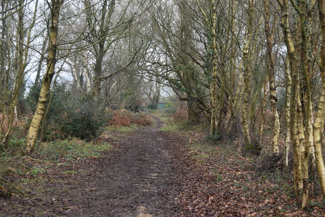
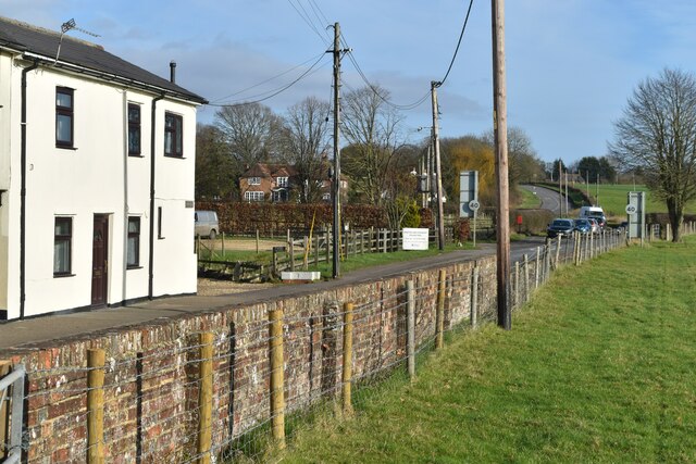
The village of Horton is characterized by its rural beauty and picturesque surroundings. It is surrounded by rolling hills, open fields, and woodland areas, making it a perfect destination for nature lovers and outdoor enthusiasts. The village itself is small, consisting of a few traditional cottages and houses, as well as a church and a village hall.
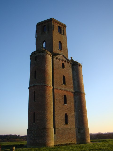
One of the notable landmarks in Horton is Horton Tower, a historical structure that dates back to the 18th century. The tower was originally built as a folly and is now a Grade II listed building. It offers panoramic views of the surrounding countryside and is a popular spot for visitors.
The village of Horton is known for its strong community spirit and hosts various events and activities throughout the year, including a summer fete and a Christmas market. The village also has a vibrant social scene, with a local pub serving as a gathering place for residents and visitors alike.
Overall, Horton is a charming and tranquil civil parish that offers a peaceful retreat for those seeking a rural escape in the heart of Dorset.
If you have any feedback on the listing, please let us know in the comments section below.
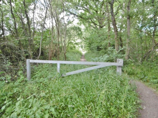
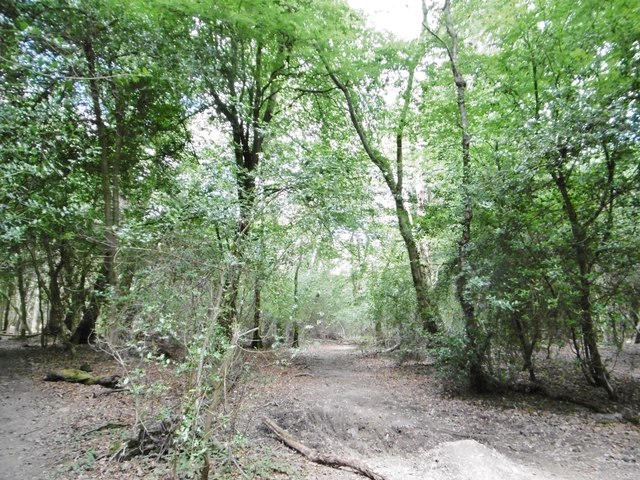
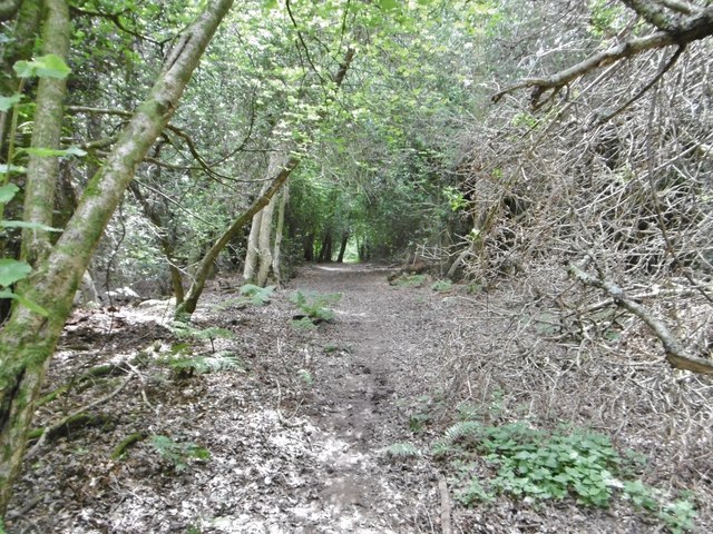
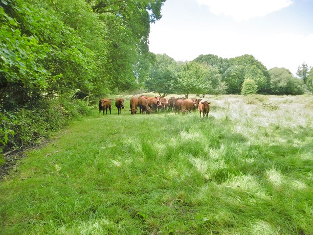
Horton Images
Images are sourced within 2km of 50.862652/-1.934564 or Grid Reference SU0407. Thanks to Geograph Open Source API. All images are credited.


Horton is located at Grid Ref: SU0407 (Lat: 50.862652, Lng: -1.934564)
Administrative County: Dorset
District: East Dorset
Police Authority: Dorset
What 3 Words
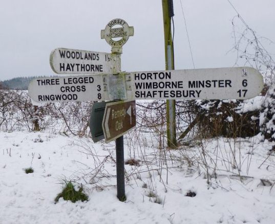
///rehearsed.domain.parsnips. Near Three Legged Cross, Dorset
Nearby Locations
Related Wikis
Horton Heath, Dorset
Horton Heath is a small village in Dorset, England situated one mile from Three Legged Cross and two miles from Horton. It consists of a main road, with...

Horton, Dorset
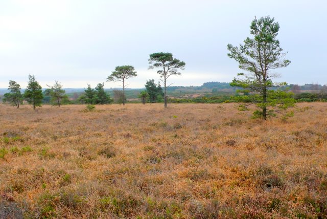
Horton is a village in East Dorset, England, situated on the boundary between the chalk downland of Cranborne Chase and the Dorset Heaths, and ten miles...

Horton Priory
Horton Priory was a priory at Horton in Dorset, England. It was founded as a Benedictine abbey around 970 by Ordgar, Earl of Devon, or his son, Ordulph...

Mannington, Dorset
Mannington and its southerly neighbour Lower Mannington are hamlets in the English county of Dorset. They are located within Holt parish 2.5 miles (4 km...

Woodlands, Dorset
Woodlands is a village and civil parish in the East Dorset district of Dorset, South-West England. It is five miles (8 km) north of Wimborne Minster. The...

All Saints' Church, Chalbury
All Saints' Church is a Church of England church in Chalbury, Dorset, England. It has 13th-century origins, with later alterations and additions, and many...
Chalbury
Chalbury is a village in the English county of Dorset. It lies on the southern edge of Cranborne Chase within the East Dorset administrative district of...
Holt Heath, Dorset
Holt Heath is a 4.88 square kilometres (1.88 sq mi) common situated four miles north-east of Wimborne Minster in east Dorset, southern England, close to...
Nearby Amenities
Located within 500m of 50.862652,-1.934564Have you been to Horton?
Leave your review of Horton below (or comments, questions and feedback).