Brook End
Settlement in Wiltshire
England
Brook End
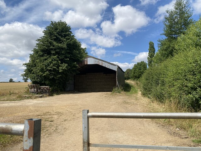
Brook End is a small rural village located in the county of Wiltshire, England. Situated in the southwestern region of the country, it is surrounded by picturesque countryside and rolling hills. The village is part of the civil parish of Steeple Ashton and falls within the administrative district of West Wiltshire.
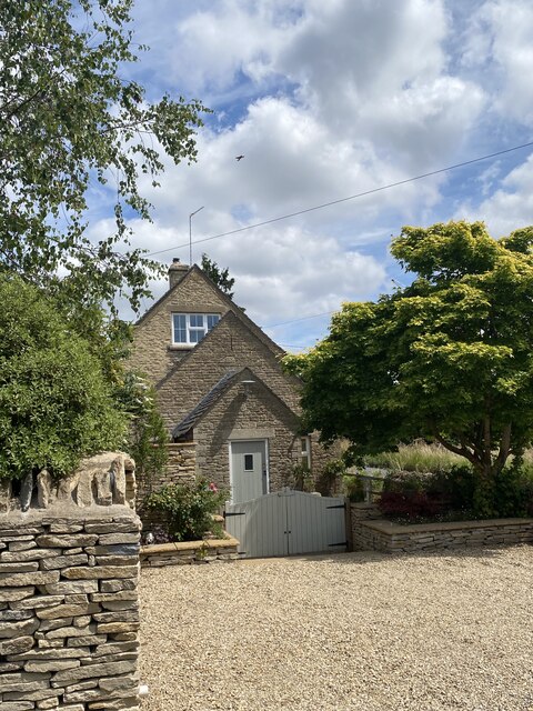
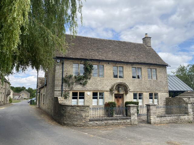
With a population of around 200 residents, Brook End exudes a quiet and tranquil atmosphere. The village is characterized by its charming thatched cottages, historic buildings, and well-maintained gardens, adding to its overall appeal. The surrounding landscape is dotted with fields and meadows, offering stunning views and providing a peaceful retreat for nature lovers.
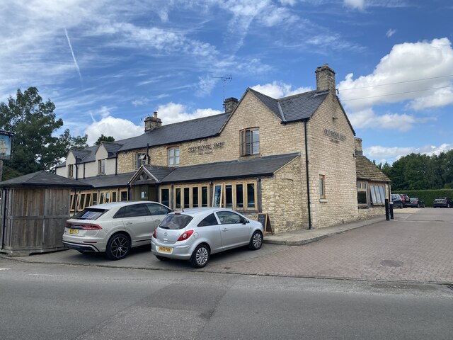
Although small, Brook End has a strong sense of community. The village hosts various social events throughout the year, including summer fairs and festive gatherings, where locals come together to celebrate and strengthen their bonds. Additionally, the village has a local pub, which serves as a popular meeting place for residents and visitors alike.
Despite its rural setting, Brook End benefits from its proximity to nearby towns and cities. The larger town of Trowbridge is approximately 5 miles away, offering a range of amenities such as shops, schools, and healthcare facilities. The city of Bath is also within easy reach, providing further cultural and recreational opportunities.
In summary, Brook End is a charming and idyllic village nestled in the beautiful countryside of Wiltshire. Its close-knit community, picturesque surroundings, and convenient location make it an attractive place to live or visit for those seeking a peaceful retreat.
If you have any feedback on the listing, please let us know in the comments section below.
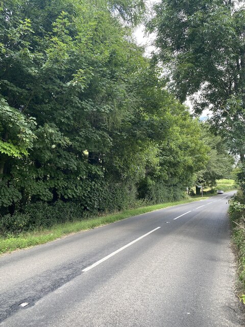
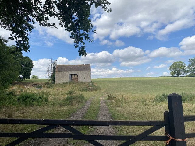
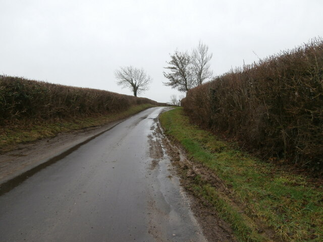
Brook End Images
Images are sourced within 2km of 51.554626/-2.2465921 or Grid Reference ST8384. Thanks to Geograph Open Source API. All images are credited.


![Luckington houses [3] Whitehouse, Sherston Road, is a former farmhouse. Built in the 18th century of rendered rubble stone under a stone slate roof. There is a 19th century porch and a later rear wing. Listed, grade II, with details at: <span class="nowrap"><a title="https://historicengland.org.uk/listing/the-list/list-entry/1199810" rel="nofollow ugc noopener" href="https://historicengland.org.uk/listing/the-list/list-entry/1199810">Link</a><img style="margin-left:2px;" alt="External link" title="External link - shift click to open in new window" src="https://s1.geograph.org.uk/img/external.png" width="10" height="10"/></span>
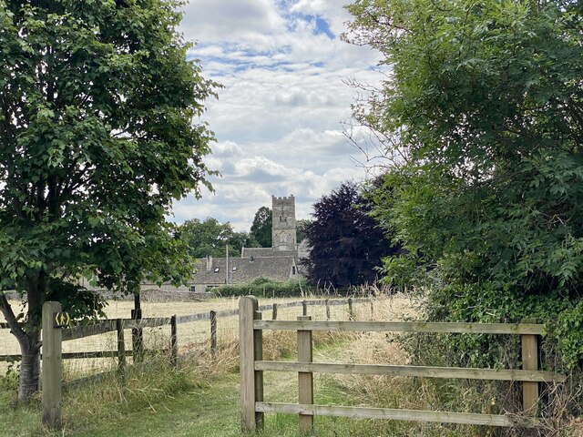
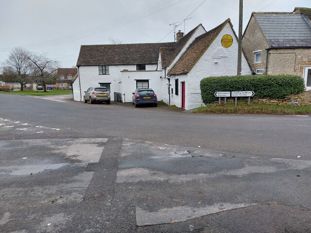
Luckington is a village in northwest Wiltshire, close to the border with Gloucestershire, some 6½ miles southwest of Malmesbury and about 8½ miles northwest of Chippenham. The village is mentioned in the Domesday Book as Lochintone. Five roads meet at Luckington, including the former main Oxford to Bristol road via Malmesbury and Sherston.](https://s1.geograph.org.uk/geophotos/07/54/01/7540121_65938d25.jpg)
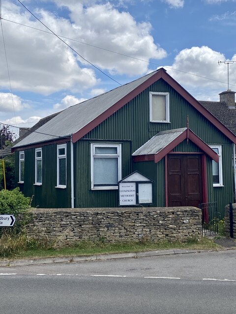
![Luckington houses [4] Rose Cottage, Sherston Road, was formerly two cottages, now one. Built circa 1800 and mid 19th century of rubble stone, with roofs partly of stone slate and partly of Bridgwater tiles. Listed, for group value, grade II, with details at: <span class="nowrap"><a title="https://historicengland.org.uk/listing/the-list/list-entry/1022380" rel="nofollow ugc noopener" href="https://historicengland.org.uk/listing/the-list/list-entry/1022380">Link</a><img style="margin-left:2px;" alt="External link" title="External link - shift click to open in new window" src="https://s1.geograph.org.uk/img/external.png" width="10" height="10"/></span>
Luckington is a village in northwest Wiltshire, close to the border with Gloucestershire, some 6½ miles southwest of Malmesbury and about 8½ miles northwest of Chippenham. The village is mentioned in the Domesday Book as Lochintone. Five roads meet at Luckington, including the former main Oxford to Bristol road via Malmesbury and Sherston.](https://s3.geograph.org.uk/geophotos/07/54/01/7540123_f1de2f74.jpg)
Brook End is located at Grid Ref: ST8384 (Lat: 51.554626, Lng: -2.2465921)
Unitary Authority: Wiltshire
Police Authority: Wiltshire
What 3 Words
///promotes.monkey.basically. Near Luckington, Wiltshire
Nearby Locations
Related Wikis


Nearby Amenities
Located within 500m of 51.554626,-2.2465921Have you been to Brook End?
Leave your review of Brook End below (or comments, questions and feedback).