Horseheath
Civil Parish in Cambridgeshire South Cambridgeshire
England
Horseheath
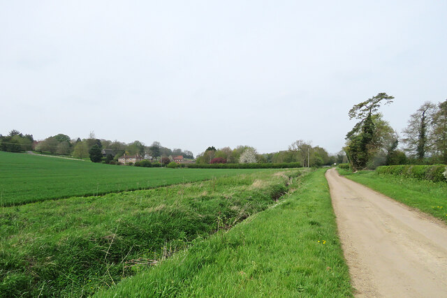
Horseheath is a civil parish located in the county of Cambridgeshire, England. Situated approximately 14 miles southeast of the city of Cambridge, Horseheath covers an area of around 1,500 acres. The parish is predominantly rural, characterized by picturesque countryside, rolling hills, and open fields.
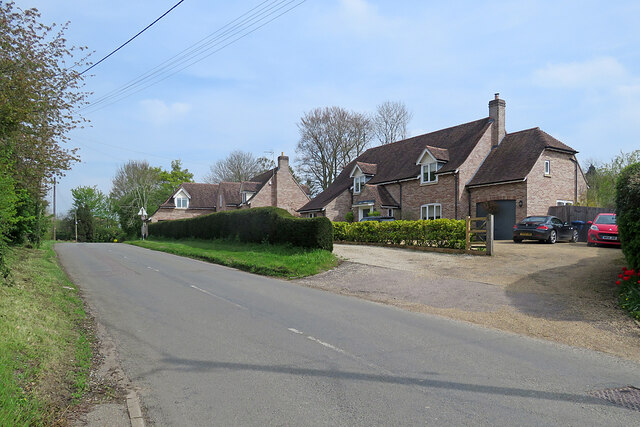
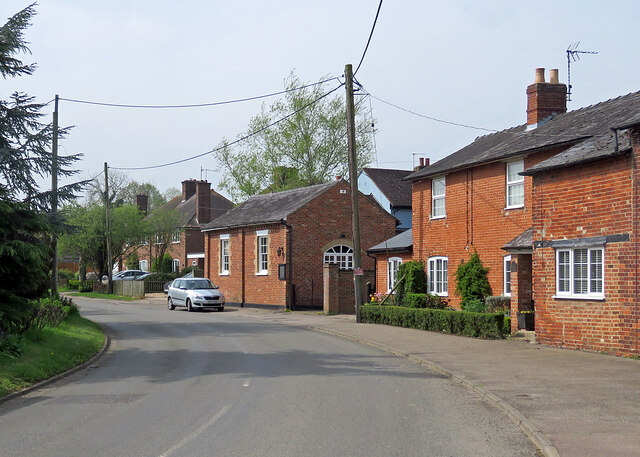
Horseheath is home to a small population, with the 2011 census recording around 400 residents. The village itself consists of a scattering of houses, a church, and a village hall. The parish is known for its peaceful and idyllic setting, attracting those seeking a quiet and tranquil lifestyle.
Agriculture plays a significant role in the local economy, with many residents engaged in farming activities. The fertile land in the area supports a variety of crops, including cereals, vegetables, and fruits. Horseheath also boasts several equestrian facilities, making it a popular destination for horse enthusiasts.
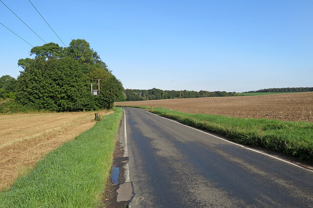
The village is well-connected, with several major roads passing through or near the area, including the A1307 and A1301. This allows for convenient access to nearby towns and cities, such as Cambridge and Haverhill. Public transportation options are limited, with only a few bus routes serving the area.
Horseheath offers a close-knit community atmosphere, with various social and recreational activities organized by local groups and organizations. The village hall hosts events and gatherings throughout the year, providing opportunities for residents to come together and foster community spirit.
In summary, Horseheath is a peaceful and rural civil parish in Cambridgeshire, known for its picturesque countryside, agricultural activities, and close-knit community.
If you have any feedback on the listing, please let us know in the comments section below.
Horseheath Images
Images are sourced within 2km of 52.09843/0.336875 or Grid Reference TL6047. Thanks to Geograph Open Source API. All images are credited.
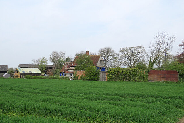
![Horseheath: the rear of Hartford House "House, formerly rectory, c 1700, extended on west side C19. Timber-framed [and] plaster rendered with hipped tiled roof and wood eaves" (Grade II listing). The picture was taken from All Saints' churchyard as a spring morning turned cloudy.](https://s0.geograph.org.uk/geophotos/07/46/96/7469652_da1c05bb.jpg)
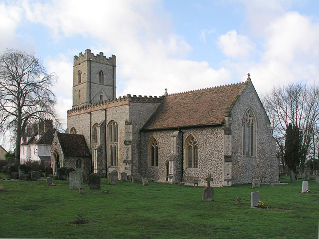
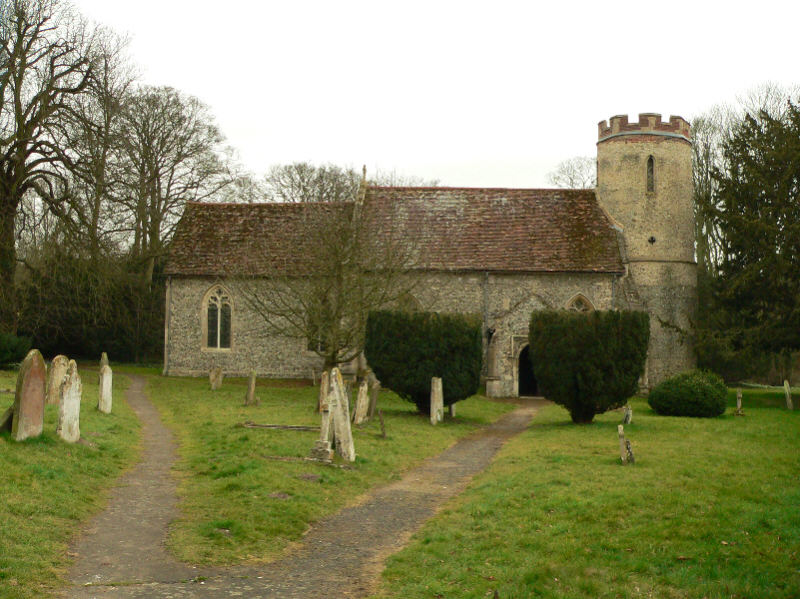
![Horseheath: All Saints - north side The church dates from the 14th and 15th centuries and was much restored in the 19th. "Nave without aisles Perp, a fine impression inside, with very large three-light transomed windows - a veritable glasshouse. The height of the nave was brought down [see evidence of the former roof line on the east wall of the tower] and brick battlements put up" (Nikolaus Pevsner).](https://s0.geograph.org.uk/geophotos/07/46/96/7469668_283c07e3.jpg)
![Horseheath: All Saints - south side The church dates from the 14th and 15th centuries and was much restored in the 19th. "Nave without aisles Perp, a fine impression inside, with very large three-light transomed windows - a veritable glasshouse. The height of the nave was brought down [see evidence of the former roof line on the east wall of the tower] and brick battlements put up" (Nikolaus Pevsner).](https://s0.geograph.org.uk/geophotos/07/46/96/7469672_b4f18483.jpg)


Horseheath is located at Grid Ref: TL6047 (Lat: 52.09843, Lng: 0.336875)
Administrative County: Cambridgeshire
District: South Cambridgeshire
Police Authority: Cambridgeshire
What 3 Words
///presuming.atom.surround. Near Balsham, Cambridgeshire
Nearby Locations
Related Wikis

Horseheath
Horseheath is a village in Cambridgeshire, England, situated a few miles south-east of Cambridge, between Linton and Haverhill, on the A1307 road. It was...
Bartlow
Bartlow is a small village and civil parish in the South Cambridgeshire district of Cambridgeshire, England, about 12 miles (19 km) south-east of Cambridge...
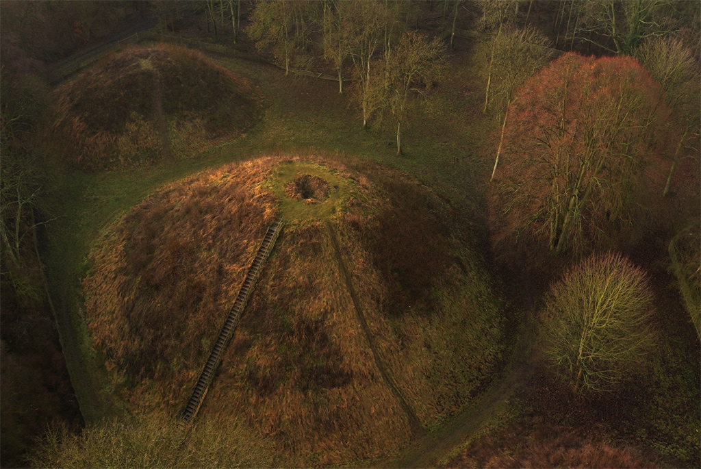
Bartlow Hills
Bartlow Hills is a Roman tumuli cemetery in Bartlow, Cambridgeshire, England. Four of the original seven tumuli or barrows remain; the largest three are...
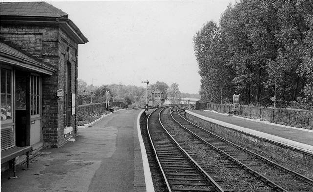
Bartlow railway station
Bartlow railway station was a station in Bartlow, Cambridgeshire on the Stour Valley Railway at the junction with the Saffron Walden Railway. There were...
Nearby Amenities
Located within 500m of 52.09843,0.336875Have you been to Horseheath?
Leave your review of Horseheath below (or comments, questions and feedback).