Hornby-with-Farleton
Civil Parish in Lancashire Lancaster
England
Hornby-with-Farleton

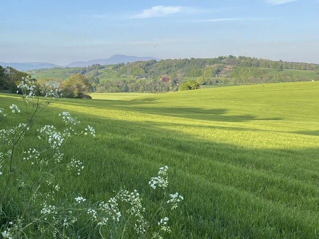
Hornby-with-Farleton is a civil parish located in the county of Lancashire, England. Situated on the western edge of the Forest of Bowland, it lies approximately 9 miles northeast of Lancaster and 6 miles south of Kirkby Lonsdale. The parish encompasses the villages of Hornby and Farleton, along with their surrounding rural areas.
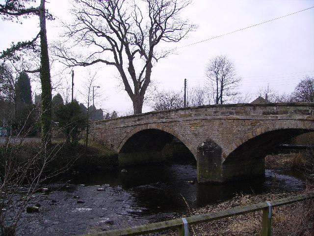
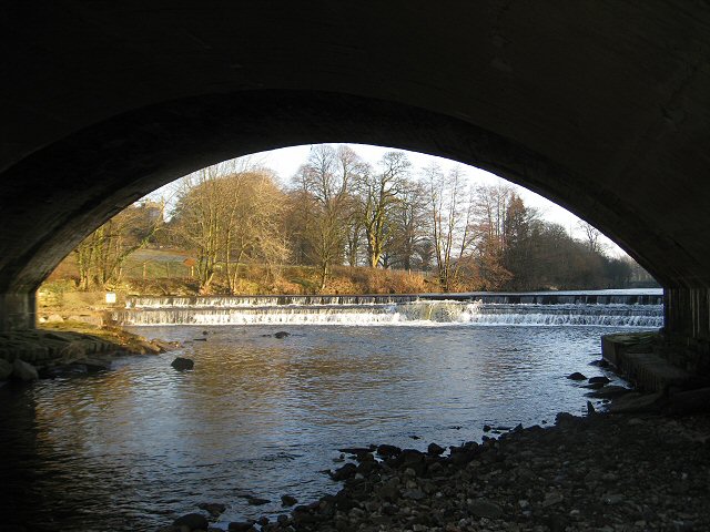
Hornby, the larger of the two villages, is known for its picturesque setting on the banks of the River Wenning. The village is characterized by its charming stone-built houses and historic landmarks. One of the notable attractions in Hornby is Hornby Castle, a 13th-century fortified manor house that has been privately owned since the 16th century. The castle is not open to the public but can be admired from afar, adding to the village's allure.
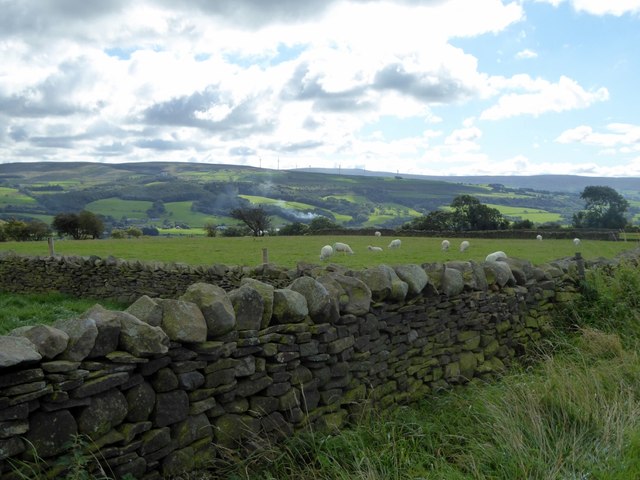
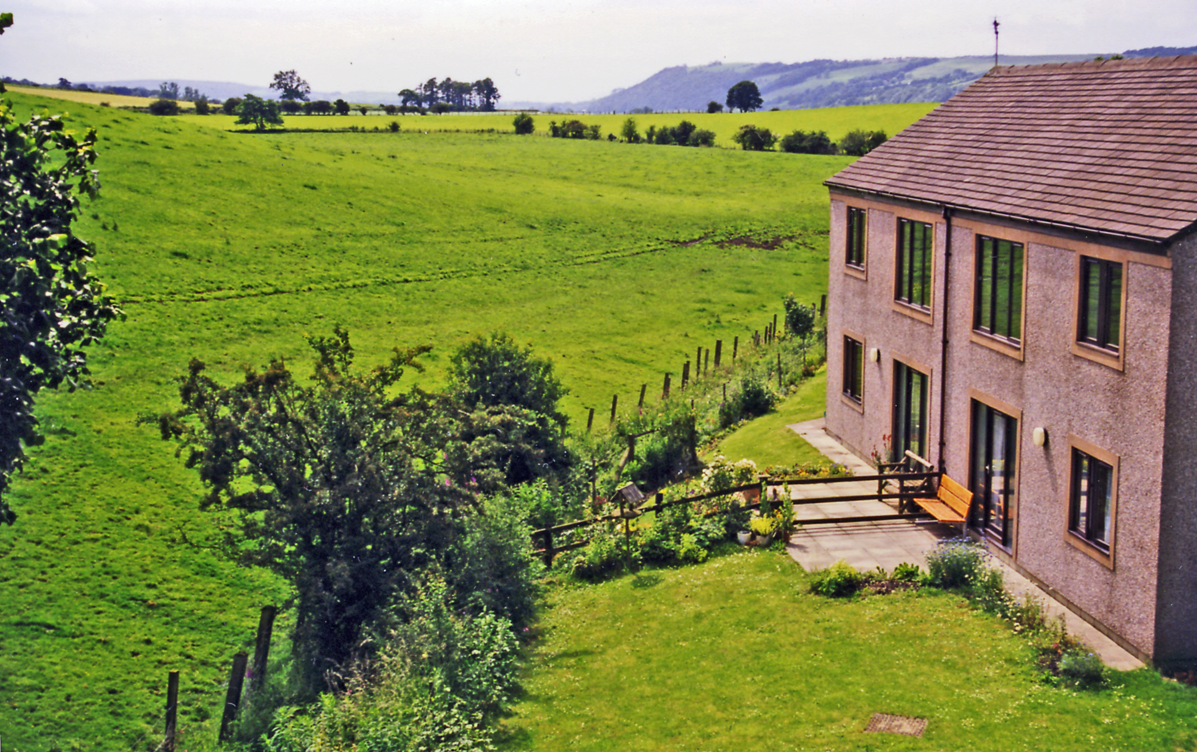
Farleton, on the other hand, is a smaller village that is primarily residential. It features a mix of traditional and modern houses, providing a tranquil countryside living experience. The village is surrounded by scenic landscapes and offers beautiful views of the nearby fells.
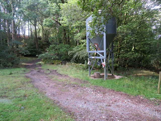
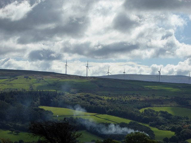
Both villages boast a close-knit community and a range of amenities, including local shops, pubs, and churches. The area is also popular with outdoor enthusiasts, offering plenty of opportunities for walking, cycling, and exploring the surrounding countryside.
Overall, Hornby-with-Farleton is a charming civil parish that combines natural beauty, historical landmarks, and a strong sense of community. It is a place where residents and visitors can enjoy the tranquility of rural Lancashire while being within easy reach of larger towns and cities.
If you have any feedback on the listing, please let us know in the comments section below.
Hornby-with-Farleton Images
Images are sourced within 2km of 54.103238/-2.649939 or Grid Reference SD5767. Thanks to Geograph Open Source API. All images are credited.

![Lunesdale Court With jubilee bunting. Converted into separate housing units in the mid-1980s.
Built in 1874 as the Lunesdale Union Workhouse, later known as Hornby Institution. In WW2 the building became a children&#039;s hostel which continued until 1953. Lunesdale Rural District Council then used the site for their offices and workshops, until the local government reorganisation in 1974. [David Kenyon]
Also see <span class="nowrap"><a title="https://www.workhouses.org.uk/Lunesdale/" rel="nofollow ugc noopener" href="https://www.workhouses.org.uk/Lunesdale/">Link</a><img style="margin-left:2px;" alt="External link" title="External link - shift click to open in new window" src="https://s1.geograph.org.uk/img/external.png" width="10" height="10"/></span>](https://s3.geograph.org.uk/geophotos/07/19/20/7192051_b5d270e3.jpg)


Hornby-with-Farleton is located at Grid Ref: SD5767 (Lat: 54.103238, Lng: -2.649939)
Administrative County: Lancashire
District: Lancaster
Police Authority: Lancashire
What 3 Words
///constrain.screen.childcare. Near Caton, Lancashire
Nearby Locations
Related Wikis
River Wenning
The River Wenning is a tributary of the River Lune, flowing through North Yorkshire and Lancashire. The name derives from the Old English Wann, meaning...
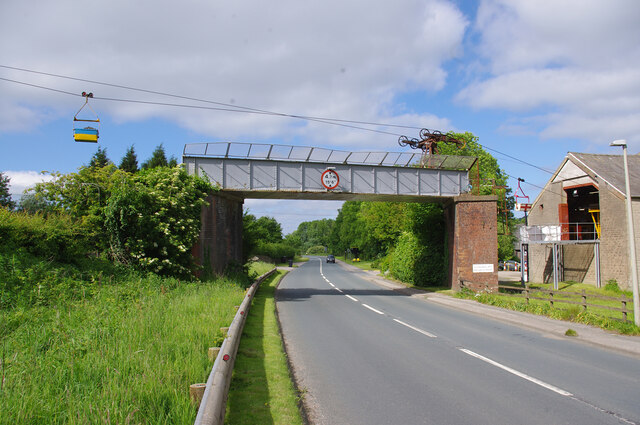
Hornby railway station
Hornby railway station served the village of Hornby in the City of Lancaster district of Lancashire, England. The station was located in a cutting off...

Hornby Village Institute
Hornby Village Institute is a public building in Main Street, Hornby, Lancashire, England. It is considered to be important architecturally, and is recorded...
Hornby-with-Farleton
Hornby-with-Farleton is a civil parish in the City of Lancaster in Lancashire, England. It had a population of 729 recorded in the 2001 census, increasing...
Nearby Amenities
Located within 500m of 54.103238,-2.649939Have you been to Hornby-with-Farleton?
Leave your review of Hornby-with-Farleton below (or comments, questions and feedback).